June 17 Torshavn, Faroe Island, Denmark

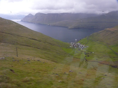
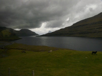
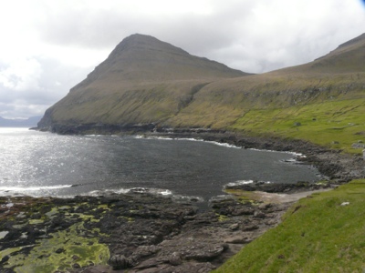
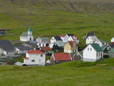
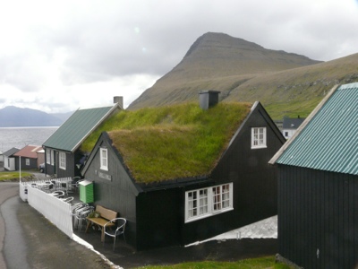
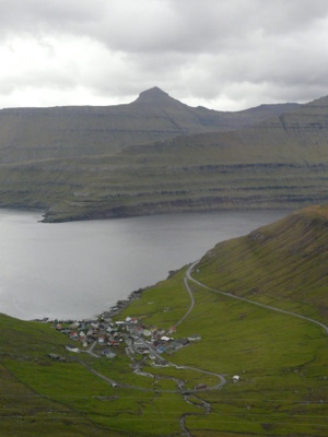
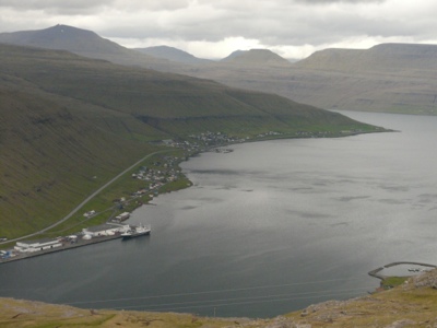
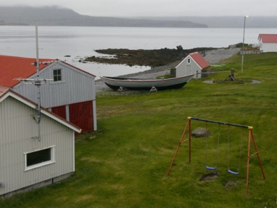
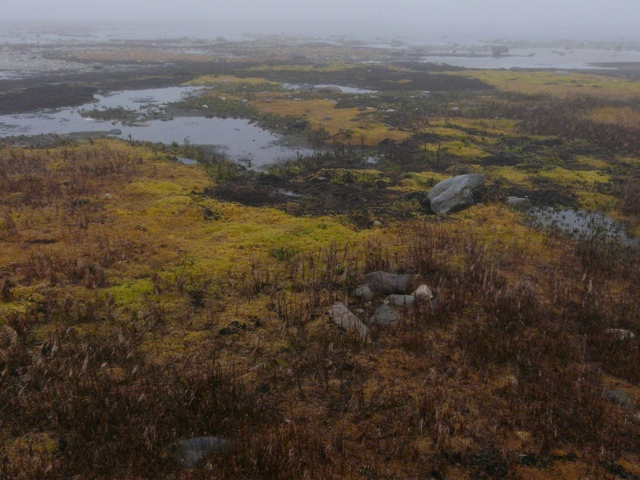
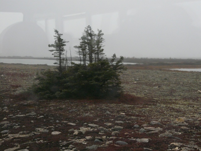
The Faroes are a group of 18 islands owned by Denmark. The capital is Torshavn and while the Faroes are self governing they do have 2 elected representatives in the Danish government. The islands are barren, hilly, wind blown, with many creeks running down the hill sides. The islands are connected bay series of bridges, tunnels and ferries. The islanders claim to have the only bridge over the Atlantic.

There is so much wind that 2 of the 4 windmills were blown over last year. There are only 2 crops that grow on the islands – potatoes and rhubarb. There are 40,000 people and 80,000 sheep. The sheep wander freely all summer and basically fend for themselves. They are put into the inner fields for winter and are only tended twice a year for shots,separating out the animals for slaughter and tagging the lambs.

We travelled through the beautiful countryside dotted with small villages, around the fiords and mountains. The main industry is fishing and fish farming. Like Iceland there appears to be a strong belief in trolls and homage is paid to their presence in a number of ways. We heard a few tales of the trolls here and in Iceland.

They have their own language, similar to Norse but also speak Danish and learn English in school from an early age. The British were here during WW11 and Denmark has some army and navy personnel here – but no planes or ships.

There is no underground water supply and all drinking water comes from rain of which there is usually plenty. Currently, however, there is a drought – 16 days without rain and the reservoirs are getting low.

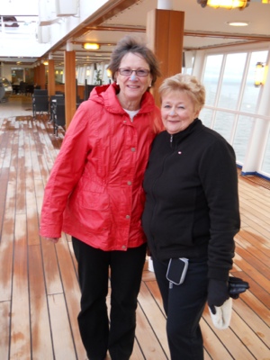
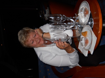
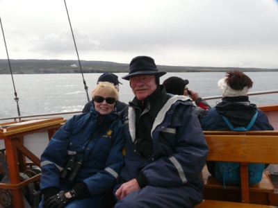
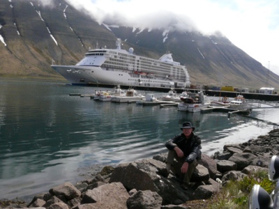
Colleen, you wanted to know what happened to your mom. I am attaching a couple of pictures – one of her at happy hour ( note the number of glasses, the drinks are free). The second is of her and Sharon following their initiation into the ” Blue nose Society”.

20120617-163144.jpg

20120617-163130.jpg

20120617-163404.jpg

20120617-163444.jpg

20120617-163511.jpg

20120617-163542.jpg

20120617-163611.jpg

20120617-163706.jpg

20120617-163740.jpg

Posted in Uncategorized | Leave a comment

June 16 At Sea

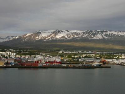
Correction – Isafjordour is not the second largest urban area in Iceland, Akureyri is, with a population of 17,000. Yesterday we were at Akureyri. Gary and I went whale watching while Sharon went inland to see lava fields and boiling mud fields. Maureen went on a botanical garden tour.

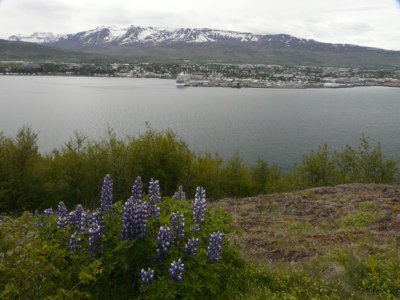
What a beautiful country! We were always surrounded by snow capped mountains as we sailed into the fiords. The fiord into Akureyri is 40 kilometers long. The air is clear, the only smoke or steam is from naturally occurring thermal pools. All heating is done using the underground thermals. Because heat is so cheap, all driveways and walkways are heated – no need to shovel.

As we drove along the mountains we see hundreds of creeks cascading down the mountains as the snow caps melt.

Our guides all talk about swimming in the ocean year round (occasionally having to break the ice to swim, in their bikinis). They do admit to not staying in the water long!

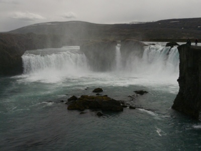
On our tour we stopped at a waterfall. We passed the usual lava fields as well as some farm land. While they have a long winter, September to June, the the water temperature is moderated by the gulf stream which surrounds the island. The main farming is dairy and sheep.

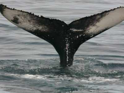
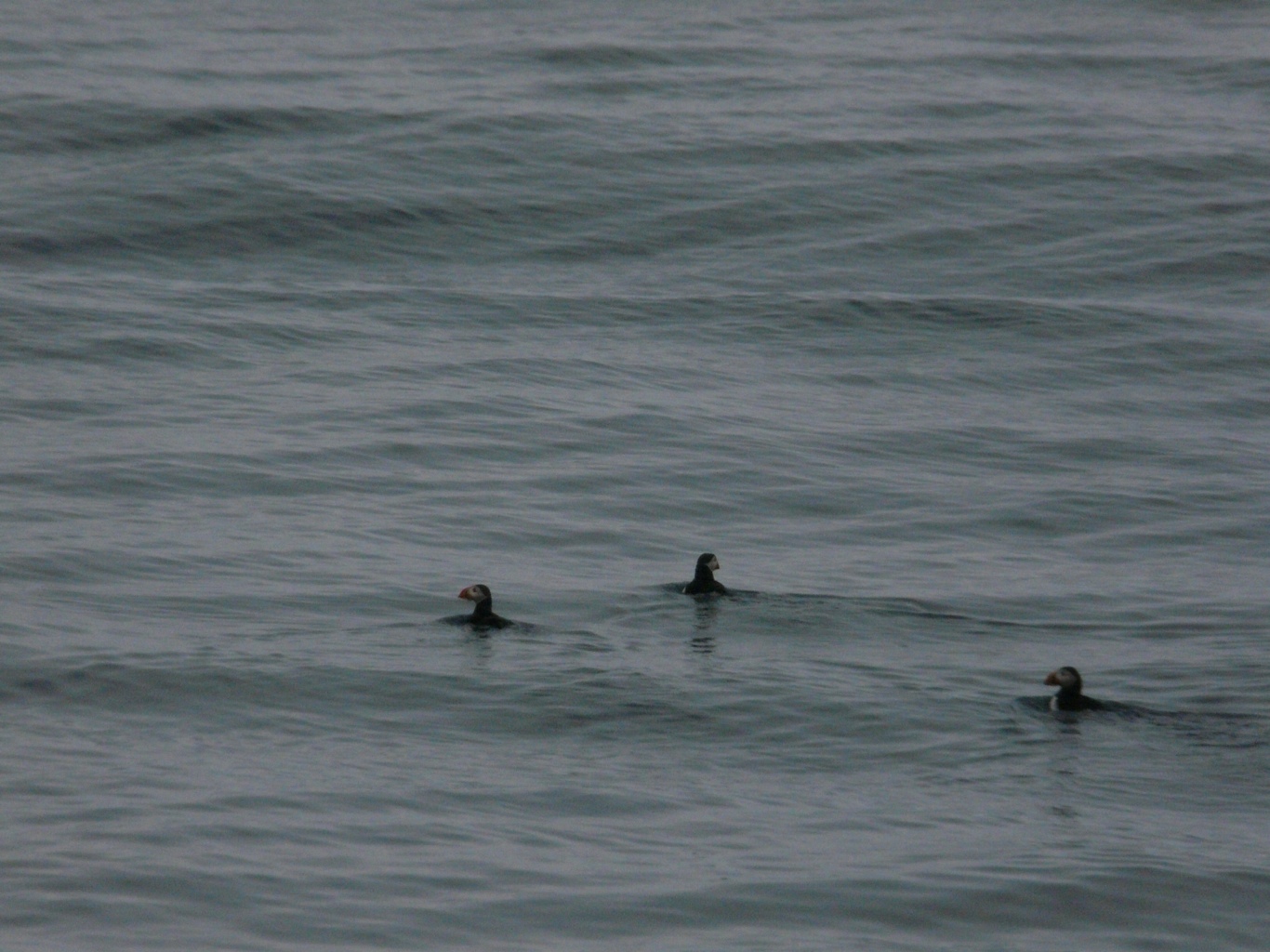
On our tour we saw Minke, Humpbacks and bottle nosed dolphins. There seemed to be quite a few whales in the bay we explored. In addition I finally got to see puffins.

Last night we crossed the Arctic circle on our way to the Faroe Islands.

20120616-171500.jpg

20120616-210442.jpg

20120616-210457.jpg

20120616-210522.jpg

20120616-210556.jpg

20120616-210612.jpg

Posted in Uncategorized | 1 Comment

June 14 Isafjordour

Yesterday we joined our ship about noon and left Reykjavik at 6:00 pm. Welcomed on board with champagne, we were quickly registered and seated for lunch. Our cabins are wonderful complete with a walk in closet, marble bathroom, spacious sitting area, makeup table and balcony.

The ship traveled north passing the mountainous coast. It never really got dark although they said sunset was at 12:08 am and sunrise at1:56 am. Isafjordour is as far north as we will go, just above 66 latitude.

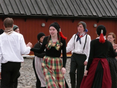
The clouds were low, hiding the mountain tops as we entered the fiord this morning. Gary and I visited Bird Island this morning and spent the afternoon wandering through town this afternoon. We were entertained by the local theatre group who worn traditional costumes and performed some traditional dances for us. Isafjordour is the second largest community in Iceland, population 2500.

Most buildings here and in Reykjavik have painted corrugated steel siding. There are very few trees in Iceland and have not seen any here. Early boat builders used driftwood and that is still the source of wood. The driftwood comes from Siberia. It is brought out to sea down the Siberian rivers and over a period of 4-5 years floats around the north pole, down the east coast of Greenland and into Icelandic waters.

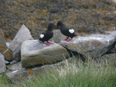
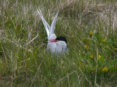
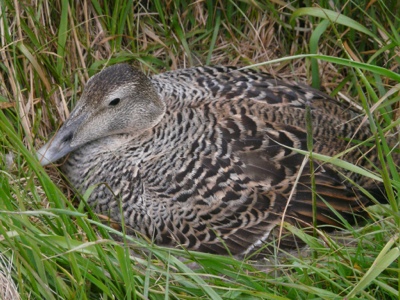
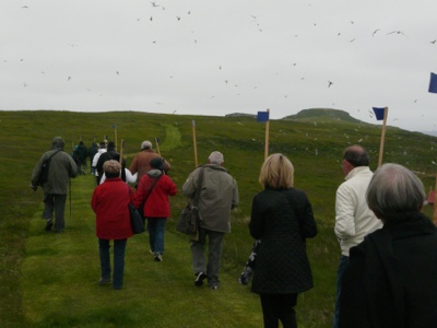
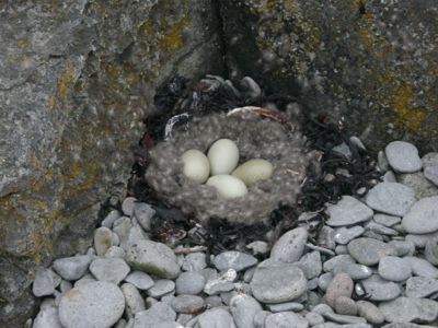
Bird Island has 2 permanent inhabitants. They earn their living by collecting, cleaning and preparing down from the eider ducks that nest on the island. We saw artic terns, eider ducks, guillamo ducks and several variety of gulls. There were puffins but we didn’t see them. We also saw some seals sunning on the rocks. We had typical summer weather with temperatures of 10C for the high.
As we walked around the island we had to carry sticks to ward off the birds defending their nests.

20120614-151026.jpg

20120614-151006.jpg

20120614-150915.jpg

20120614-150849.jpg

20120614-150801.jpg

20120614-150734.jpg

20120614-150708.jpg

20120614-150624.jpg

Posted in Uncategorized | 2 Comments

June 12 Reykjavik Iceland

Our flight took us up over Labrador, across the bottom of Greenland to Iceland. We started with a breakfast at a local restaurant and a tour of Reykjavik and surrounding area.

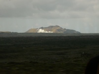
Desolate countryside of old lava flows with fields of blue Arctic Lupins to break up the bleakness. In the distance we can steam rising from the Blue Lagoon, one of many geothermal high temperature areas in Iceland. On our drive we crossed from the North American continent across the mid-Atlantic ridge to the European plate. As we drove through the rift valley we could see the crack marks. At this point the Earth’s crust is very thin (11 kms).

There are 48 active volcanos and many daily earthquakes, but as these are a result of the plates pulling apart they are mild. The gulf stream passes along the south and up the west coast which makes for mild winters. A snow fall is often followed by rain.

Their main source of energy is geothermal and all permanent buildings are heated using natural steam, in fact, the steam and water occurring naturally has to be cooled before being transferred.

Iceland does not have and has never had a military. They tried to be neutral during WW11. However, the Brits arrived and established an airfield. When they asked Iceland to pay for half of the base, they were told there was no money available but they could take it with them when they leave.We had dinner at a local restaurant and tried a local delicacy, minkewhale carpaccio. It was very tasty.


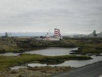
Some pictures of the landscape we passed through

20120612-174439.jpg

The steam from the Blue Lagoon in the distance

20120612-174558.jpg

20120612-174636.jpg

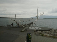
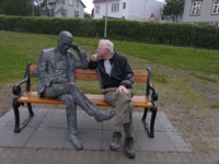
We passed several distinctive sculptures such as this

20120612-174802.jpg

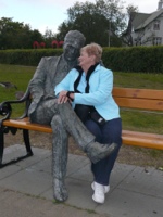
Gary and Maureen made a new friend

20120612-174851.jpg

20120612-174914.jpg

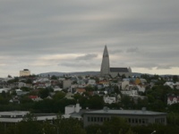
An overview of Reykjavik

20120612-175004.jpg

Posted in Uncategorized | 1 Comment

Iceland and Norway 2012

We leave here Monday, June 11 and fly direct to Reykjavik, Iceland on Icelandic Air. Our iterary is as follows:

June 12 & 13  – Reykjavik, Iceland

June 14 – Isagjordur, Iceland

June 15 – Akureyri, Iceland

June 16 – cruising Atlantic Ocean

June 17 – Torshaven, Denmark

June 18 – Lerwick, Scotland

June 19 – Alesund, Norway

June 20 – Geiranger, Norway

June 21 – Flam, Norway

June 22 – Bergen, Norway

June 23 & 24 – Oslo, Norway

June 25 – Copenhagen, Demark and fly home

Posted in Uncategorized | Leave a comment

Last Day Dog Sledding

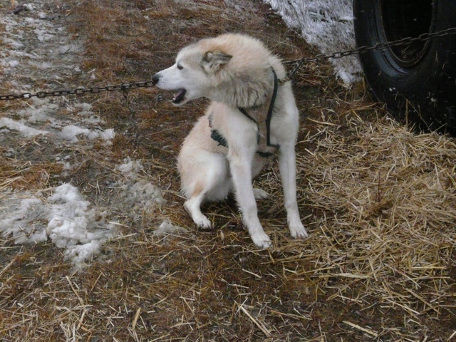
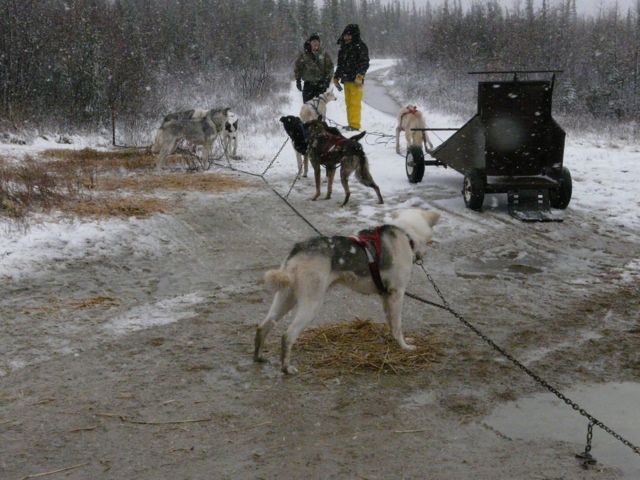
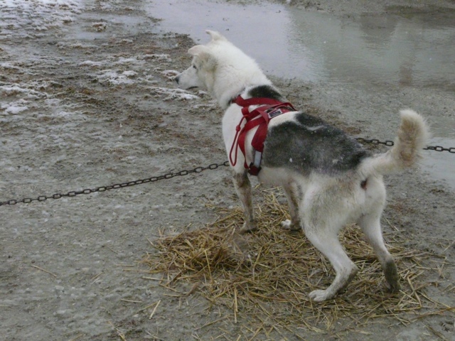
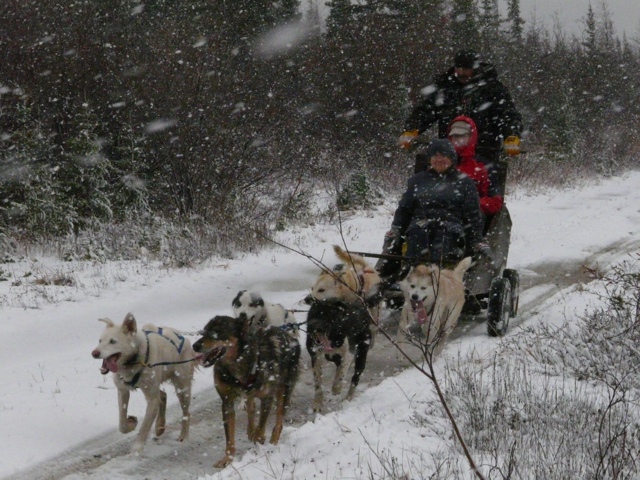
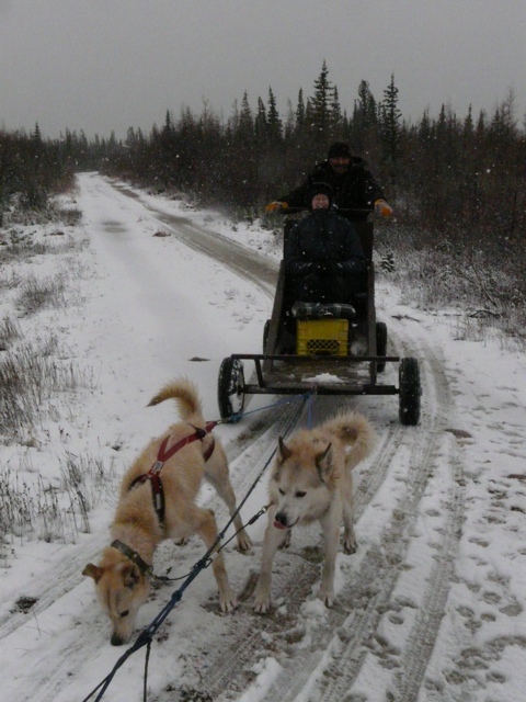
The winds howled all night and were still strong this morning so no helicopter rides. Instead we braved the elements to go dog sledding. Even though it is snowing and there is a little snow accumulated the sled was on wheels. The driver thought this was okay as he starts this time of year to build up the dogs’ muscle. He competes each year in the Hudson Bay dog sled race. This is an endurance test covering 400 kms. He won last year with a time around 30 hours. They go half way, rest for 6 hours and then finish the last half.

Apparently the weather we have experienced is fairly normal for this time of year except there has been more moisture. The ED of the Centre has been here 11 years and this is the wettest he has seen it. Th swayed accumulates on top of the ground as it cannot drain down through the permafrost. This should all freeze in a couple of weeks as the temperature drops.

The wind is from the north west and at high tide blows foam onto the beach road. Some guys drive their trucks through the foam, coating the trucks. Mike, the ED and tour guide says the truck will smell of sea weed and really stink for some time after this. Apparently if you are going to do this it is suggested you use someone else’s truck! A surprise when they get in it again. People will often leave their vehicles open with the keys in as theft is not an issue – there are no roads into or out of Churchill.

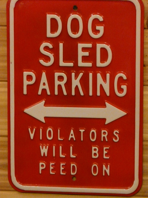
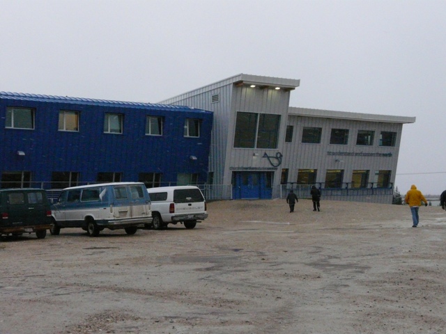
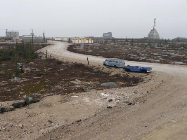
Today’s pictures are from the dog sledding, a visit to the Parks Canada facility which has displays of the PB dens and some of the animals we didn’t see, a outside tour of the Centre. The former rocket base had 5 different launch pads which are still there. There was also a series of “tunnels” (really culverts) for the staff to go between the pads, assembly, storage and control centre.

20111017-173840.jpg

20111017-173856.jpg

20111017-174010.jpg

20111017-173928.jpg

20111017-174040.jpg

20111017-174059.jpg

20111017-184633.jpg

20111017-184653.jpg

20111017-184705.jpg

20111017-184717.jpg

20111017-184738.jpg

20111017-184758.jpg

20111017-184812.jpg

Posted in Uncategorized | 1 Comment

Sunday Tundra Buggy Ride

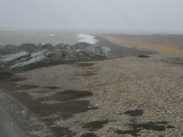
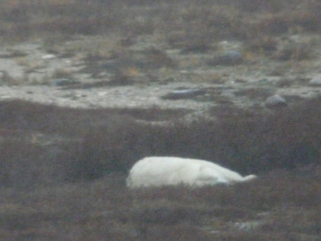
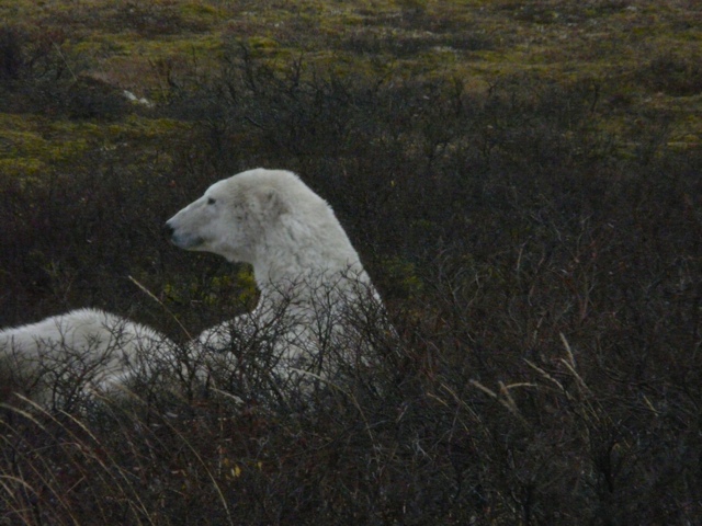
Today we had our second ride on the tundra. The wind was howling with gusts up over 90km/hour, the rain was pelting down and the bears were mostly hunkered down in the willow brush.

Our lecture last night was on the Marine Environment of Hudson Bay. Very interesting but I am not going into that here.

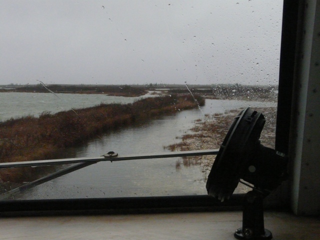
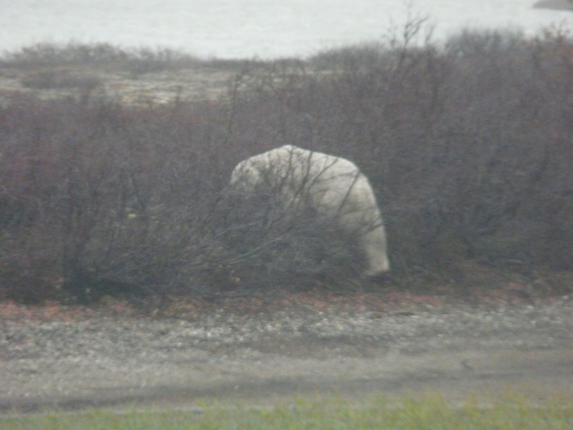
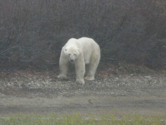
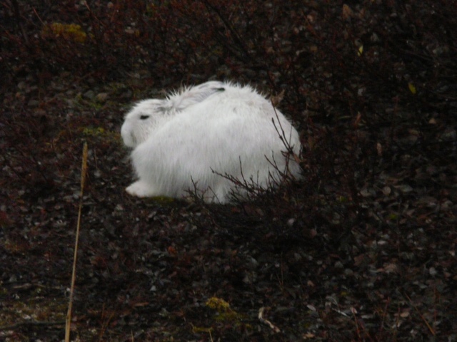
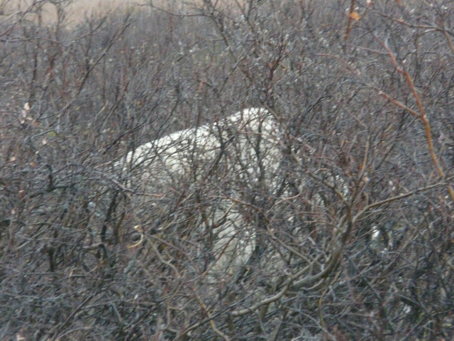
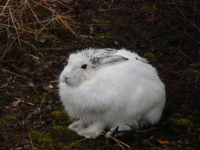
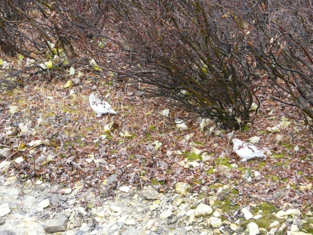
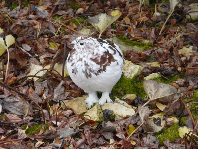
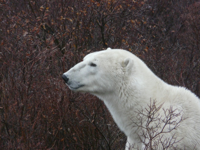
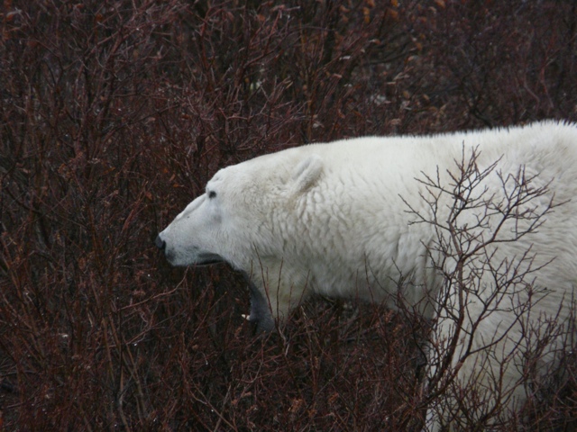
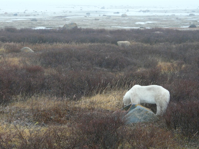
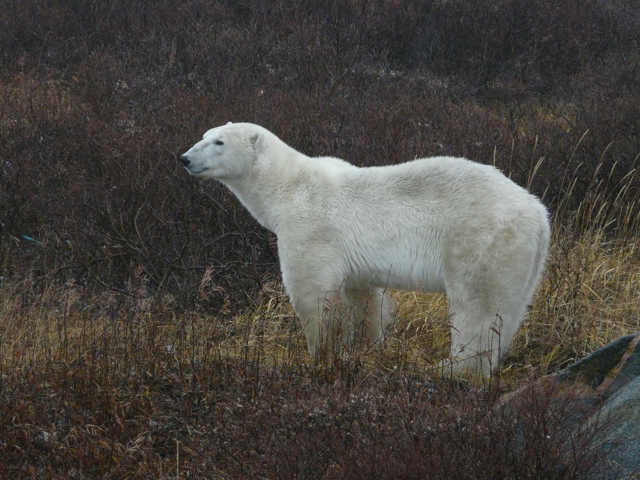
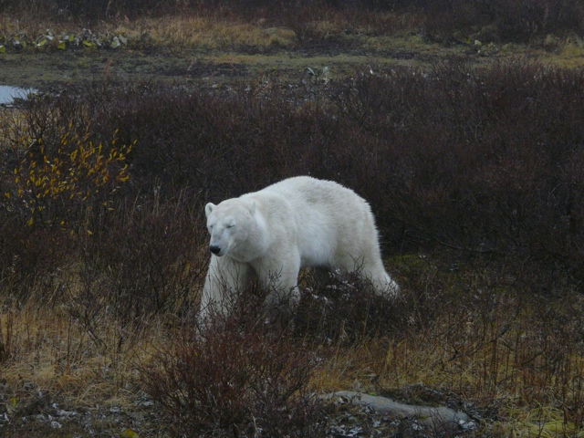
Our pictures today will show the “roads” we travelled in the buggy, some bears (we saw about 7) today, arctic hares, ptarmigans and some more of the landscape.

20111016-214244.jpg

20111016-214328.jpg

20111016-232933.jpg

20111016-233010.jpg

20111016-233042.jpg

20111016-233054.jpg

20111016-233135.jpg

20111016-233209.jpg

20111016-233247.jpg

20111016-233323.jpg

20111016-233349.jpg

20111016-233434.jpg

20111016-233458.jpg

20111016-233530.jpg

20111016-233513.jpg

Posted in Uncategorized | Leave a comment

Oct. 15 A Day in Churchill

Last night our lecture was on the impact of climate change on the polar bears.

I won’t go into all the details about what is happening and why, the short version is that the spring breakup of the ice is getting earlier every year and the freeze later. Therefore the PBs are spending less time feeding, more time fasting and more time in heat that is dangerous for them. For every week they lose on the ice they come off 10 kilos lighter and a female needs 300 – 400 extra lbs of fat to carry off a successful pregnancy. The population in this area has decreased by 22% over the last 2 decades. It is estimated this area will not have any PBs by 2035.

The cub survival rate is down dramatically so the current population cannot replace itself.

They are expected to survive further north especially in those areas where the bears currently don’t come ashore at all because of continuous ice coverage.

While there are other food sources such as harbor seals and beluga whales they take much more energy to hunt and the bears always return to the same area and are unlikely to migrate north.

Today we had a drive into Churchill, a town of 1000 permanent residents. On the way we passed lots of evidence of former military presence – the former atmospheric rocket range, the live artillery fire range, military hospital used during war, Canadian Naval Intelligence radar site used during cold war. At it’s peak there were 5500 people on the military base and it was a strategic command base during the cold war. There was a large air field which housed the refueling tankers used to keep the B52s in the air 24/7.

There are still a lot of unexploded shells around and the Dept. of National Defense has a program to sweep areas each year to clean them up. Last year they retrieved 35 “live” unexploded items from Polar Bear Alley.

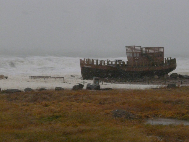
We passed a cargo ship that ran aground in the 50s (a local sight seeing place), a plane that went down in 1957.

We viewed the sea port out of which is shipped 500,000 metric tonnes of grain each year. The grain comes from Manitoba and Saskatchewan by huge trains, get stored in a complex of 300 computer operated silos and loaded onto cargo ships mainly heading to Europe.

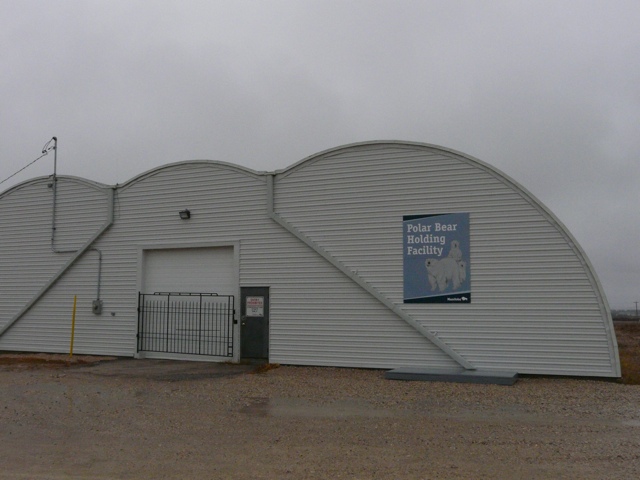
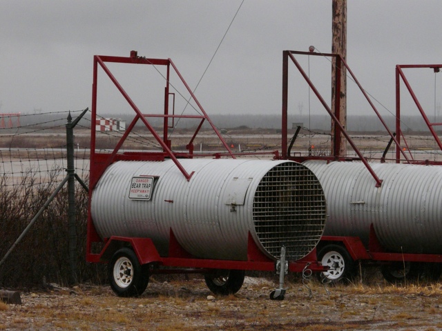
We visited the Polar Bear “jail”. We were not allowed inside but saw the culvert traps used to capture the “problem” bears. The traps are baited with a rag soaked in seal oil and when the bear goes into the trap and pulls on the rag the door slams shut caving the bear. The trap is AT&T he’d to a trailer and brought to the PB jail. The trap is backed up to the cell and the two doors opened. One of the officers bangs on the top of the trap and the bear moves over to the cell.

There are individual cells, the bears are not fed as they don’t eat during this time anyway, they are given water and the cels are air conditioned. When the ice forms the bears are moved back into a trap, driven to the edge of the ice and released.

There are 23 cells, two of which are larger to house a mother and cubs. Currently there are 7 bears in residence.

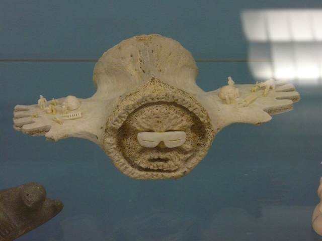
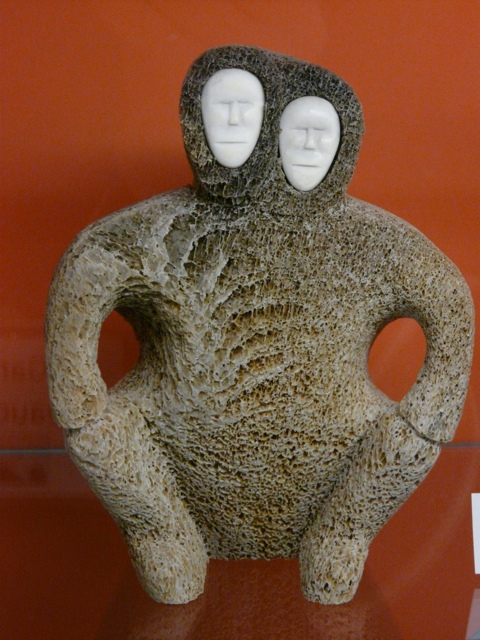
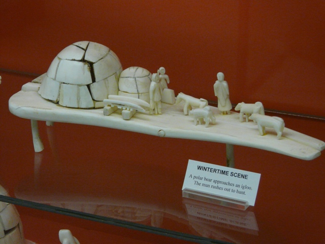
Our tour of Churchill and area took all day, one of the highlights was the liquor store as we had no access to wine or beer until now. We visited a museum with an extensive collection of Inuit artifacts which was remarkable for the diversity and quality of it’s collection.

There is a very large building in town which houses a school (k to 12), a swimming pool, gym, movie theater, indoor playground and bowling alley. Churchill does not experience the youth suicide found in other northern communities perhaps because of the availability of employment and recreational activities.

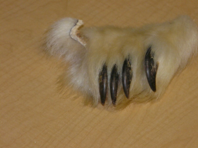
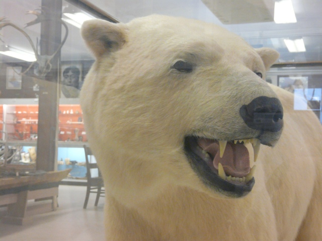
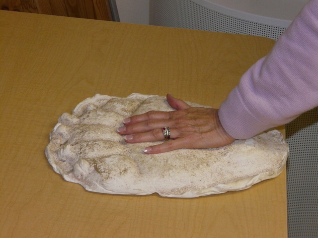
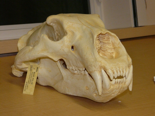
In pictures posted today my hand is on a cast made from a Polar Bear paw print, the skull is a full size replica and the paw is an actual PB paw.
20111015-204409.jpg

20111015-204419.jpg

20111015-204446.jpg

20111015-204456.jpg

20111015-204515.jpg

20111015-204526.jpg

20111015-204555.jpg

20111015-204609.jpg

20111015-204640.jpg

20111015-204725.jpg

Posted in Uncategorized | Leave a comment

Tundra Buggy Ride Friday, Oct. 14
After a night of listening to the wind howl and rain pelt against the windows we awoke to another dark, wet day.
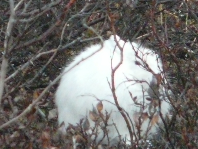
Today spent out on the tundra looking for bears. We saw 2 bears, some ptarmigans and artic hares and snow buntings.
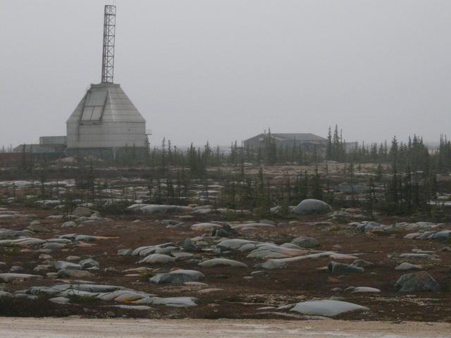
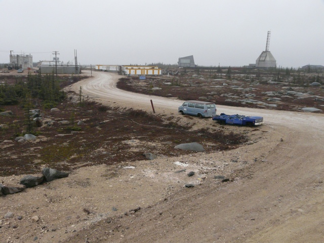
Yesterday’s pictures included a domed building with a spire – that is an old rocket launcher. CNSC is on the site of a former atmospheric reach centre which used rockets to collect information on the atmosphere and aureola borealis.
Last night we had a lecture on the Polar Bears
Things to know about PBs:
Circumpolar – live all around the North Pole
Evolved from brown grizzly bear about 100,000 years ago and have recently been some interbreeding as their territories start to overlap with climate change.
Adult males 770 – 1500 lbs
Females 330 – 500 lbs
Can reach 10 feet when on hind legs
19 subcultures around the world
935 in this area
15,000 in Canada
25,000 est. in world
Legally hunted by local hunters. Each community gets a quota. Typically use half the quota for community members. Other half used for sport hunters who pay the community to hunt the bears. Spot hunters are allowed 3 days to get their bear and must hunt in the traditional manner camping out on and living off the land. They pay $25,000 – $30,000 to the community.
International treaty manages the PB population around the world
Paws have minuscule papilla that grip the ice
Large sharp claws each claw about as long as one of my fingers, used to grab and tear prey
Very powerful jaws used to crush heads of the seals
Primary food is ringed seals hunted on the ice
Adult male will eat avg. Of 50 seals a year
Ringed seal population of 6 to 7 million sufficient to feed bears and the Inuit who hunt them and the caribou
Bears have a long streamlined neck for reaching into berthing hole to grab the seals
Males neck bigger than head, females head bigger, for this reason only females have been tagged – collared as collars come off males
Necks powerful as used to pull a hundred to 200 lb seals out of water.
Ringed seal only one of a few that can keep a breathing hole open all winter, use claws to scrape through 6 feet of ice, they will keep 6 – 7 holes open all winter
Bears need to put on large store of fat to survive months of fasting while ice gone
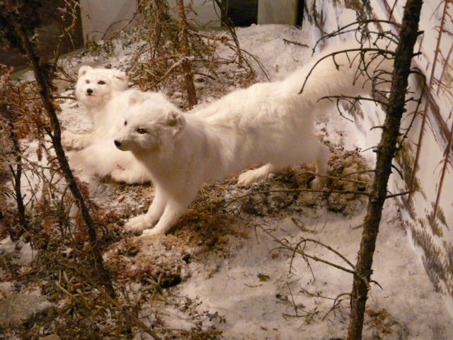
In most cases bear will strip seal of it’s skin and attached fat and leave rest which scavengers will eat. The ravens and arctic foxes follow the bears
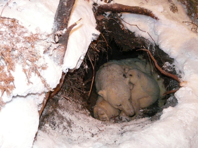
Mothers milk is very rich in fat – cubs one pound at birth and grow to 30 lbs over 2 months when they leave the den
Range 000 s of kms over ice hunting in winter
Run very fast over short distance
Males live 20 – 25 years, females 30; die when teeth start to rot and die of starvation .
Mate in April/May but embyro doesn’t implant until Aug and then only if female has fed successfully and can survive birth and delayed return to ice in winter.
Give birth in December and nurse young in den until about Feb when cubs big enough to make trek out onto ice.
Usually twins
Female dig dens in peat in summer inland and away from males who would eat cubs and might kill female in attack
Time off ice ” walking hibernation” very lethargic
This area has largest gathering of PBs because ice forms first here and leaves area last so also large number come off ice here
Hudson Bay shallow, much of Canadian water drains into bay. Water from over 1.5 square miles covering Quebec, Ontario, Manitoba, Saskatewan and Alberta, therefore less salty than oceans
Come onshore around July when ice usually breaks up

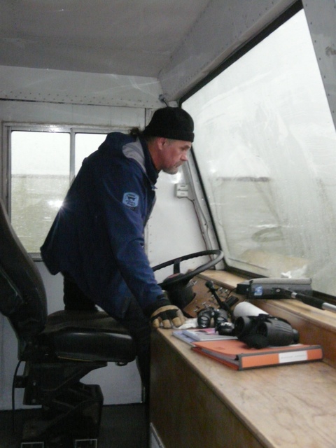
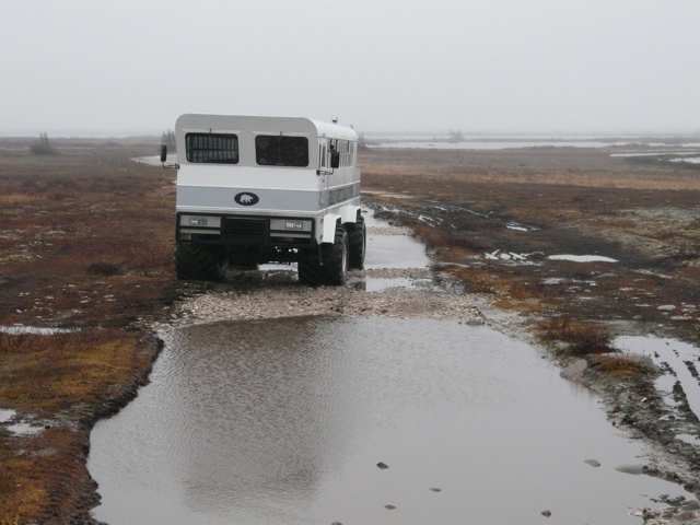
Our tundra buggy follows roads built by the military about 40 years ago during the cold war, no maintenance since then so roads are ” rough” to put it mildly. Can’t go off roads until ground freezes, track would stay in the tundra for years.

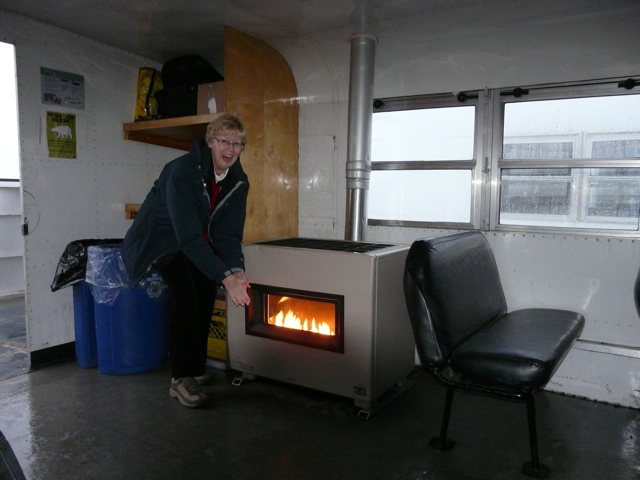
Heat on the tundra buggy is provided by a fireplace! See picture.

We pass by barren land covered with gravel, rocks, ponds, stunted tree islands. Permafrost varies in depth, in this open area likely 6 feet down, in more protected area closer to surface. Will go down a long way even miles.

Ice on the ponds and on the bay usually gets to a depth of six feet.

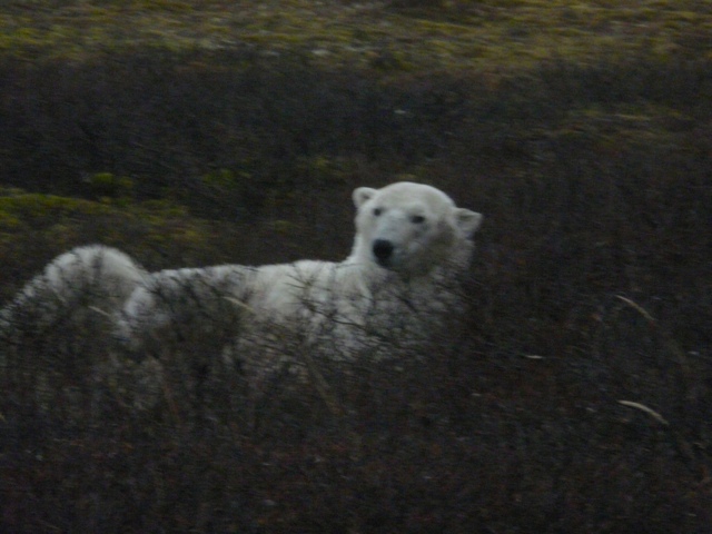
See a very large polar bear in the distance across a pond and a smaller one beside the buggy – male about 6 or 7 tears.

20111014-185225.jpg

20111014-185246.jpg

20111014-185307.jpg

20111014-185335.jpg

20111014-185408.jpg

20111014-185436.jpg

20111014-185452.jpg

20111014-185522.jpg

20111014-185557.jpg

20111014-185620.jpg

20111014-185656.jpg

20111014-185715.jpg

20111014-185734.jpg

20111014-185754.jpg

20111014-185824.jpg

20111014-185841.jpg

Posted in Uncategorized | Leave a comment

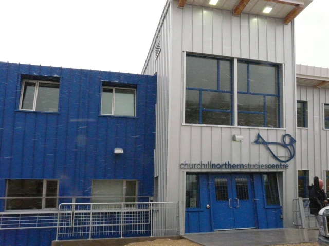
Churchill Centre for Northern Studies

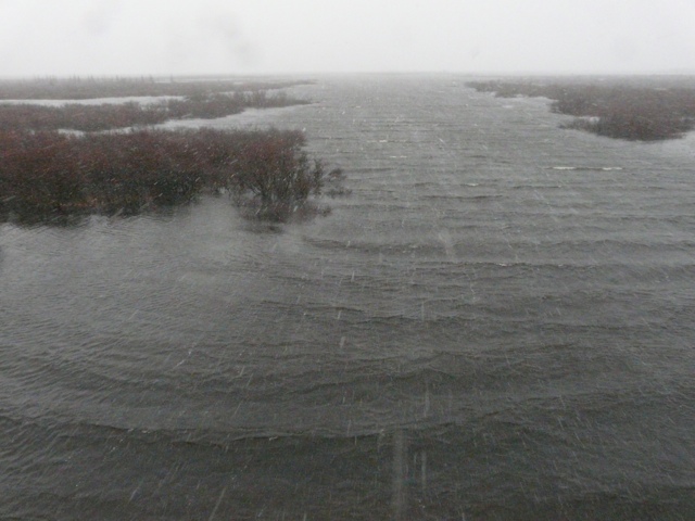
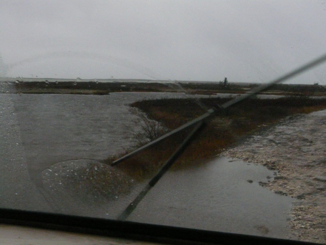
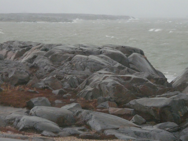
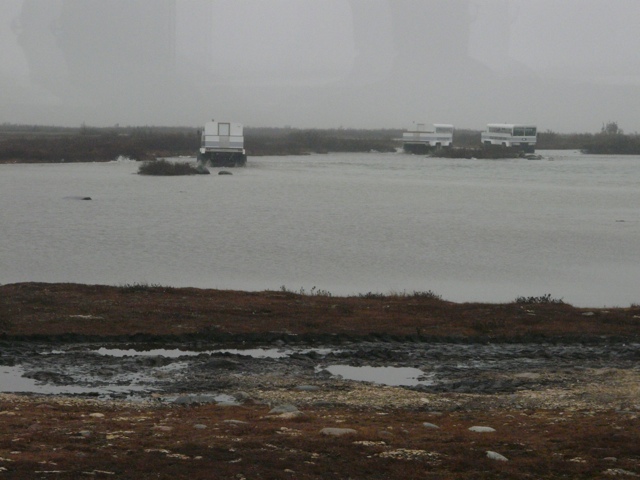
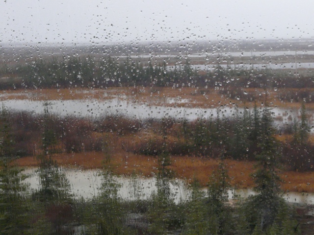
We arrived here Thursday morning to a dull rainy day. The half hour drive to the centre took us close to Hudson Bay, passing by lots of granite rock formations, stunted trees in “tree islands”

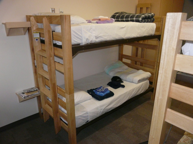
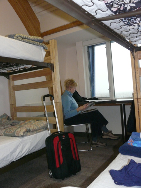
The country side is barren and bleak and the accommodations are somewhat better. Luckily we have a room to ourselves – normally it is dorms with 4 to a room ( boys and girls in different rooms).

Meals are also basic, cafeteria style with guests, serving themselves, cleaning their own plates and helping with general clean up after meals. Plus we prepare our own bag lunch for the next day.

Tonight we have a lecture on the Polar Bears and tomorrow we are off hunting bears!

20111013-192618.jpg

20111013-192209.jpg

20111013-192144.jpg

20111013-192130.jpg

20111013-192111.jpg

20111013-192103.jpg

Posted in Uncategorized | Leave a comment