Arctic August 26 – Grise Fjord

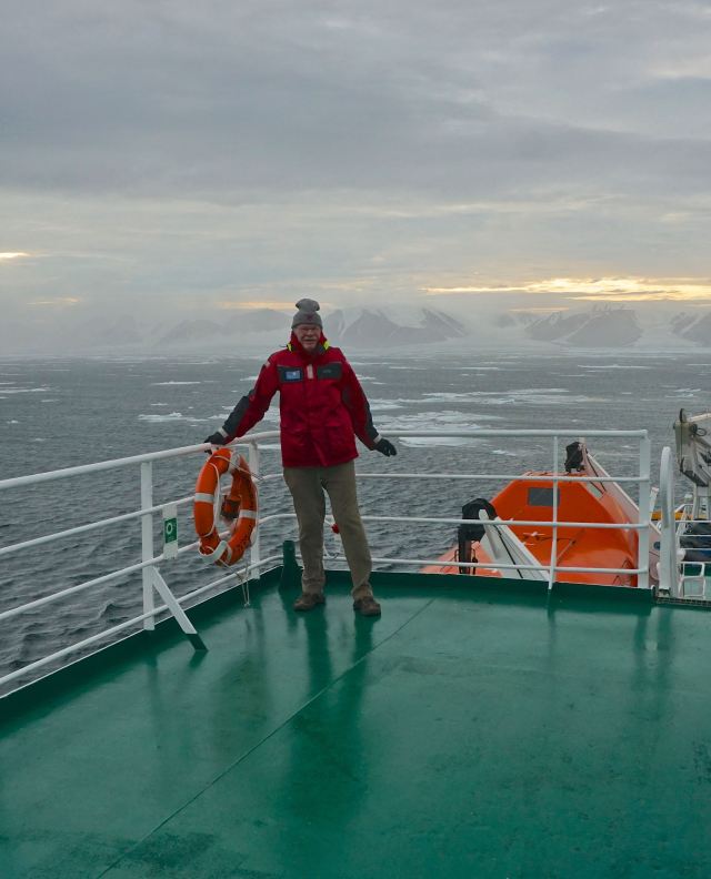
DSC00152 - Version 2

Gary on the back observation deck
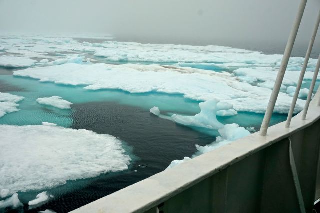
DSC00164 - Version 2

The sea ice we were trying to navigate
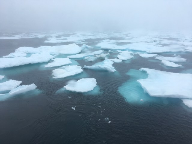
IMG_4221

More Ice

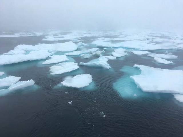
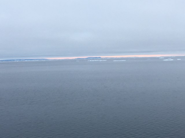
Woke up this morning to find we are inching our way through a field of ice. Coverage is about 30%. Some ice is thick enough the captain has to steer around it, other he runs through or moves aside with the trusters. Occasionally a bump as we moved through some ice surrounded by fog. All we can see is ice, water and fog as we ghost towards Grise Fjord.

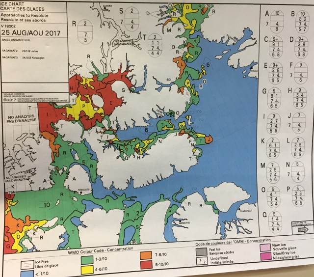
Each night at 5:00 pm The ship gets the ice report. It is a satellite reading that shows where the ice is, how dense e.g.  70% coverage and the thickness.  We were set to get into Grise Fjord at about 1:30 pm. At noon the captain made the decision to turn around due to the high winds blowing more ice into our path. We were told we would hang around this area to see if the ice would clear and when the report is received tonight decide on the next step.
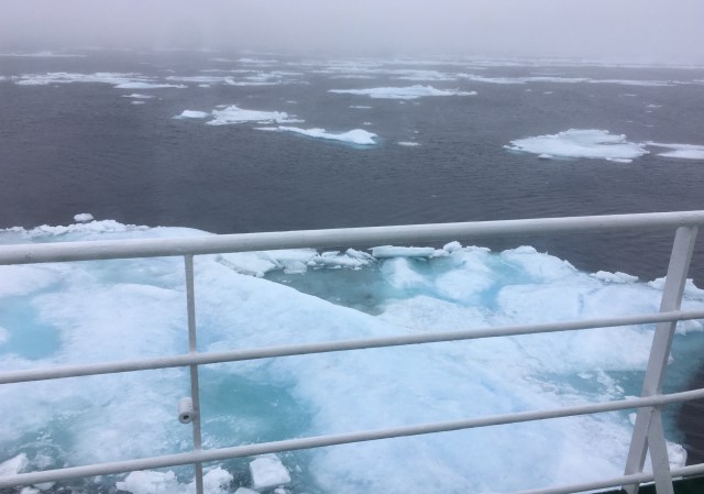
IMG_4209

This is basically the view we had most of the day
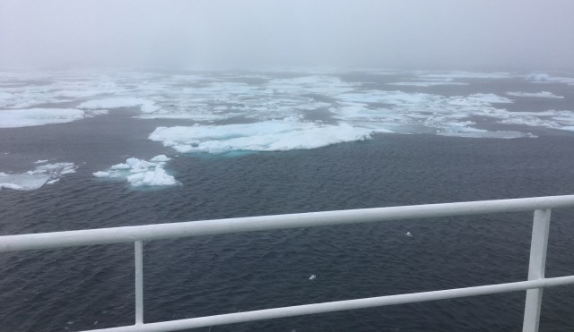
IMG_4218

More ice

IMG_4221

Yes, more ice – it was cold going out of the bar to take these pictures!!

A big disappointment for us on board and I expect for the people of Grise Fjord.
We had 2 lectures this morning one on the history of the Alexandra Fjord given by a researcher who does research on Ellesmere Island and one on the involvement of the RCMP in the north given by a former RCMP officer.
The things that struck me most were:
– the geographical centre of Canada is in the Arctic, (near Baker Lake) we are an Arctic country
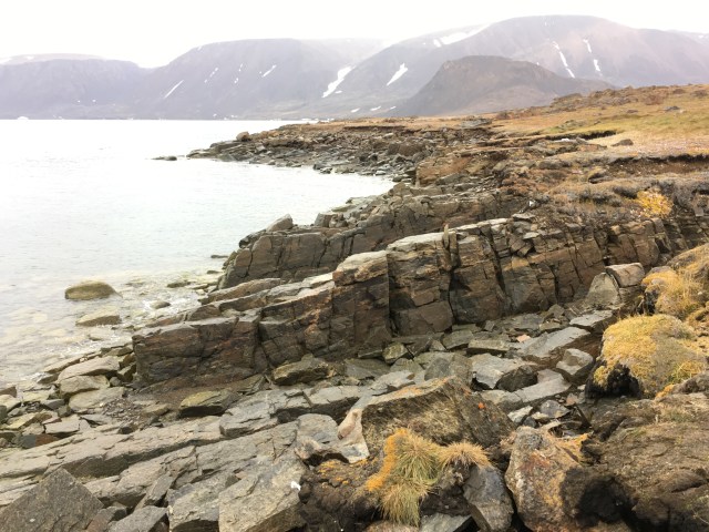
– the end of the Canadian Shield is in Alexandra Fjord and the pictures of where it terminates has amazing colours – I have all the slides from the presentation but am not able to download them to the blog. (if you want to see them I can show you on my computer – it will only cost a little “bubbly”)
– the furtherest north Canadian installation is at Eureka which on the northern coast of Ellesmere Island, it is a weather station, a military base and part of an early warning system (not the DEW line).
– in 1954 the Canadian Government relocated Inuit from Quebec to Resolute, Grise Fjord and Alexandra Fjord. They were promised that if they didn’t like it they could return in a year. Because ice breakers could not get into Alexandra Fjord that settlement was abandoned and the people all were split between Resolute and Grise Fjord. A year later when they wanted to return home, their request was denied.
– there is a plaque on the Bache Peninsula to A.Y. Jackson who was there on assignment for the Cdn government to document the area in paintings
– in the race to the North Pole several explorers tried an overland route using dog sleds and to feed their dogs they slaughter the muskox, which were also hunted for skins to exporting to USA and Scotland. 500 – 600 skins were being sent offshore each season. In 1903 an RCMP officer implemented a prohibition on the export of Muskox skins. This meant the Inuit could still hunt them.
– a number of Norwegian explorers were in the area and tried to claim much of Ellesmere Island for Norway, they were followed by Canadians who removed evidence of the Norwegians and planted the Canadian flag and started a number of research projects.
– to claim sovereignty Canada established a number of RCMP outposts, set up post offices, established a number of Inuit settlements and established some research projects.
– the research projects are focused on predicting the impact of climate change with some experiments, a deglaciation study, testing northern crops and studying the impact of species moving north (eg parasites that used to be unknown here).
– Muktuk is not whale blubber but the skin of Muskox or whales (Narwhale or Beluga) that you chew.
– A Norwegian (Sverdrup) mapped and claimed 275,000 sq. kms. that the Cdn government bought from him in 1902.
– in 1910 there was a dispute about sovereignty with Norway, the Norwegians claimed the area in dispute is “No Man’s Land” and open to anyone.
– starting in 1922 the RCMP established a series of outposts as part of the process to prove sovereignty, the relocation was ordered under the belief of “use it or lose it”
– as part of his talk Ken (RCMP) pointed out that China has also been poking around in the Arctic – they have 2 icebreakers, they own the “pilot book” for the Arctic and the Crystal Serenity which crossed the NW passage last year is owned by Chinese Mainlanders.
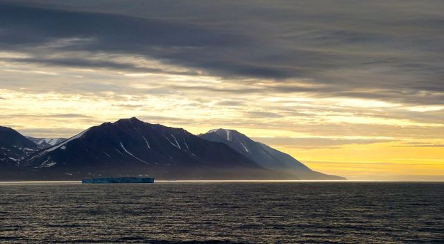
DSC00038 - Version 2

One of Gary’s Sunset Pictures (not this day)
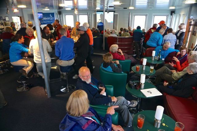
DSC00178 - Version 2

The Lounge where we all gathered
Posted in Uncategorized | 1 Comment

Arctic August 25 – Dundas Harbour

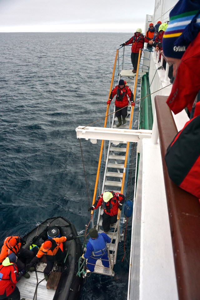
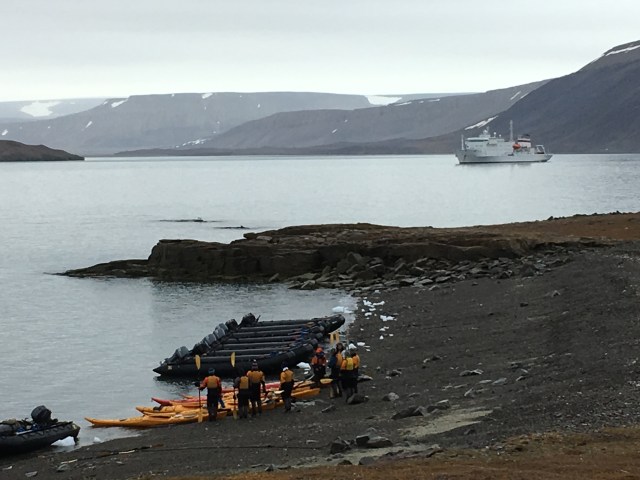
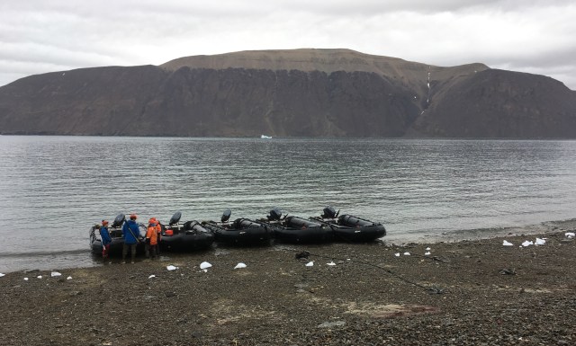
Today we woke up in Dundas Harbour on Devon Island. We had our first shore excursion. The first challenge was to get safely from the ship to the Zodiac. This means climbing down a steep set of stairs off of a bouncy ship onto an even bouncier zodiac. One of the Russian crew was at the bottom of the stairs and a guide on the zodiac to facilitate maneuvering onto the zodiac.

DSC00185 - Version 2

Getting onto the zodiac

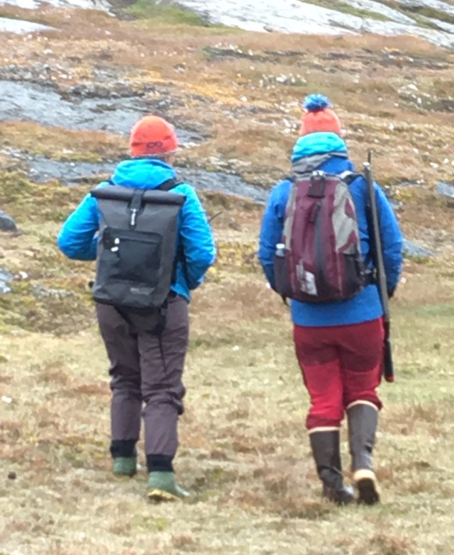
There were 3 groups – charging, moderate and strolling. The charging group did a 6 km hike over a hill, the moderate group did a 5 km walk with rolling hills and the strolling group stayed close to the shore and looked for birds, examined flowers and strolled through the remains of an ancient Thule village.
Gary was going to go with the moderate walkers but was too hot and decided to stay with me and the other strollers. We saw some harp seals feeding, a lot of lichens, moss, Thule house remains, whale bones and a couple of red throated loons that landed on a pond in front of us. The advance scouts were there to welcome us when we arrived at the beach. They are all armed and a couple of them stayed with each group.

IMG_4158
We had a bird expert, a botanist and a polar historian strolling with us. While our group did not go to the other side of the hills the 2 walking groups went to visit a former RCMP outpost. It was originally built around 1920 and was manned at various times until it was abandoned in 1951. The purpose was to establish a Canadian presence in the north.
While we did not see any Muskox we did see lots of evidence that they had recently been in the area we trekked. We were also told that some Inuit had killed a muskox there a couple of days ago.

IMG_4197

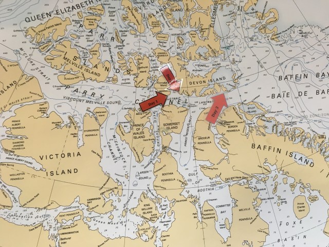
Day 3 is Dundas Harbour

IMG_4189

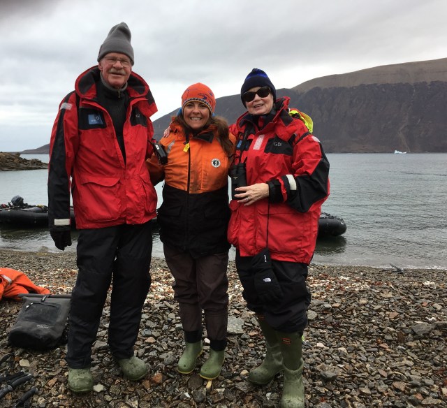
Gary, Beckie & Pat

IMG_4175

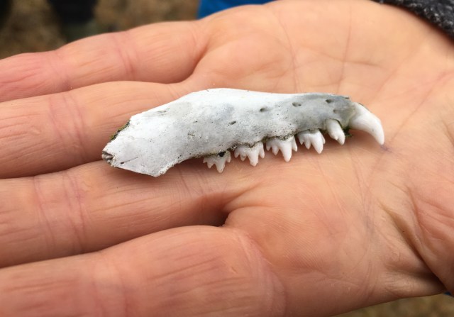
Baby Seal tooth

IMG_4150

The coast line – formed by the ice

IMG_4136

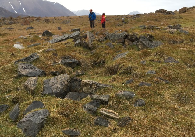
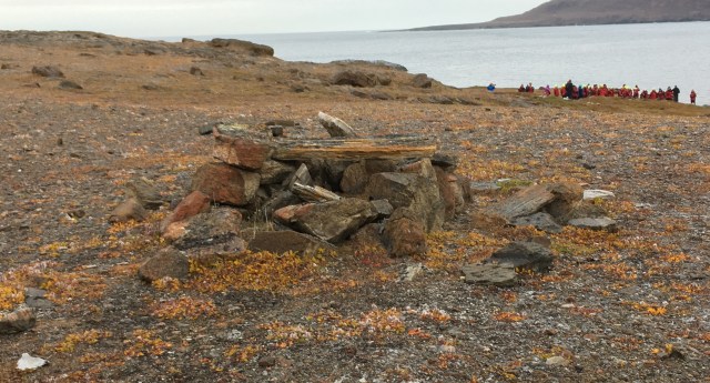
A Thule house built in same shape as an igloo – you can see the tunnel into the house

IMG_4127

Thule house

The Thule houses were semi-subterranean and were constructed of stone on the bottom, then topped with whale bones in an arc to hold some kind of covering – skins of muskox, seals and polar bears.  Thule lived in small communities, had sophisticated tools and hunting techniques. They hunted Bow-Head Whales which have huge bones, good for constructing their houses. The Inuit are direct descendants of the Thule. The Thule migrated east instead of south, likely following the animals.


IMG_4121

Kayakers

IMG_4115

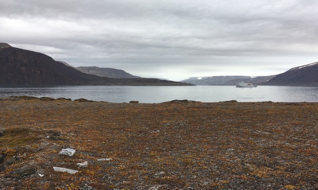
The Fjord

IMG_4099IMG_4090


Dundas Harbour is really a fjord, sheer rock raising out of the water on both sides, water, snow and ice has etched deep crevices into the rock over the centuries.

Our weather is overcast and cold. Luckily no wind in the fjord so we were not too cold even with the standing around. A couple of large glaciers in “glacier alley” watch over us as we walk around the beach.

You can see why the Europeans saw this as a land of emptiness and ice. Most of the Arctic is actually desert and has very little precipitation. The land looks barren but a close inspection showed lots of moss, small flowers and mosses, lichens, mushrooms.

IMG_4080

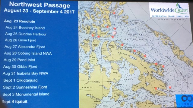
Our planned itinerary

We learned to read an ice map. There is a lot of information on this chart. Where we are headed the green areas mean there is 20% ice coverage and the areas where there is ice is an ice density of 50%, yellow means 50% coverage with a density of 70%, red means 90% ice coverage with a density of 90%.

Ice coverage is the % of the area that has ice and density means how dense the ice is where there is ice.

While our ship is a Class IA ice ship it is not an icebreaker. We could go into some green areas as long as the ice is not too thick (i.e. not over 2 meters in thickness) and there is enough room to maneuver within the ice pack.

IMG_4220

The Inuit have 2 words for snow and 18 words for fear!

Posted in Uncategorized | 1 Comment

Arctic August 22, 23 & 24

I know you all are waiting in eager anticipation for these blogs of our trip. I am writing this on September 17. We have been home since Sept. 6, but both of us have been ill for the past week and half. Gary is still not well. I plan to golf tomorrow.

I did do my blogs on the trip but was unable to load pictures or post because we had no internet access. I will add the pictures and post them as I get them completed.

Here is the first one:

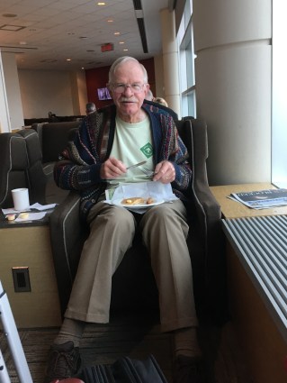
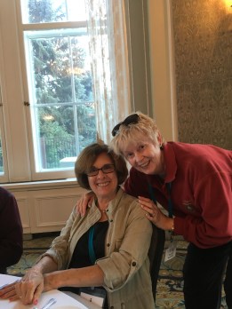
Gary had a breakfast in the lounge before we took off.


IMG_3982

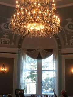
Flight to Edmonton was uneventful. Went straight to hotel Fairmont MacDonald. Met Jane Baggetta and her sister Marianne in lobby. Lovely dinner & orientation talk in a beautiful room. I was convinced this was going to be the style I am accustomed to – a big

IMG_3985IMG_3989

surprise waiting!

On 23rd flew to Resolute Bay airport for transfer to ship. In line for plane met MBA classmate from 1972 and the Chudleighs. Small world! Early morning and breakfast was handed out in bags as we left hotel.
We had one stop in Yellow Knife after flying over Great Slave Lake. as it was just a refuelling stop we did not get off ship.


IMG_3990

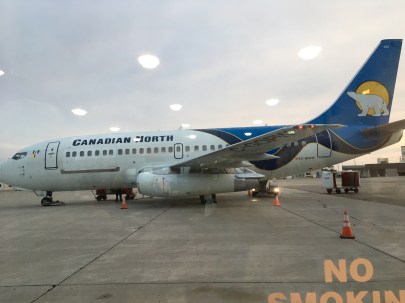
Our charter flight for the trip to Resolute

Yellow Knife and the surrounding countryside

Our first look at the Arctic waters and the Resolute airport

The terminal in Resolute

Flew over land with many small lakes, over Bathurst Inlet and Jameson Islands before reaching the gravel landing strip at Resolute. We never saw the town but went directly from airport to our ship.

Exploring the terminal and areaimg_40551.jpg

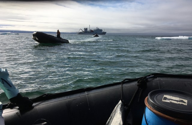
On the zodiac we see our ship for the first time
As we were getting on the zodiacs I met Beckie, a friend of Jennie (wow smaller world!) Most of the staff seem to be from BC – all outdoor enthusiasts. There were some Berger bits in the bay but not a lot of ice to be seen. Sunny, cold and little wind.
That night a champagne reception (so far so good!) and introductions to staff and program on board.


IMG_4057

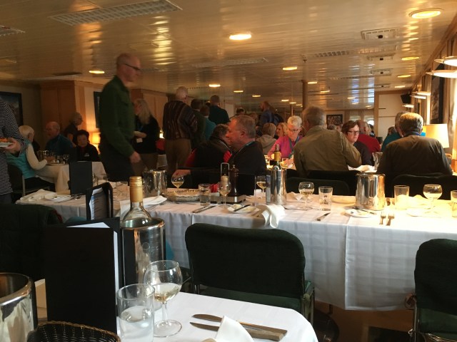
In the dining room (mess hall??) IMG_4060

About 10:00 pm – still light an a beautiful sunset – Note the ice!

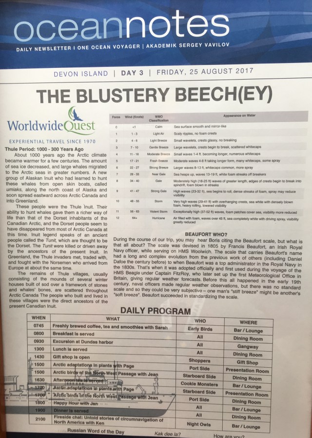
Today we started with some basics to get everyone ready for our shore excursions – how to get on and off zodiacs (much trickier than on the Oceania ships) as there is a very small platform, zodiacs are pretty unstable and harder to climb in and out of. Next how they protect against polar bears – a scouting party goes ashore to the landing area and checks for bears, then secures a perimeter, all are armed with various bear repelling devices and if all else fails – rifles. Apparently if you are in a large enough group bears will never attack (3 or more people). Of course there were a number of instructions about not touching anything and preserving the sites. Next we were fitted for our “outfits” boots, jackets, bib pants.

IMG_4095

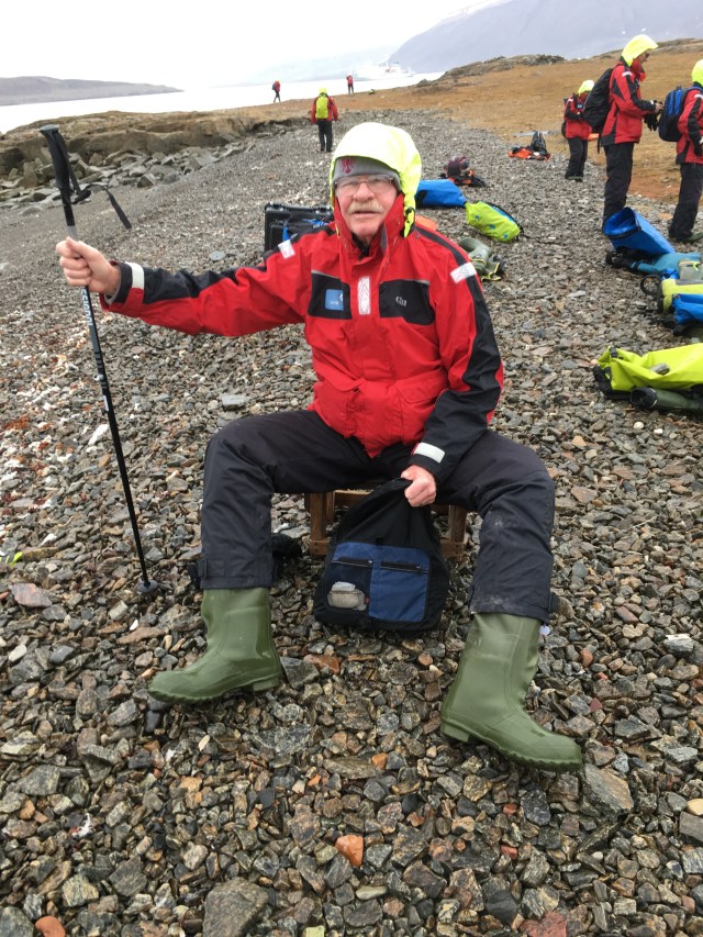
Gary in his Arctic Garb ready to explore

Next was an introductory lecture on the search for Franklin from Katie – a young, very Scottish lass with a PhD in Polar History.
The afternoon was a visit to Beechy Island – one of the last known stops of Franklin and the site of 3 graves of men from the expedition.
The scouting party went over to the island and reported high winds, we stayed in place for a couple of hours to see if the winds would subside. With winds of 30 knots gusting to 40 it was decided they would not risk a landing as too dangerous. The danger is getting into the zodiacs from the ship,and also getting back on. So we had a lesson on how to properly focus and use our binoculars. So far no one has spotted any mammals – lots of birds of many varieties which is keeping the birders happy.
The conditions deteriorated and we lifted anchor to head to the next stop.
We then had a lecture by Mark Nuttall, anthropologist, on the movement of indigenous peoples into and across the Arctic. They all came across the Bering Strait and moved east; some (the Thule) ranging as far as Russia. Mark discussed the Dorset people – small populations of nomadic hunters, the Saqqaq who were in Northern Greenland, Thule peoples who were direct ancestors of the contemporary Inupiat people. The Thule had larger groups with subterranean dwellings, dog sleds, umiaks & kyaks. They also hunted bow-head whales using sophisticated hunting techniques.
Umiaks are larger boats made of driftwood covered with skins used for whale hunting and moving supplies.
The Arctic went through a warming period; then in 1400-1500, as it was getting colder the Thule moved from hunting Bow-heads to hunting on ice – seals & Narwhales. At the same time the Norse arrived hunting Walrus for the ivory.
In the early 1900s the Hudson Bay Co. set up trading posts to collect furs.
1993 – after years of negotiation the Nunavut Land Claims Agreement was signed giving title to 350,000 sq. km. and mineral rights 35,257 sq kms. In 1999 the Territory of Nunavut was expanded to 2.093 sq km. Population was 37,463 at the time.

Posted in Uncategorized | 1 Comment

The High Arctic

We are getting ready for the next adventure – hard to find cold weather gear when the temperature is hot!

We are traveling through part of the North-West passage on an Ice-Class 1A ship. It is not an ice-breaker but can handle ice to a thickness of up to three feet according to wikipedia.

Here is our itinerary for the trip:

Day by Day Itinerary

Tuesday, August 22: Meet in Edmonton / Commence Group Services

Meet at 1830 in the Wedgewood Room located on the first floor of the hotel for a briefing and welcome reception. You will meet the Worldwide Quest staff and our Resource Educators will make introductory presentations on the experiences that await. Dinner will be served at 1900.
Overnight: Fairmont Hotel Macdonald, Edmonton
Meals: Welcome Dinner

Wednesday, August 23: Charter flight to Resolute / Embark Ship
We’ll be provided with a boxed breakfast to take with us to the airport. Our morning flight from Edmonton disembarks at 54∞34’N and takes us well north of the Arctic Circle to 74∞43’N where the hamlet of Resolute, ᖃᐅᓱᐃᑦᑐᖅ, lies. Please note that flight times may be subject to change.

Hotel Departure time will be posted in the Hotel Lobby.

Charter Flight Depart Edmonton: 0800
Arrive Resolute: 1345
(makes stop enroute)
Known as ‘Qausuittuq’ in Inuktitut, this means the “place with no dawn” – a harkening to the seemingly endless winter darkness that calls for celebration when it finally lifts in spring. Stroll through this High Arctic community before taking a Zodiac ride to our ship, the Akademik Sergey Vavilov.

Thursday, August 24: Beechey Island
Beechey Island is so small that it barely registers on Arctic maps. Its place in the canon of Northwest Passage lore, however, is enormous. In the winter of 1845-46, Sir John Franklin and his crew spent their last “comfortable” winter here, despite laying to rest three crewmen whose icy graves are still humbly marked. Almost 60 years later, Norwegian explorer Roald Amundsen stopped here during the first successful transit of the Northwest Passage. We then head southward toward Prince Regent Inlet to marvel at the impressive bird cliffs at Prince Leopold Island – home to several hundred thousand seabirds.
Friday, August 25: Croker Bay / Dundas Harbour, Devon Island
The imposing Devon Ice Cap extends to the sea at Croker Bay where icebergs are regularly calved. Check these floating giants for resting seals and hunting Polar Bears. Land-based wildlife such as Muskoxen and Arctic Hare can sometimes be found at the old RCMP outpost at Dundas Harbour, which was originally established due to concerns over foreign whaling.
Saturday, August 26 – Sunday, August 27: Ellesmere Island / Grise Fiord / Alexandra Fiord
At the northern limit of the Arctic Archipelago lies Ellesmere Island – Canada’s third largest island and the tenth largest in the world. In 1899, Norwegian explorer Otto Sverdrup happened upon a fjord that he dubbed ‘pig fjord’ due to the guttural grunts of its resident Walrus herds. Known now in English as Grise Fjord, this is Canada’s northernmost settlement, with the well-conceived Inuktitut name of ᐊᐅᔪᐃᑦᑐᖅ, meaning “Place that never thaws”. The population of about 100 people is deeply traditional and very welcoming.

Farther north is the flagship research site of the International Tundra Experiment (ITEX) located in a coastal lowland adjacent to Alexandra Fiord (78º53’N, 75º55’W). This is where Dr. Greg Henry’s team operates a seasonal camp to monitor ecosystem responses to observed and experimental climate change and ecosystem development after deglaciation. The area is dotted with Paleo Eskimo, Dorset and Thule archeological sites, some of which date back over 4,000 years.

Monday, August 28: Coburg Island’s Nirjutiqavvik National Wildlife Area
Located 100 kilometres east of Grise Fiord on Coburg Island is the spectacular Nirjutiqavvik National Wildlife Area. This island and its surrounding waters provide vitally important nesting habitat for Thick-billed Murres, Black-legged Kittiwakes, Northern Fulmars and Black Guillemots. Be sure to scan the sea ice for Ringed Seals, Bearded Seals, Polar Bears, Atlantic Walruses, Narwhals and Belugas.

Tuesday, August 29 – Saturday, September 2: The Communities and Fjords of Baffin Island
Canada’s largest island stretches from the wildlife-rich Lancaster Sound to the sub-Arctic region where Nunavut’s capital is nestled deep in Frobisher Bay. Epic not only in its overall size, but also for the stunning fjords on its eastern coast, Baffin Island is truly unforgettable.

At the north end is the picturesque hamlet of Pond Inlet (Mittimatalik), where large pods of Narwhal are often seen. A presentation by Elders and youth at the Natinnak Centre offers a glimpse of Inuit culture, as do the carvings, jewellery and other local crafts that are available to purchase from community artisans. Continuing south, prepare to be overwhelmed with countless photographic opportunities in Gibbs Fjord amidst towering peaks and glaciers. The Bowhead Whale Sanctuary of Isabella Bay offers the potential to see what is perhaps the longest-lived mammal in the world. Watch for Orcas and Polar Bears on route to Sunshine Fjord astride the Arctic Circle.

Sunday, September 3: Monumental Island
A cliff towering from the ocean, Monumental Island is one of the best places to see Polar Bears at close range. Occasionally, large herds of Walrus feed in the surrounding waters. Also keep and eye out for the ghostly white Arctic morph of Gyrfalcon.

Monday, September 4: Iqaluit / End of Group Services / Commence Iqaluit Extension
Our vessel arrives in Iqaluit this morning. After disembarkation, we will be met at the pier by our local guide and transferred to our hotel. This afternoon, we’ll take a guided tour of the city centre including the Unikkaarvik Regional Visitor’s Centre and the Nunatta Sunakkutaangit Museum with a large collection of Inuit and Arctic items. There is time to shop to your hearts content for specialty art and jewelry, traditional clothing and colourful parkas.
Overnight: Frobisher Inn, Iqaluit
Meals: Breakfast (on board), Lunch

Tuesday, September 5: Iqaluit
After breakfast (independent), we’ll be picked up by our guides for a presentation on dog sledding in the Arctic. We’ll visit a kennel and learn more about this still essential method of transportation. Just outside the city, we visit the picturesque Sylvia Grinnell Park. Here we’ll find Thule archaeological sites, a variety of rare plants, several species of wildlife and some 40 species of birds. The river is a great spot to catch arctic char and the falls make a beautiful backdrop for our picnic lunch. Back in town, we’ll visit Nunavut’s Legislative Assembly for architecture that is sure to impress and the Iqaluit Fine Art Gallery.
Overnight: Frobisher Inn, Iqaluit
Meals: Lunch

Wednesday, September 6: Depart Iqaluit / End of Iqaluit Extension
The morning is free to visit the city at your leisure before you are transferred to the airport for your departure flight.

First Air 7F#861 Depart Iqaluit: 1345
Arrive Ottawa: 1650

There are 7 scientists on board with us and will be regular lectures and guided tours on what we are seeing.

I will do my blog each day, however, I will not have internet access for most of the trip and will likely post to the web when we return home.


Posted in Uncategorized | 4 Comments

And Now the end is Near

Our last Port was Tortola. Gary & I did a historical tour while Rena & Dave shopped.

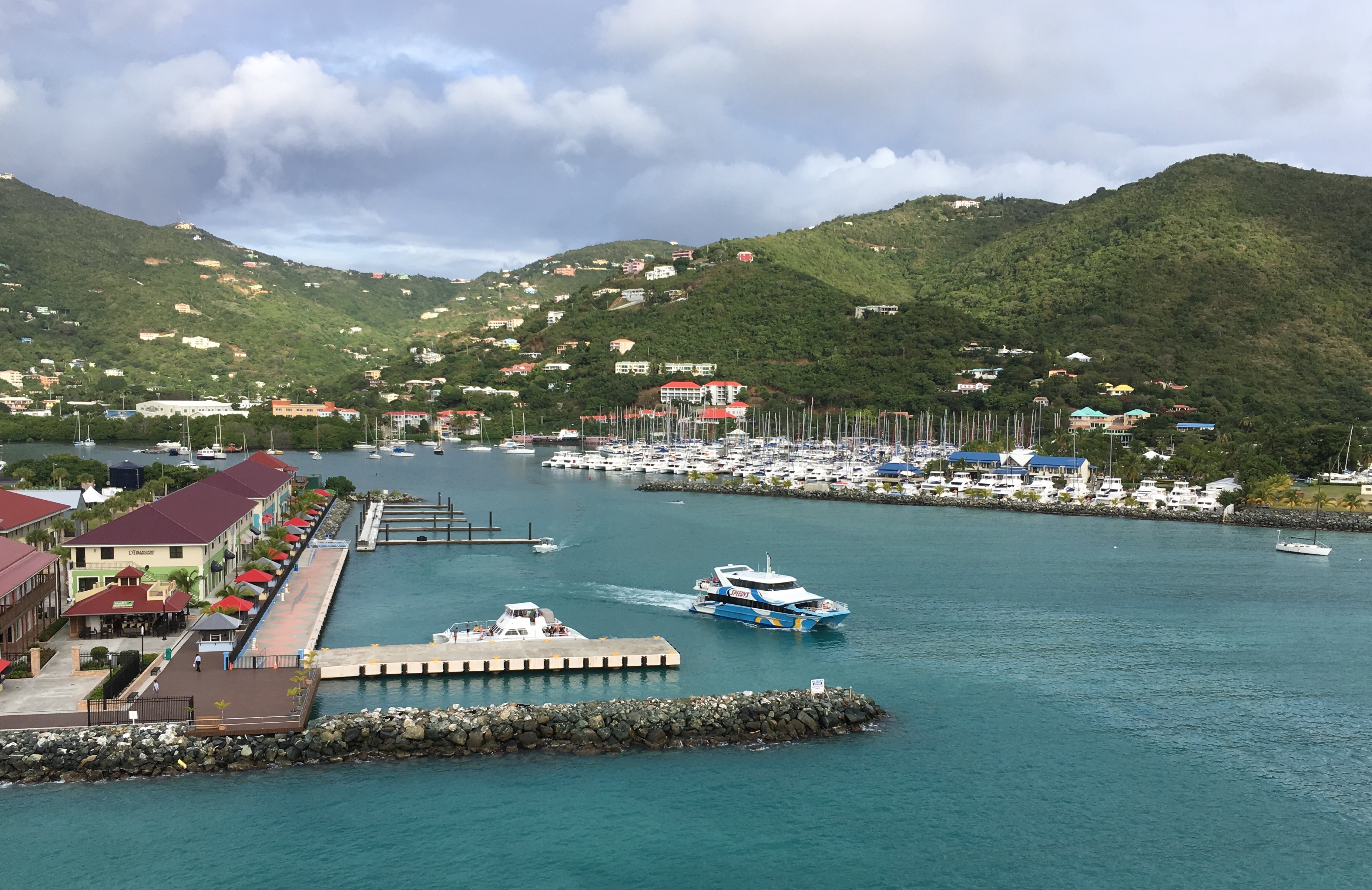
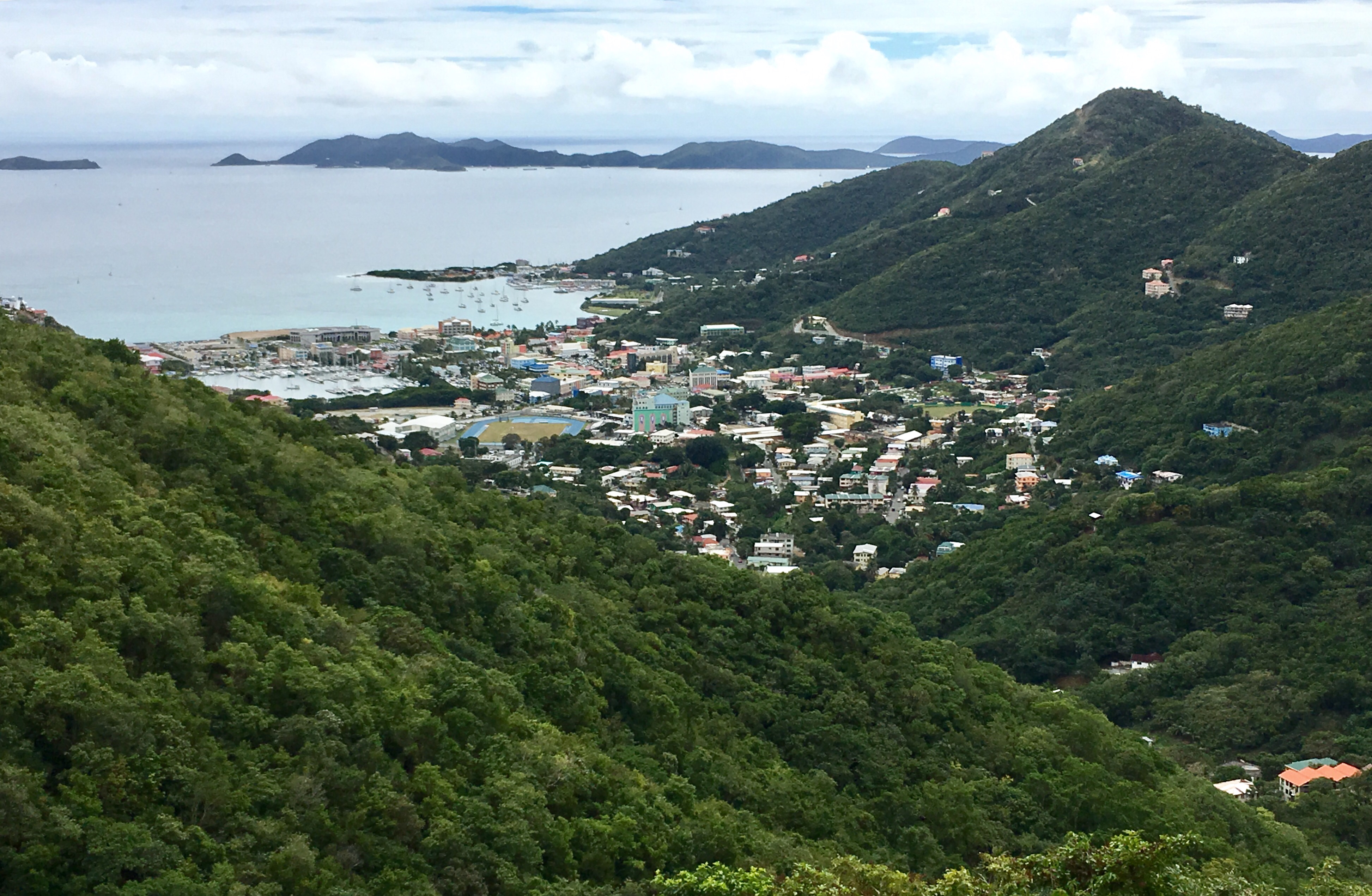
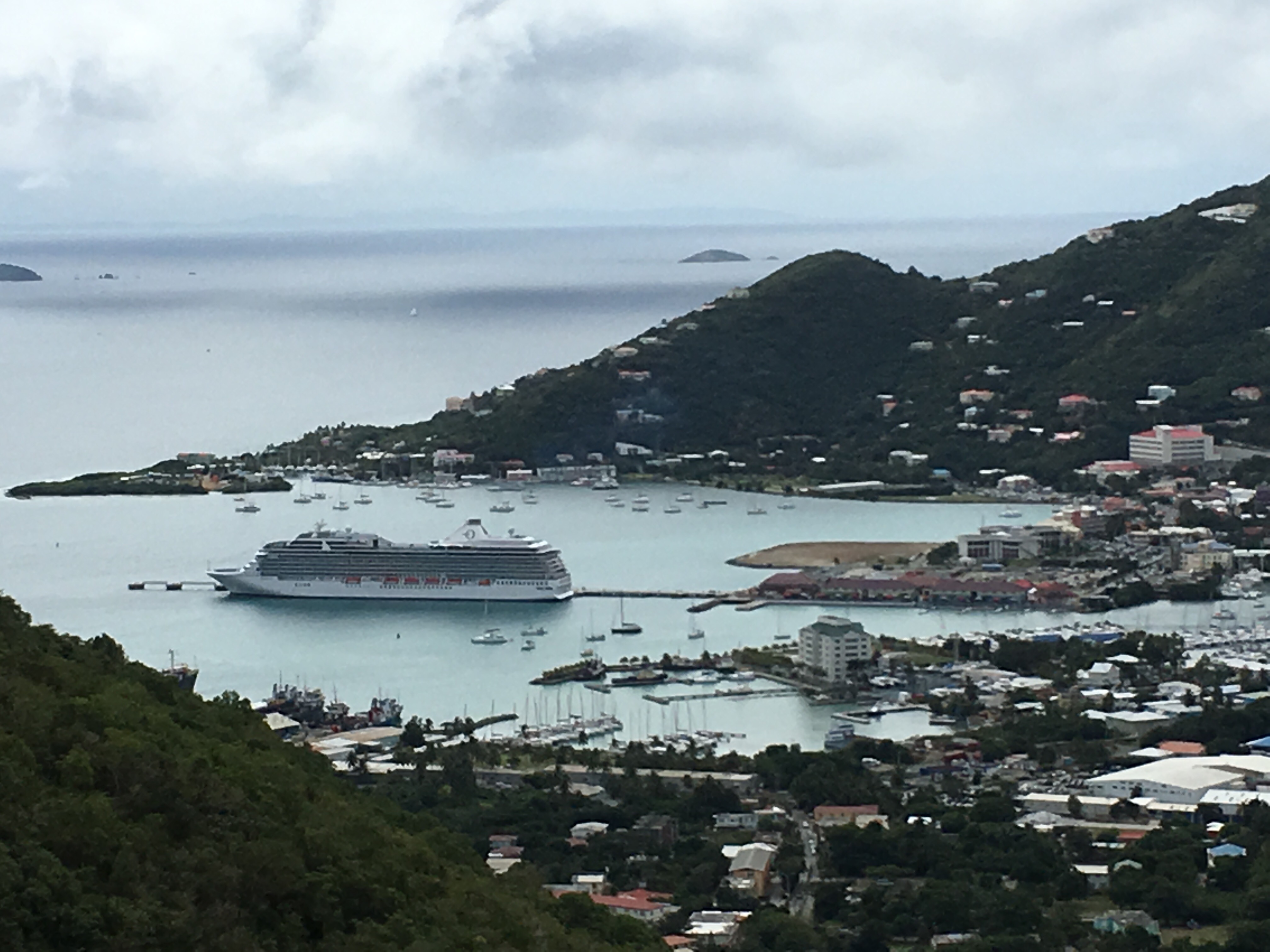
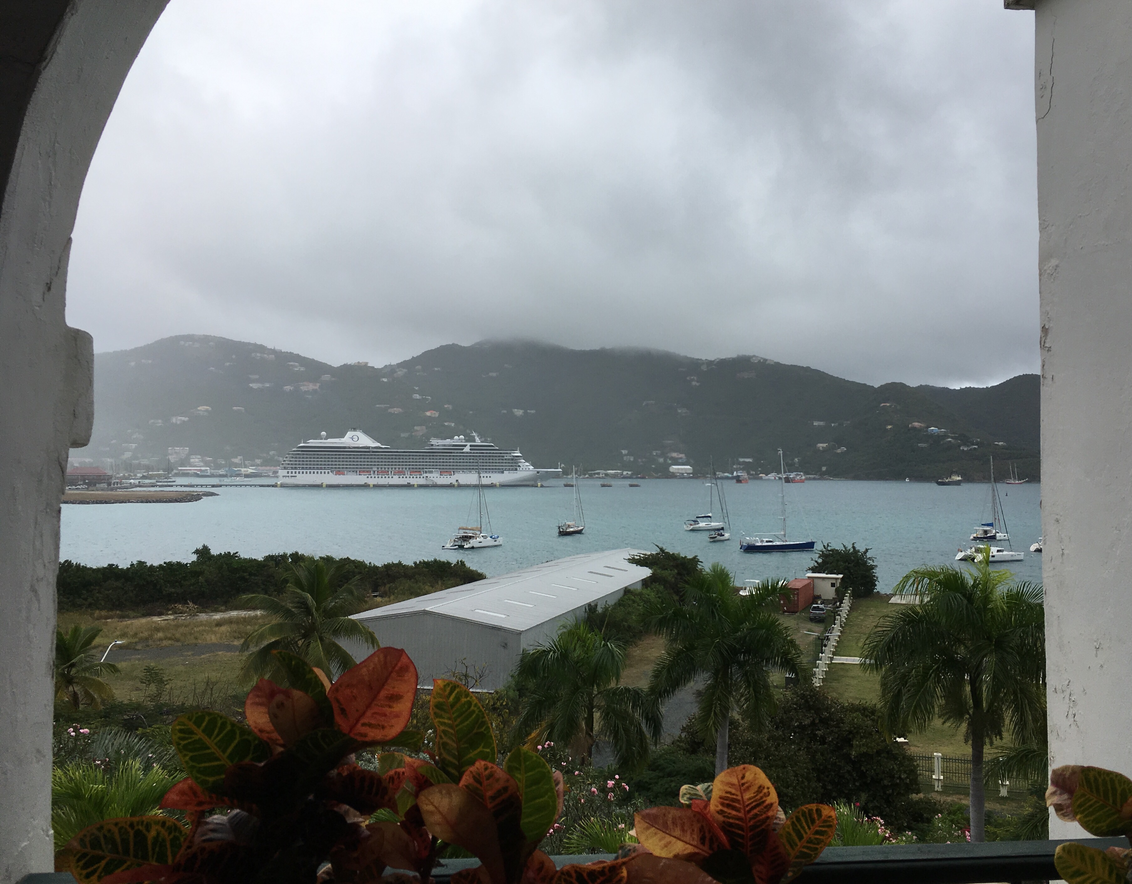
Road Town, capital of the British Virgin Islands is built on reclaimed lands


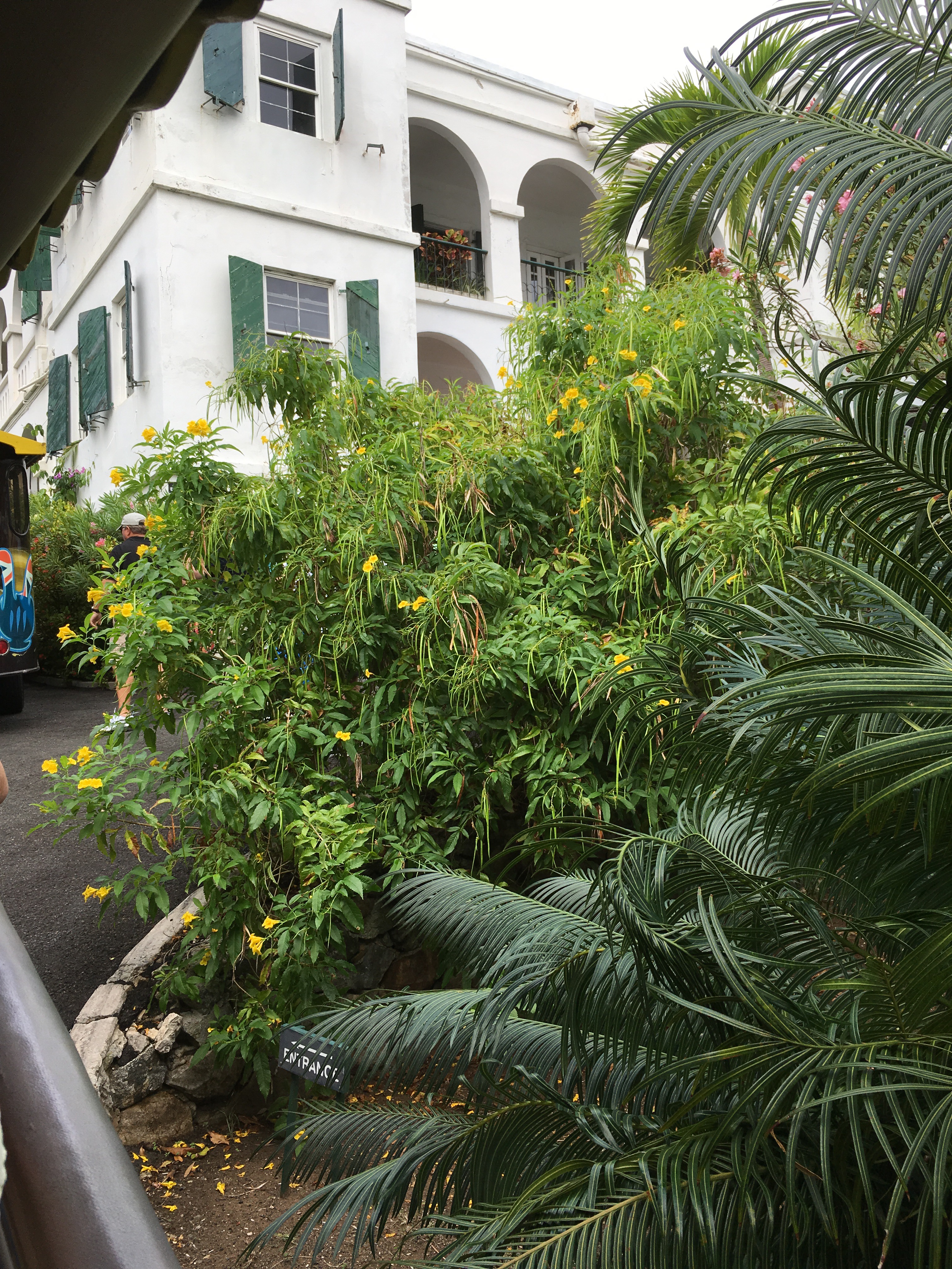
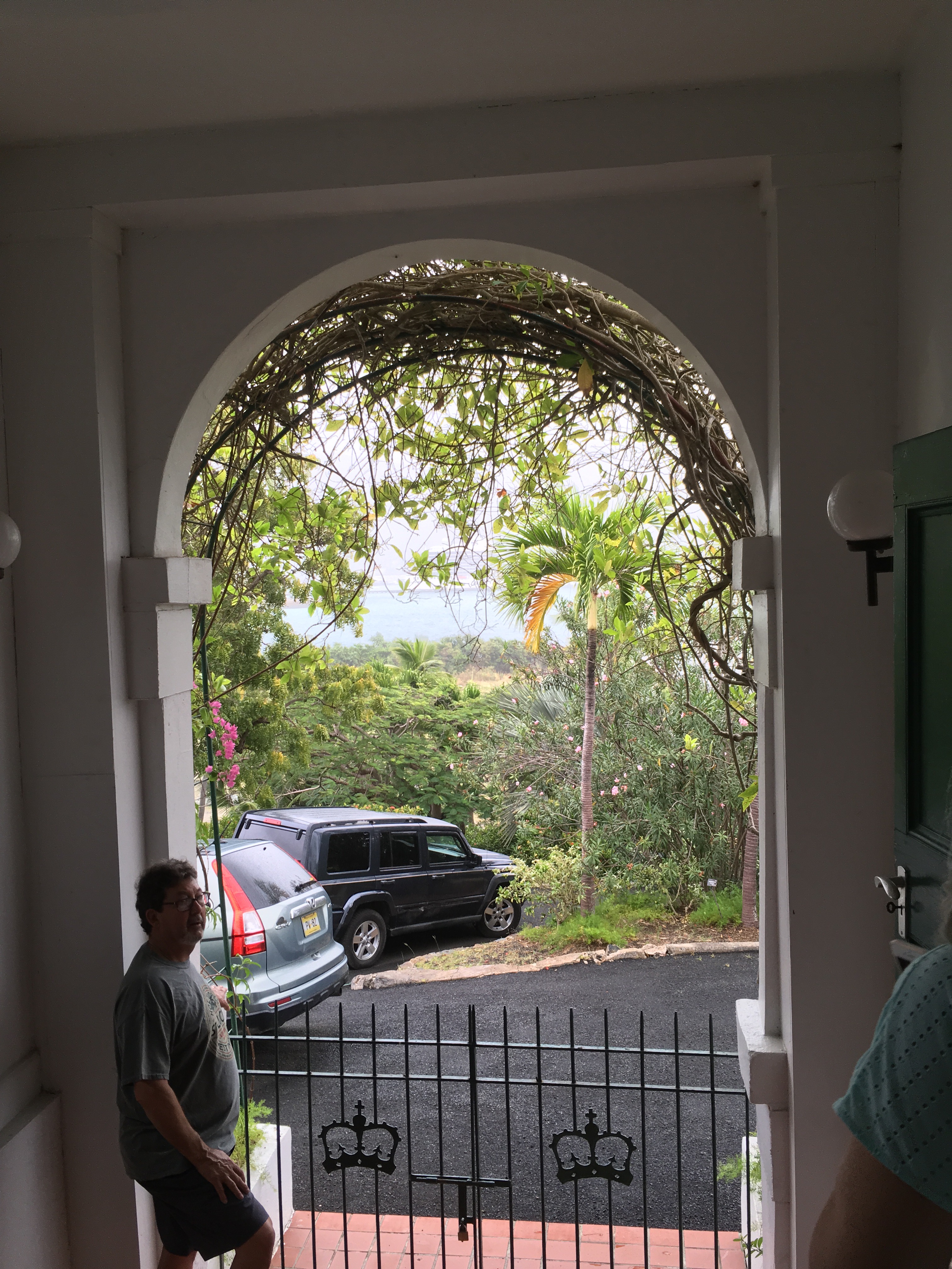
The Govenor’s mansion has been rebuilt 3 times after being destroyed by hurricanes.


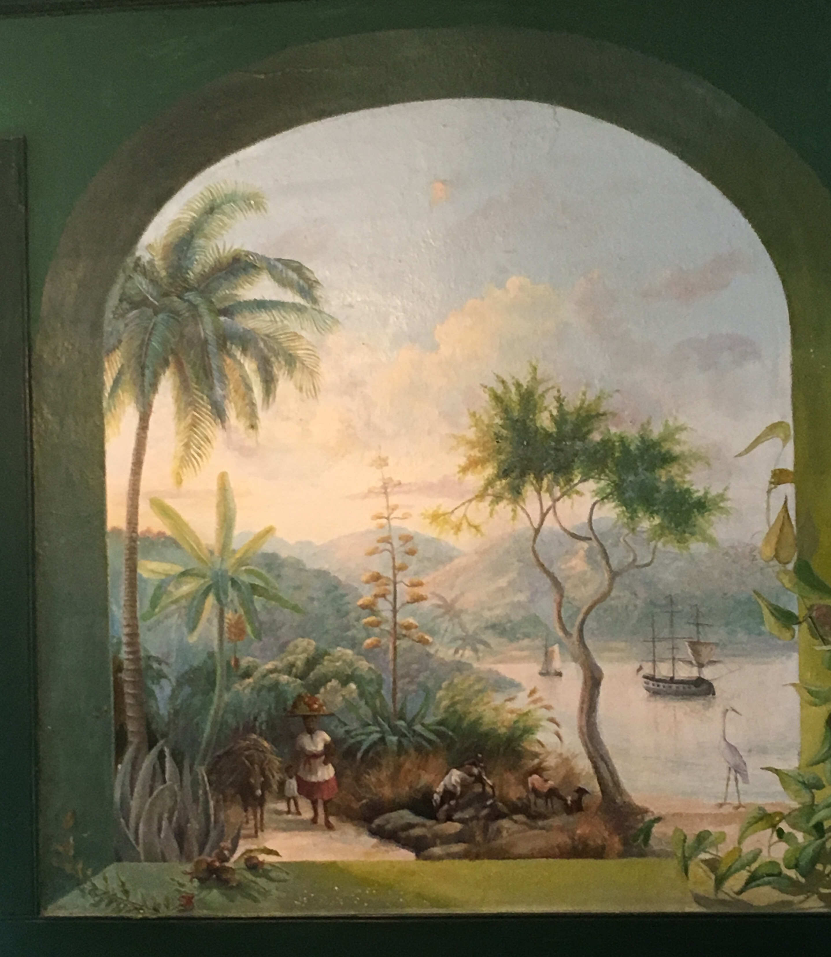
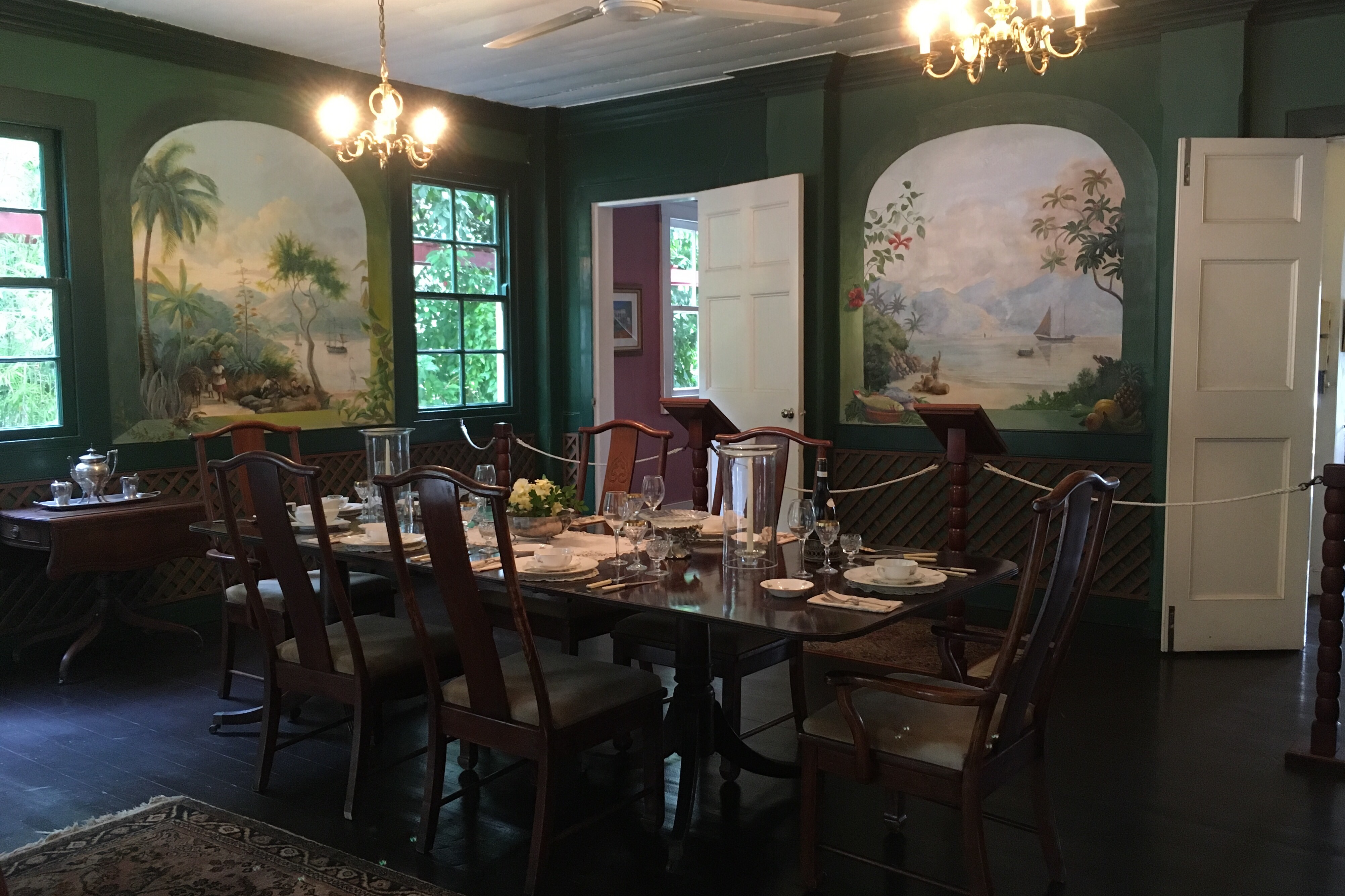
It is preserved mainly because of the murals in the dining room painted by one of the Govenor’s wives.


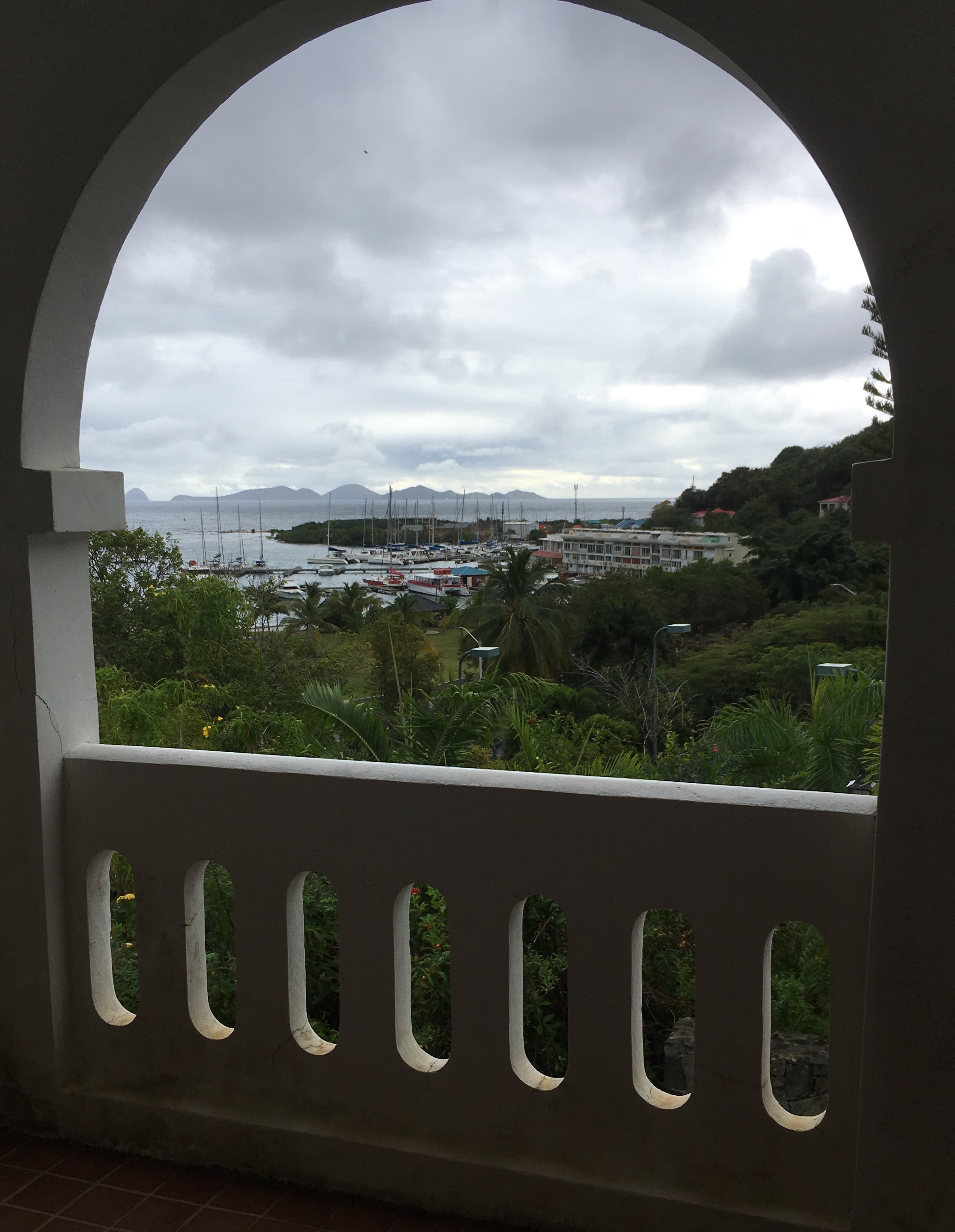
Stunning views from most rooms.


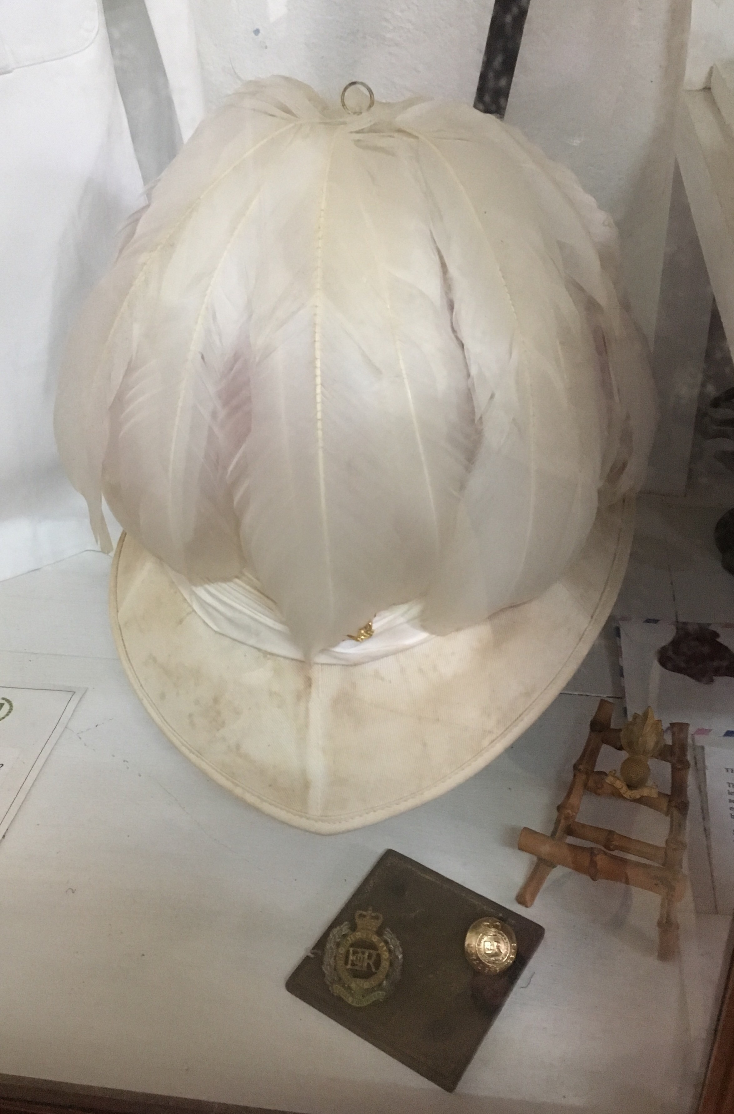
Ceremonial hat made of ostrich feathers worn by the Govenor.

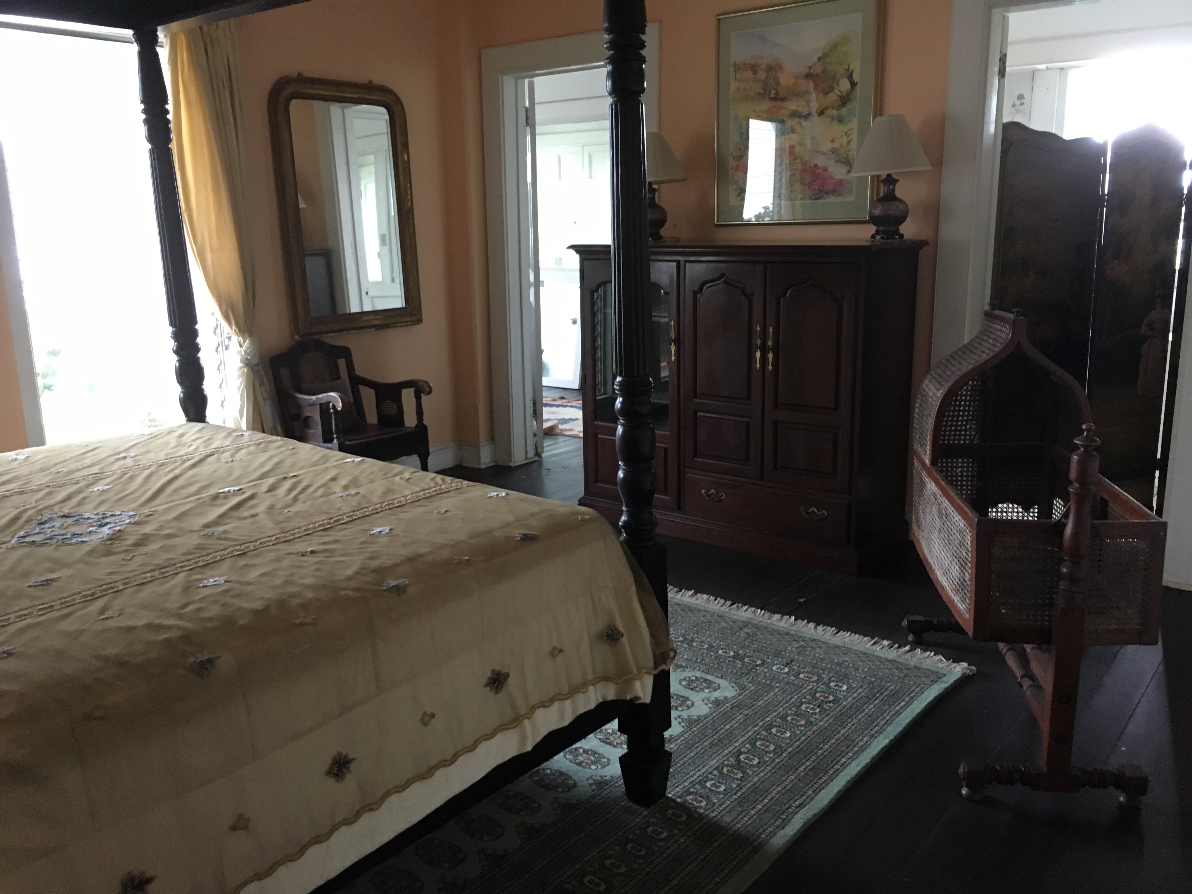
Master bedroom 


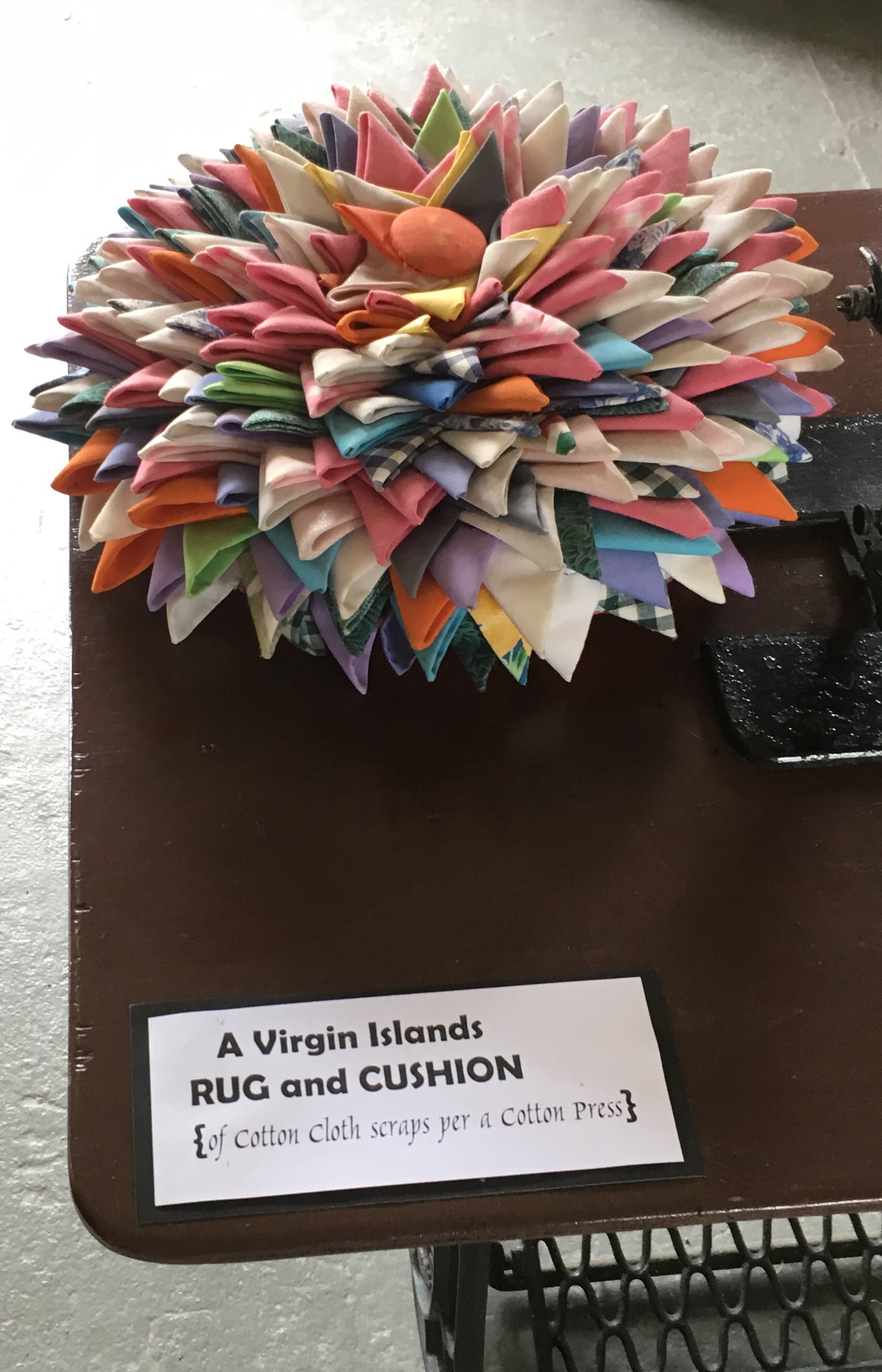
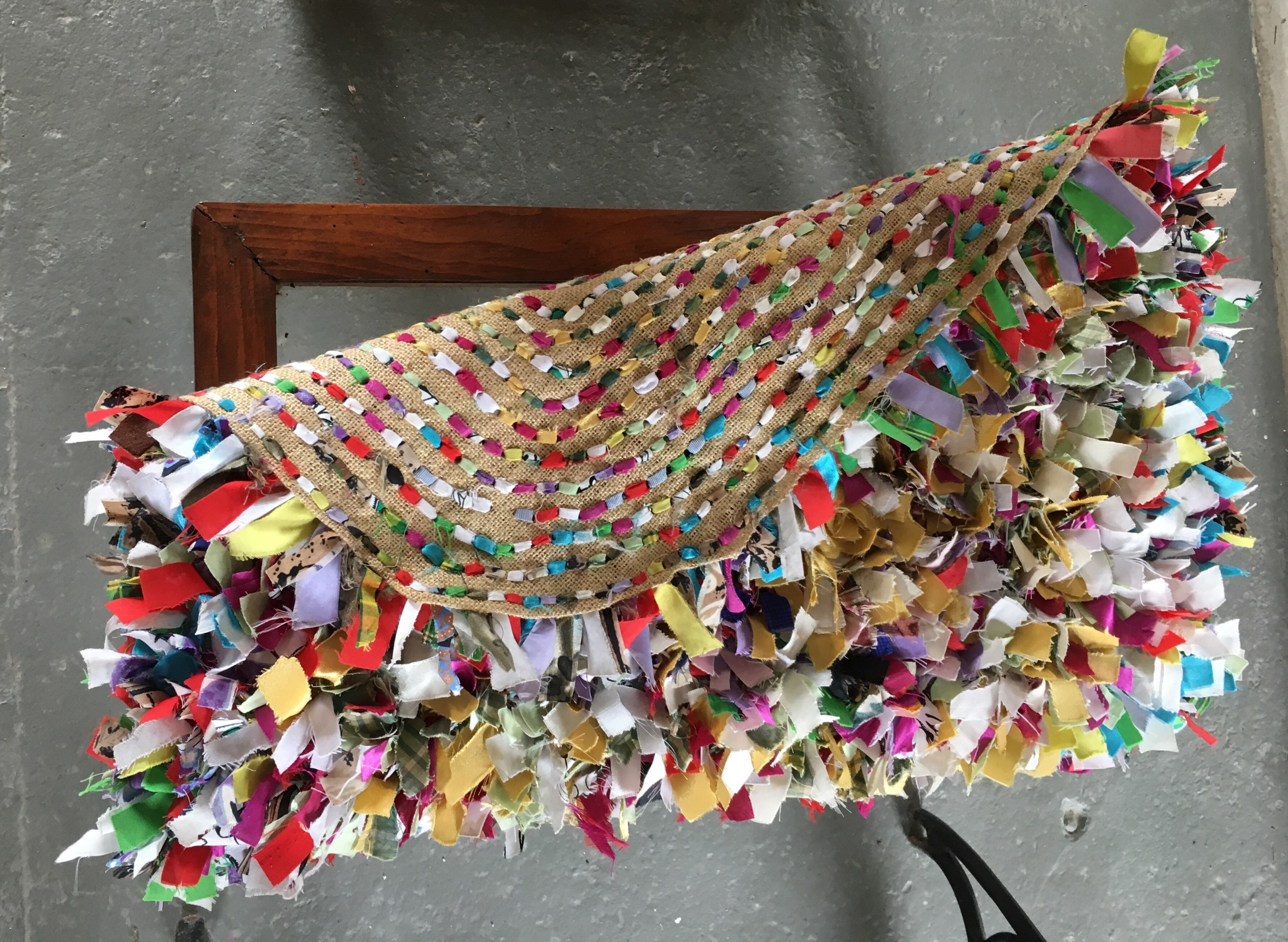
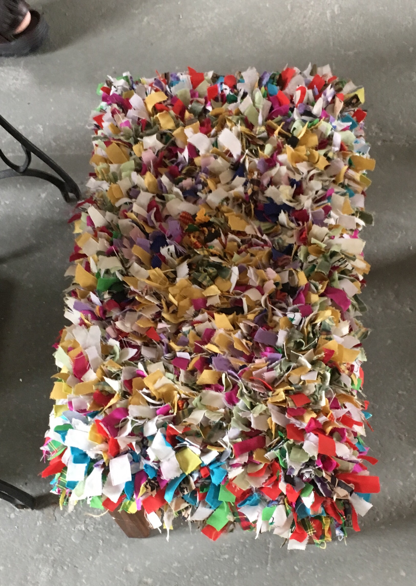
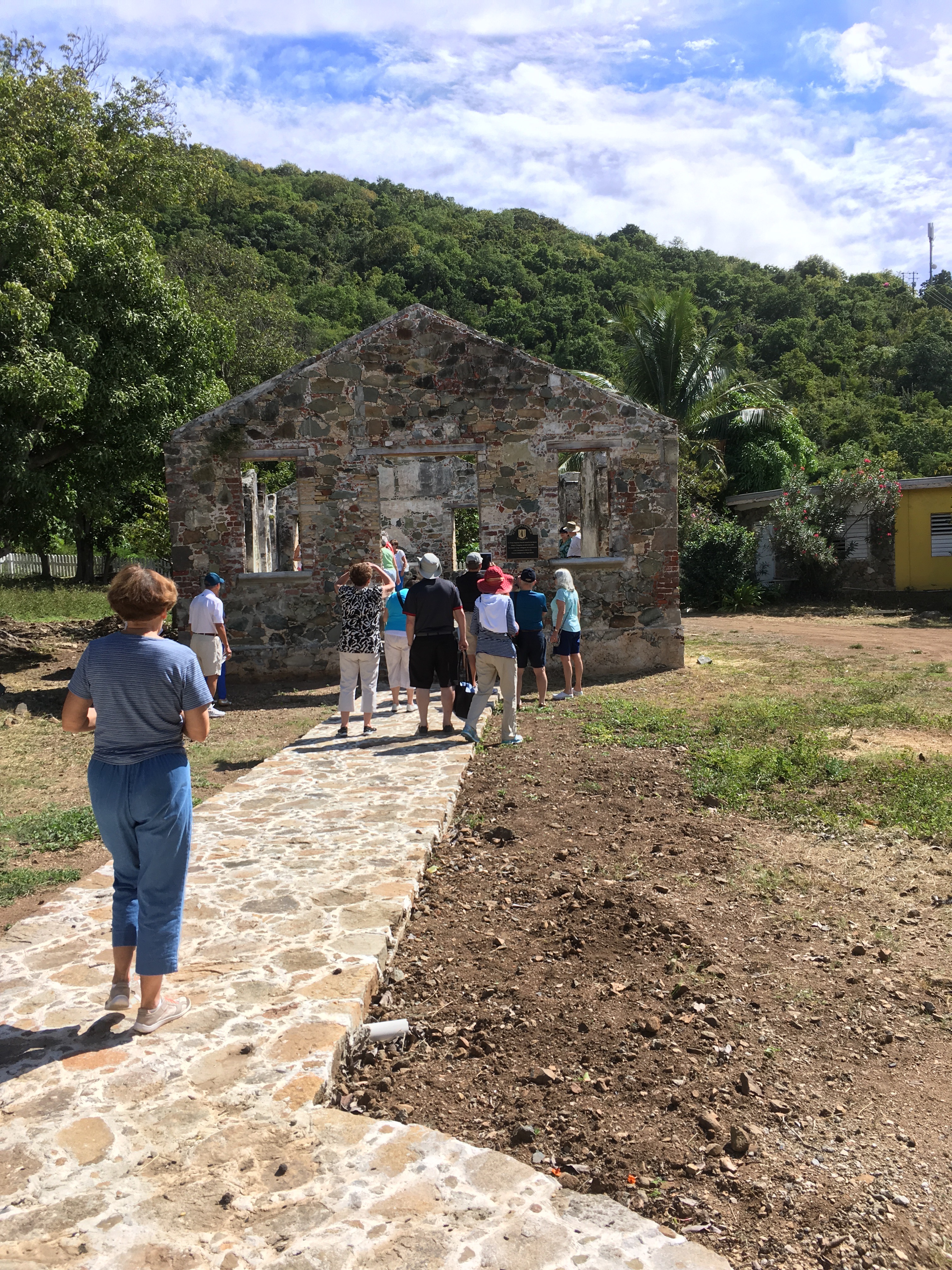
We visited an old cotton mill – some examples of items made by the slaves from cotton scraps.


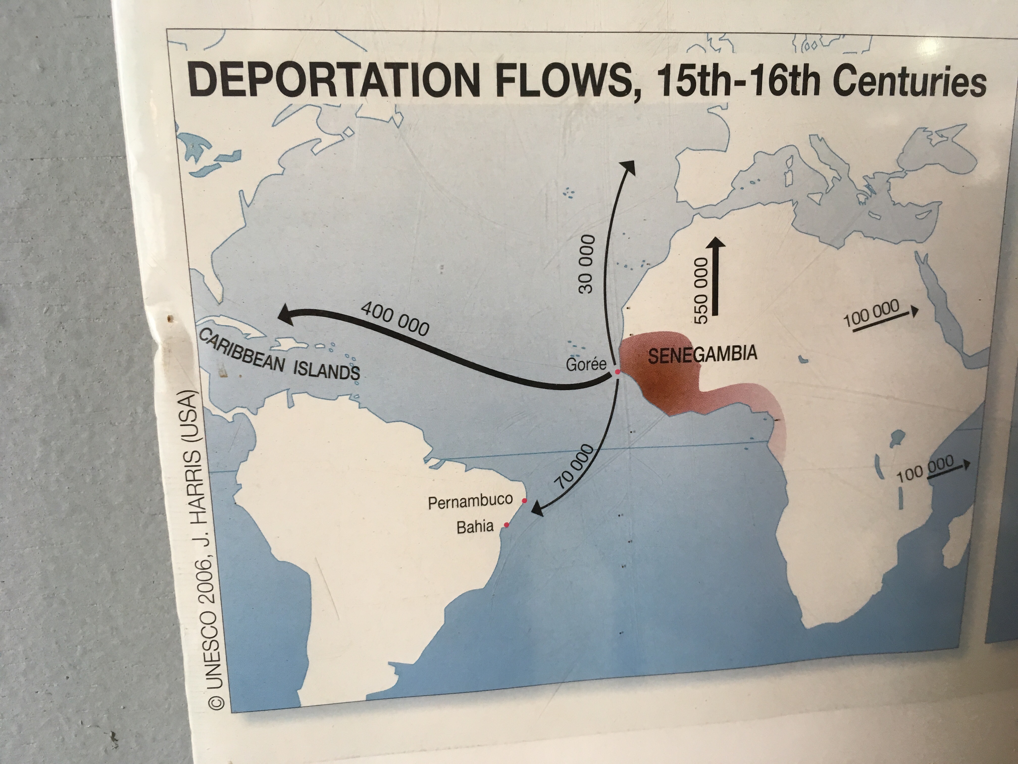
Slave trade in the 17th – 19th centuries.


A church in Kingston where we heard a reading of the emancipation order of 1803.


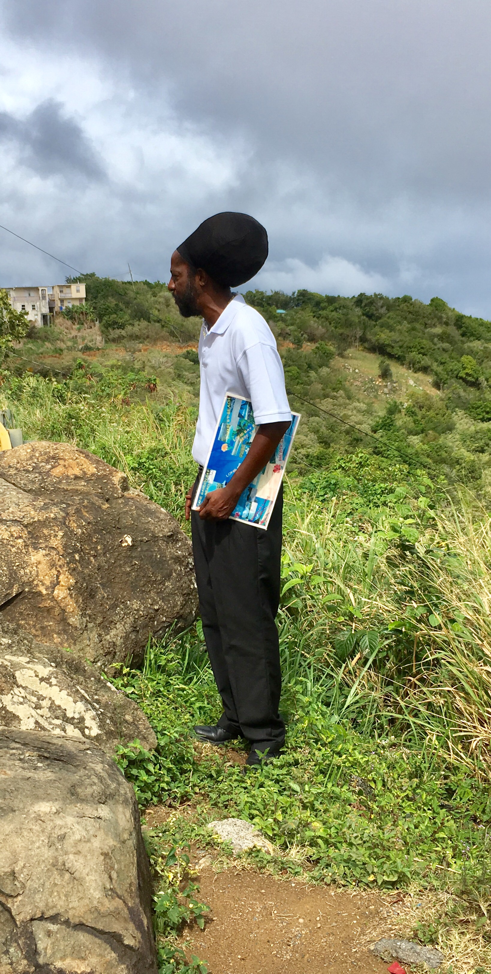
Our guide – educated in US on a basketball scholarship. His hair comes down to his knees!


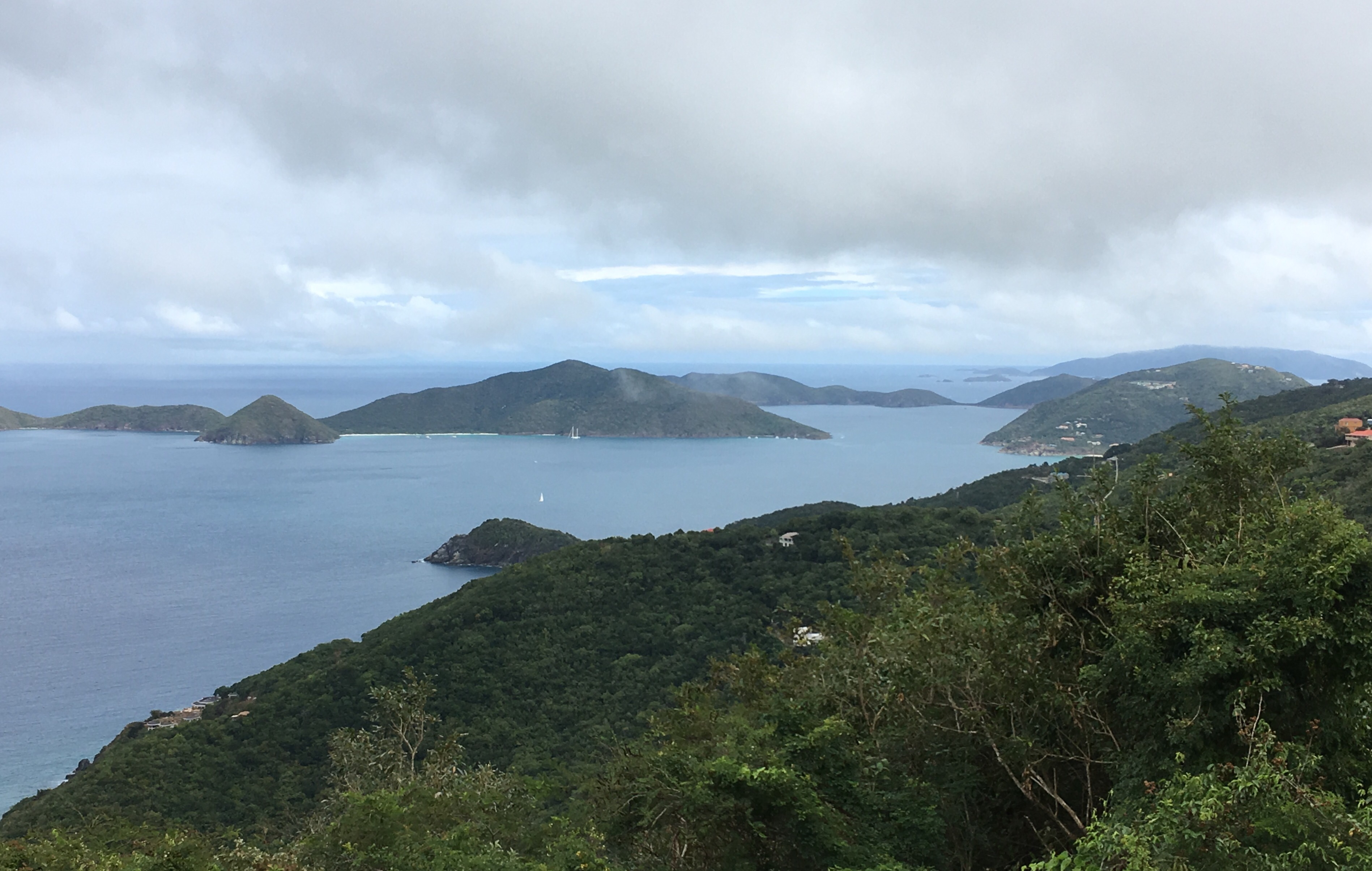
A few of the 60 islands that make up BVI. Main business is a tax haven – home to over 60,000 numbered companies and many major banks. Second biggest industry is charter boats tourism is 3rd.

Road Town.


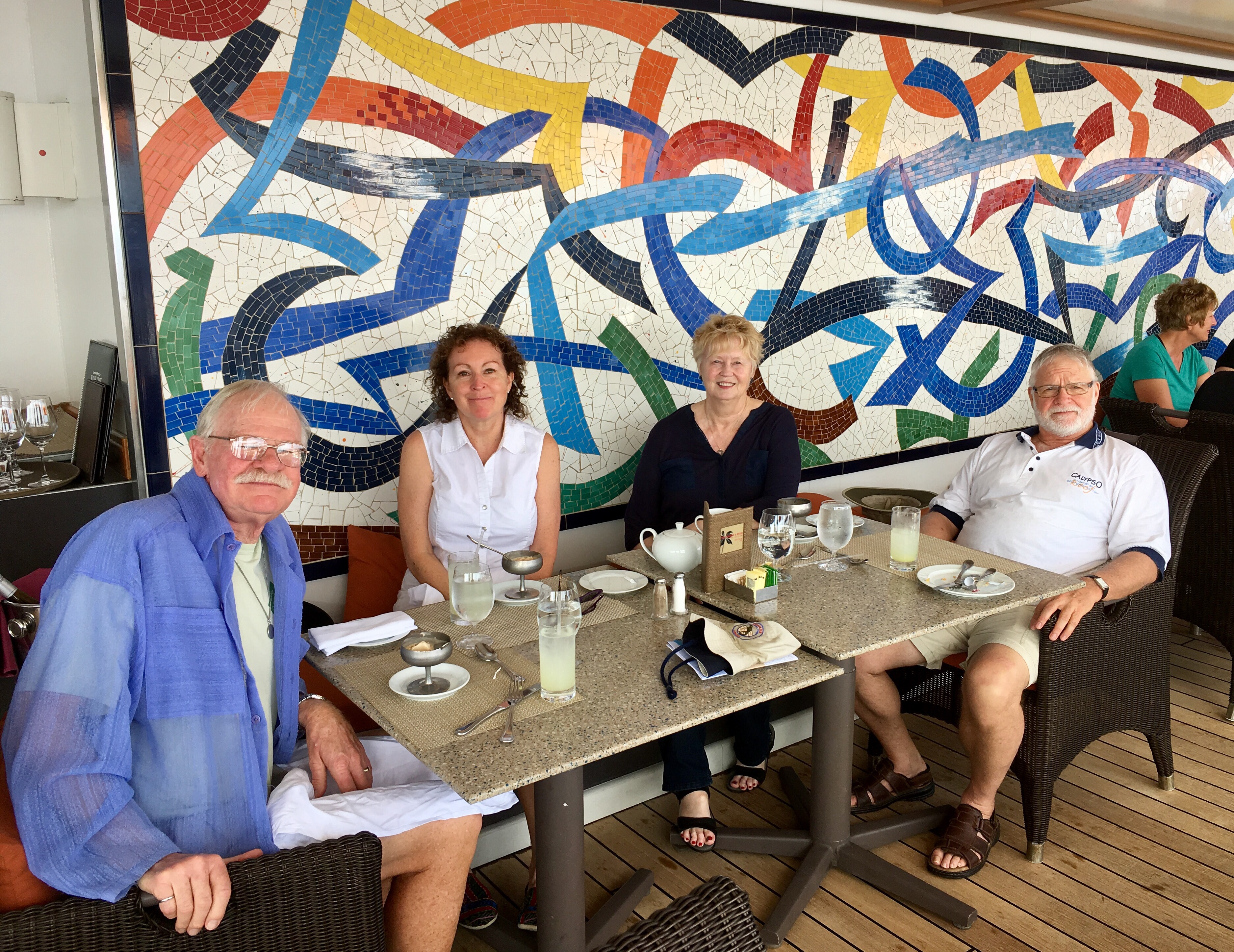
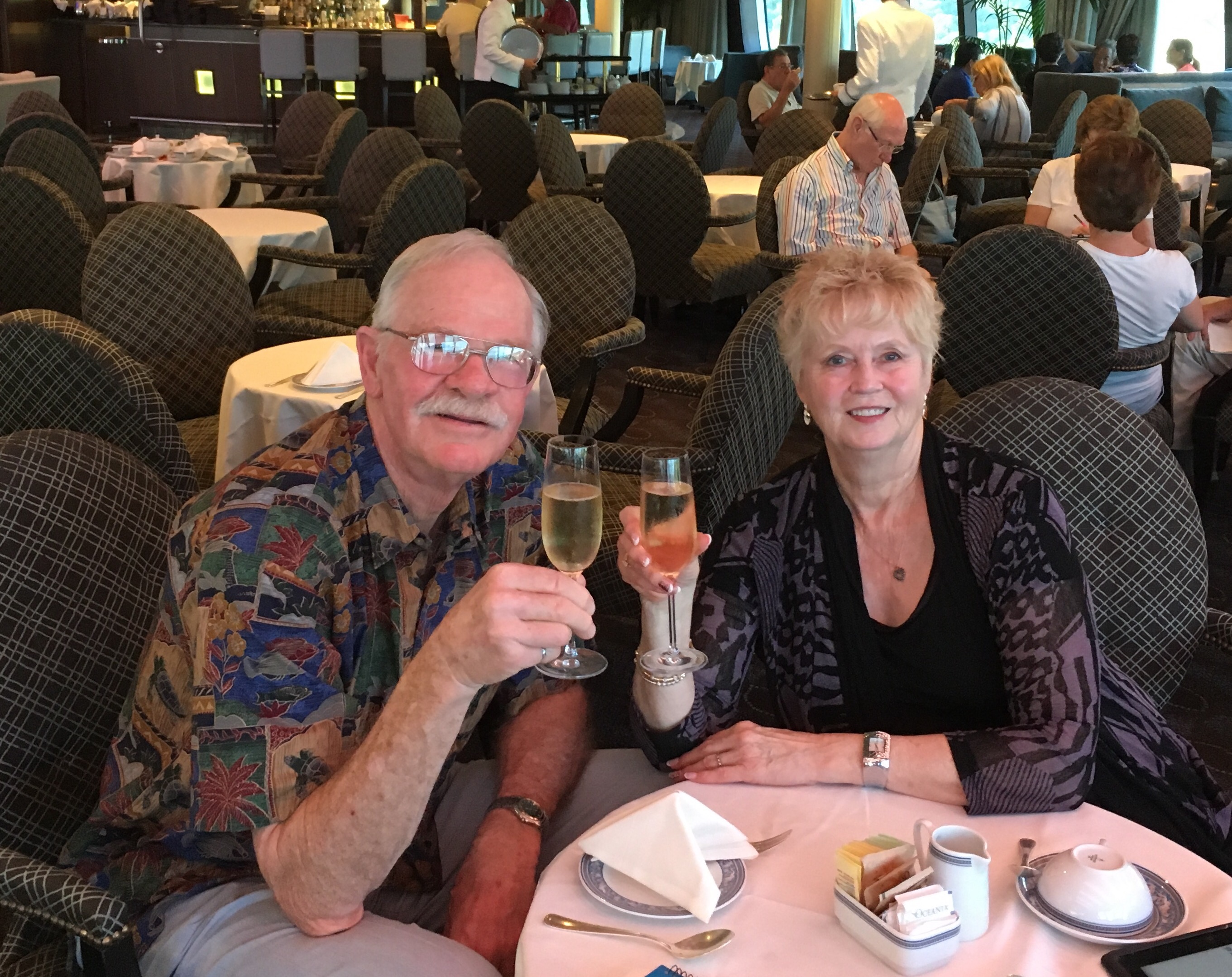
Dining on the back Terrace, Polos & Tea time in Horizons


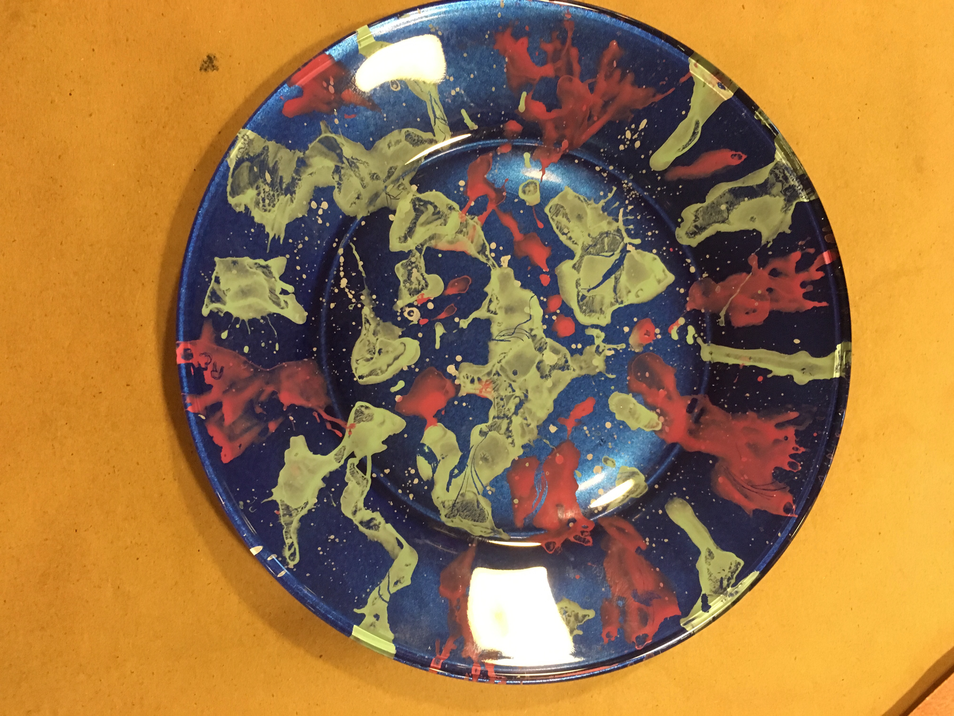
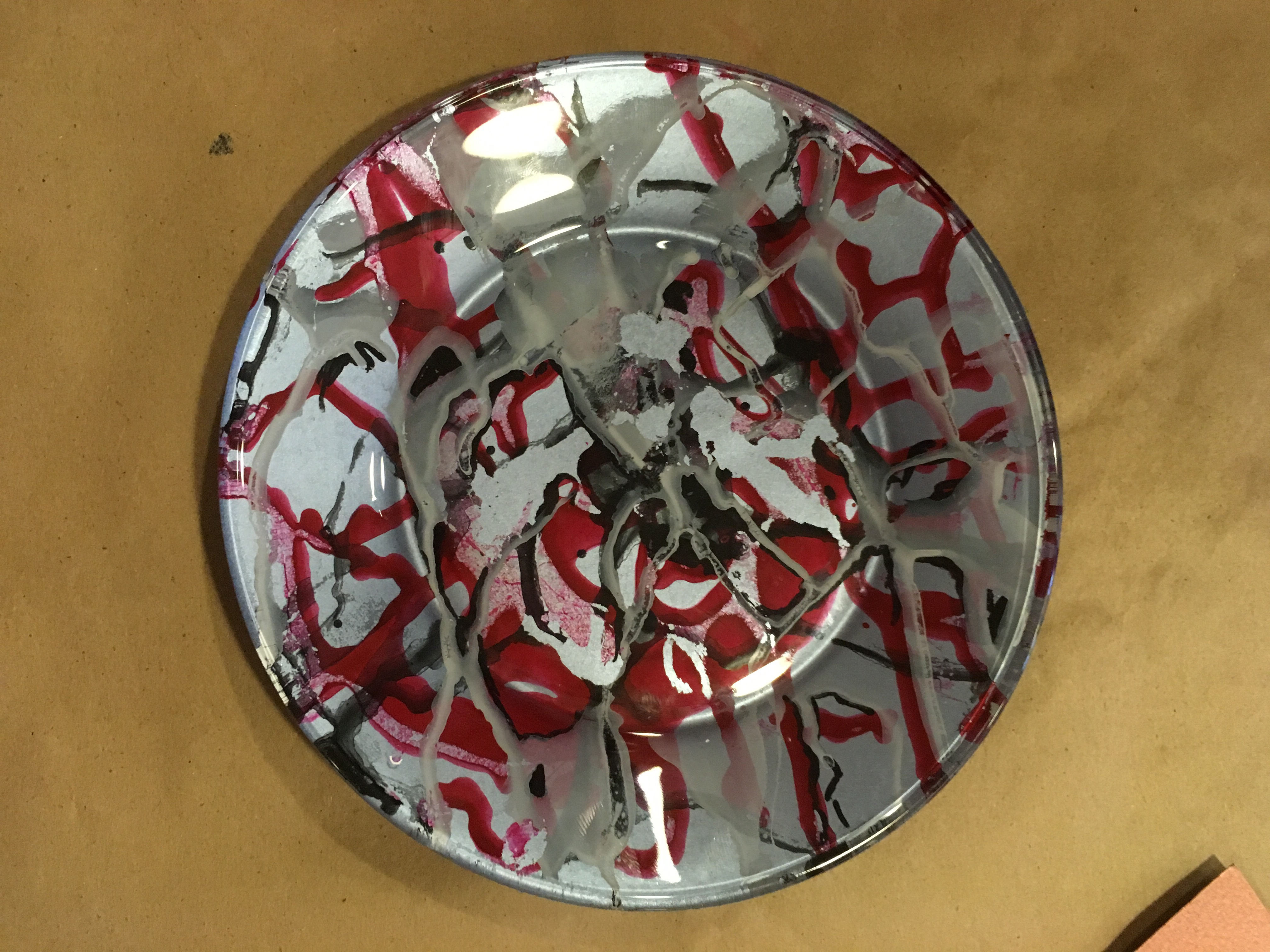
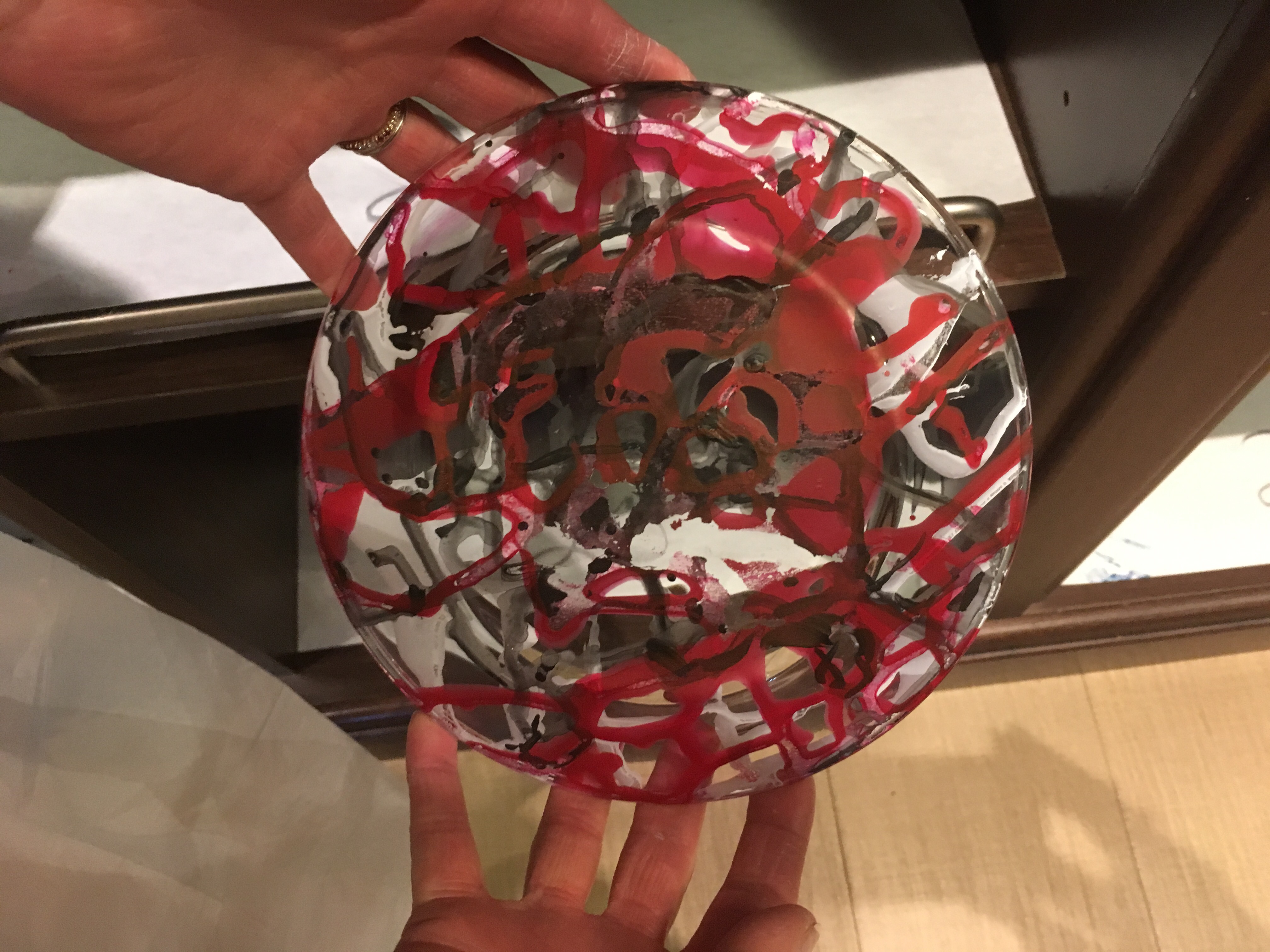
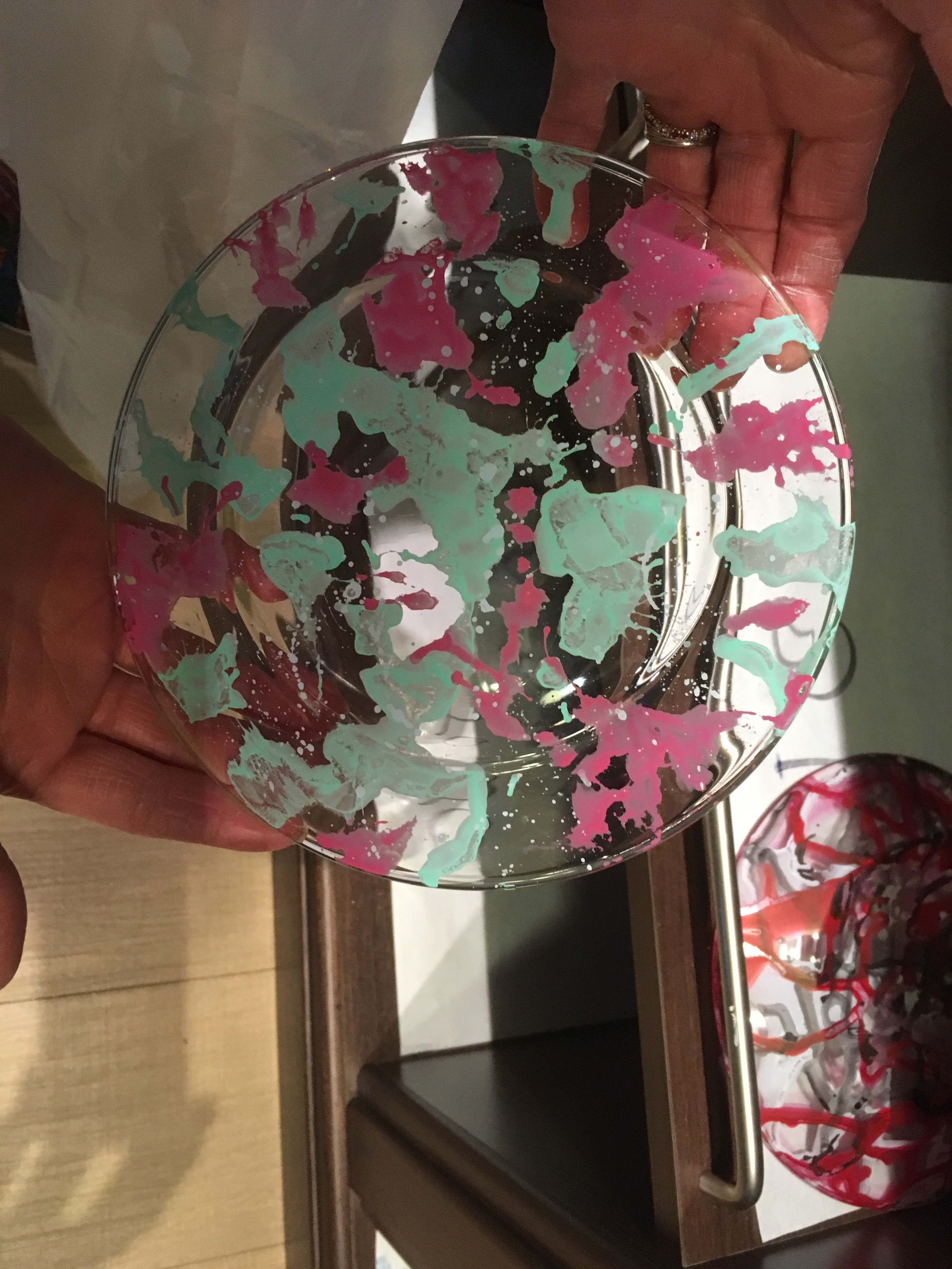
Plates that Rena & Pat made in their art class. First one is Rena’s.


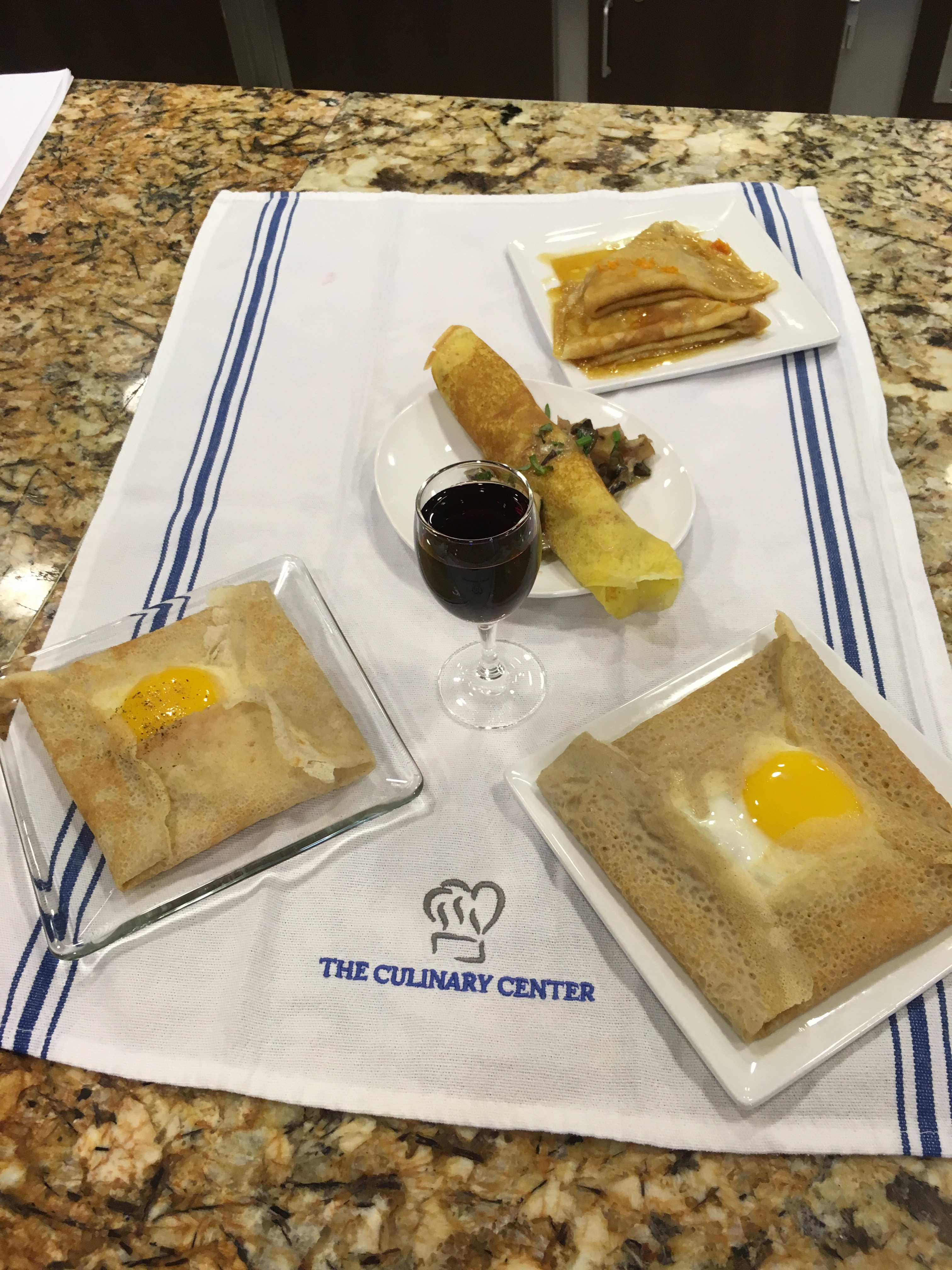
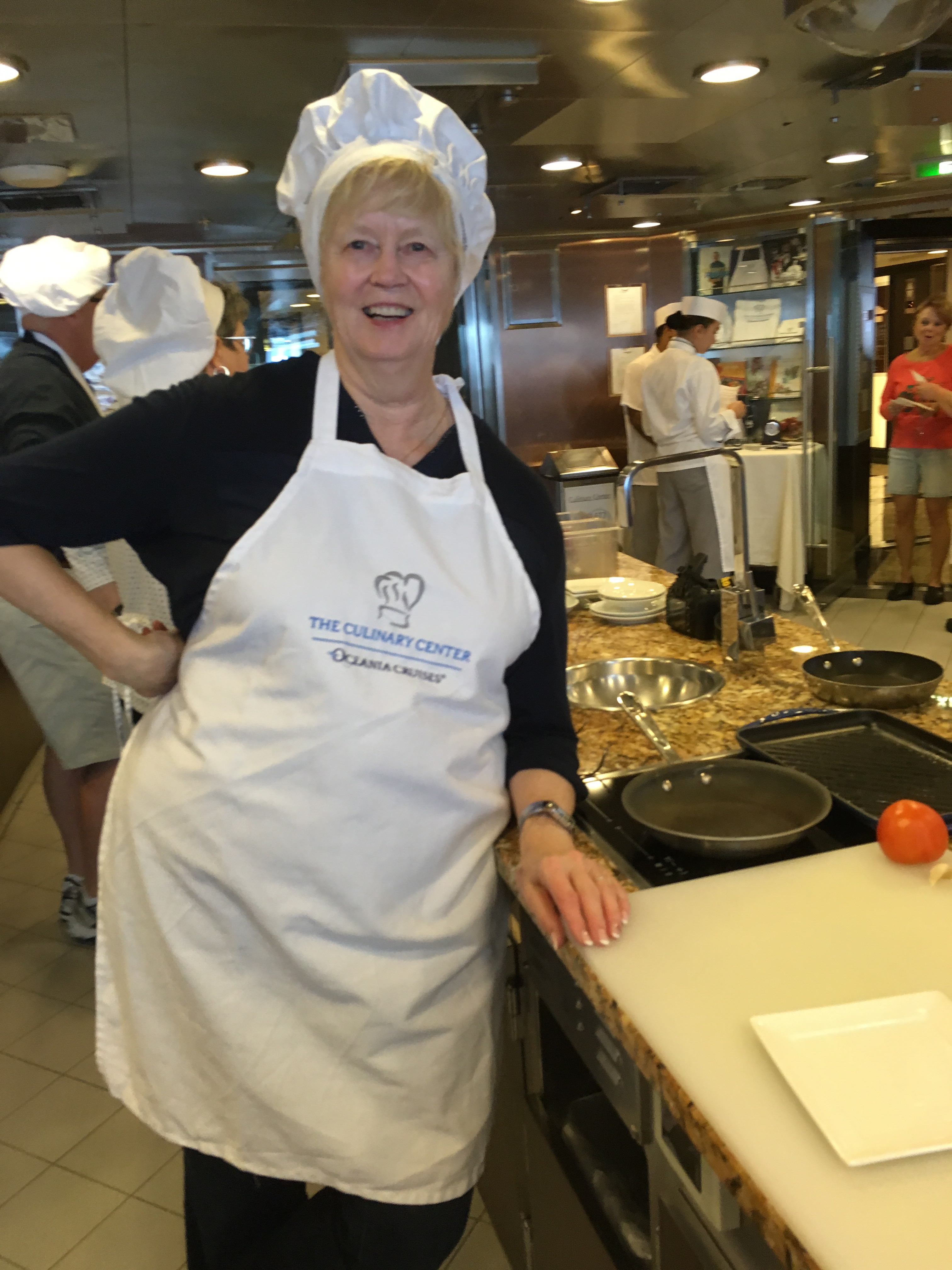
Pat’s crepes class.


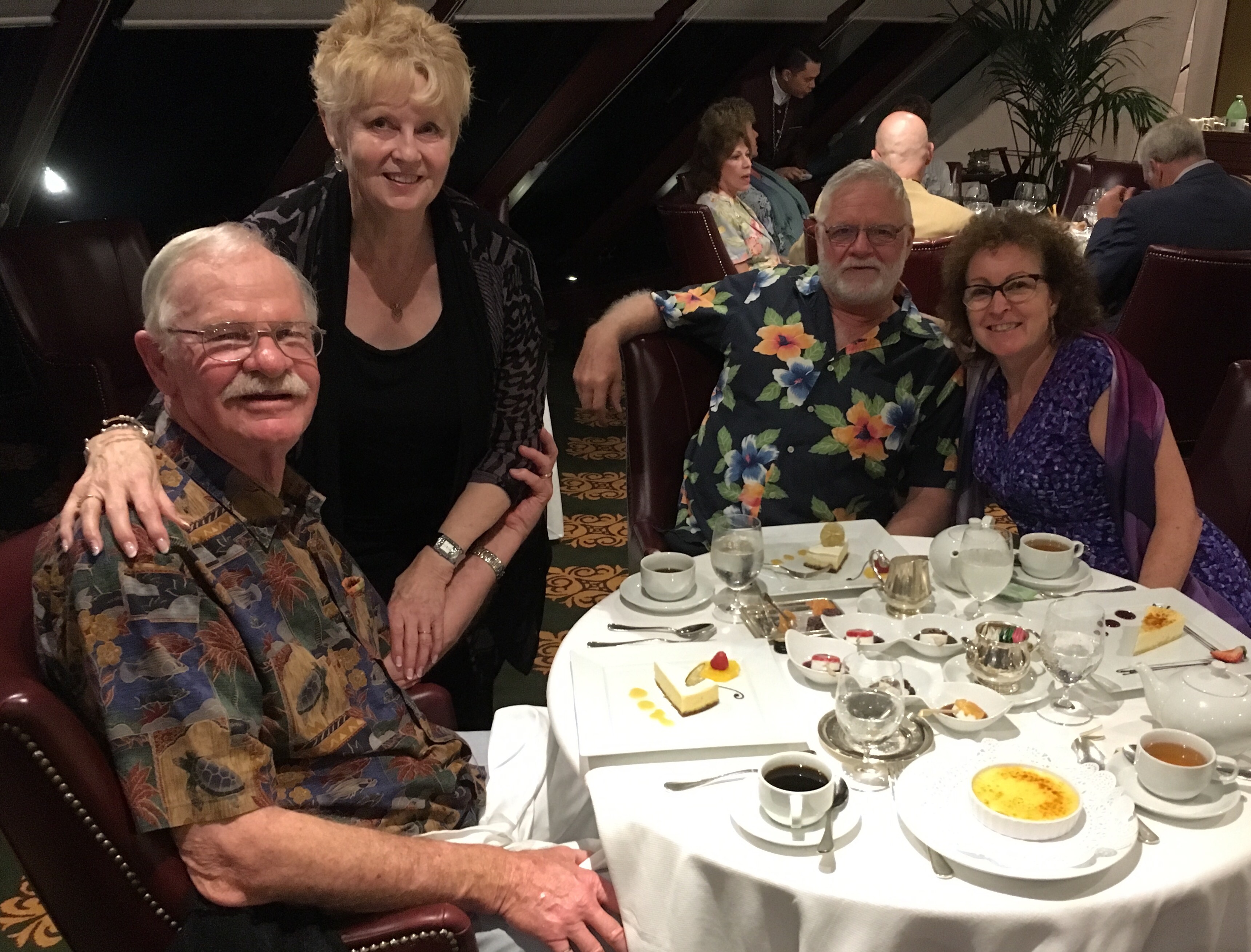
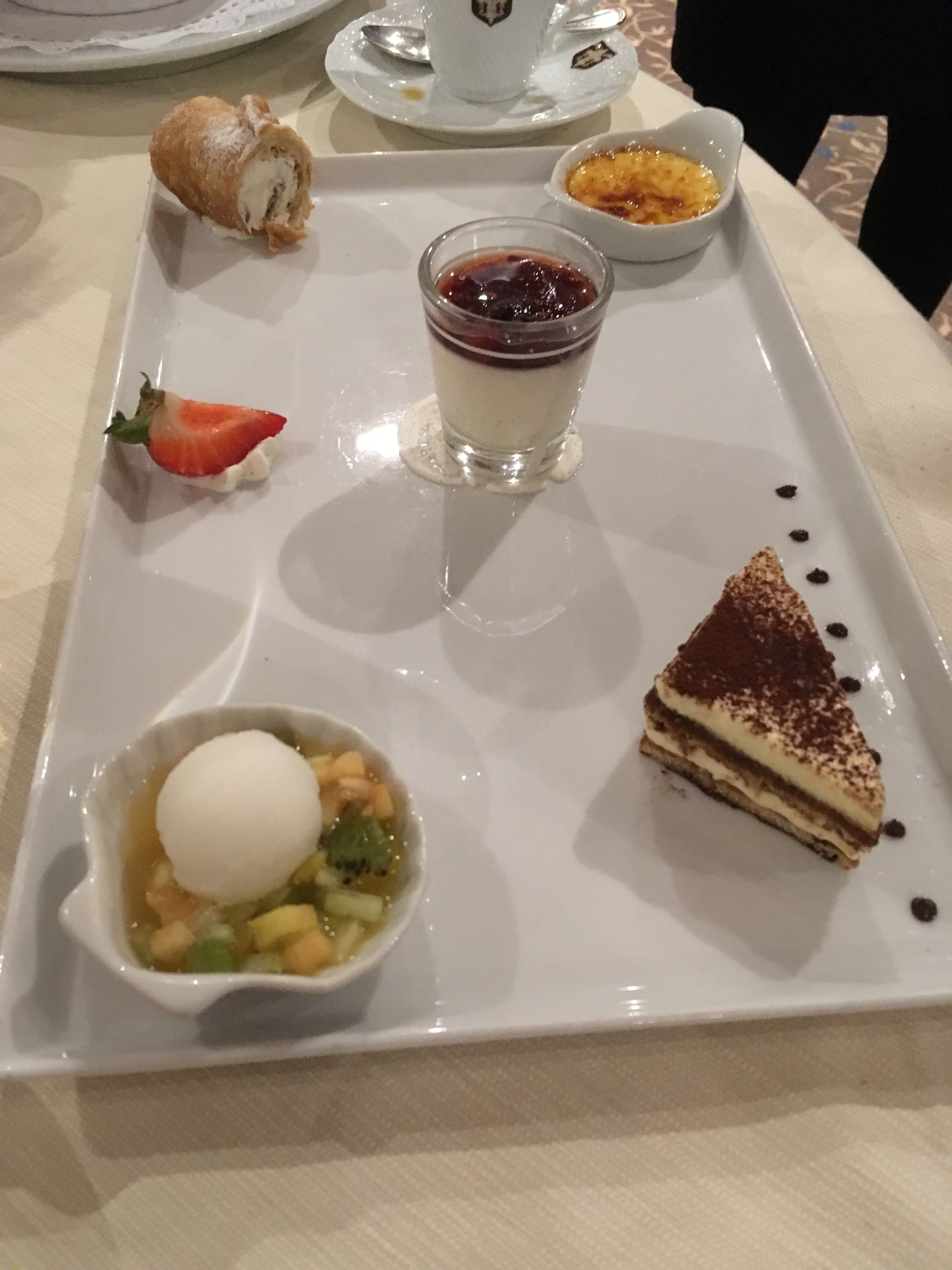
Some desserts, Dave set a record at one meal with at least 6 desserts – even Fran doesn’t have that many!

A great trip and hopefully another one soon.


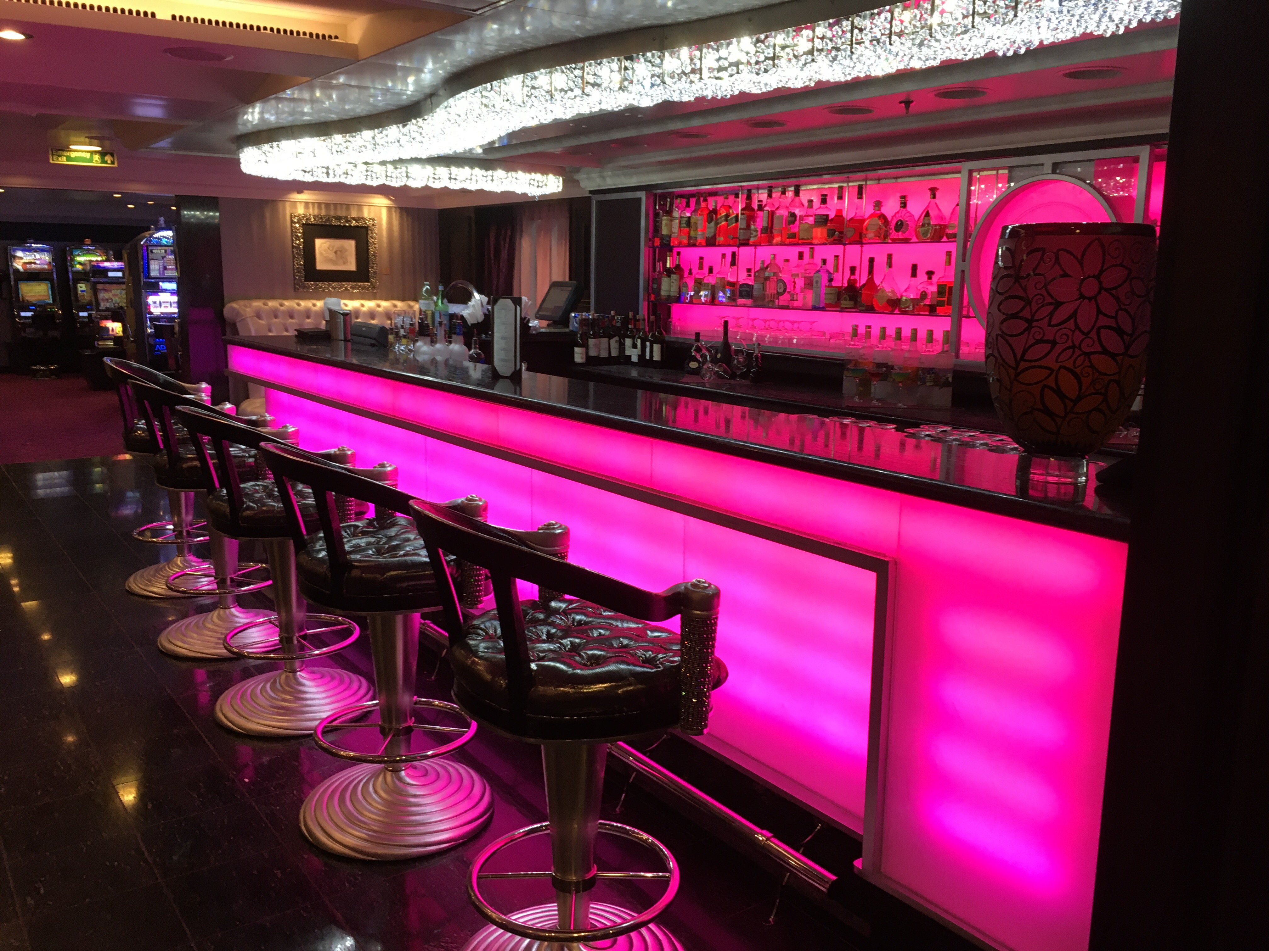
The Martini Bar

Posted in Uncategorized | 2 Comments

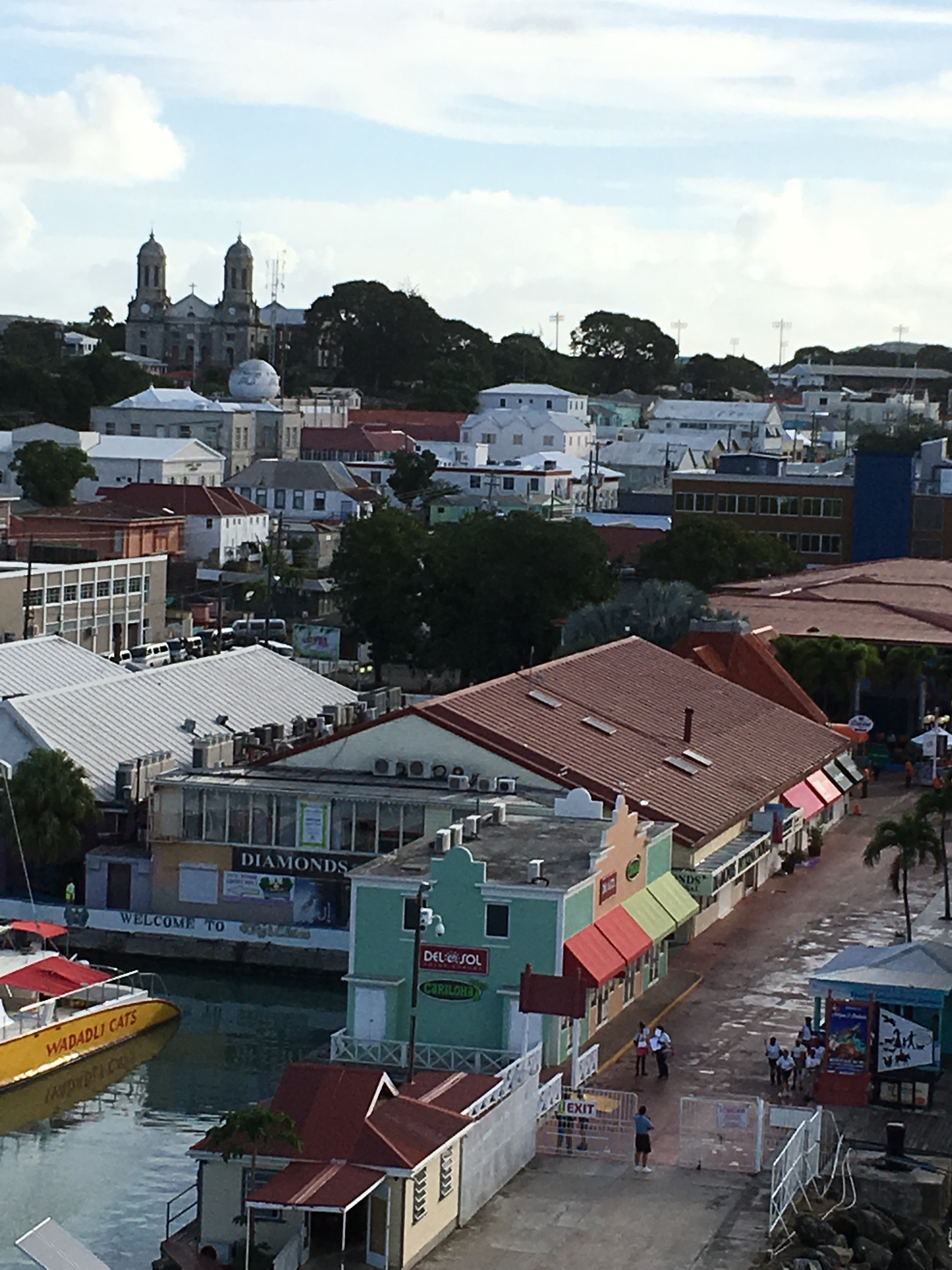
Antigua, Jan. 29

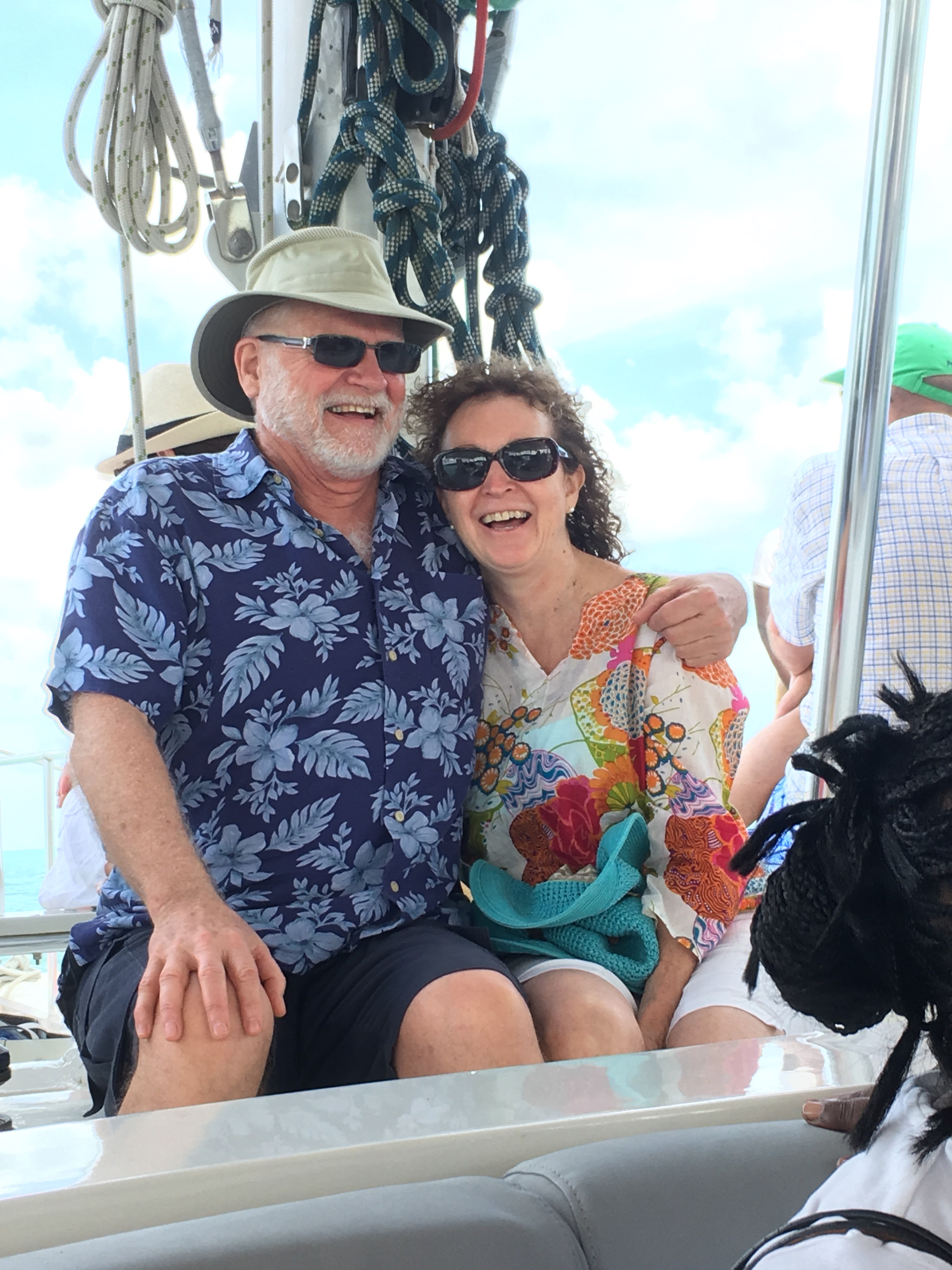
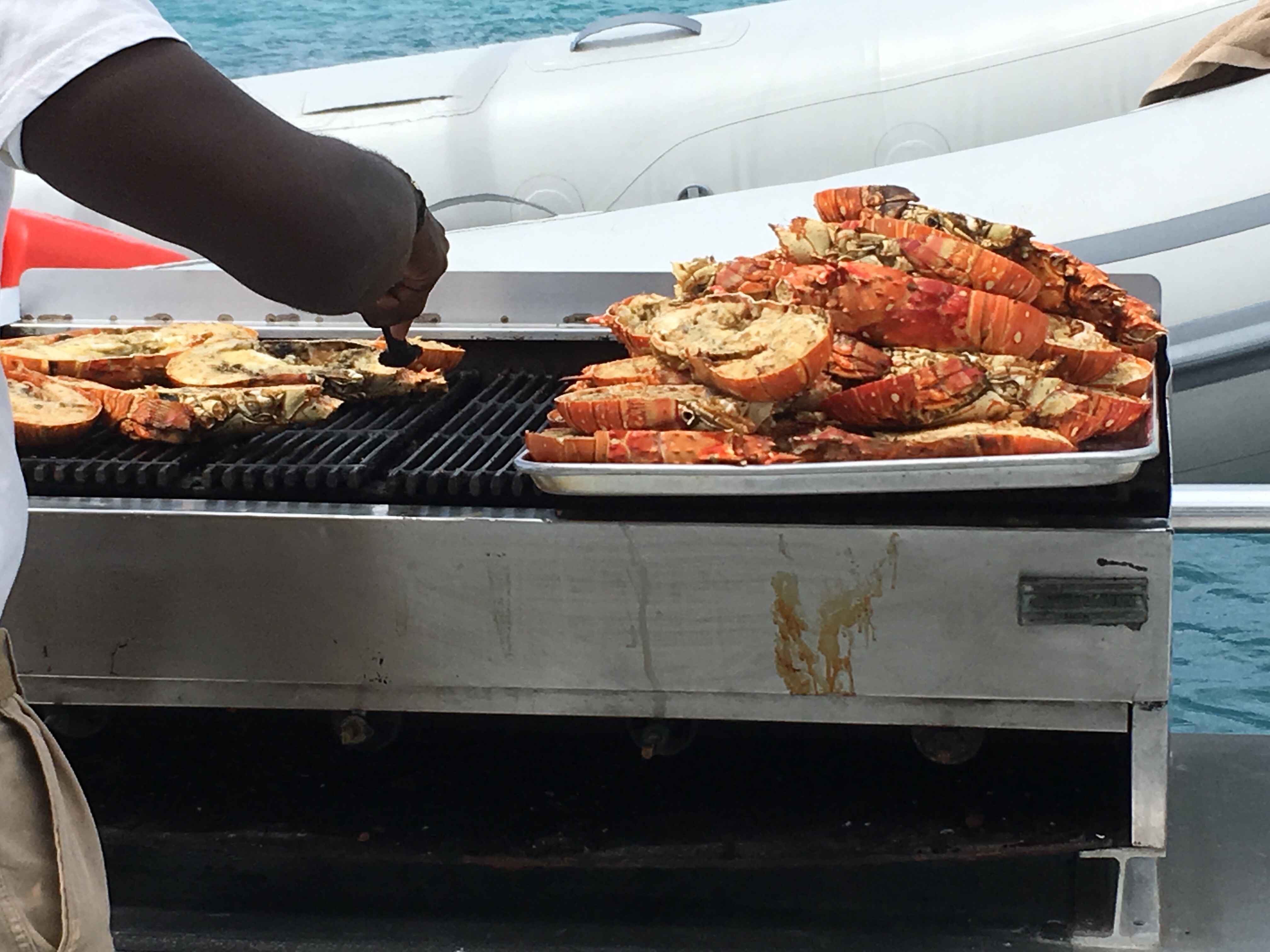
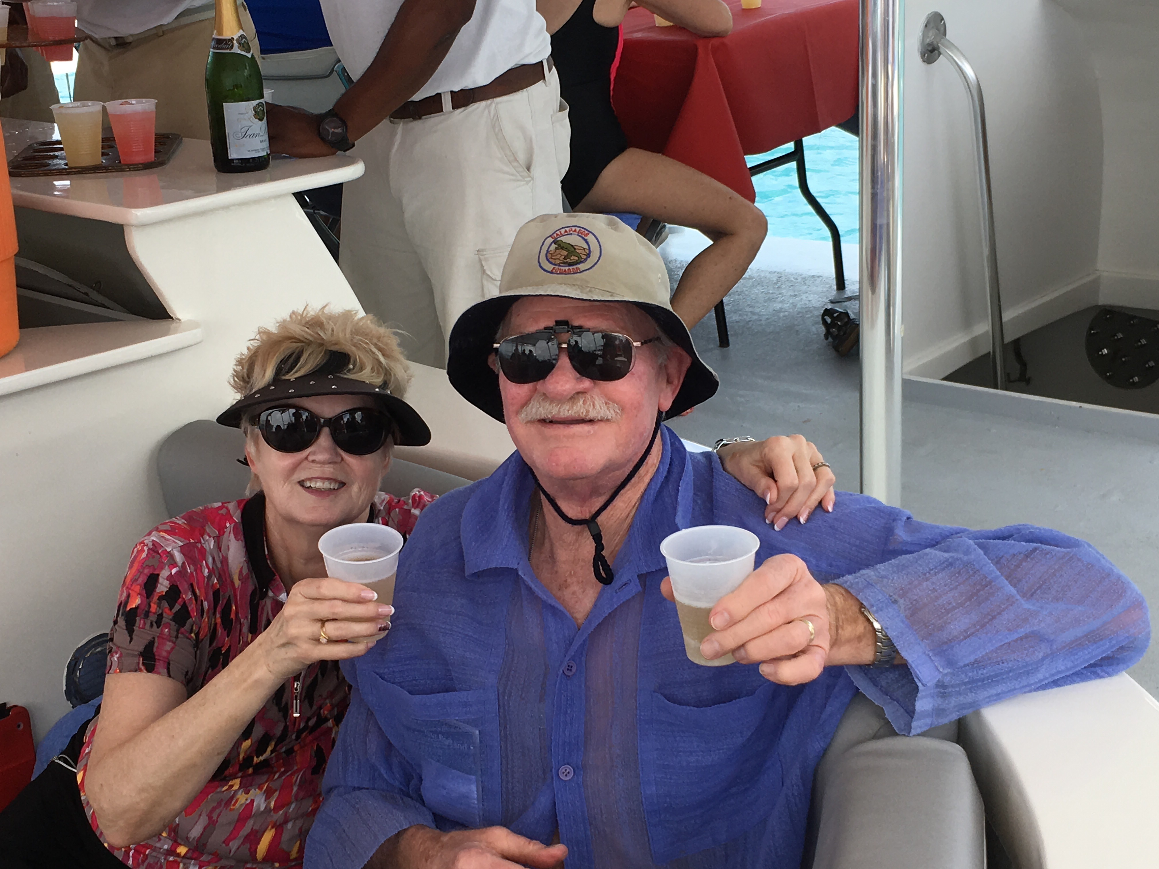
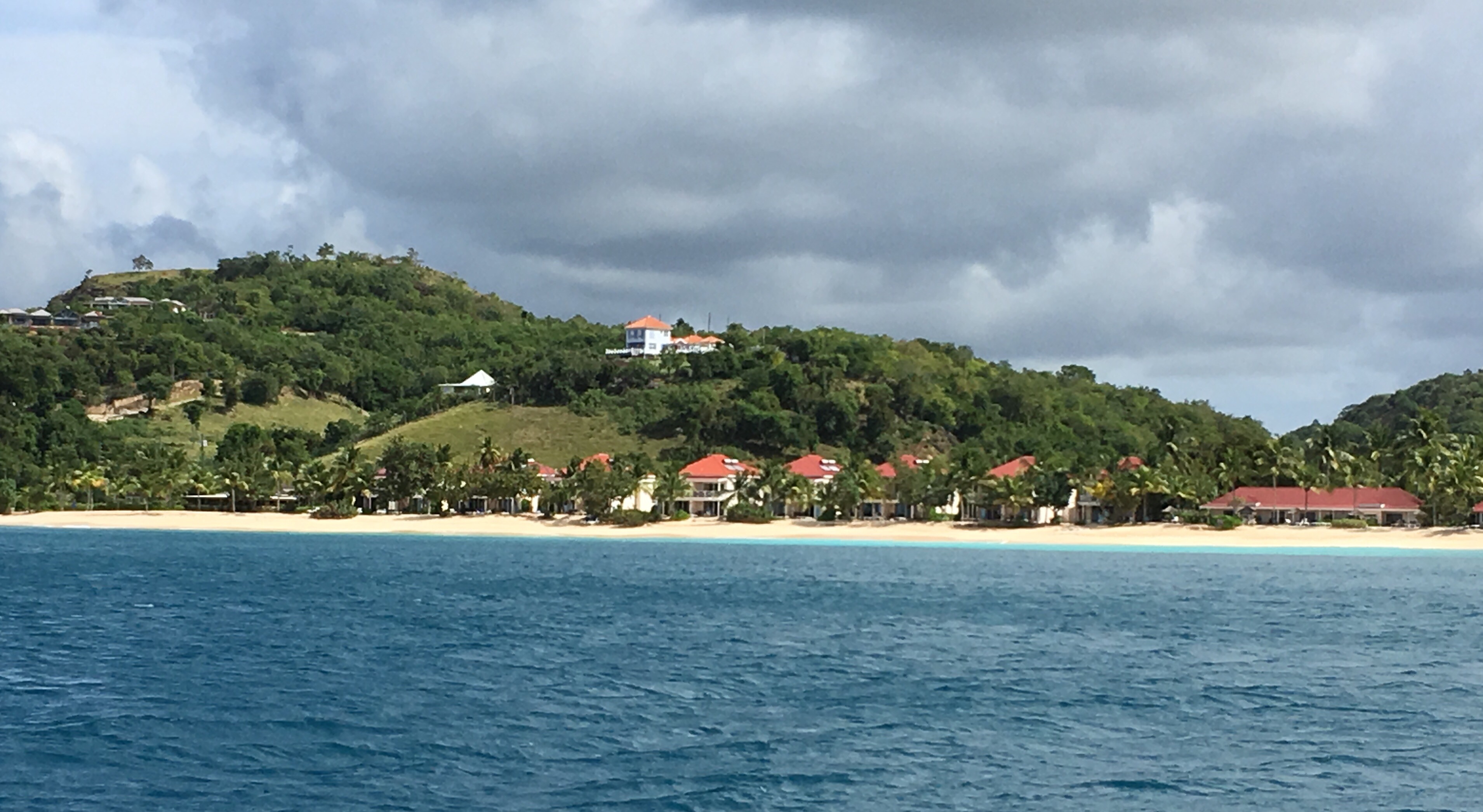
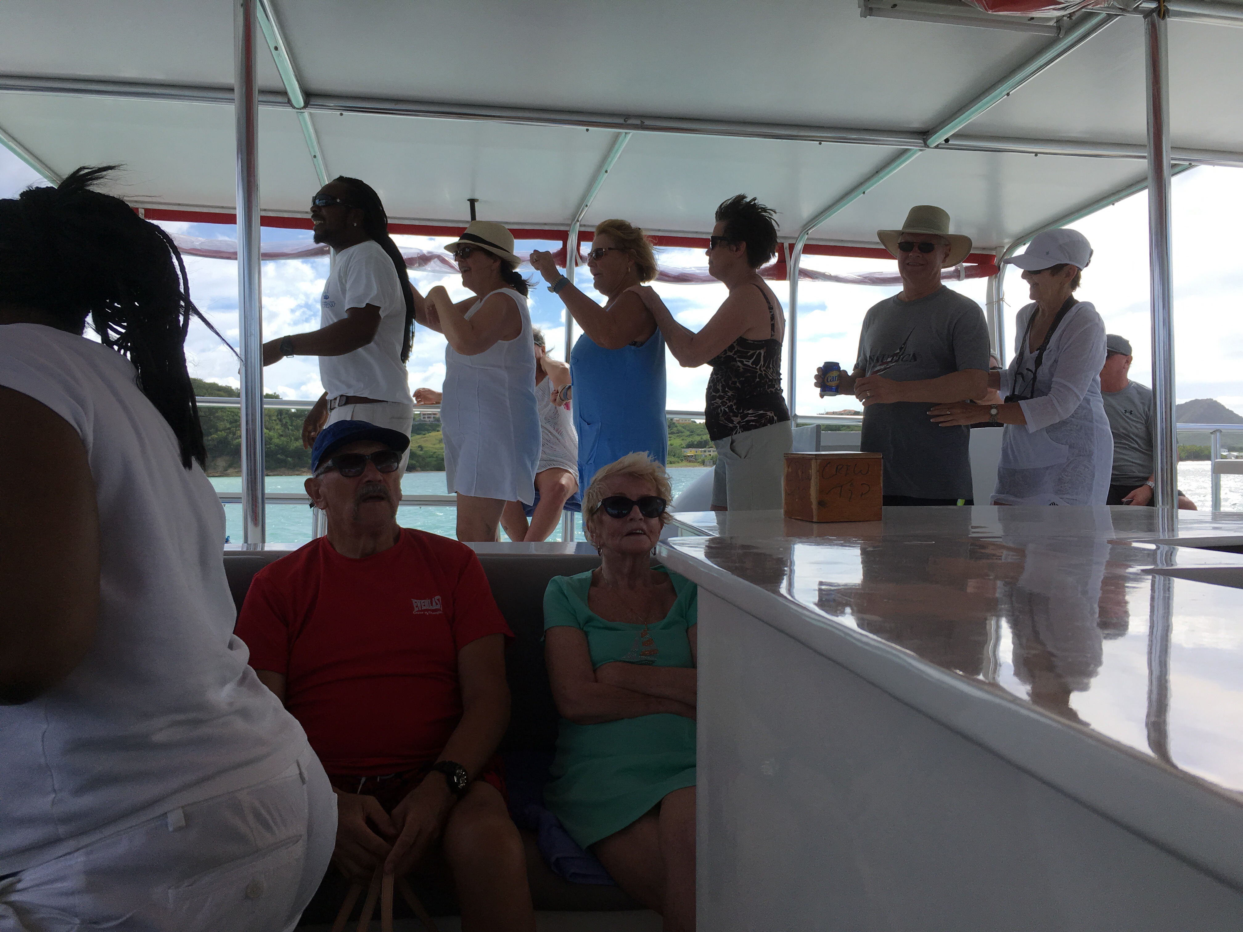
Today was a 7 hour party on a catamaran – we sailed along the coast, visited a couple of the 365 beaches, had rum punch,  lobster lunch and champagne and very loud music.


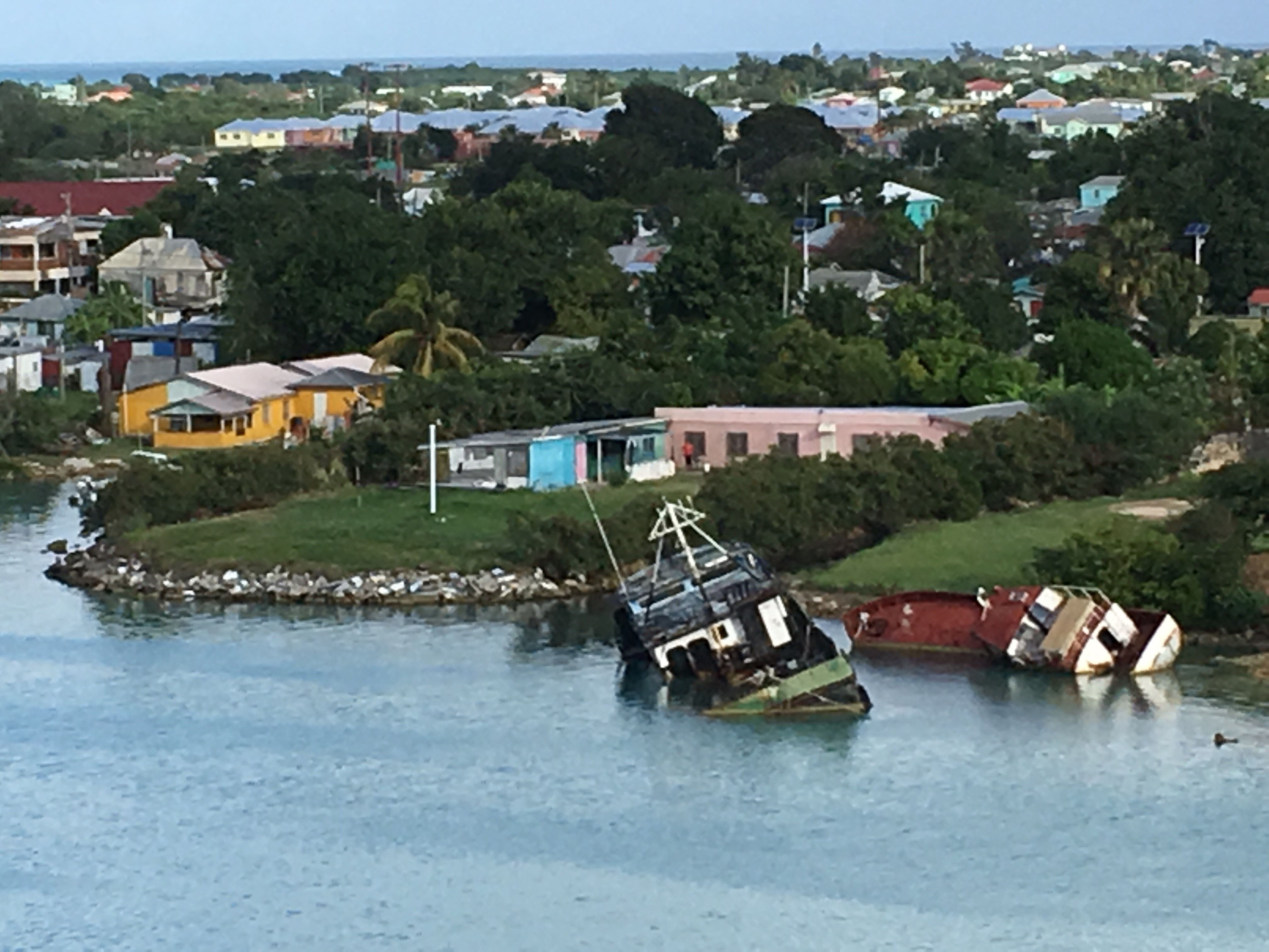
A disconcerting sight first thing in the morning!


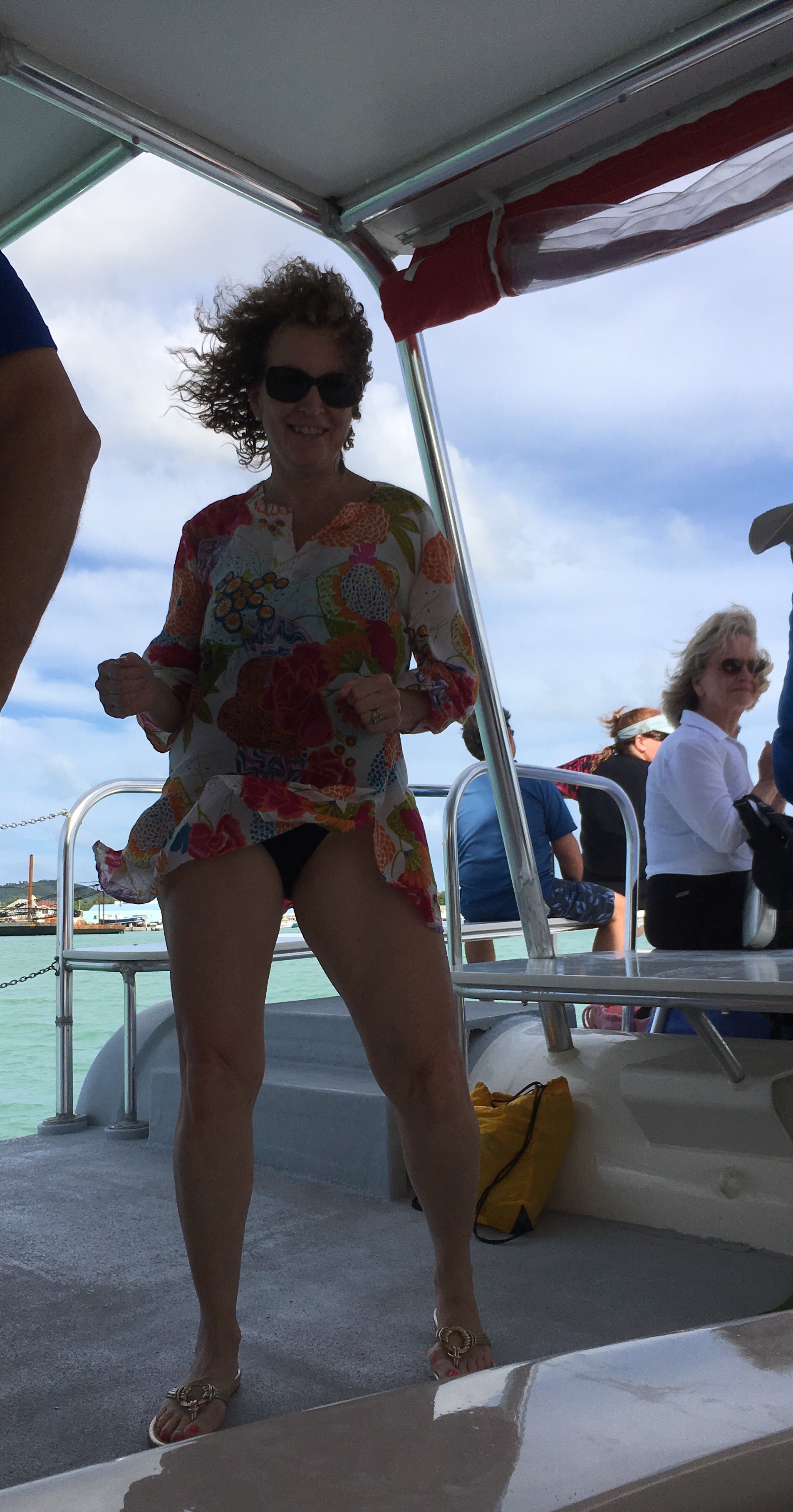
Nana after 4 rum punches

Posted in Uncategorized | 2 Comments

St Lucia January 27

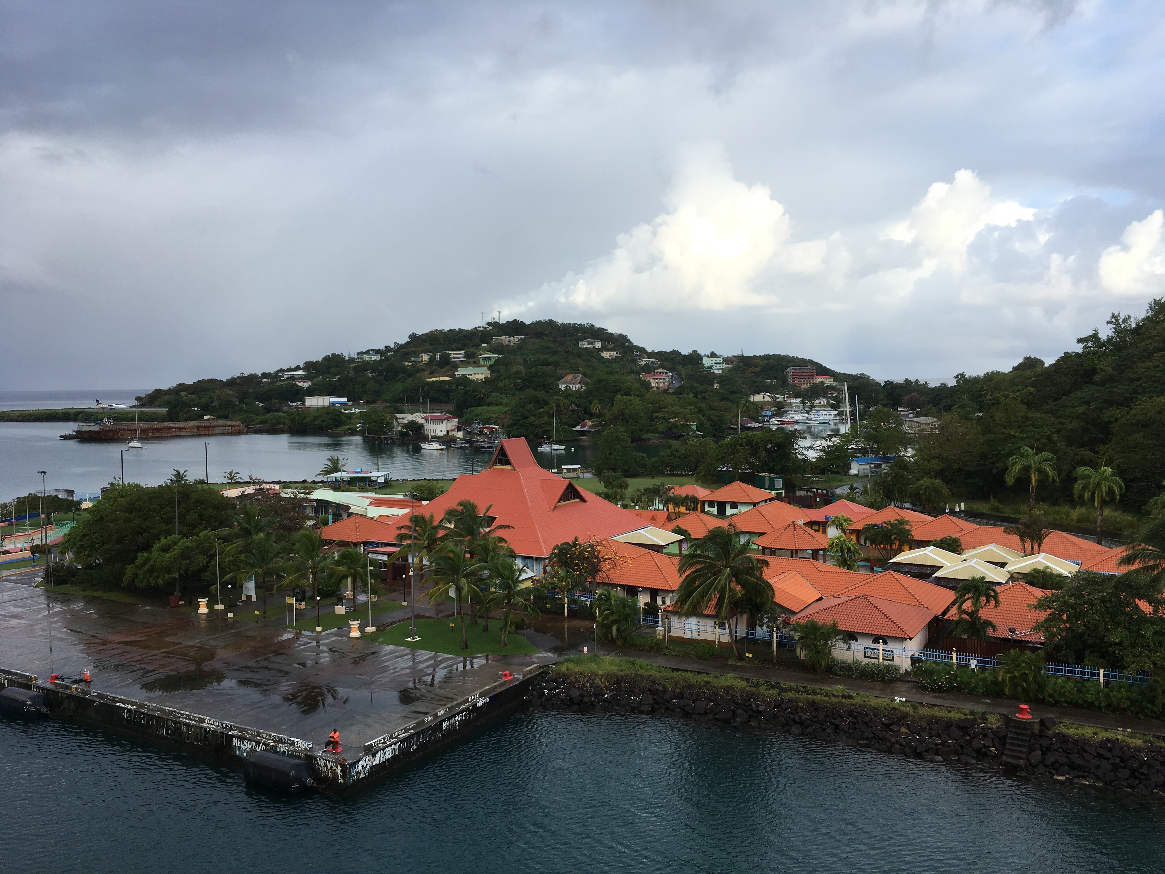
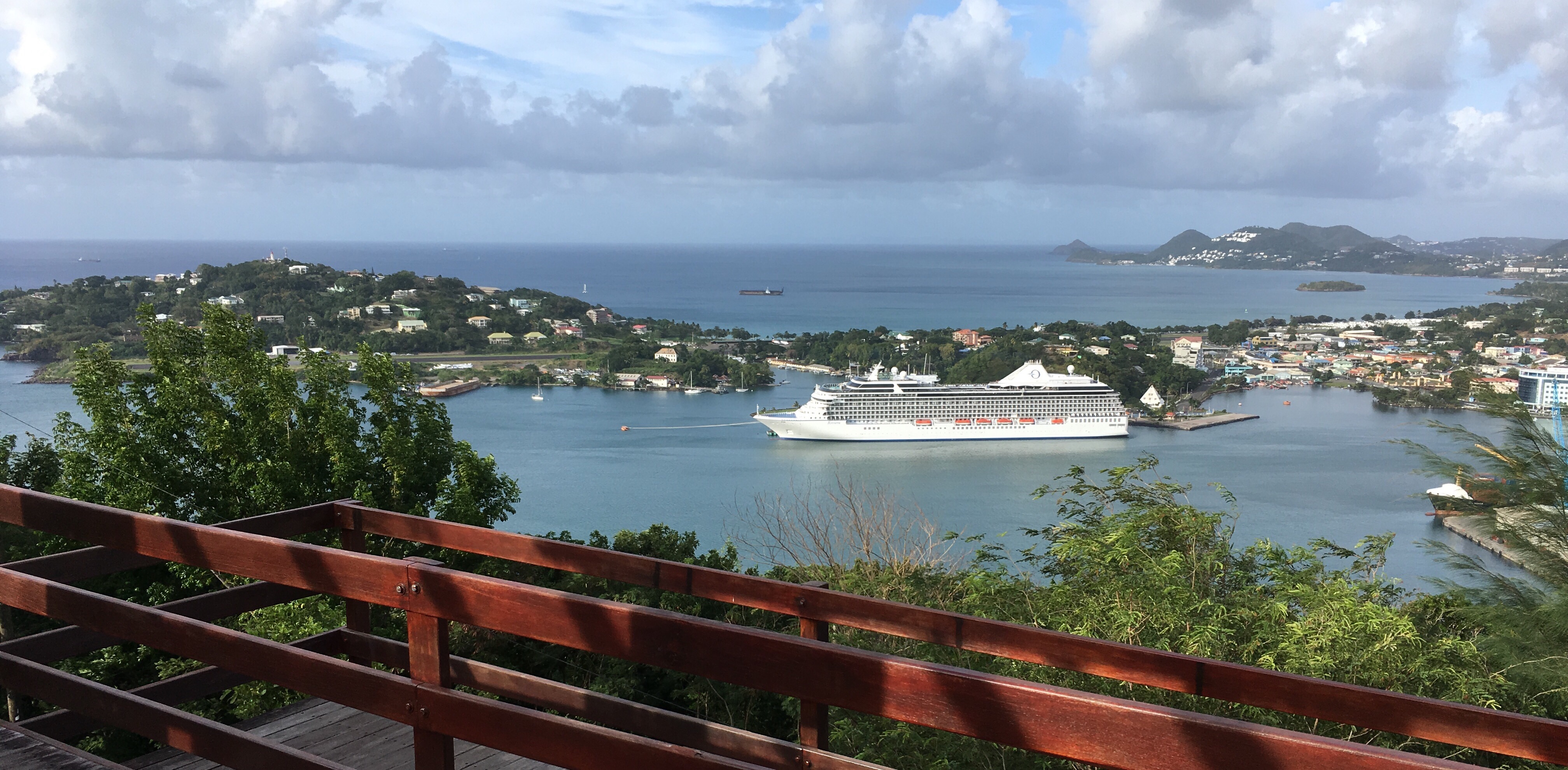
Another beautiful start to the day as we sail into Castries.


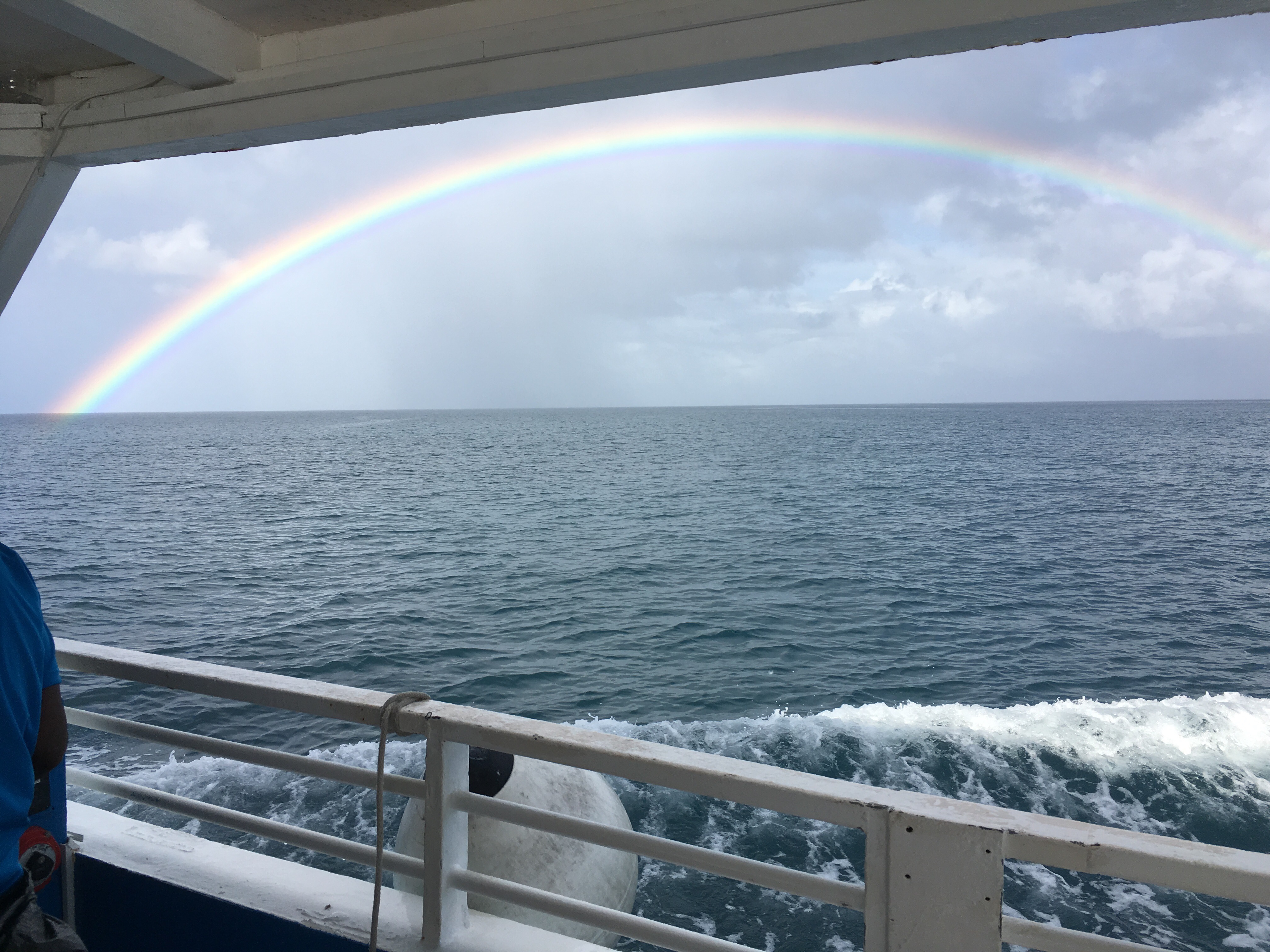
Our tour started with a catamaran trip along the coast. A beautiful rainbow came with some rain.
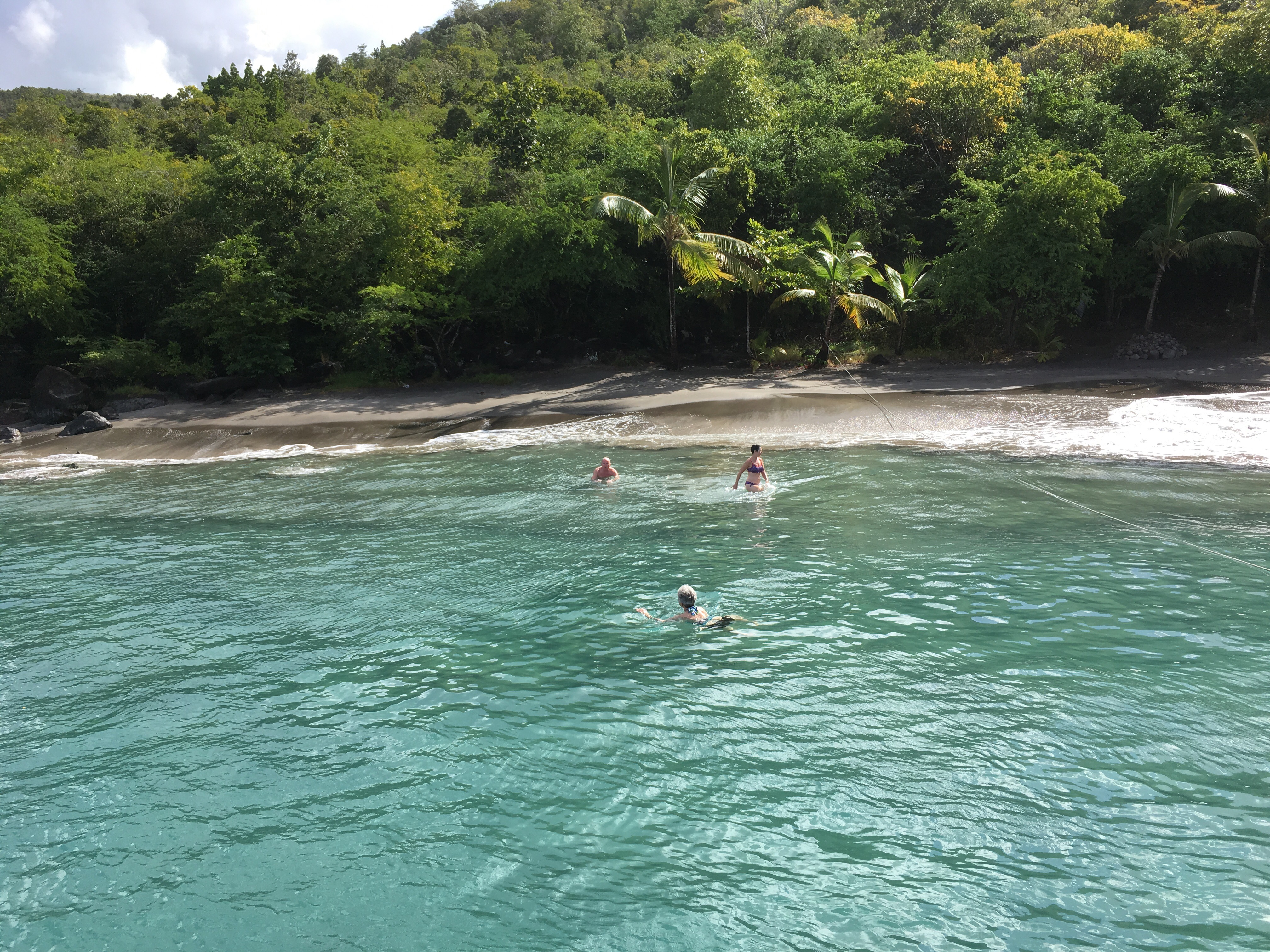
We stopped at a cove for a swim.


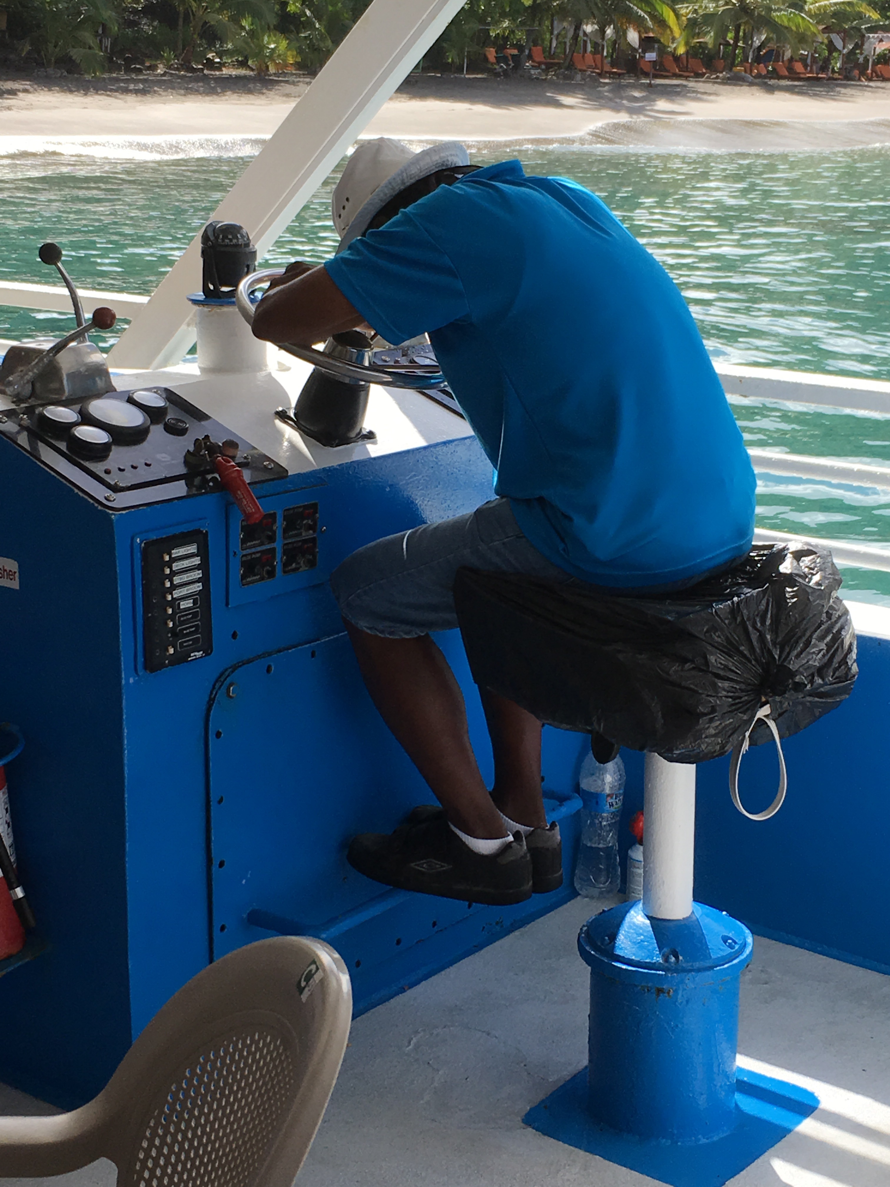
While our Captain had a nap.


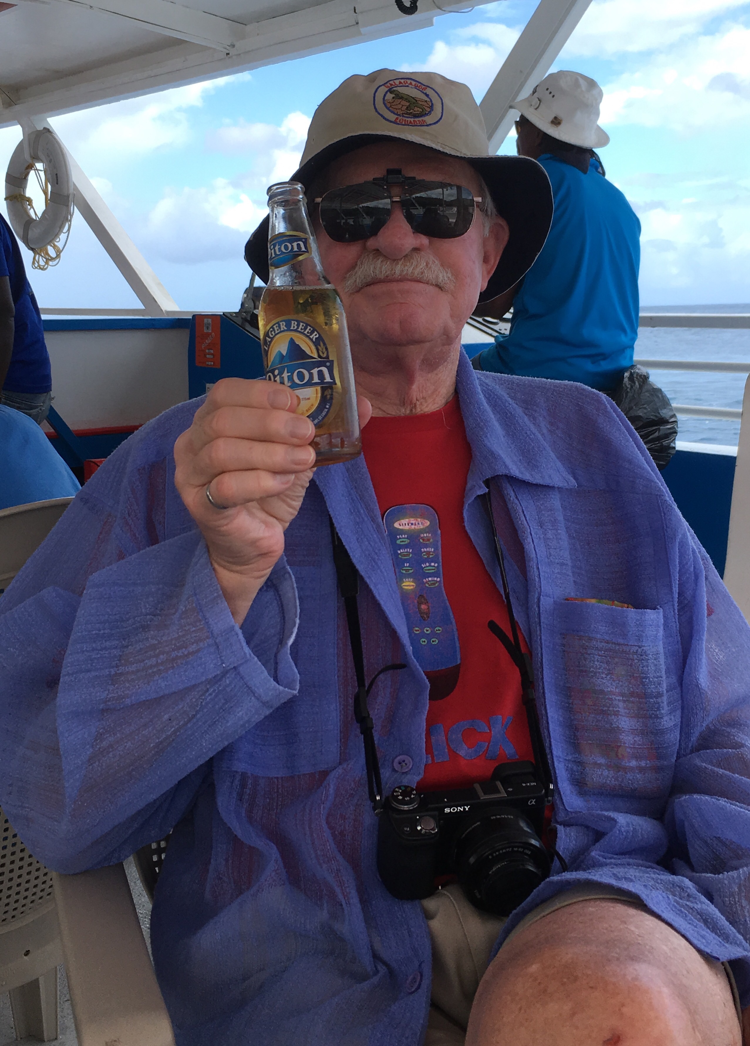
Gary had a Piton beer after his swim.

St Lucia is a mixture of French & English as it changed hands many times between the 2. England was the last owner- they drive on the left, English is the first language & Creole the second.


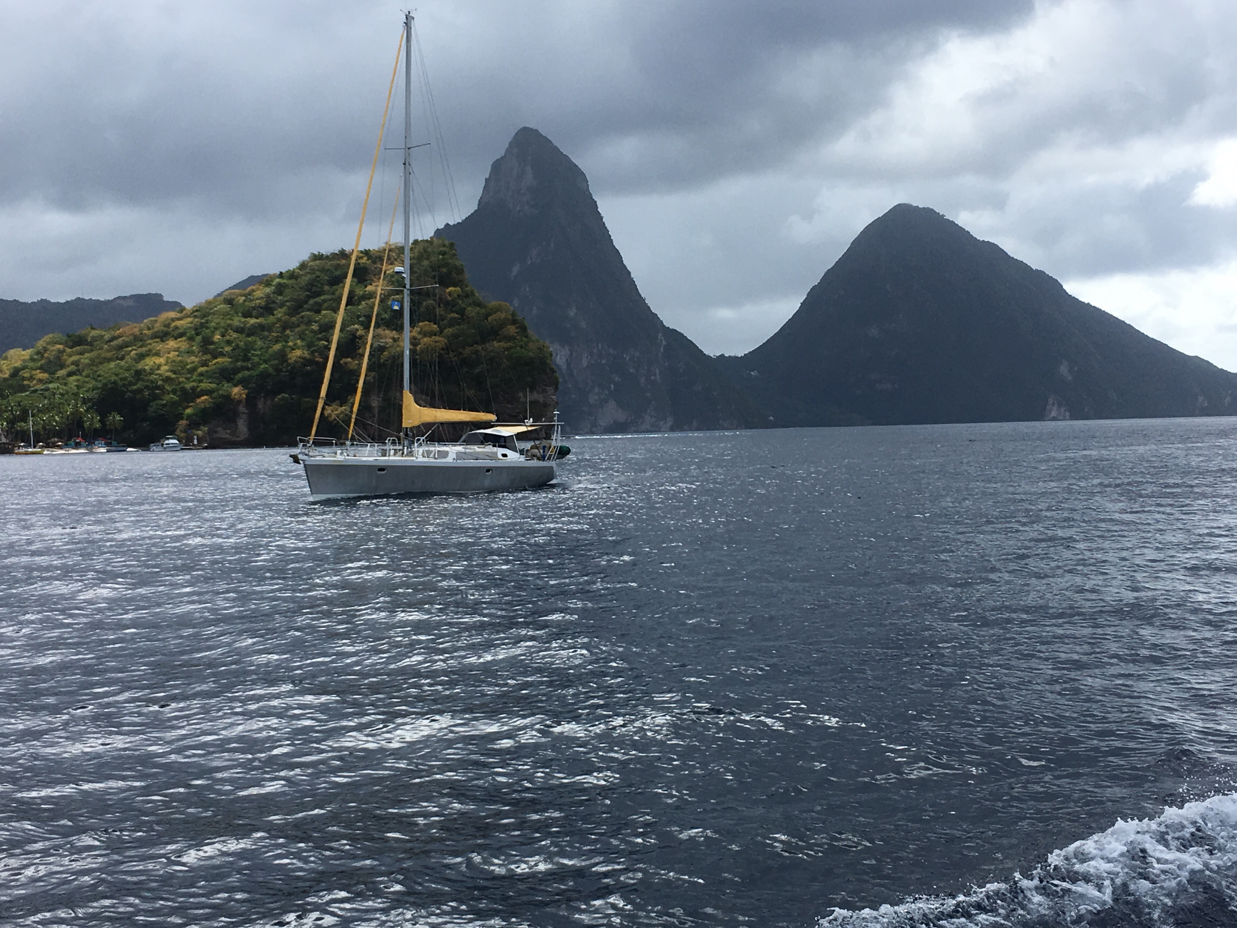
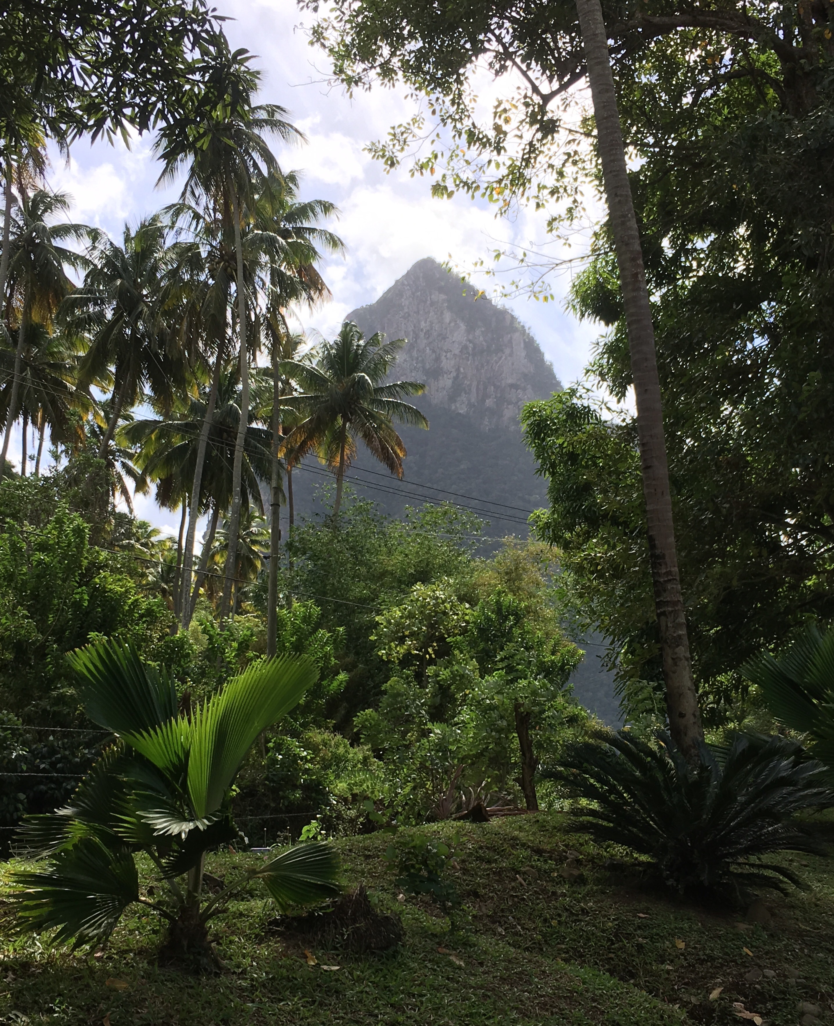
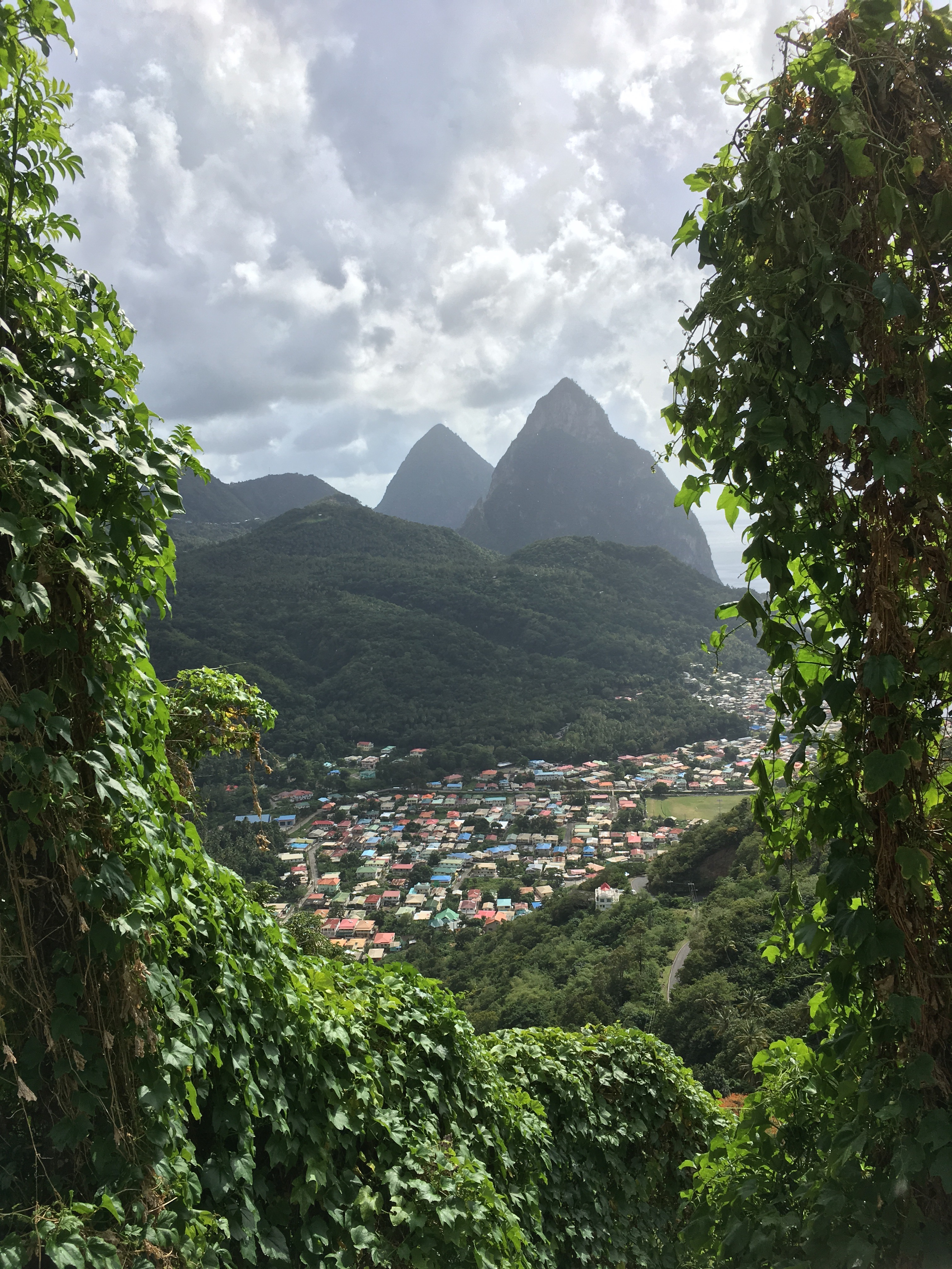
The Pitons towered over us as we arrived in Soufriere. The Pitons were pushed up beside the volcano, which last erupted about 3000 years ago.
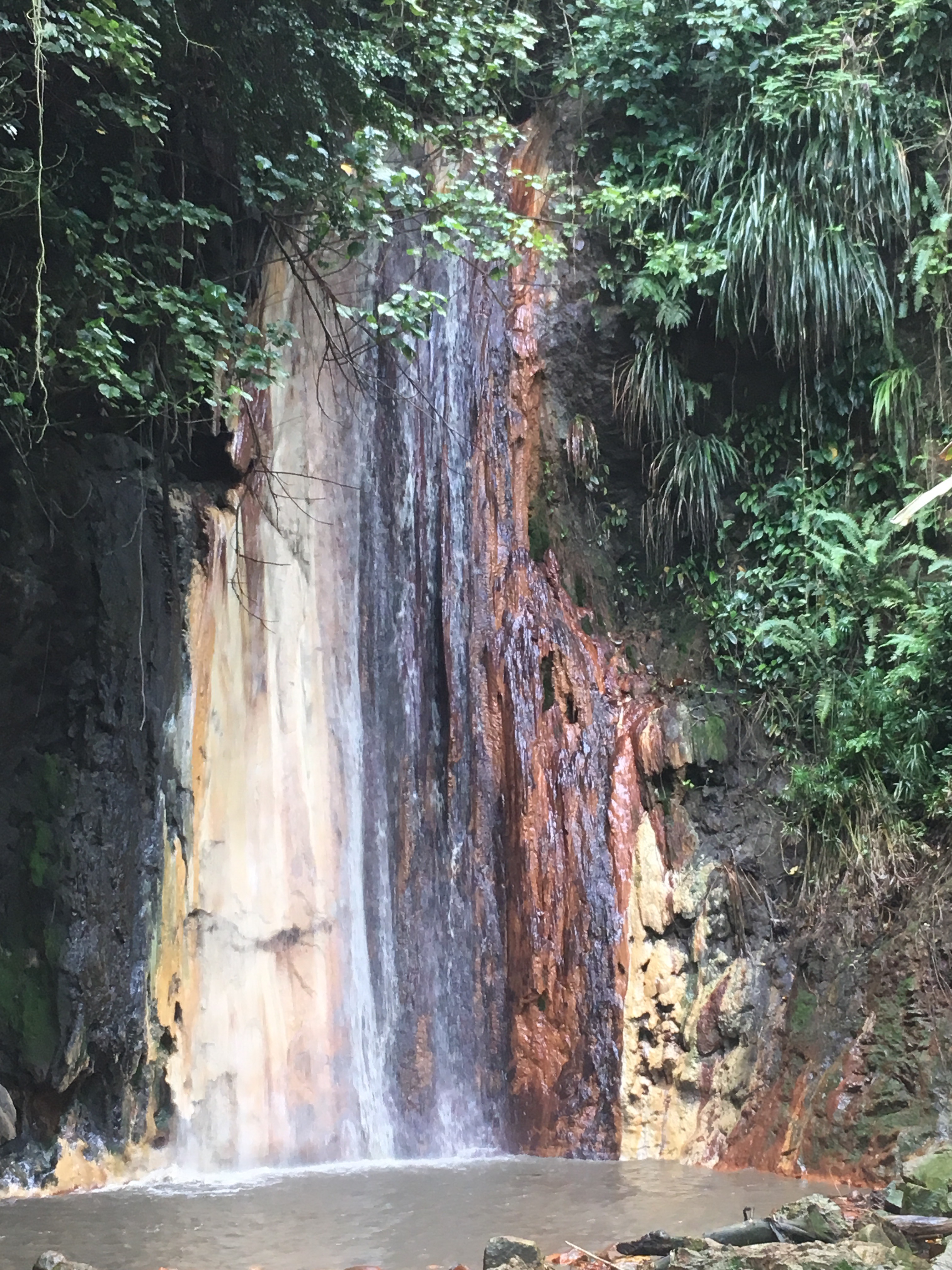
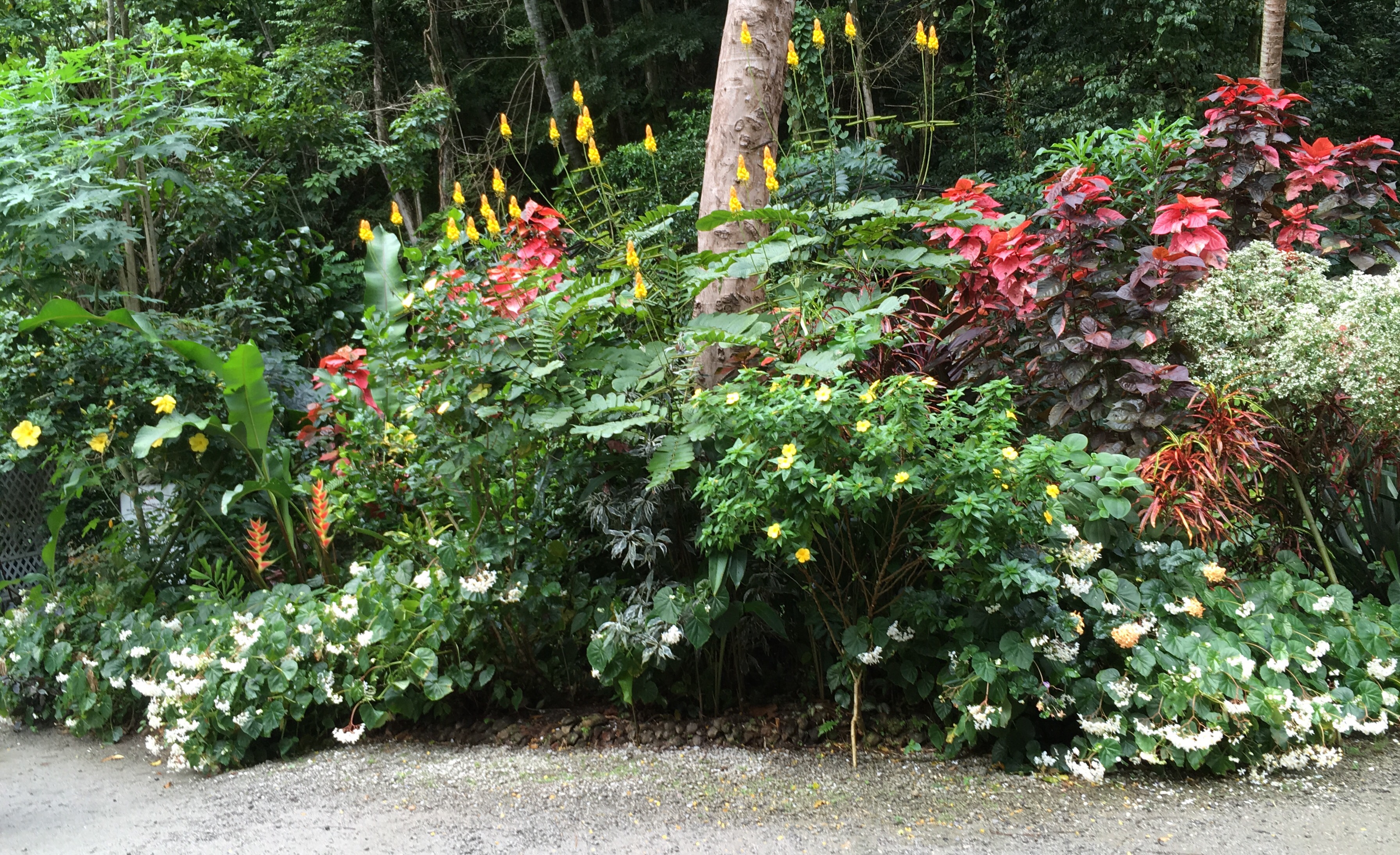
We had a tour of a botanical garden, sometimes in the pouring rain. There was a great variety of plants also a waterfall over rocks that had been colored over the years by the mineral rich waters.


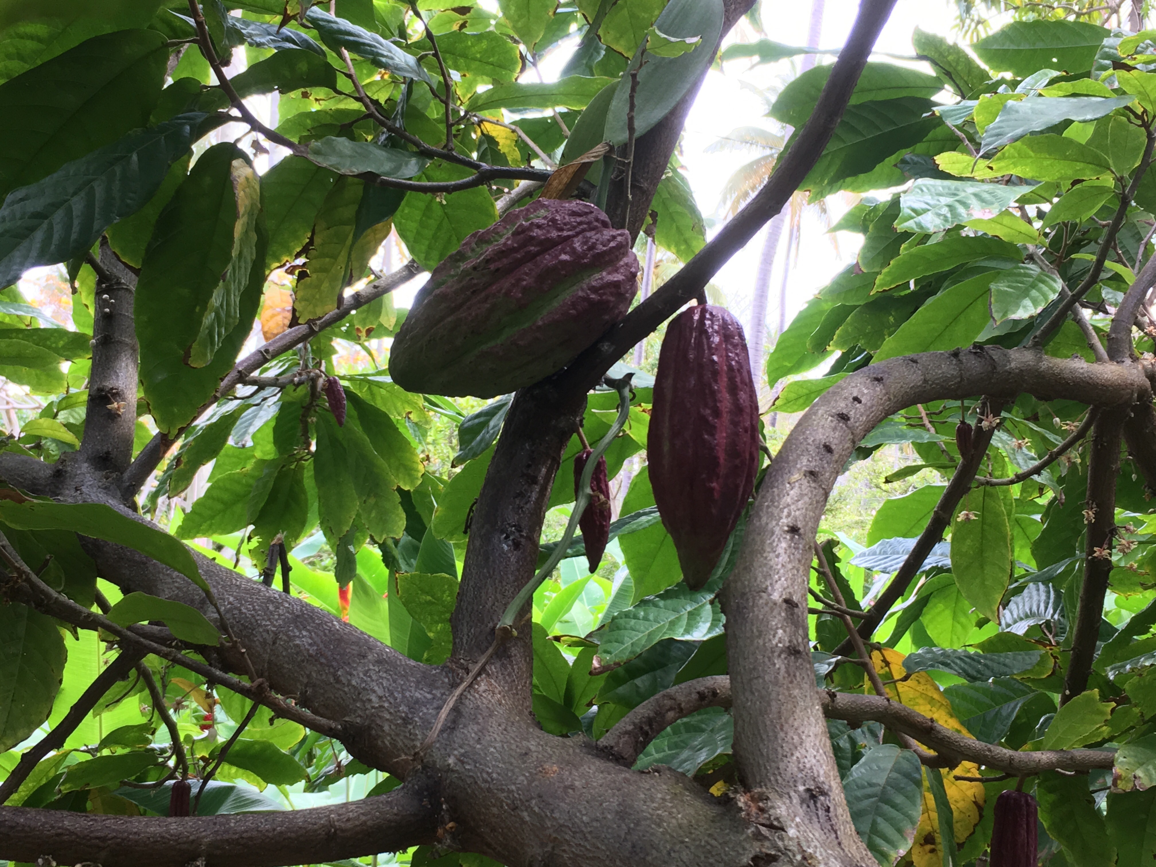
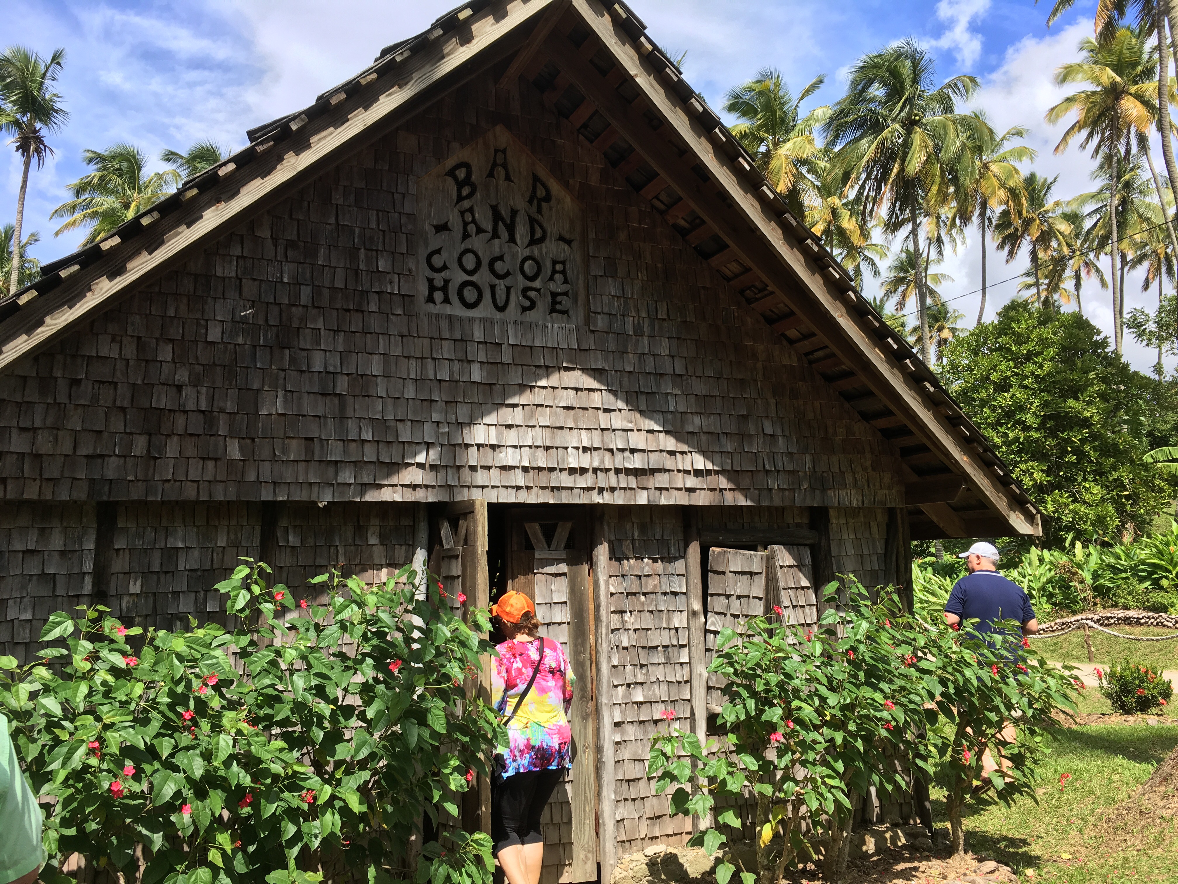
Our next stop was a working plantation growing coconuts, cocoa and coffee. 


Cocoa tree

The 3 buildings below were the sleeping rooms, living room and kitchen- all separate. 


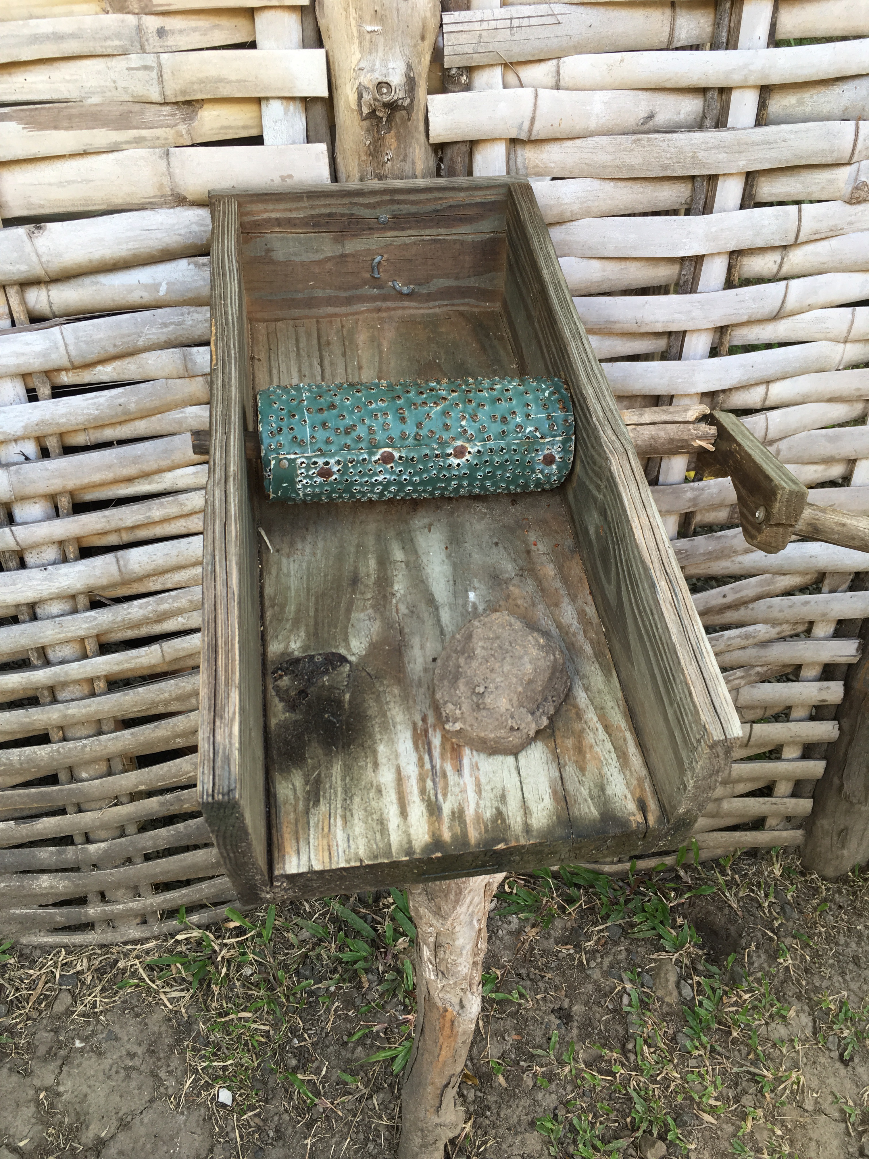
This device was used to peel the skin off the coffee beans before roasting.

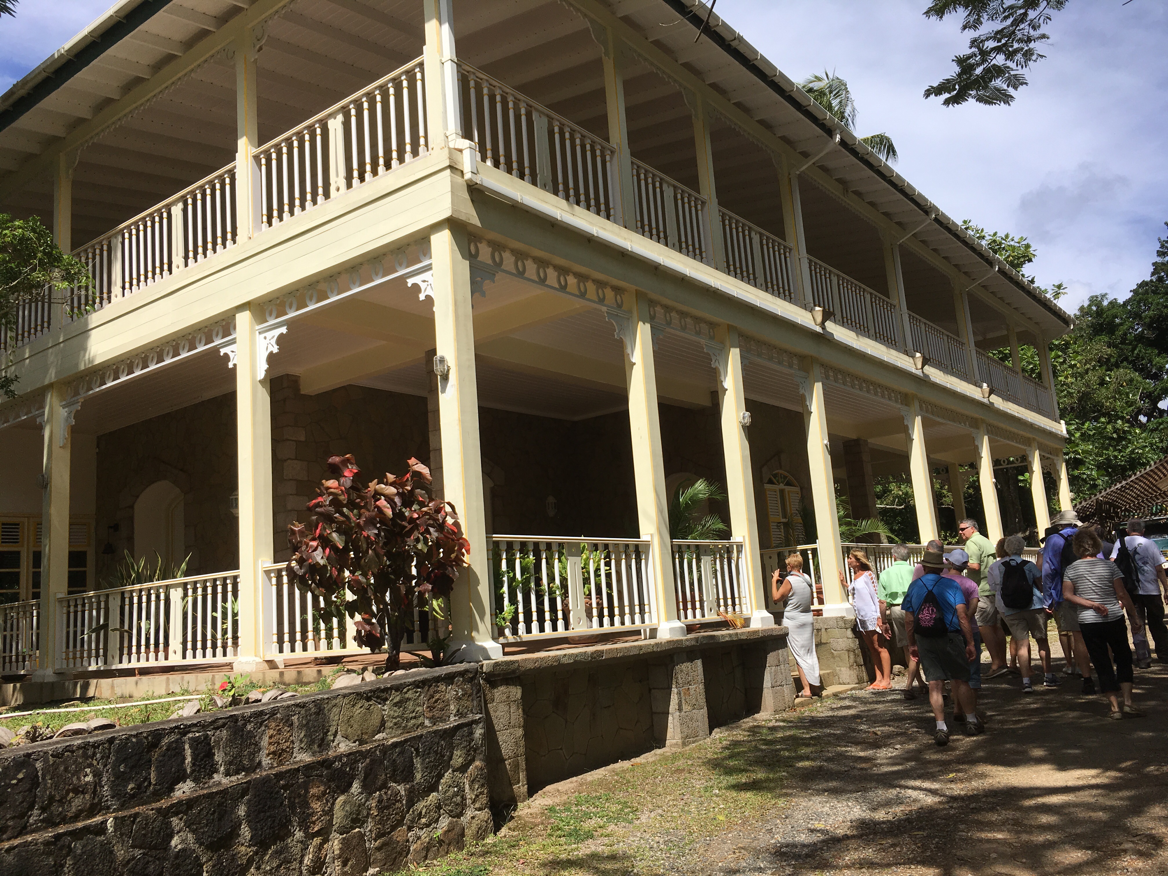
The plantation is currently owned. U a French family who come over for holidays each year. Their new plantation house looked beautiful but was not open for touring.


We tasted the coconuts and had lunch.

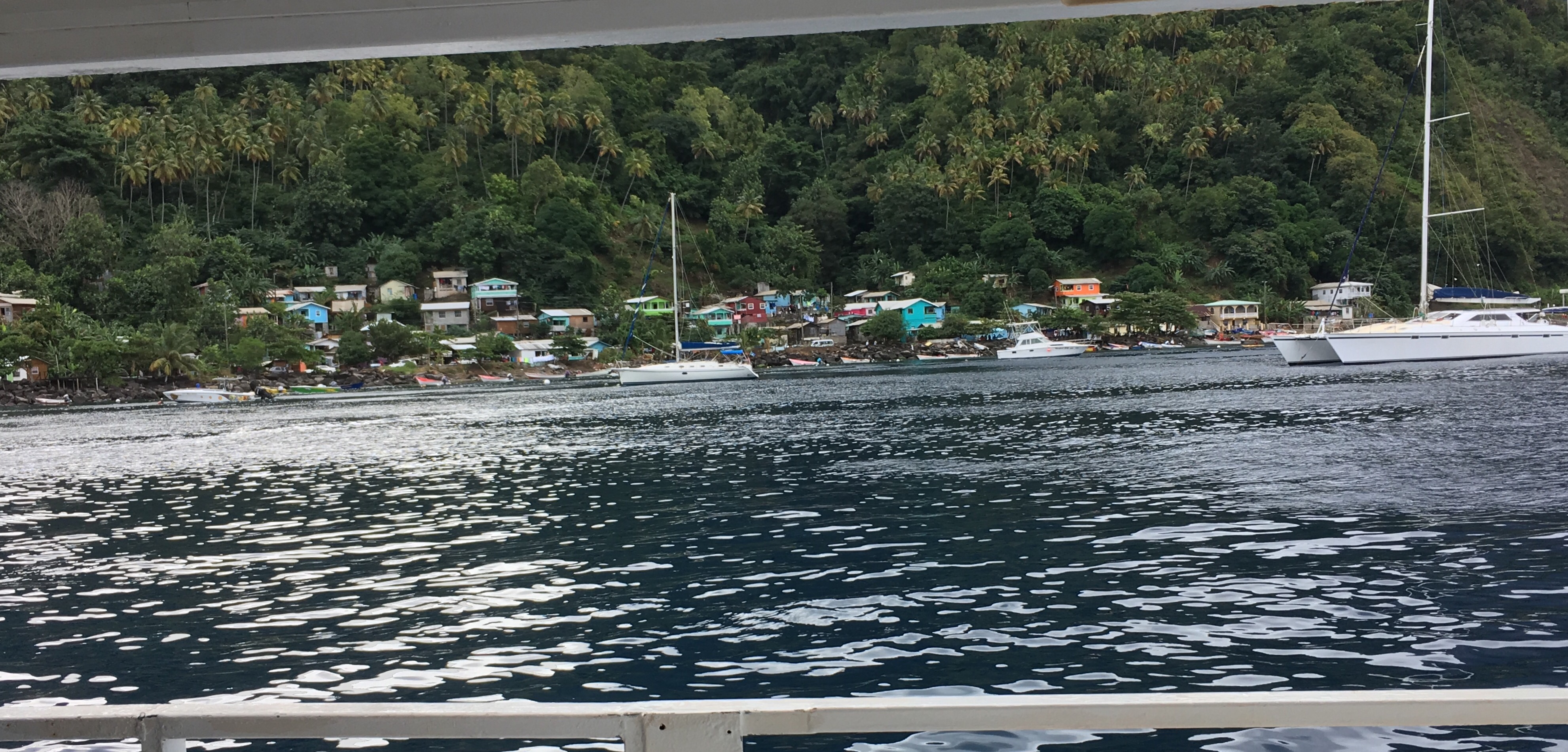
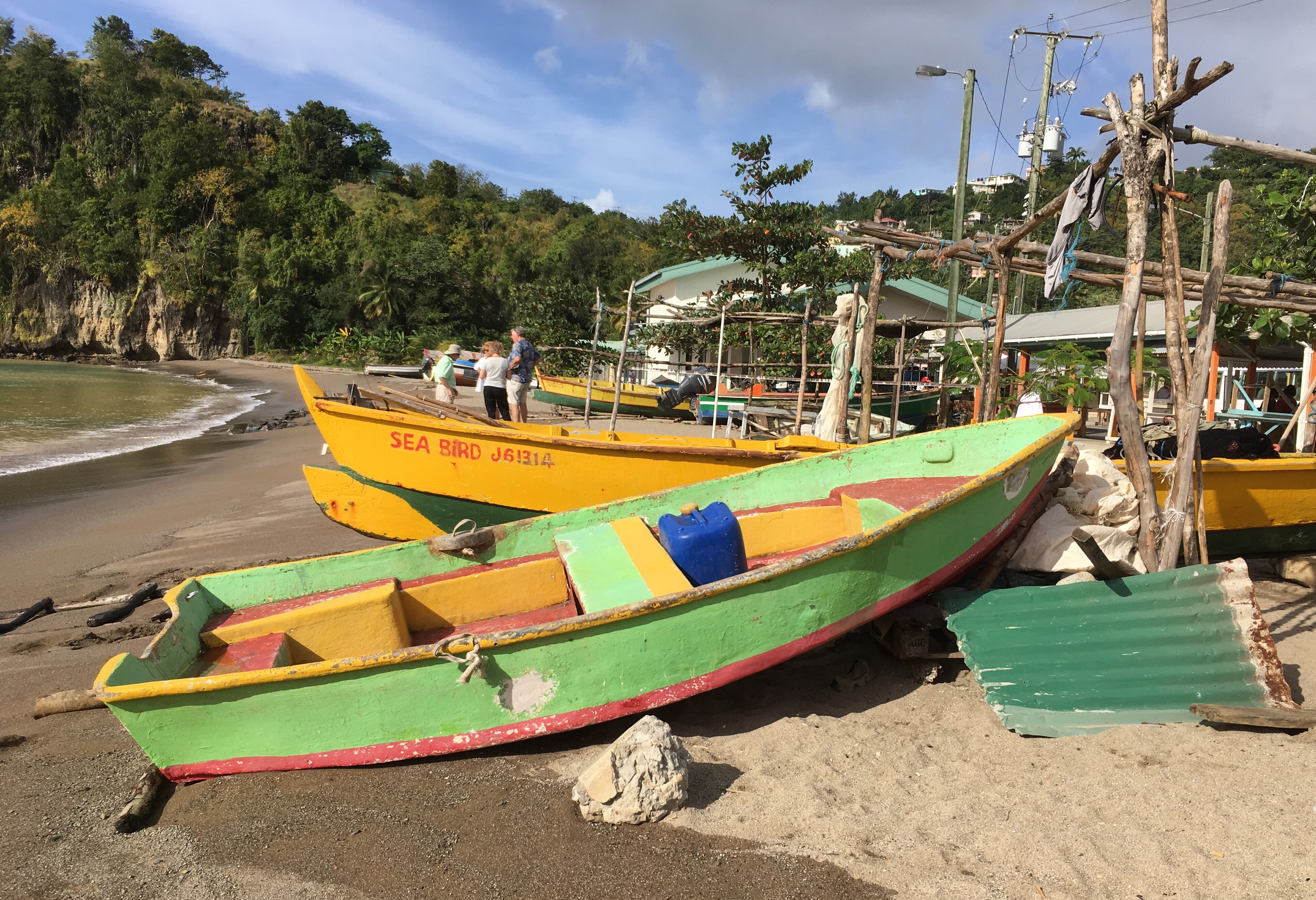
We then got onto buses for a drive along the mountainous terrain on our way back to Castries stopping for pictures at a couple of viewpoints and at a couple of the fishing villages.


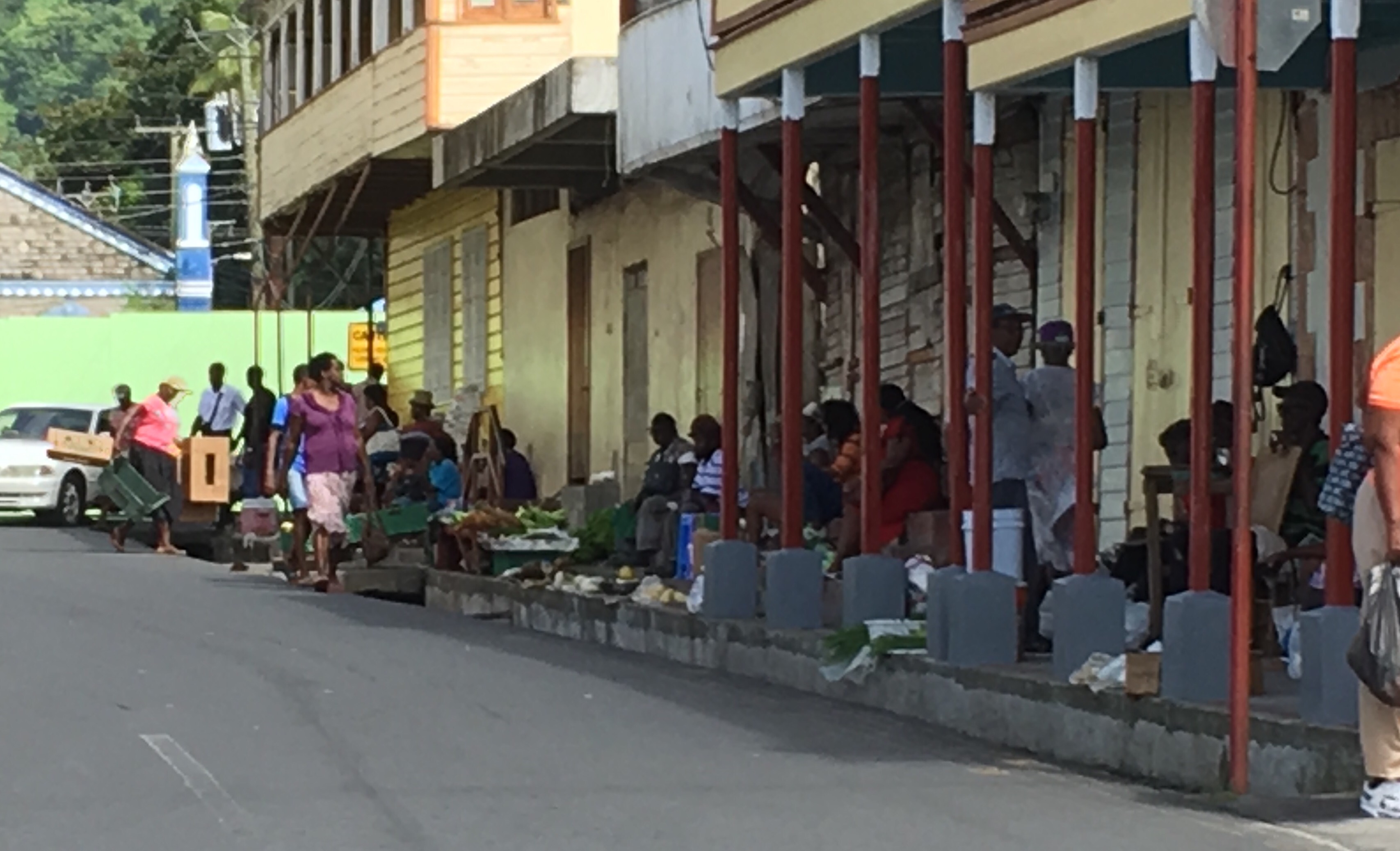
Soufriere market


Overlooking Soufriere.


One of the fishing villages.


Returning to Castries

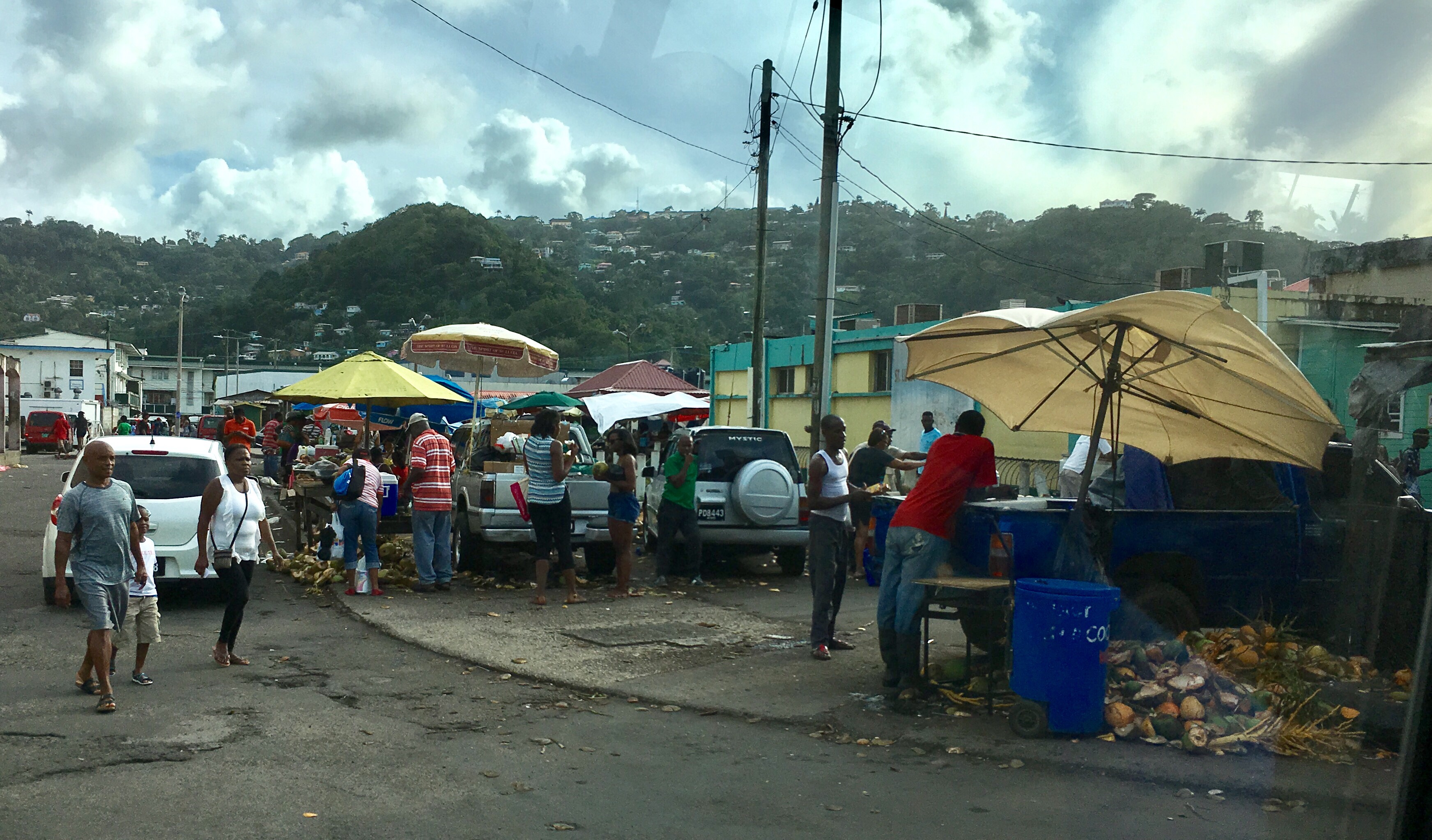
The Castries market

Posted in Uncategorized | 1 Comment

St. Barts Jan. 25

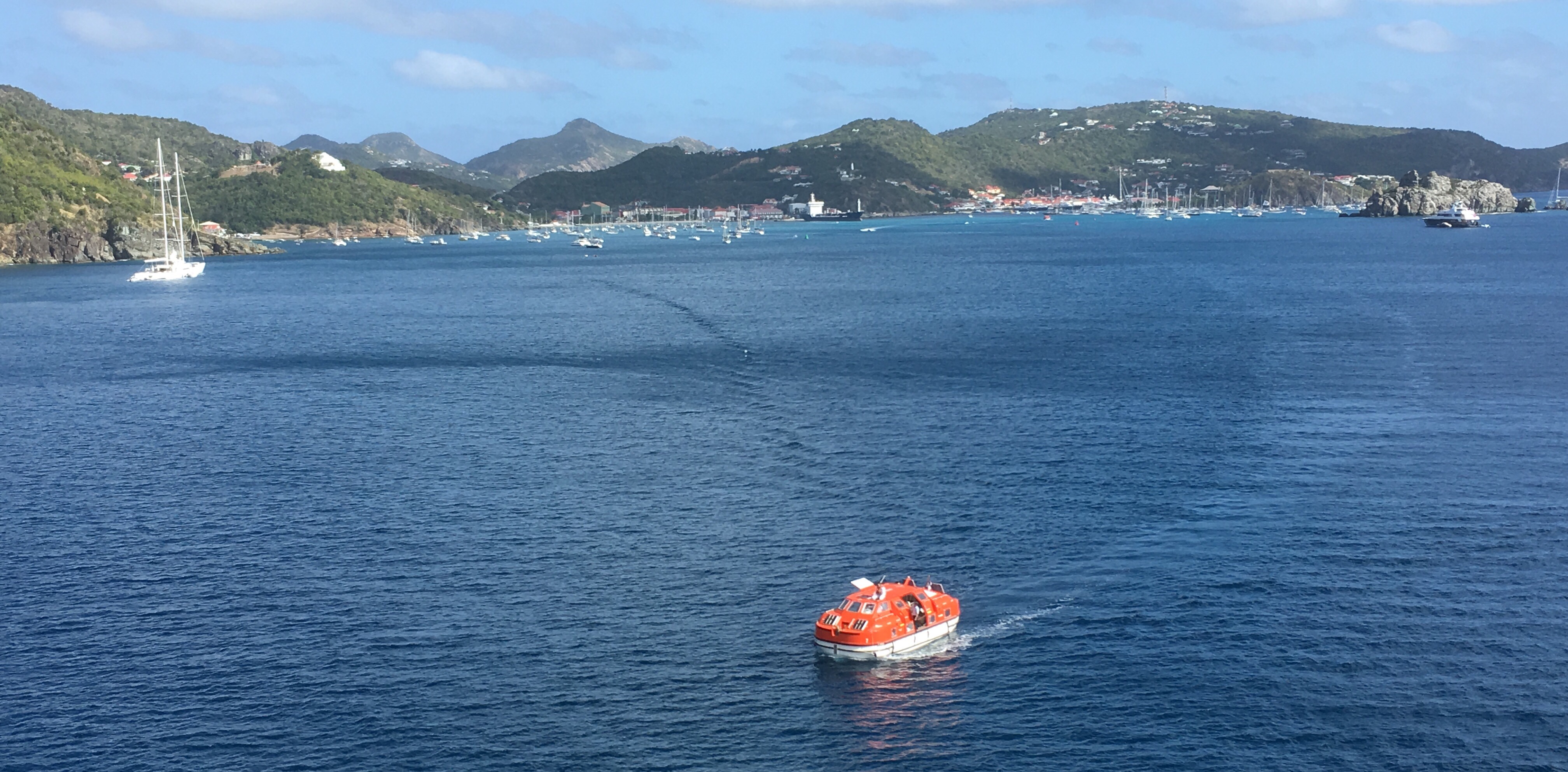
The view first thing this morning as we arrived at St Bartholemew

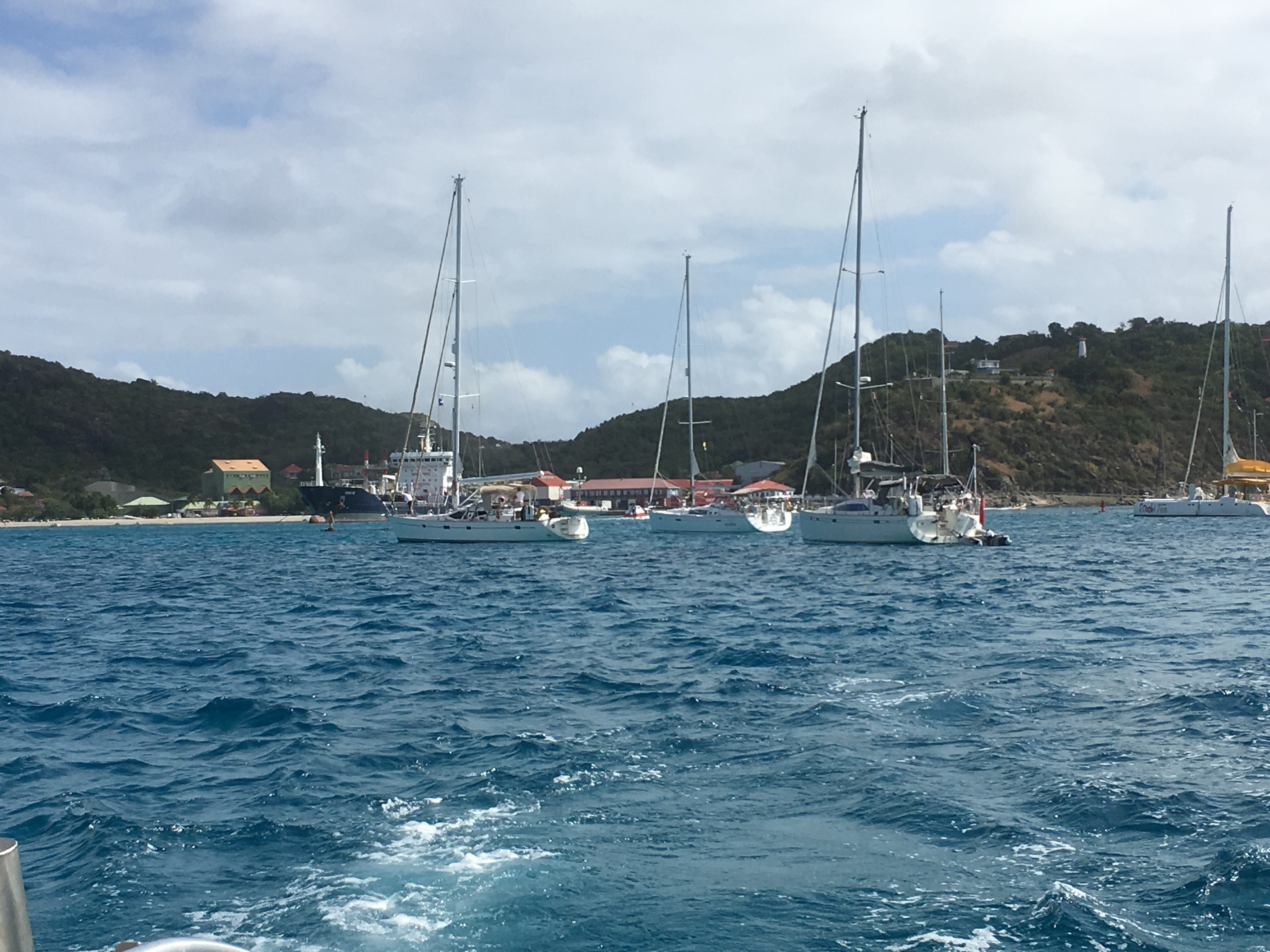
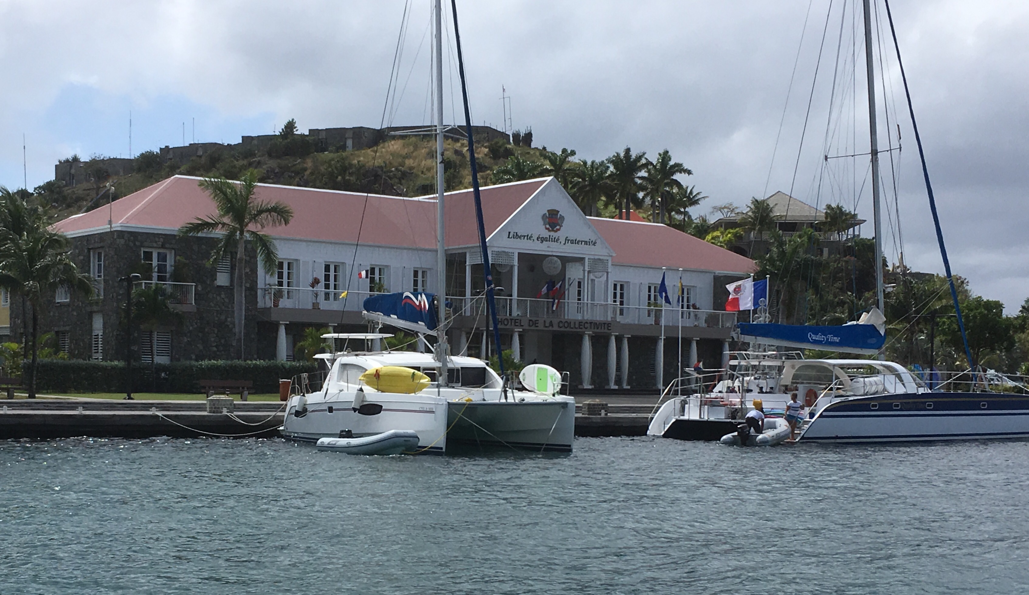
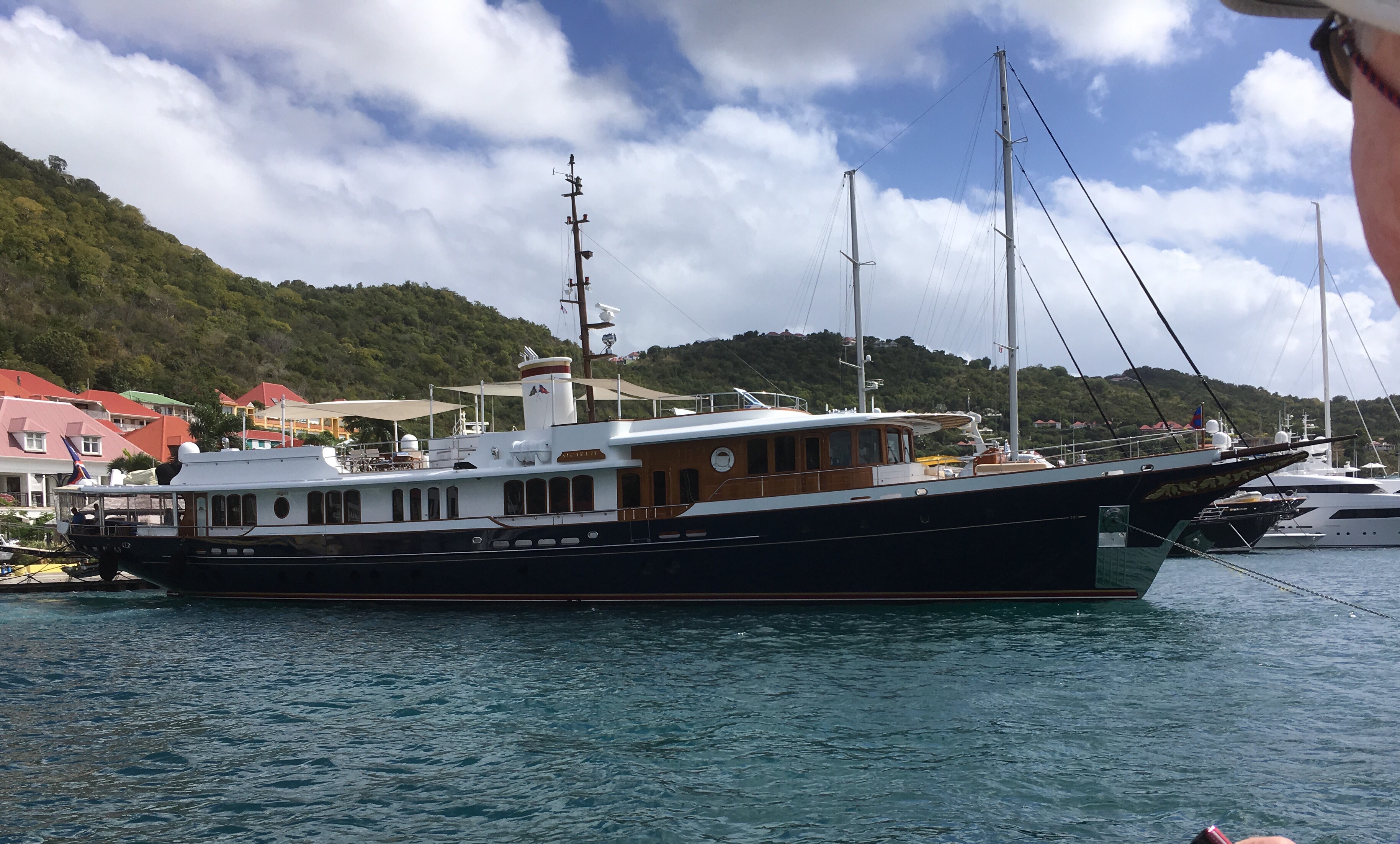
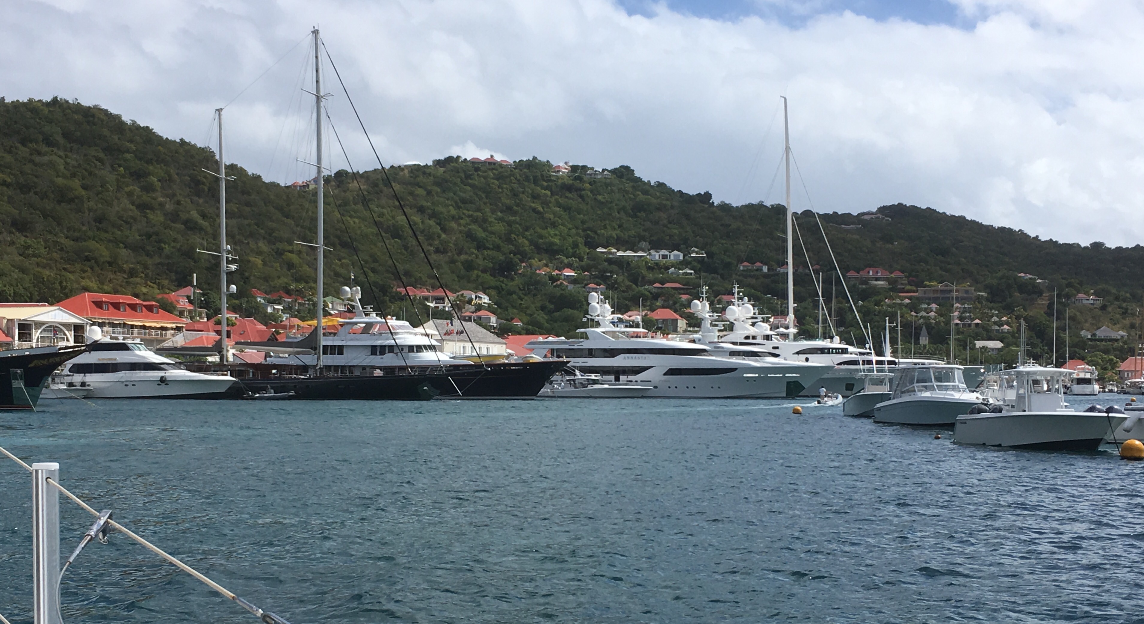
We had a great mooring overlooking the town & all the beautiful yachts.

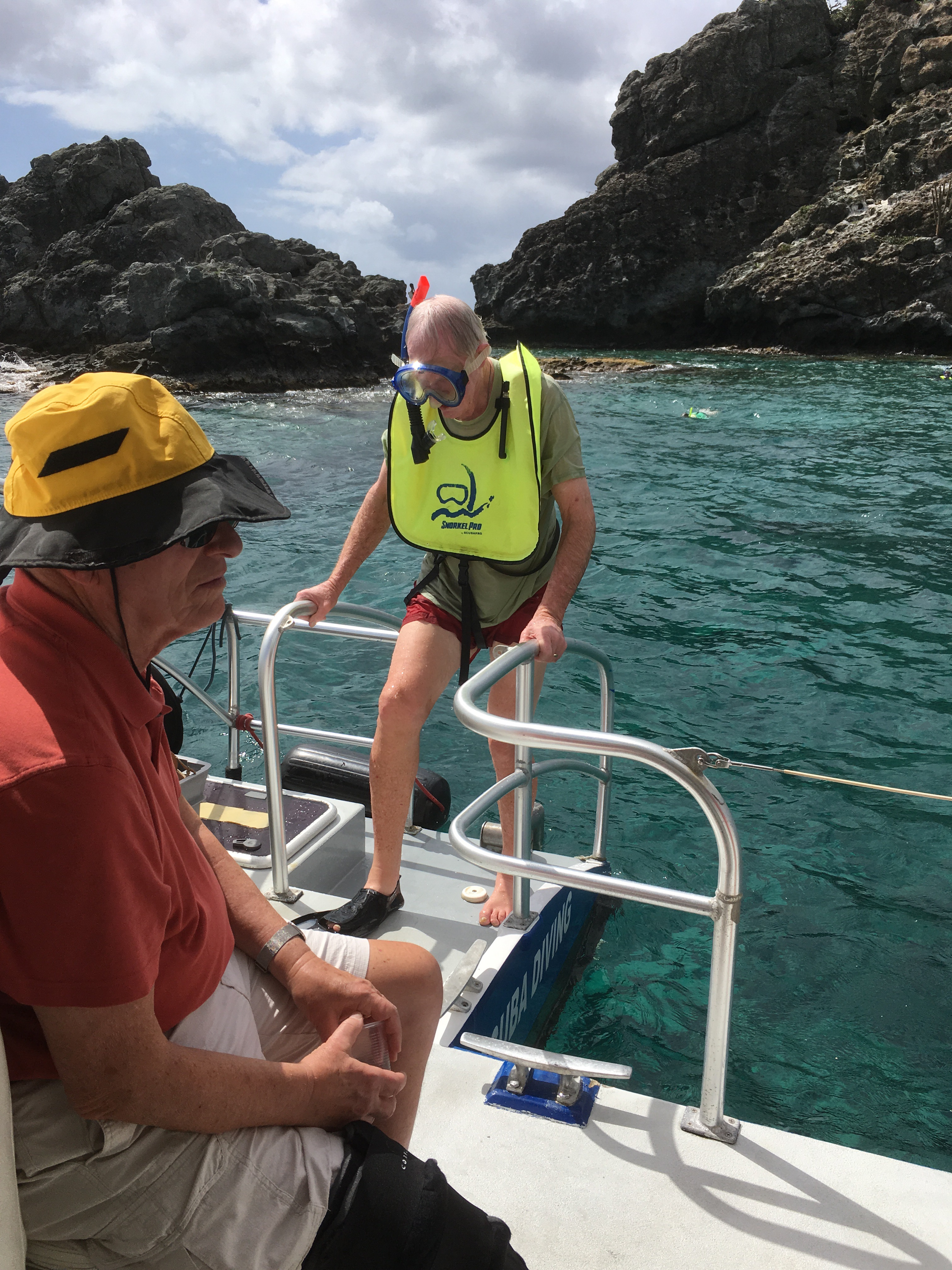
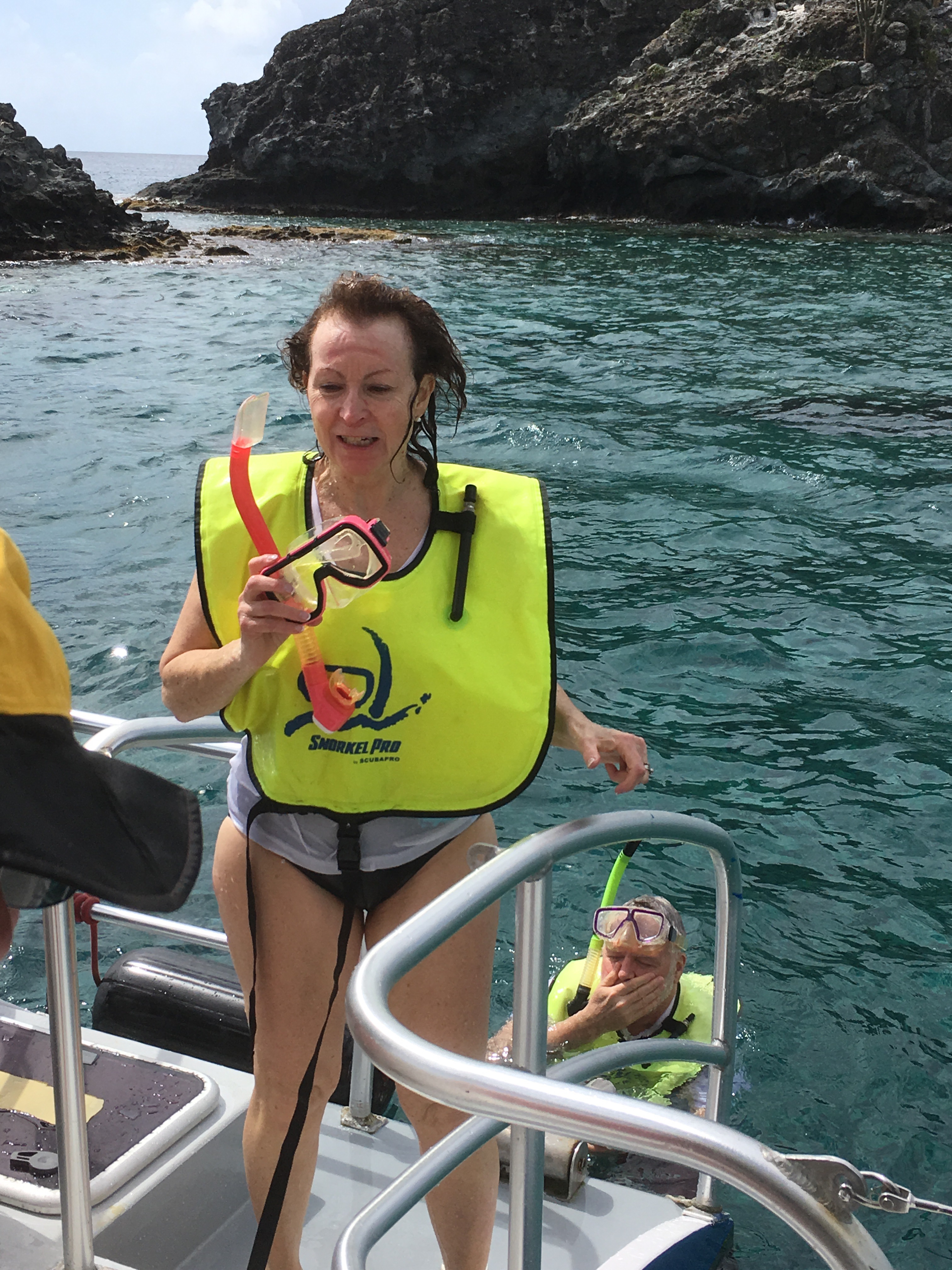
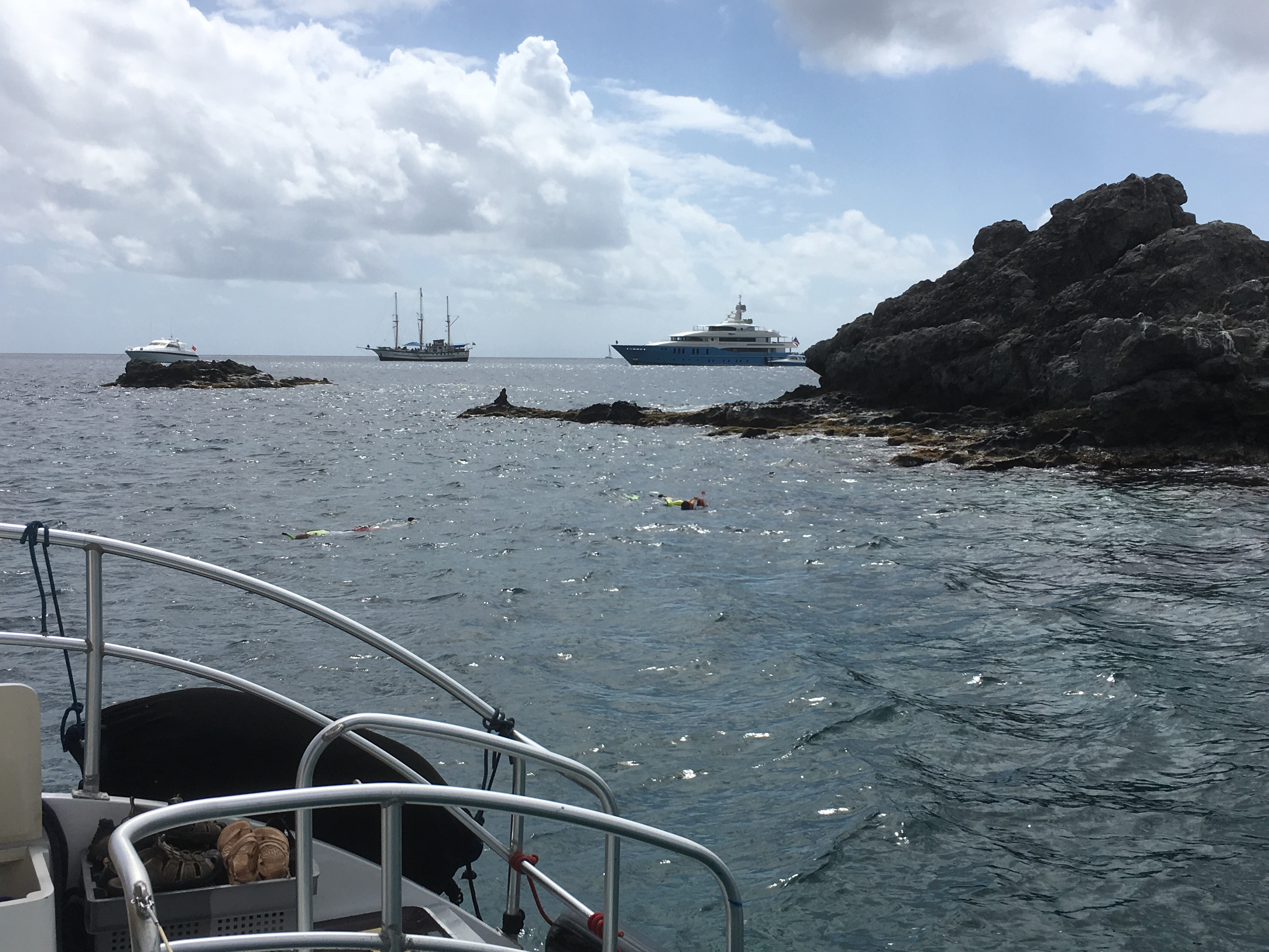
We had to tender in for our ride on a catamaran to snorkel 


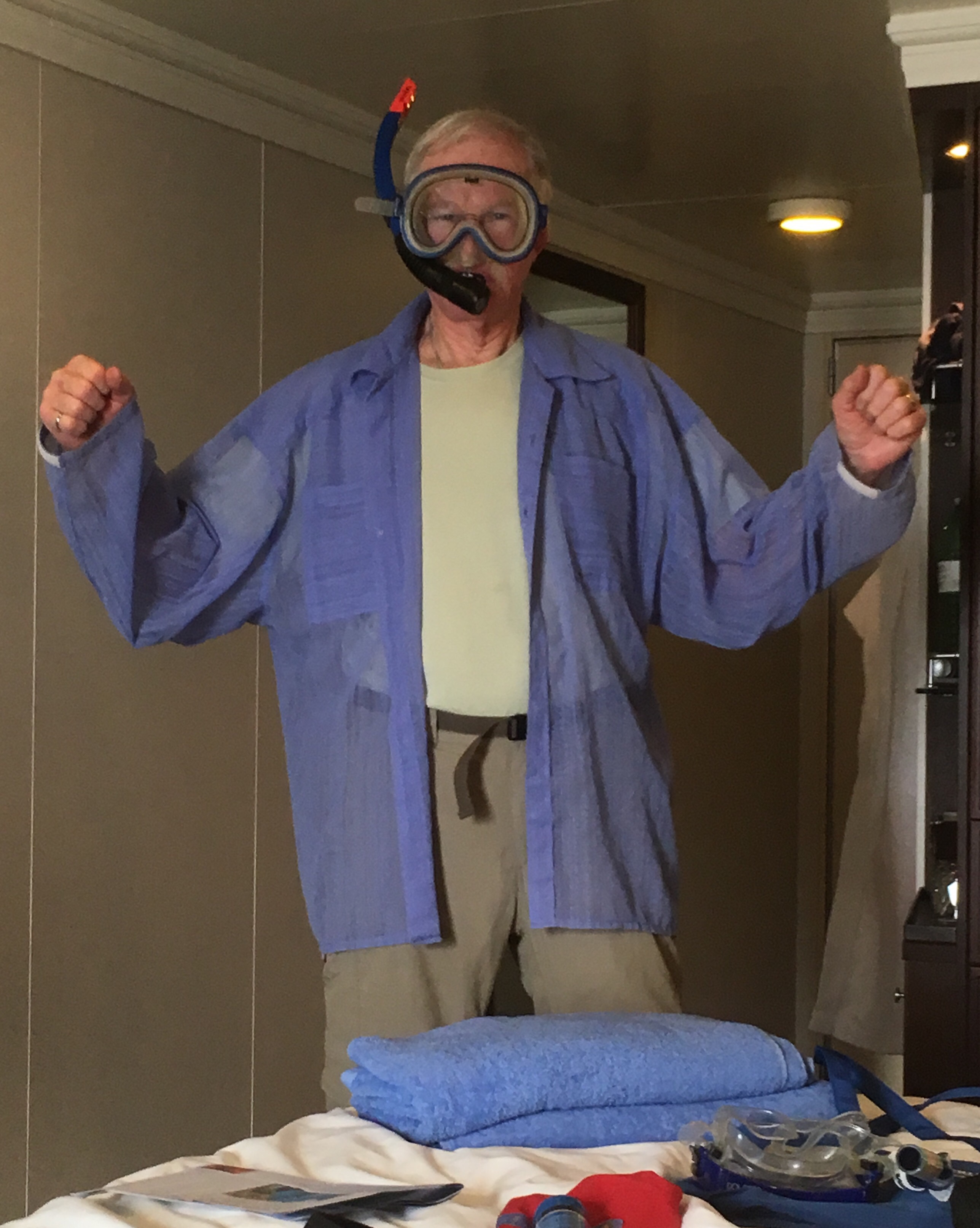
Gary after his snorkeling and here he is before


Pat, who hasn’t snorkeled in many years was in and out of the water in 5 seconds.

Rena & Dave were in there for hours, until Rena discovered rum punch was being served

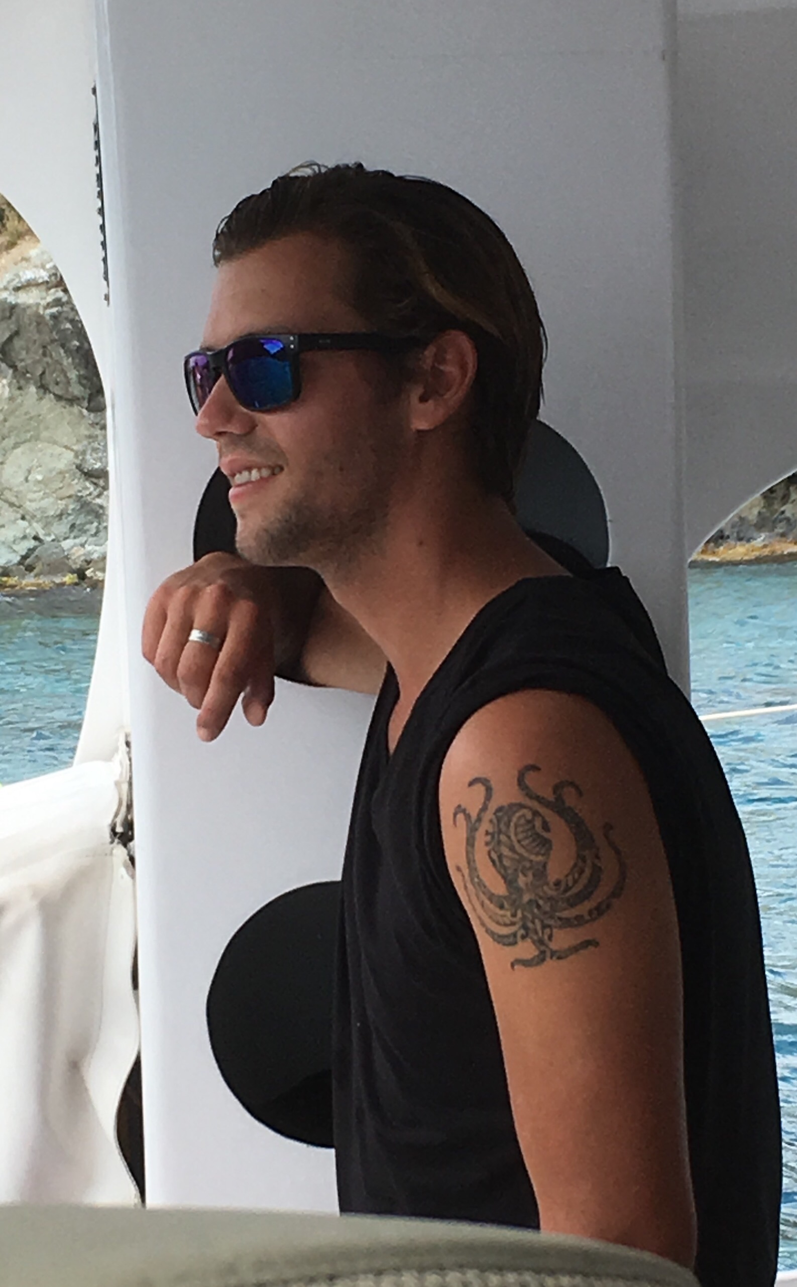
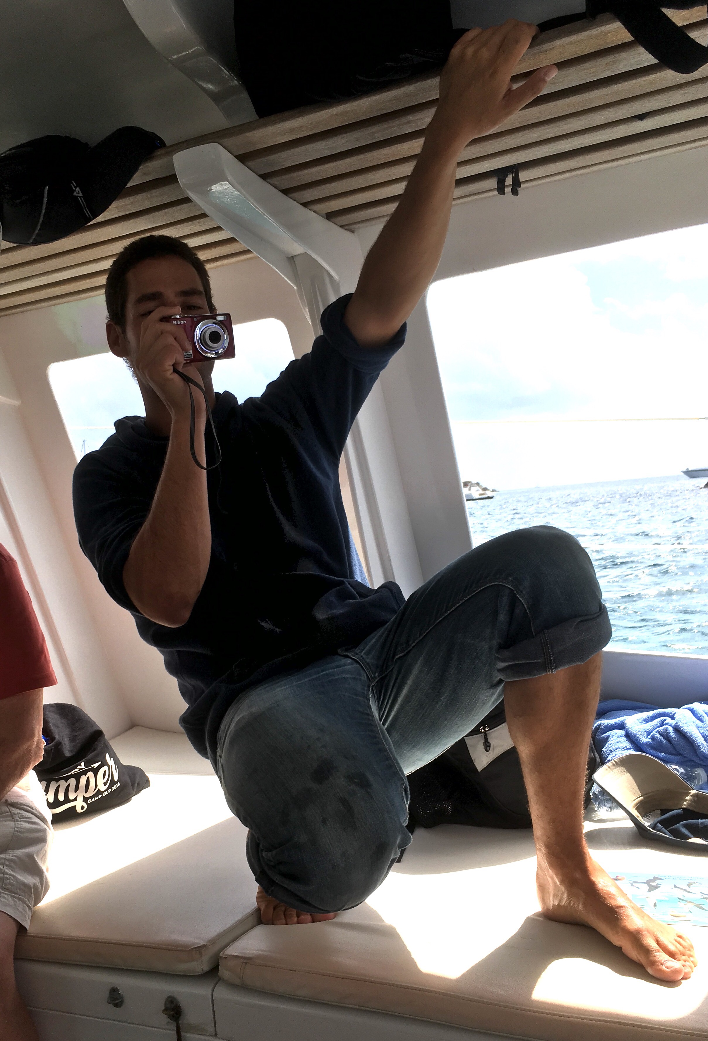
St Barts is part of France and uses the Euro. The town is mainly high end, tax free shops. It is a playground for the rich & famous, but we didn’t meet them. Our crew on the catamaran was 2 handsome, young Frenchmen. Brothers, one lives in France, the other in the US


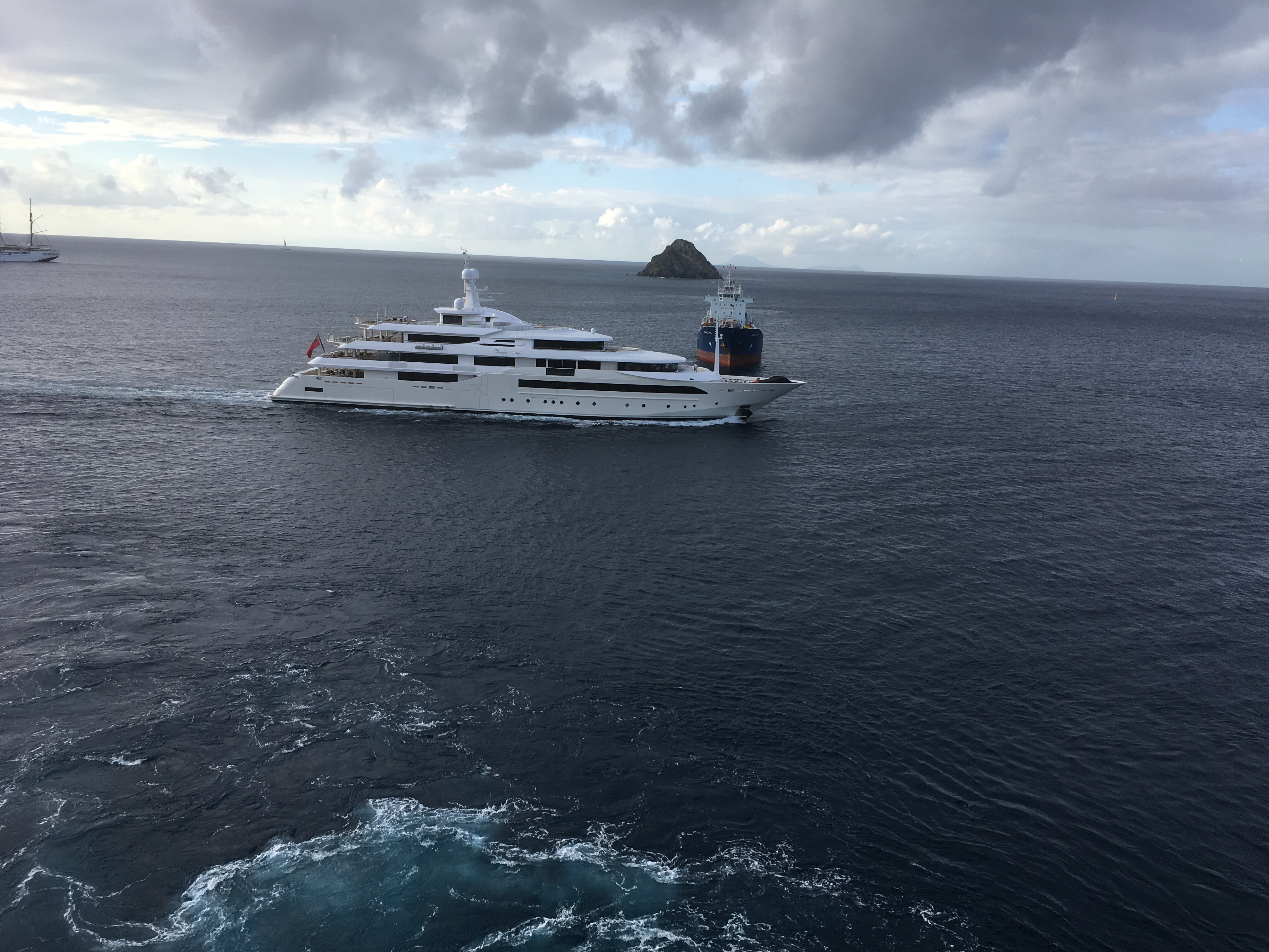
Lots of big yachts!


Posted in Uncategorized | 2 Comments

Pictures Jan. 25

W

What I made in cooking class


Rena ready to paint


Part one of the plate painting project.

The food at Red Ginger

Posted in Uncategorized | 2 Comments

January 24 & 25 At Sea

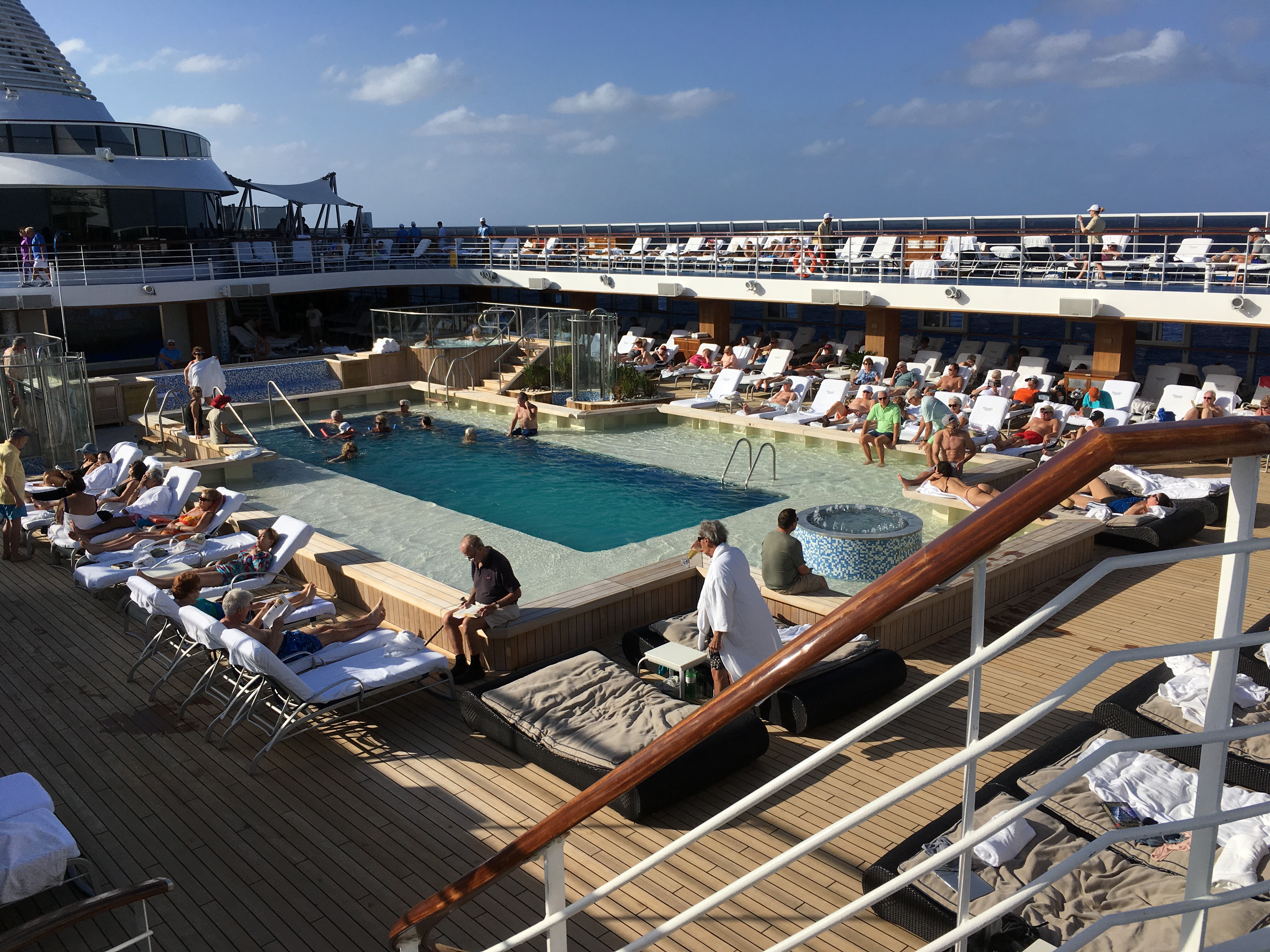
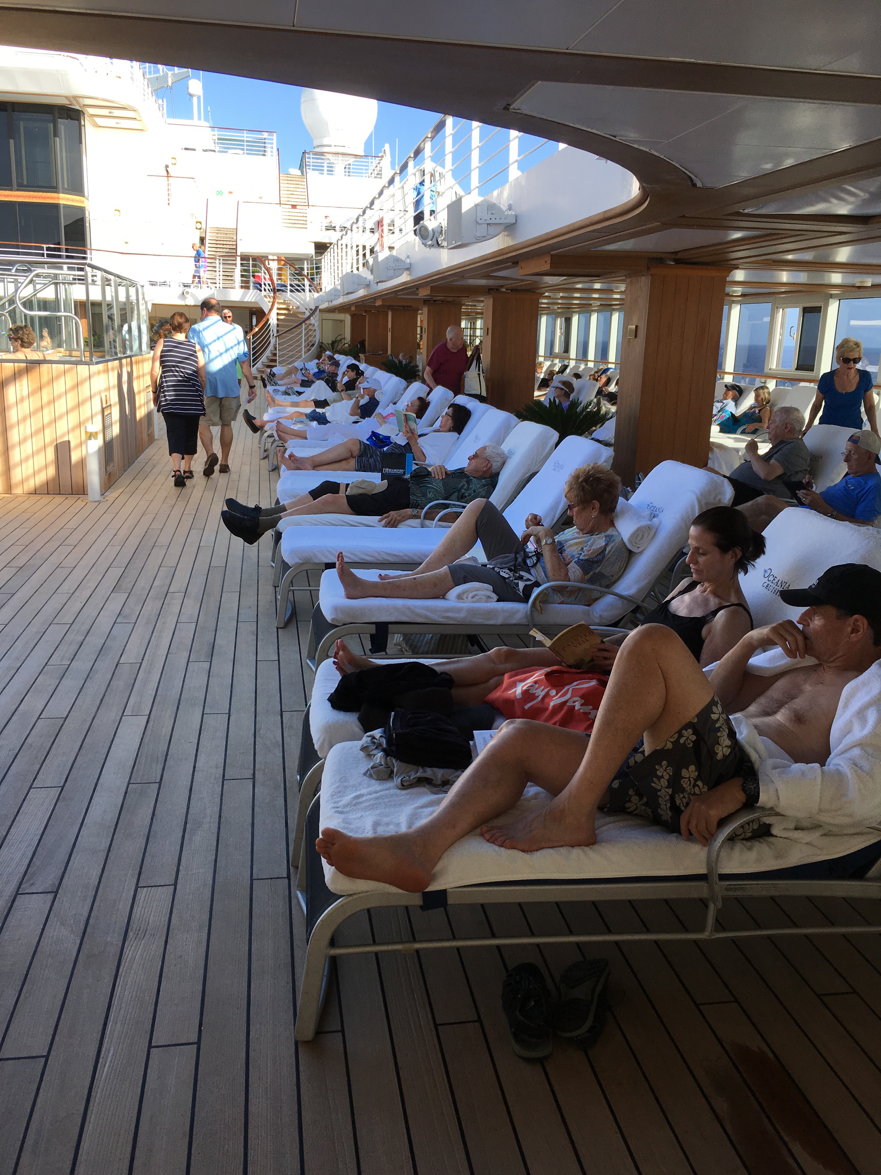
A great couple of sunny, warm days at sea. On the 24th we relaxed, ate, went to the gym, ate. The usual cruise ship day. Here are a few scenes around the ship:


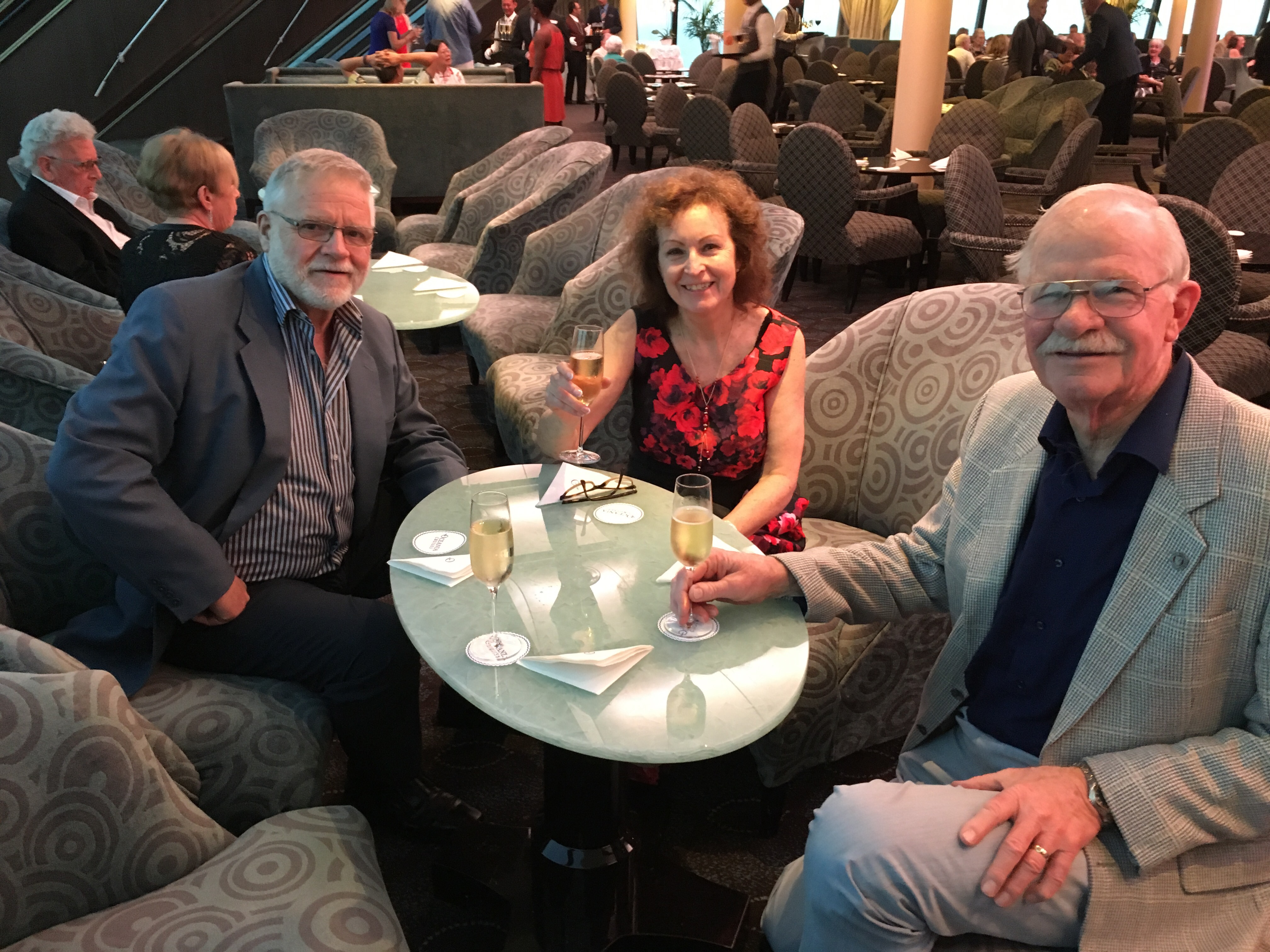
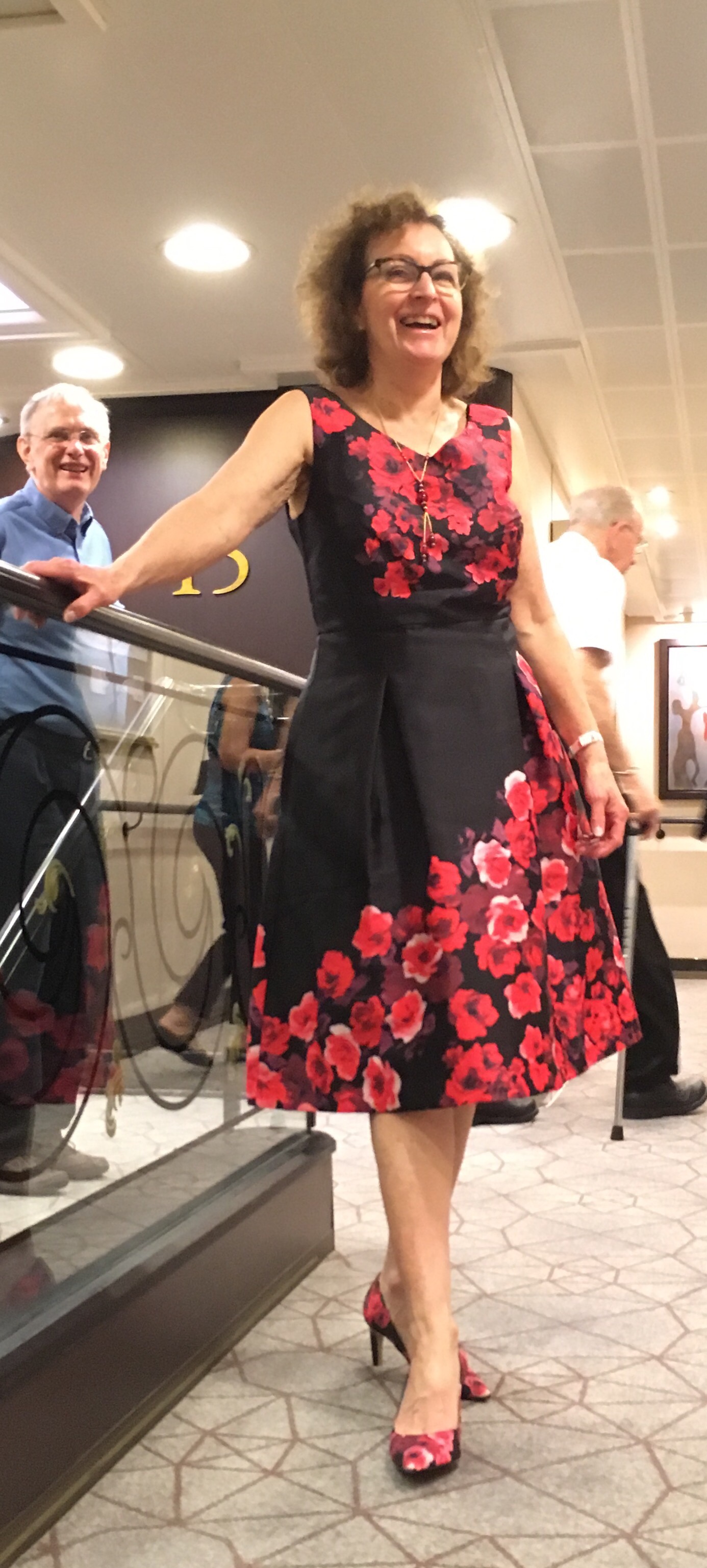
In the evening was the Captain’s welcome reception with free champagne and Rena dazzled the whole ship with her new outfit and matching shoes.


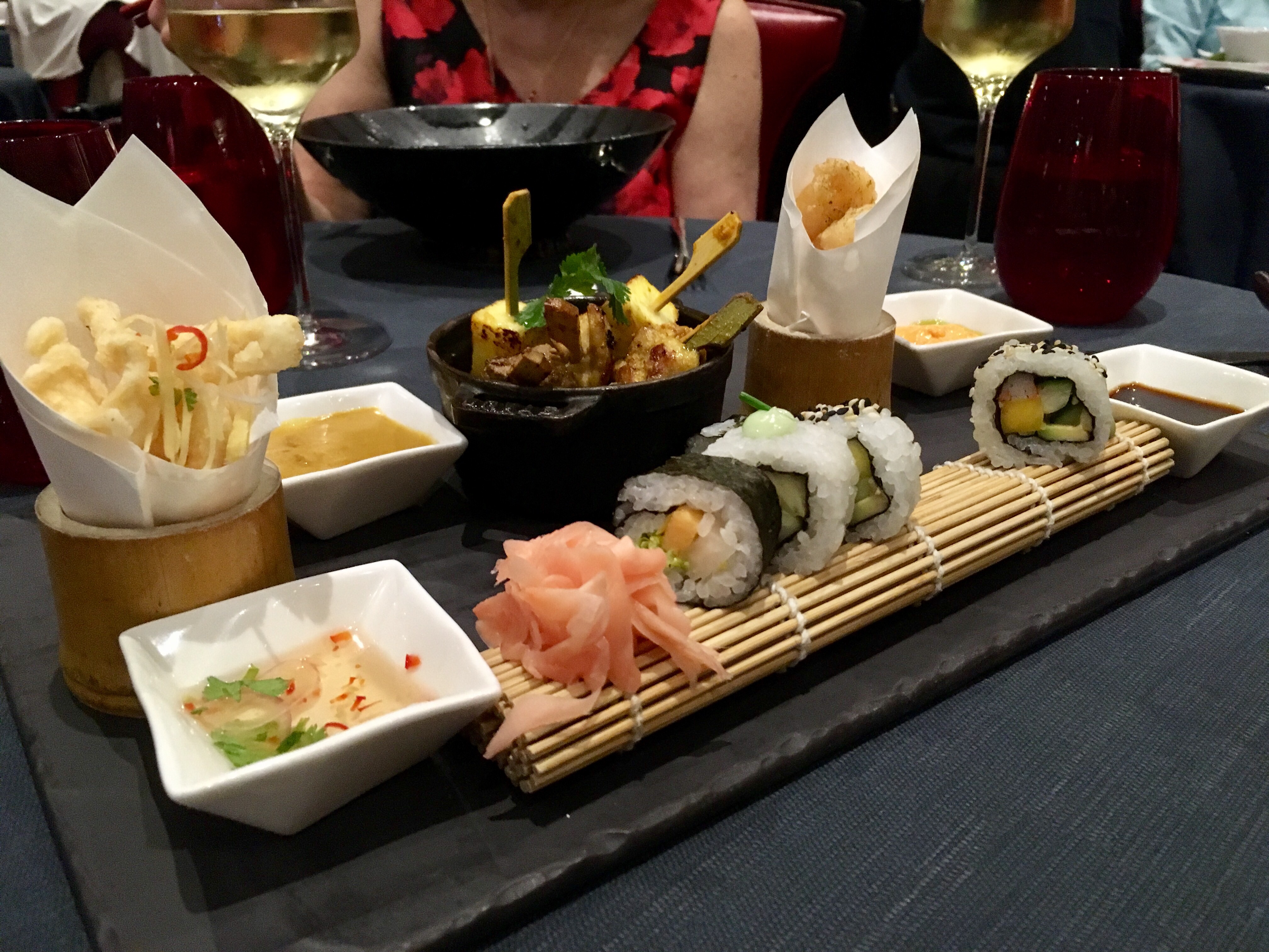
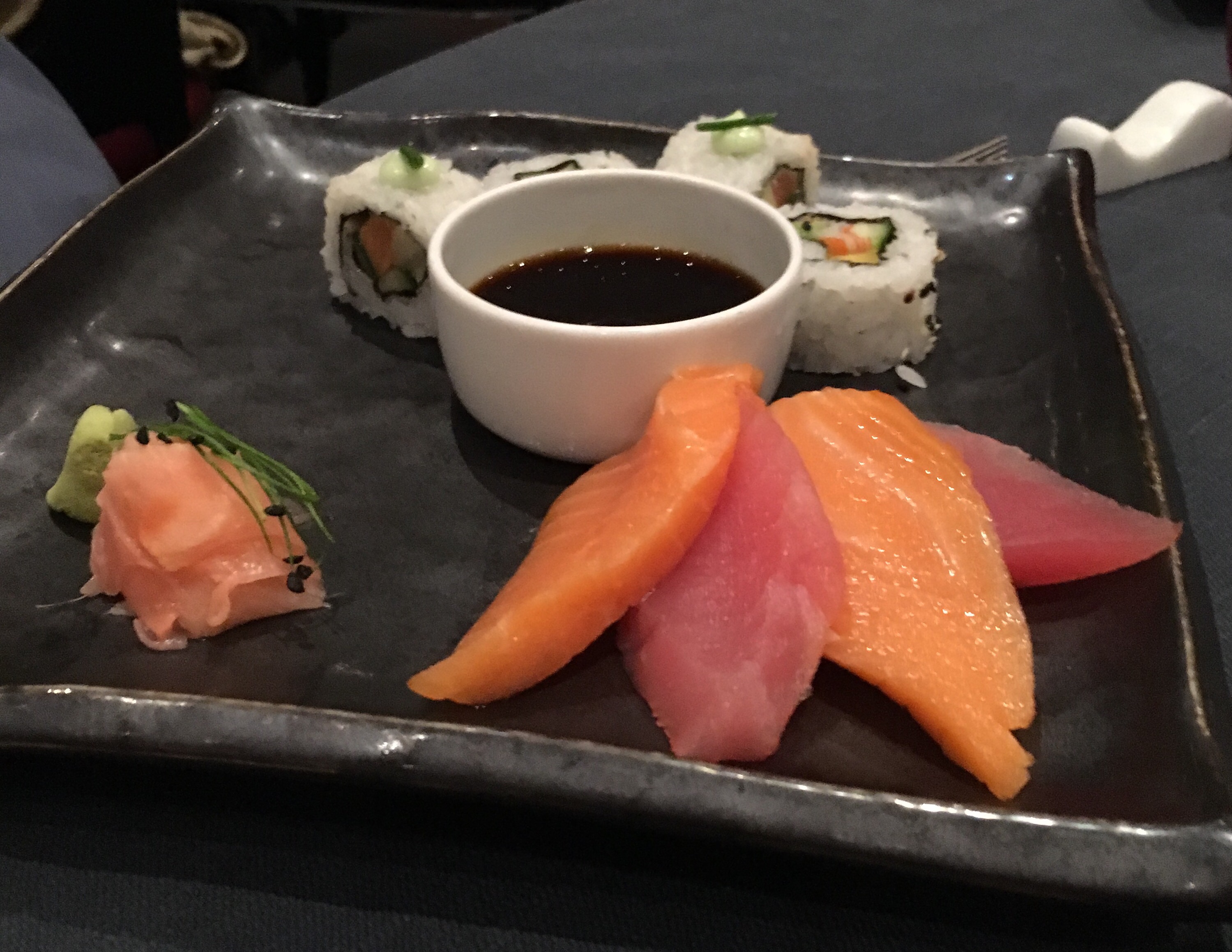
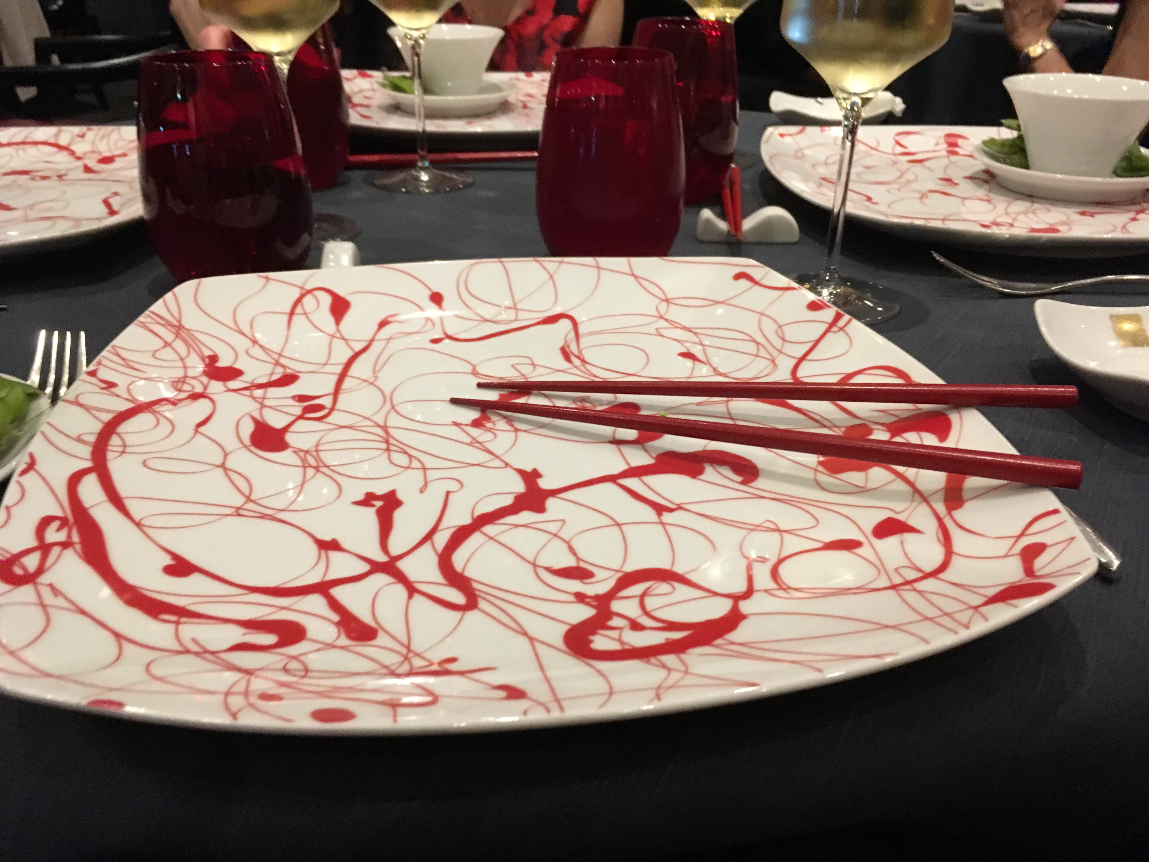
We had a wonderful dinner at Red Ginger, the Asian fusion restaurant.


The second day was more of the same plus Pat took a cooking class, Rena & Pat took an art class and went the formal tea. 

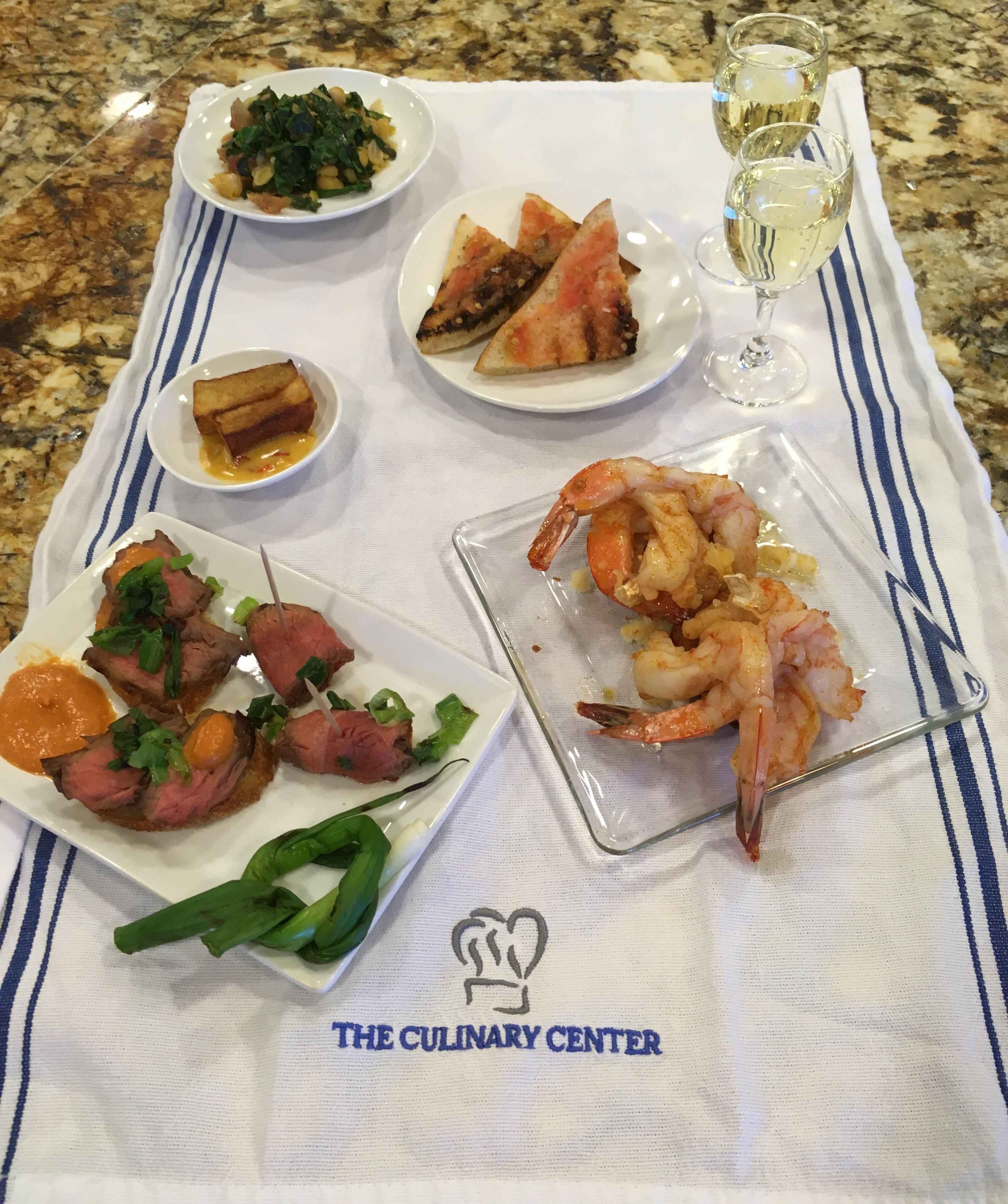
We did tapas in the cooking class and of course got to eat our creations.

I am having trouble loading the pictures, so I will post this and try to load more pictures separately.

Posted in Uncategorized | 2 Comments