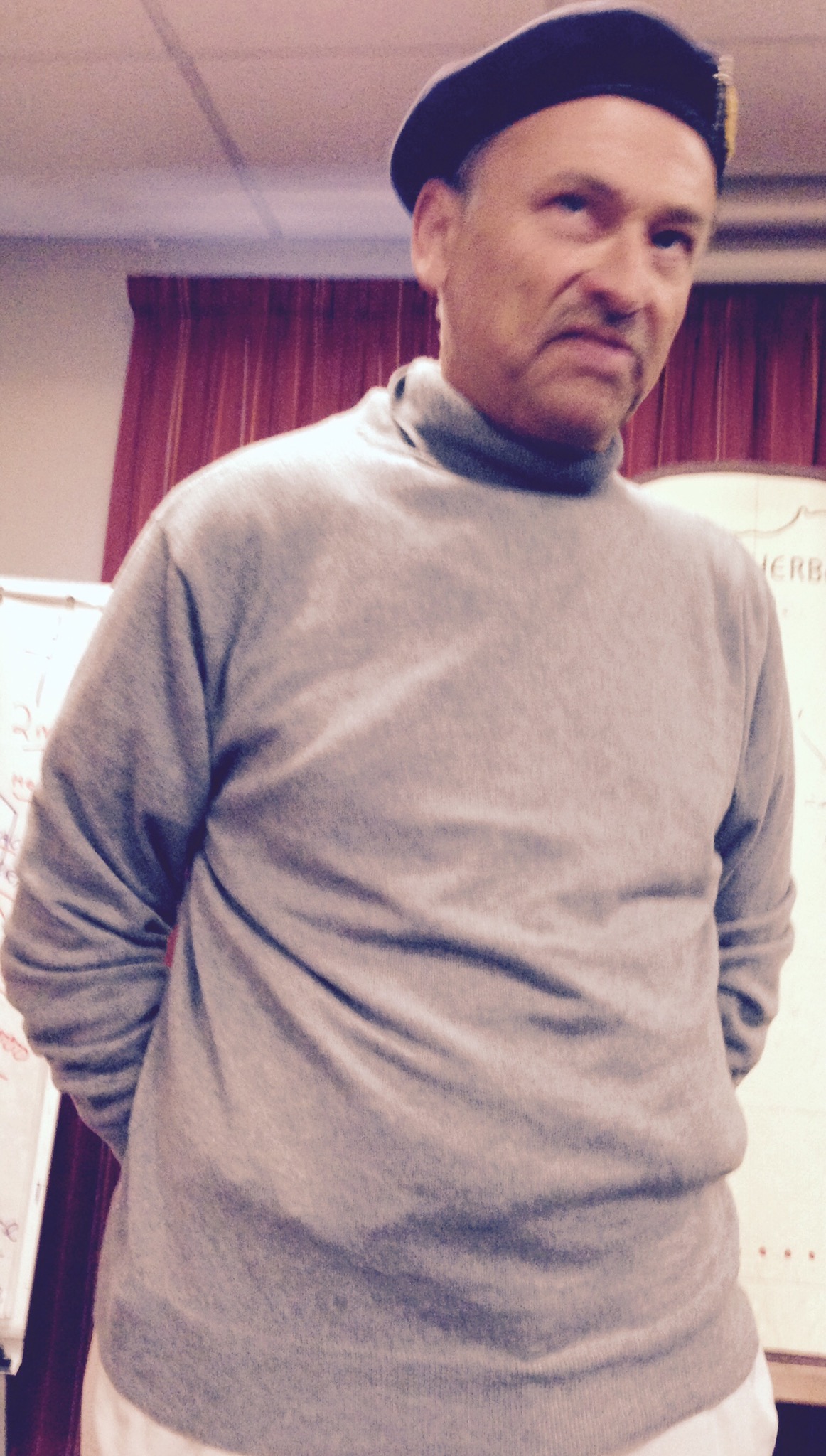
Last night our group had a lecture given by Monty, the Commander of the British and Canadian Forces. He was actually a WWII lecturer who came into the room and delivered a speech that Monty had given to the Allies Forces commanders on the eve of D-Day. He then gave us an overview of the D-Day operation and events leading up to it. He does an excellent imitation of Monty and of Churchill. So as we go through the day we hear from both of them at times.
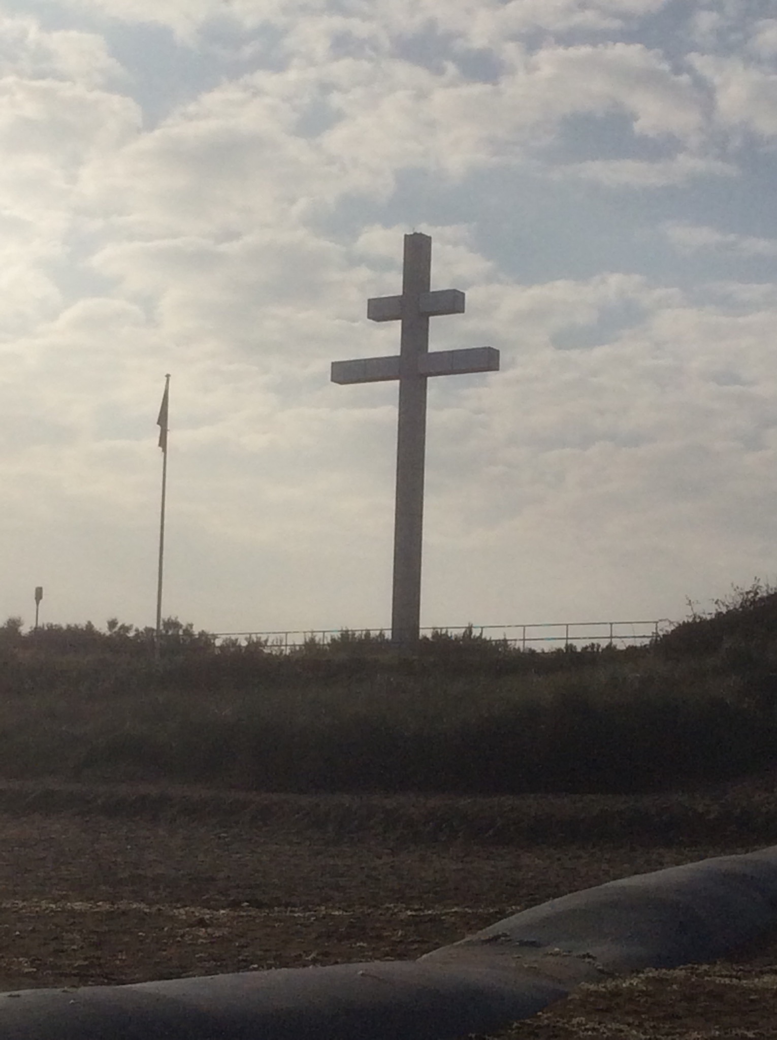
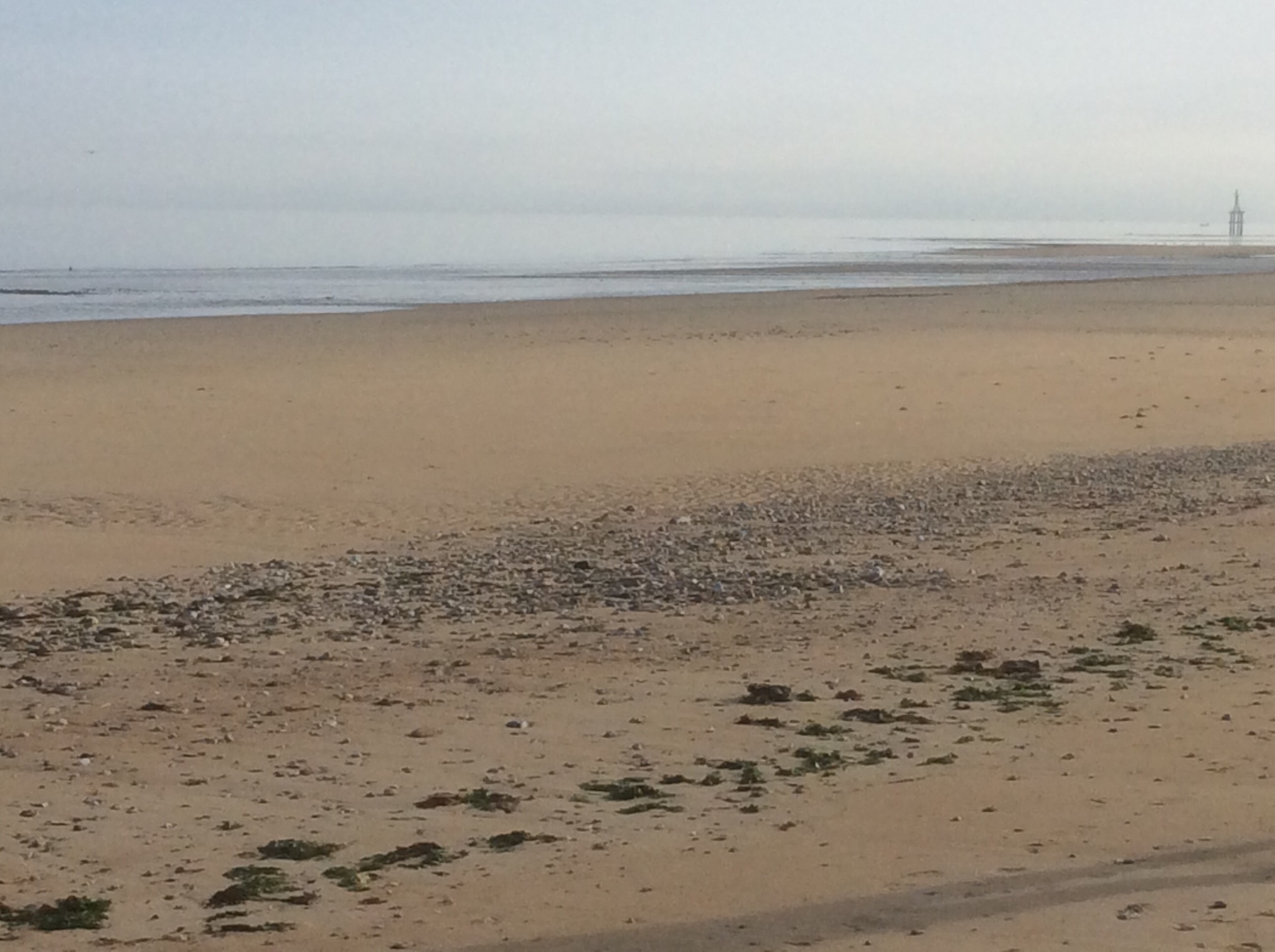
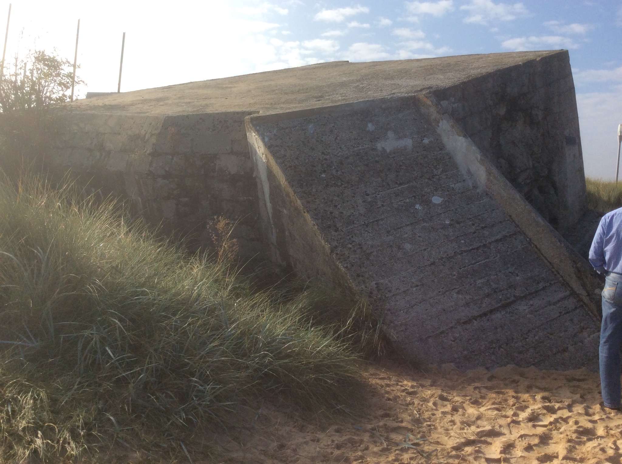
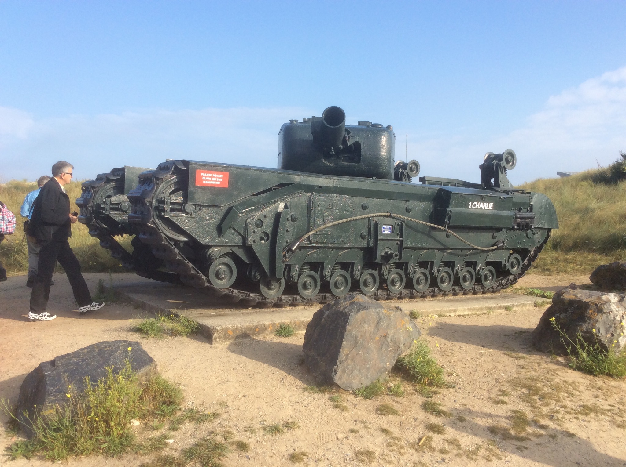
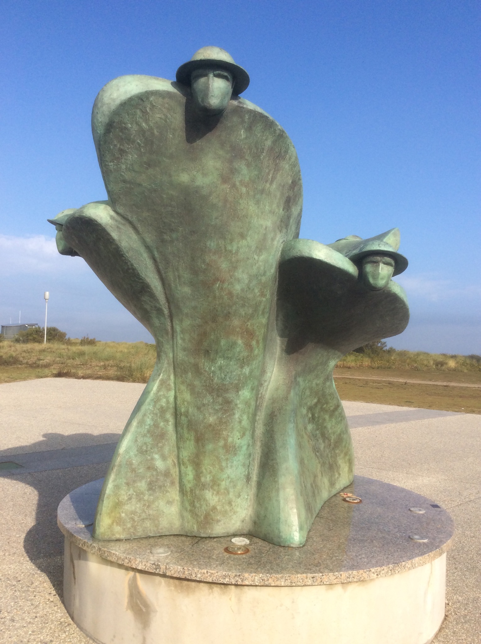
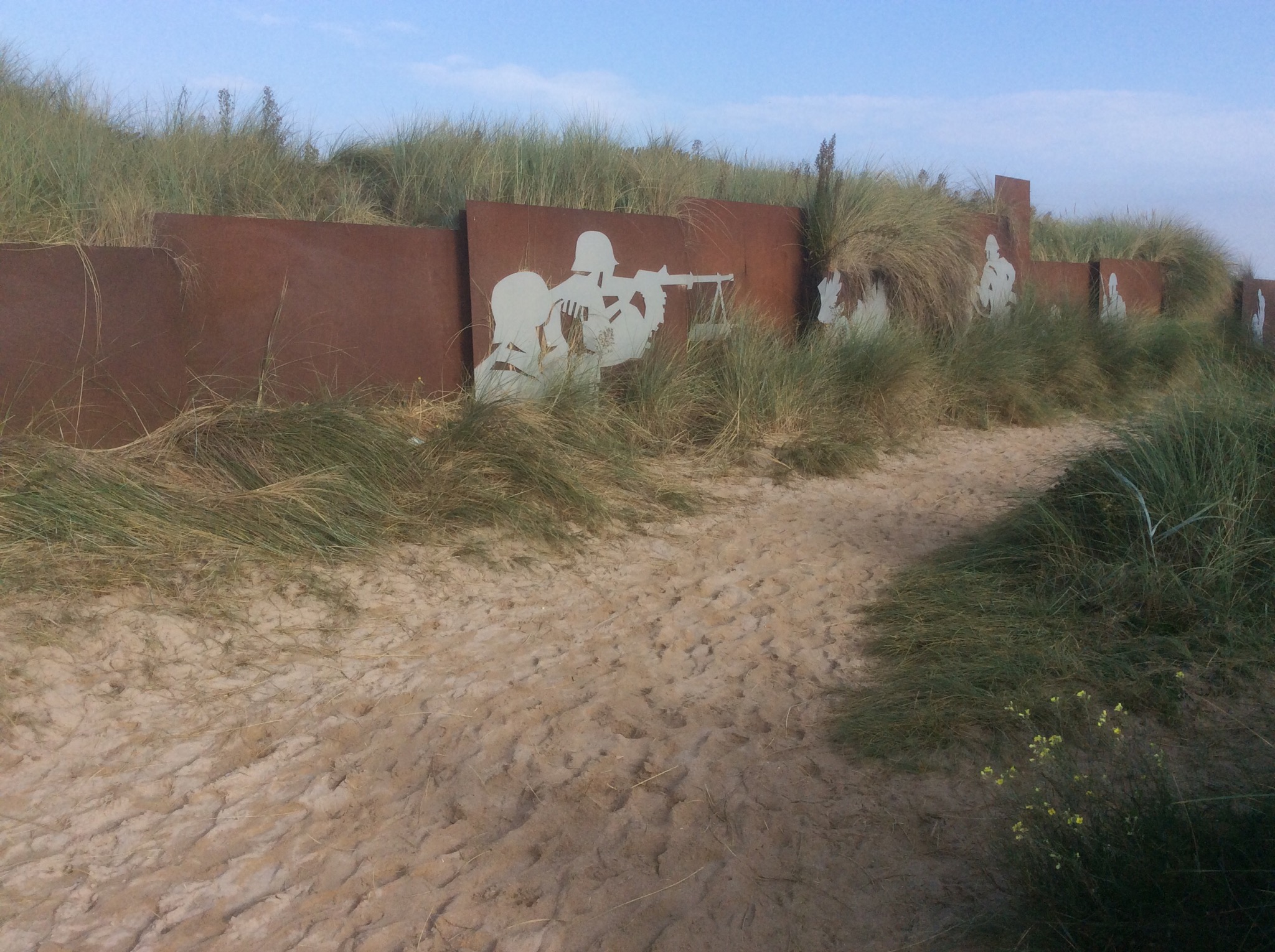
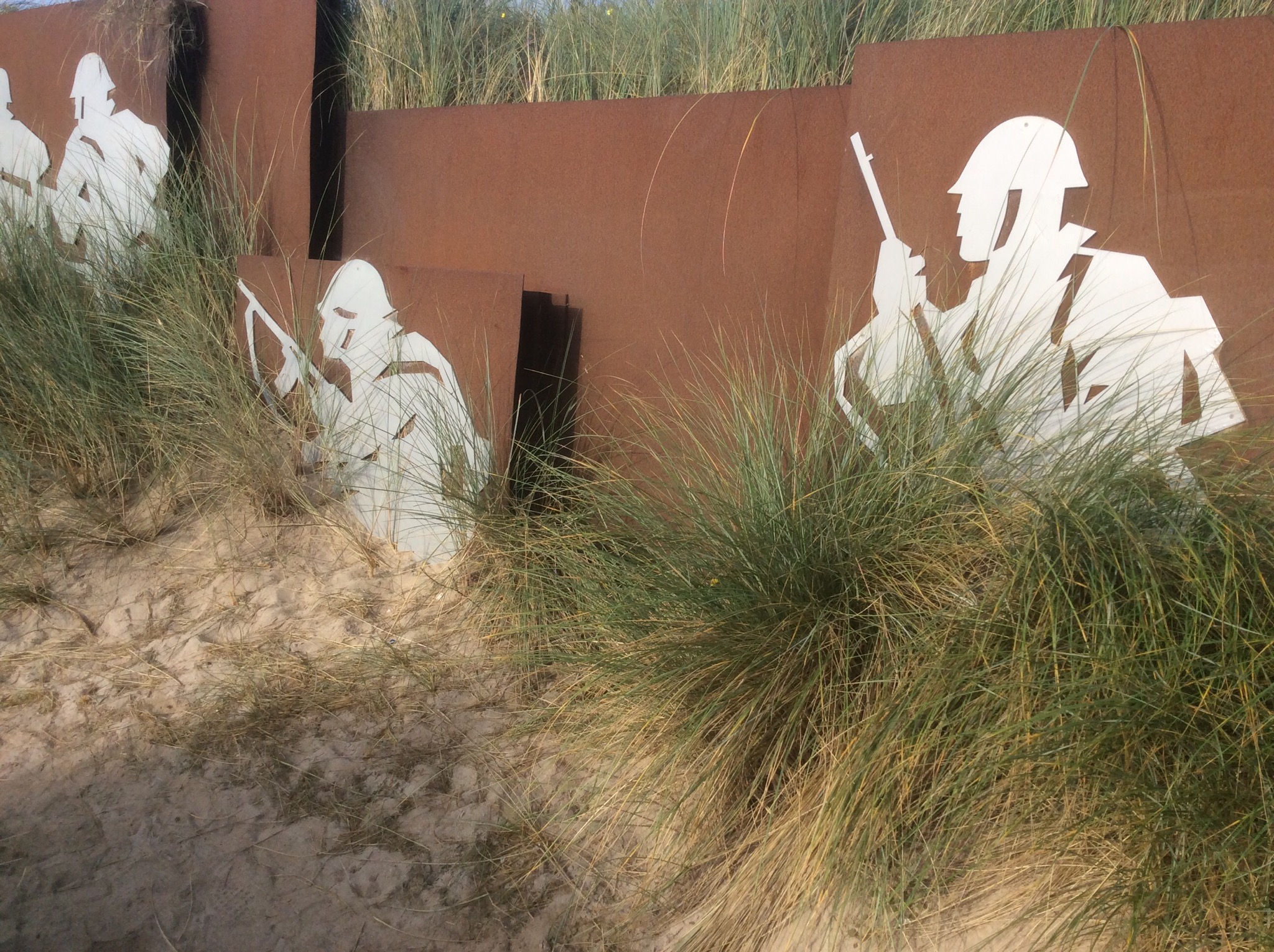
Juno Beach is a 5 mile stretch of the coastline. Today it was calm, sunny and warm. We walked on the beach, looked at the various monuments, inspected a German bunker and visited the Canada Centre.
Some points of interest I learned today
– every Canadian that served overseas during the war was a volunteer (I think I knew that but had forgotten).
– when Canada entered the war we had 13 warships, 275 aircraft, 29 machine guns, 2 light tanks; by the end of the war Canada had the 3rd largest navy in the world, 4th largest Air Force
– one half of all eligible males in Canada fought in WWII
– one half of all Canadian Air Force crew were killed, an additional 25% are injured or taken POW
– while there were years of planning for the invasion, there were many things that went wrong in the first few days
– the plan was for the Air Force to fly the length of the beaches dropping bombs to create fox holes that the landing forces could use for cover, the weather was overcast and the bombs were dropped too far inland to be of any help
– paratroopers were to drop in by midnight to disable the bridges and roads leading to the beaches, there drops were not on Target and they were scattered instead of in their groups
– some of the landing barges stopped in water too deep and soldiers lamented with 70 lb packs walked off into water over their heads
– some of the tanks being landed ended up in deep water are are still there today
– some soldiers arrived with collapseable bikes that helped them get around faster
Why the Allies were able to surprise the Germans. Our lecturer provided a number of reasons why this happened
– the logical place to land would be a port that is close to England, e.g. Calais where there is a port that could be used for the necessary supply line to support the advancing army and where the channel is only 21 miles across.
– so they choose a place that is not logical and set out to solve the many problems this creates
– the Bay of the Seine is chosen because it is 100 miles across from England, there is no port that could be used for the supply lines and it is far away from Calais where they know the Germans are preparing for them
– there is a series of events set up to reinforce the German belief that the invasion will come at Calais
– the Brits got hold of the German code (enigma) and were able to monitor what the Germans were planning
– there was a double agent who was so good he received the Iron Cross from Hitler and the Victoria cross from the Brits many years later, he fed information to the Germans re Calais as the target. He was run by MI6 and the xx committee (double cross but known as the 20 committee)
– the Brits set up a fake building program in an area in the south of England to look like it was targeting Calais
– Hitler believed there was no point in fortifying areas where there was no port (the allies knew this)
– to solve the supply issue the allies developed portable ports, these were built in Southhampton in pieces and towed over, assembled in place and then protected with a breakwater created by sailing over large ships, turning them broadside to the beach and sinking them (idea credited to Churchill)
There were daily objectives for the ground troops but these were not met. The initial objective was Caen which took 3 months to reach. Once there the front opened up and the rest of the German resistance was overrun more easily.
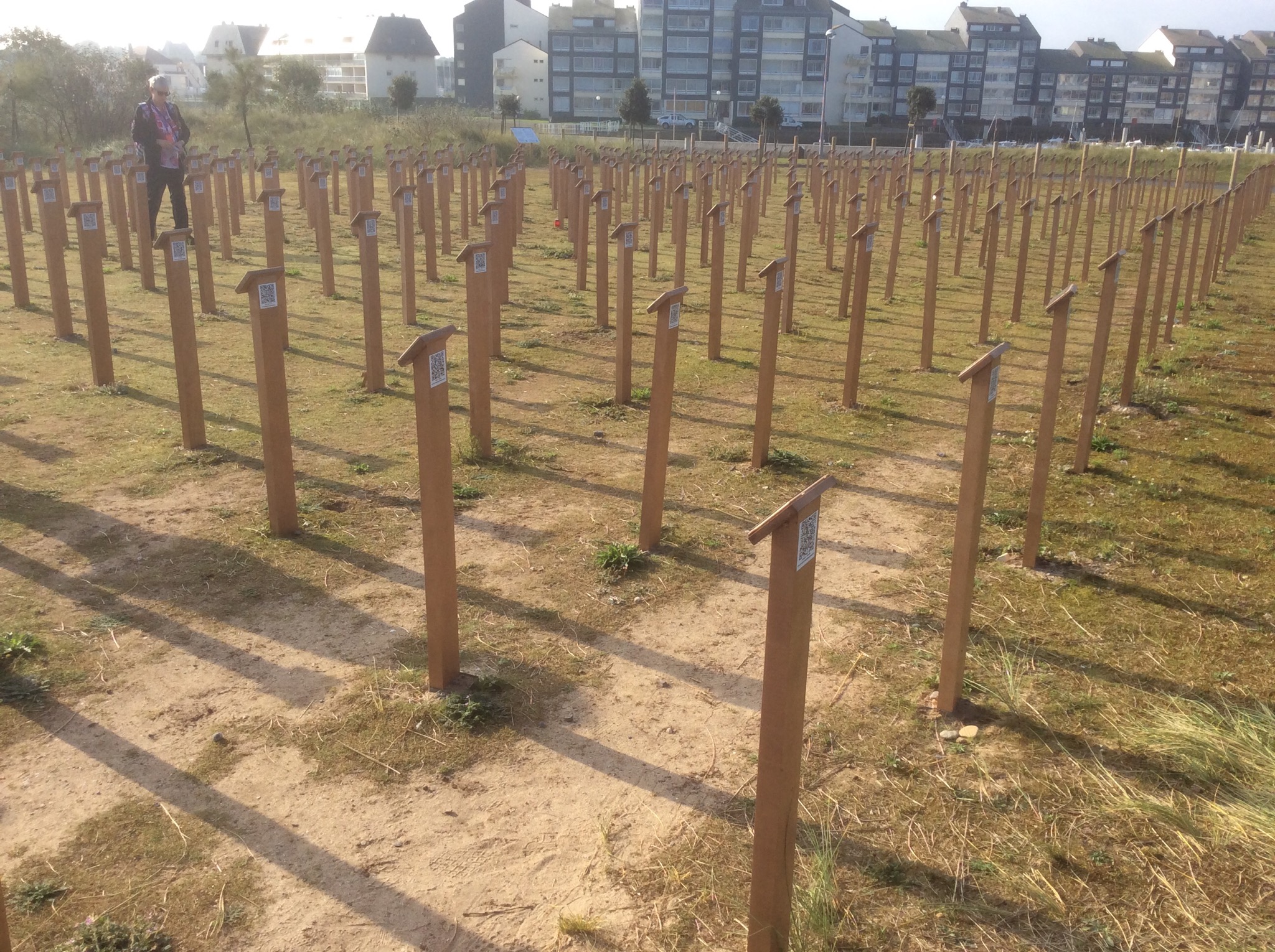
After our visit to the beach we visited Canada House, a house often seen in pictures of D-Day and then the Canadian War cemetery. Our last stop is the Ardenne Abbey where 27 captured Canadians were killed on the orders of Sargent Kurt Myers.
For D-Day to be successful the Allies first had to master the sea and the air. Deippe was considered by some to be a test to see if the Allies could take a port and to identify the issues they would need to resolve. But there is some thought that it was a cover for an attempt to steal the German machine “Enigma” and / or to discover more information on the German defences.
Tomorrow we have a day off and a lecture in the evening about the French Resistance.
Our trip over yesterday was very smooth. I was able to get about 5 hours sleep on the plane. Having a flat bed sure helped. We had a 2 hour wait at the airport to meet the rest of the group and then a 3 hour bus trip to Honfleur.
We met the group last night and all had dinner together. One thing is for sure – we won’t starve here! There are over 95 restaurants and a population of about 9000. It is an artist’s town with many galleries displaying paintings and sculptures.
Honfleur is a small coastal town. When “fleur” is part of the name it means “port” so this is Hon Port in English. There is a lot of shared history with the English and Canada. This is where Champlain started his trips to the New World. (We are told it is not the “English Channel”, but just “The Channel” as it is shared and not owned by the English!) Normandy was owned by the English at one time and many wars were fought over it. William the Conquerer is from Normandy as well.
We had a tour of the town today. The old part of town was built during the 14th and 15th century. The “new” part during the 18th and 19th centuries. The town is located at the mouth of the Seine and we can see the skyline of Le Havre and the bridge connecting the 2 towns.
We are told this is the home of Impressionism painting. Eugene Boudin painted here, influenced Monet to become a painter and influenced him and others to start plain aire painting. We visited the Boudin gallery today.
There are no pictures that I can upload! With my new technology and Gary’s camera I find I do not have the correct equipment to hardwire the camera and my iPad and Gary’s iPad is too old to use current apps. So, I guess Rick will not be looking at my blog as he just wants to see the pictures! I will add some pictures after we are home.
Anyway, back to Honfleur. A beautiful harbour lined with colourful outdoor restaurants. Reminded me of Copenhagen.
Our tour took us to an old wooden church built in 1468. Because of the way the wood is cured it is considered to be as strong as steel and impervious to fire. It is soaked in salted water for 7 years, then dried for 7 years. It was built by fishermen so the interior ceiling looks like upturned ships’ hulls. The bell tower is not attached to the church but across the square. This is in case the bell tower is struck by lightening and starts to burn. (?? Thought it was impervious to fire??)
It is a very picturesque town with many half timbered buildings – former homes, which is typical of 16th century Normandy. As timber grew scarce slate was used as siding for the houses, then brick for the wealthier.
Some house along the port are really 2 houses one on top of the other. The bottom ones are 3 stories, built with their back being the wall of a cliff so only one side shows and has windows and an entrance. The second house built on top of the lower one is 4 stories and is accessed from the other side on top of the cliff and has windows on both sides of the house. The lower house for the poorer people the upper house for the richer people. There is no connection between the 2 houses. Apparently one woman owned the property and found a way to sell it twice!
Tonight we have a lecture about D-day and the Battle of Normandy and tomorrow we will visit Juno Beach, the Canadian War Cemetery and Ardenne Abbey.
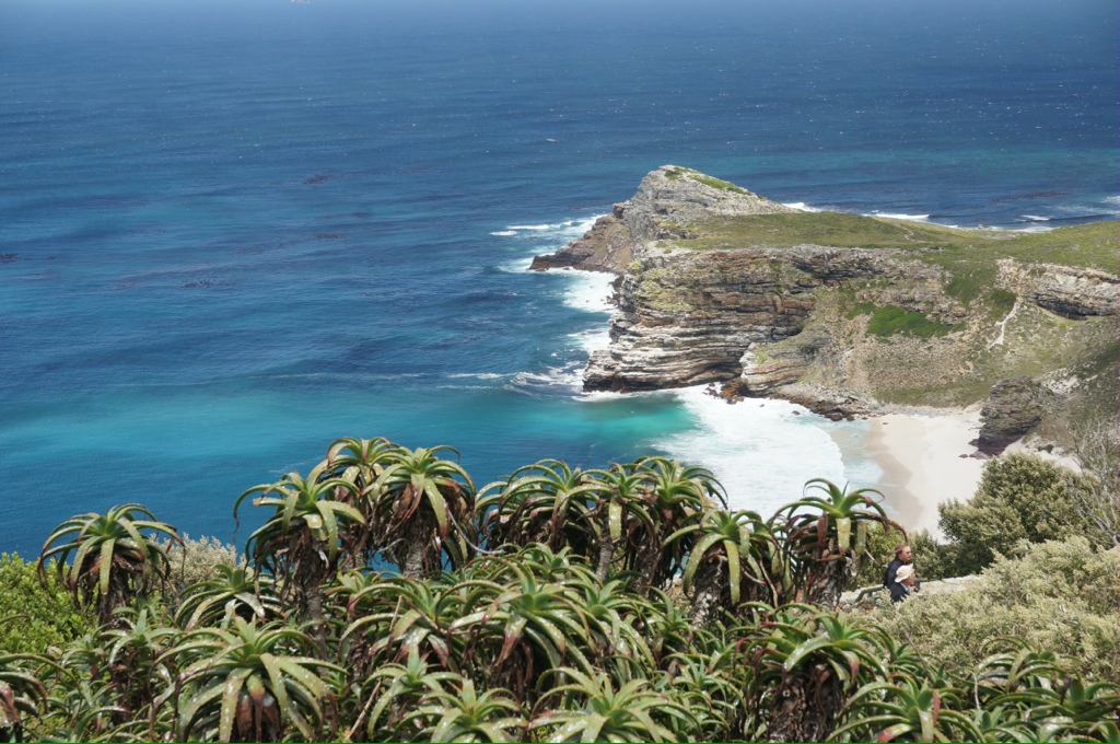
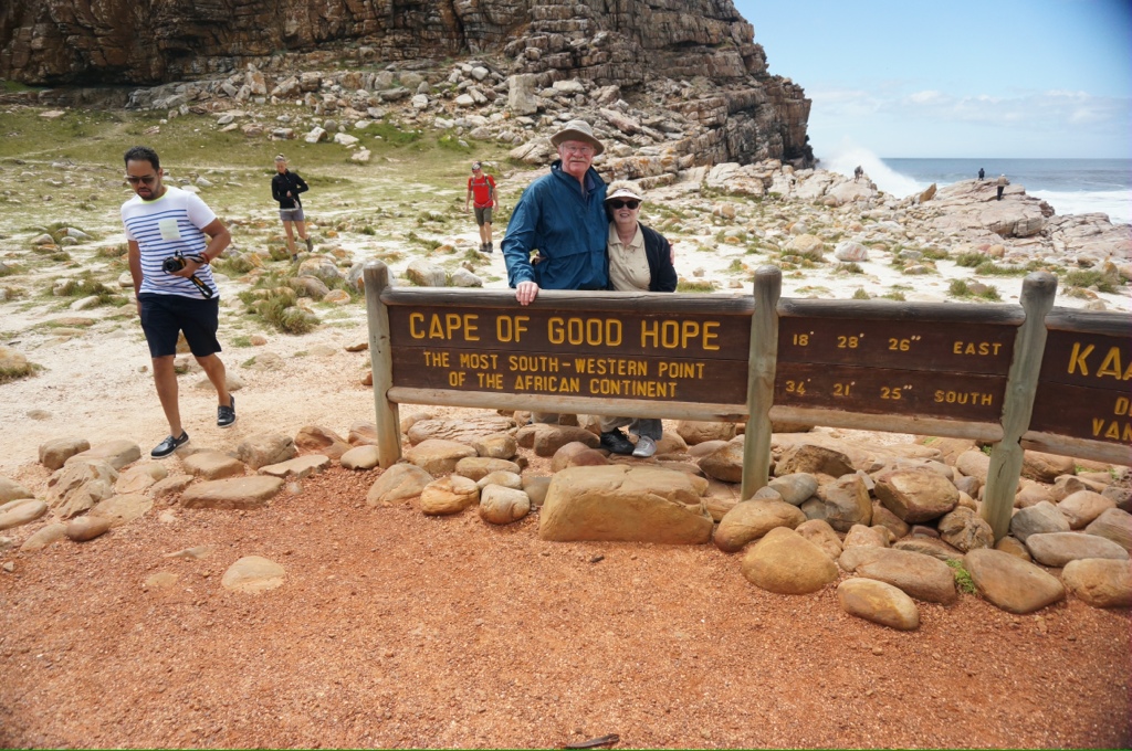
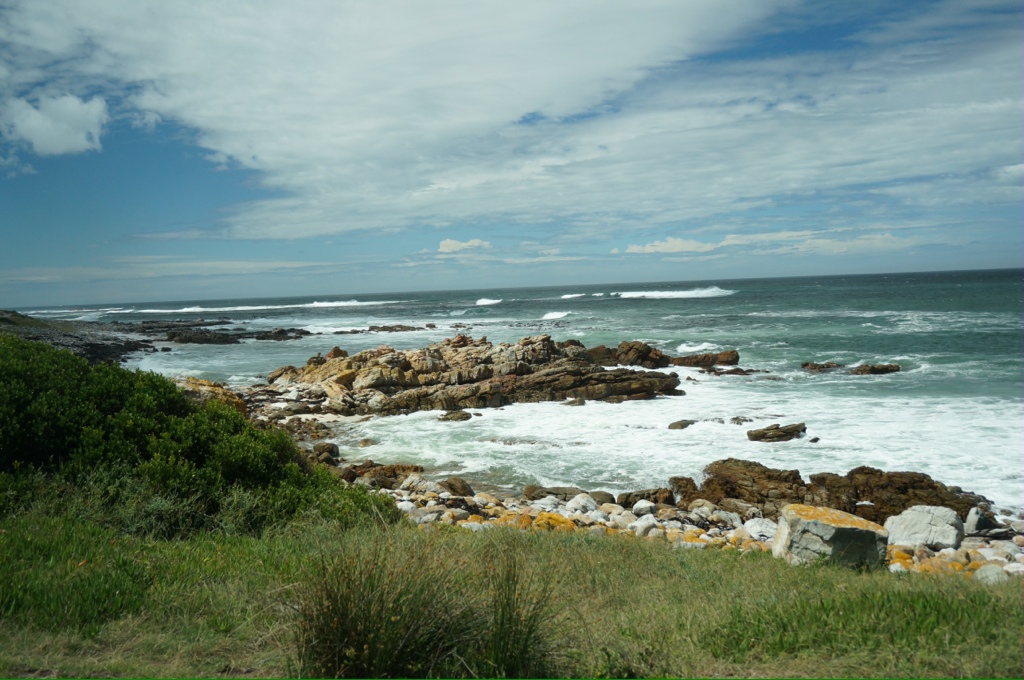
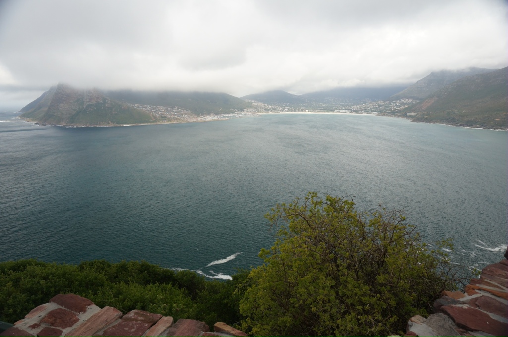
We have had a couple of very interesting days. The weather has improved. On Thursday we had a drive to the Cape of Good Hope, Cape Point and a penguin colony.
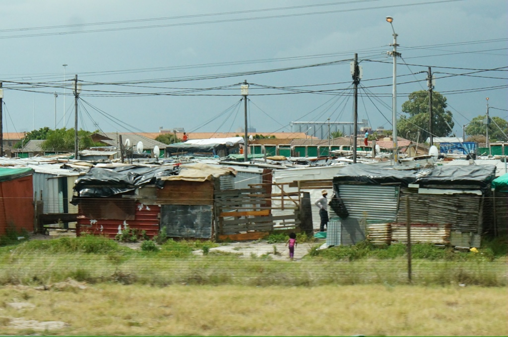
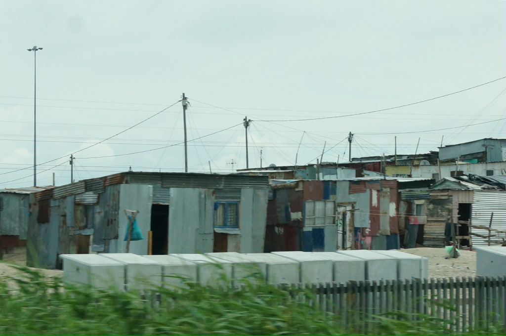
We start by driving east out of the city along the coast. Along the way we pass the rugged coast dotted with beautiful homes overlooking the sea. We pass a number of suburbs and some shanty towns that have grown up nearby. As people get jobs in the suburban areas they build shacks to live in so they don’t have to commute. As there is no public transportation people have to use taxis. These taxis work within specific areas, so you might have to take 2 or 3 depending on where you work and live. It also may take up to 1.5 hours to make the trip. This means people are spending anywhere from 60 to 100 Rand round trip to get to work, this to earn 150 rand a day! 150 Rands is roughly $15US. We see groups of men standing and sitting around the intersections. They are waiting for work, if anyone needs manual laborers they will drive by and pick up the men for a day’s work.
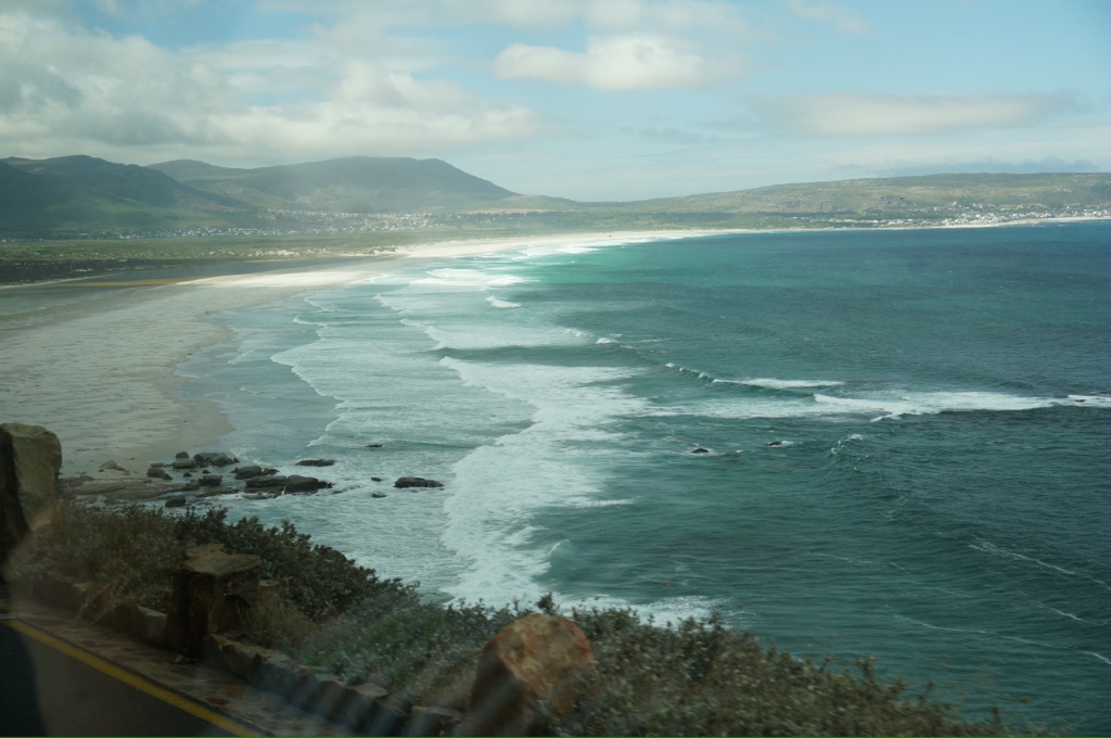
As we drive along the coast we see a promenade, a large swimming pool and “tidal pools” the tidal pools are enclosed areas built in the sea to provide protected swimming areas. Our guide says not many people swim here as the sea is too cold and too dangerous.the sea temperature is normally 9 – 10 C. The tides are not high here and there are no issues with earthquakes, tsunamis, hurricanes, cyclones etc. so Cape Town is a good place to live, much safer than Jonhanassburg which is the business capital of SA. There is no coral here, we see seals and evidence of kelp forests and rafts.
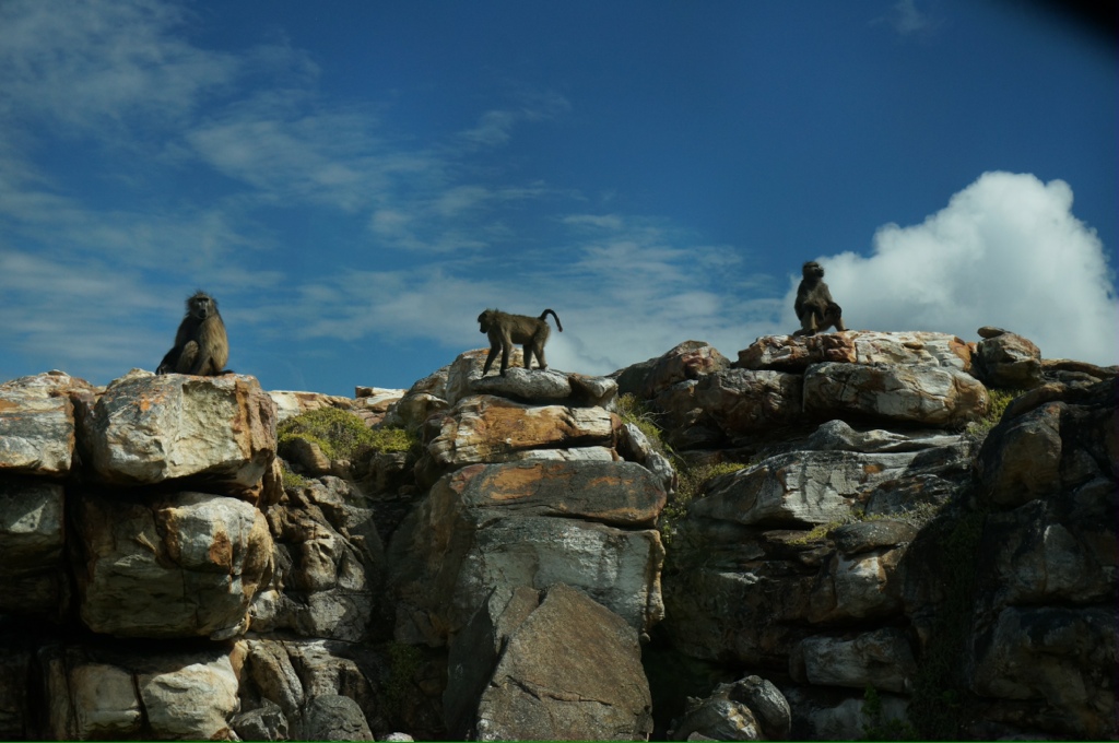
We drive by a big white sand beach (long beach). As we get to the cape park we drive through areas of scrubby growth that reminds us of Scotland’s moors or the tundra. There are lots of hiking and bicycle trails through the park but most of it is inaccessible to preserve the flora and the animal life. We see wild ostrich, baboons, some elands. We are in the Cape of Good Hope National Park which is 700 hectares.
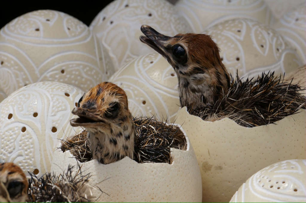
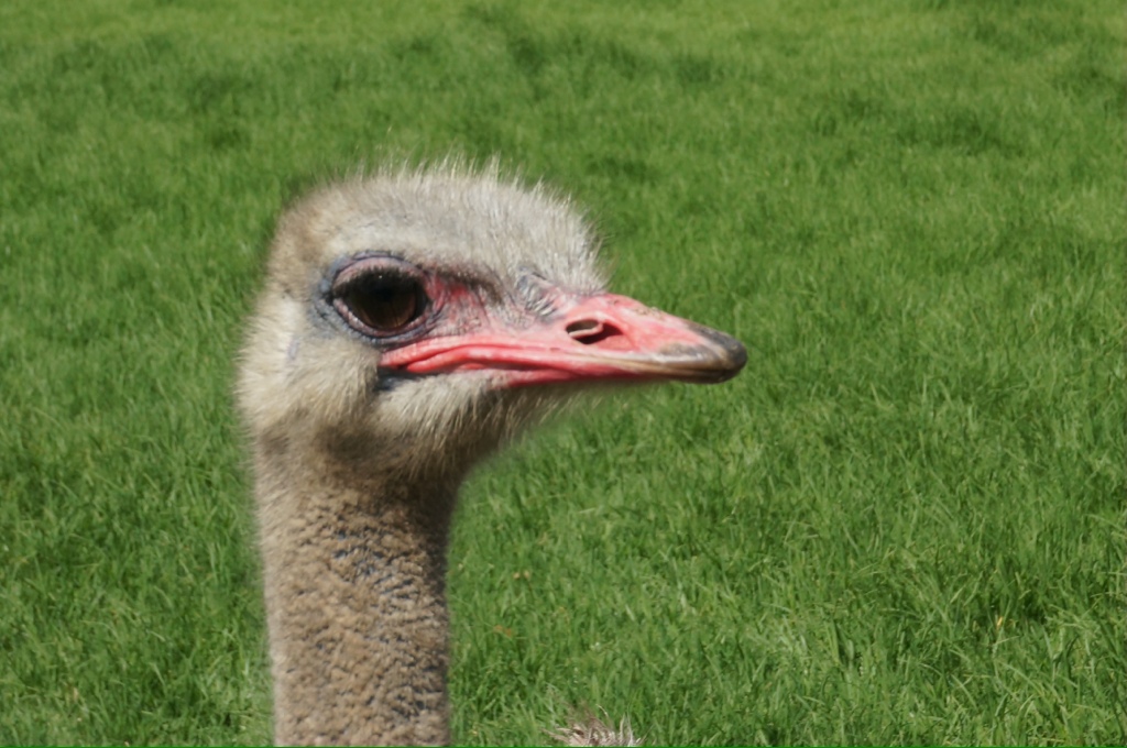
We stopped at an ostrich farm. We have seen Ostrich eggs for sale all over, some are painted, some made into lamps, some have baby ostriches sitting in them, some are plain. A female ostrich can lay up to 60 eggs a year. At the farm they will steal eggs from the nest, leaving just 1 or 2 and when the female returns she will lay more. Apparently they are really stupid, their brain being smaller than their eye.
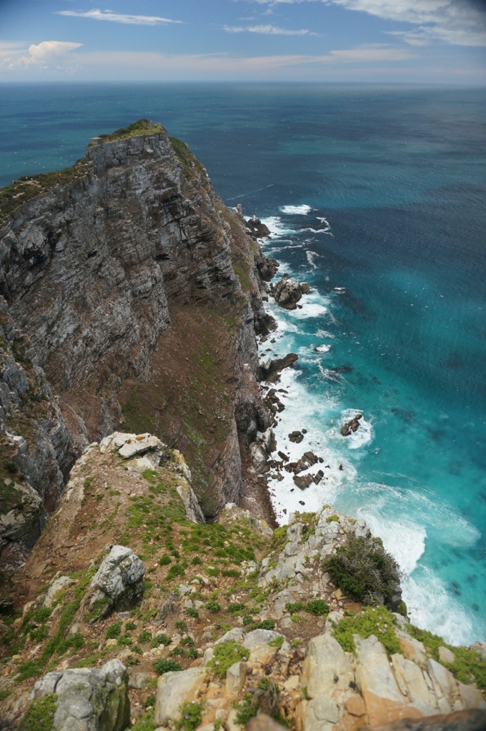
The Cape is dramatic, beautiful scenes. This is not the most southern point in SA and is not where the seas meet. There are statues and beacons honoring Da Gama and another early explorer. The most southern point and where the Atlantic and Indian Oceans meet is about 200 kms east at Cape Agulhas.
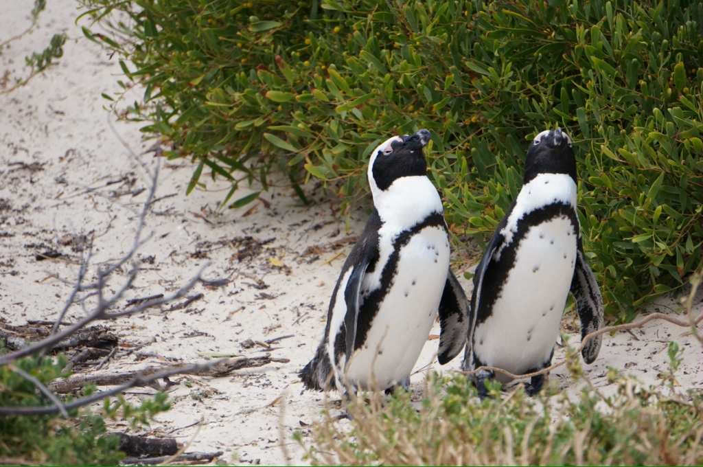
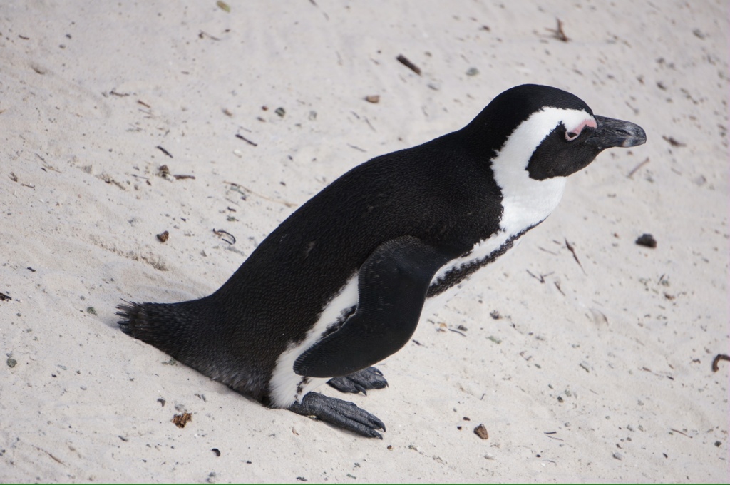
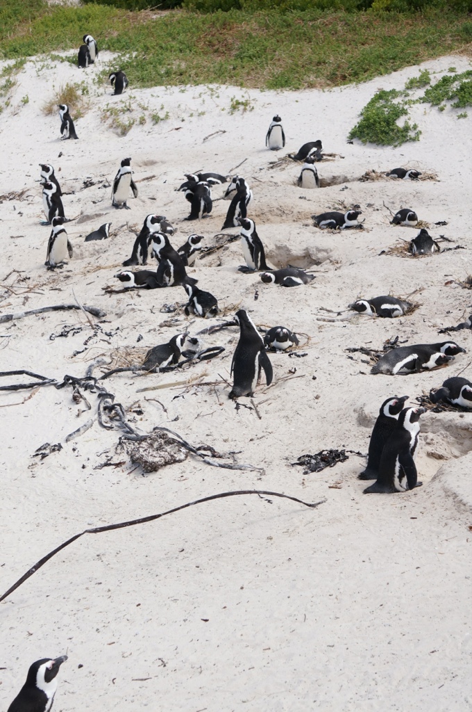
After our visit to the Cape we stop at a penguin colony, home to the African Penguin, which range along the Africa southern coasts.
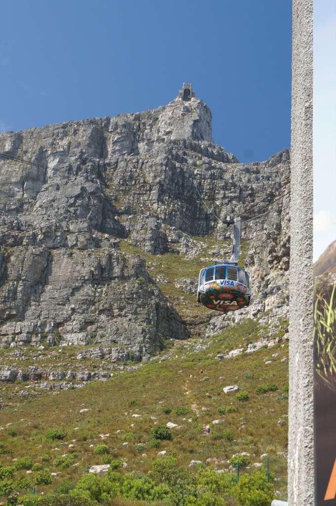
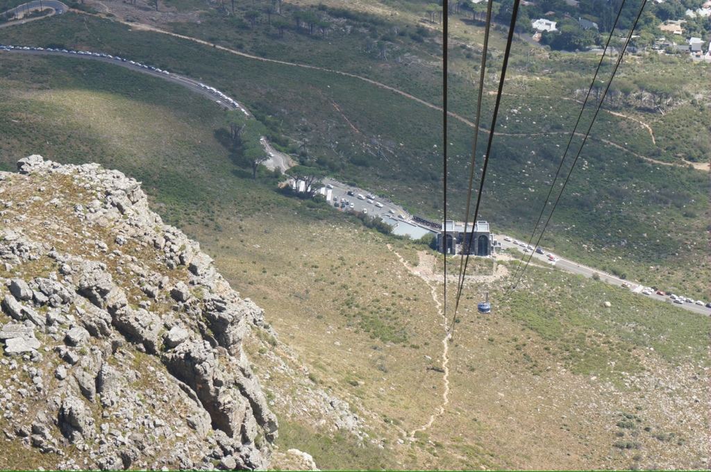
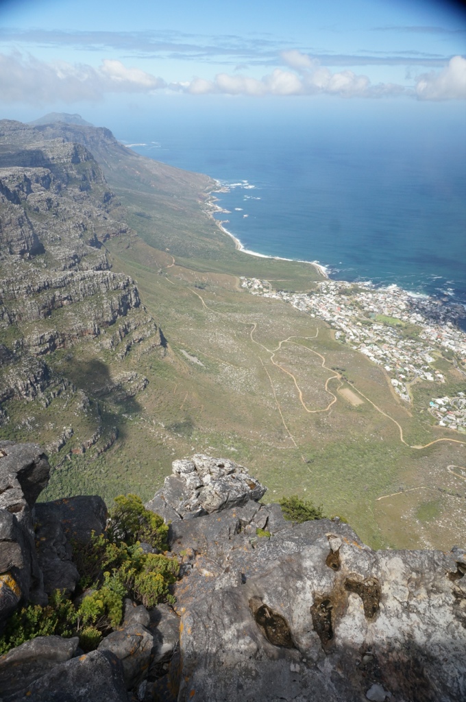
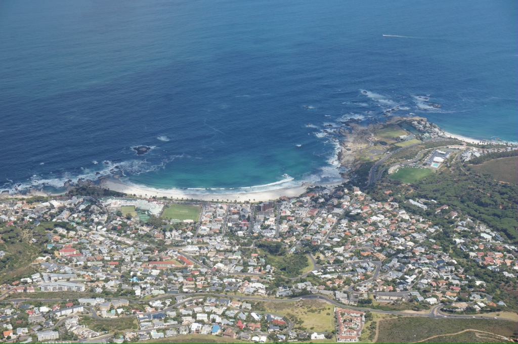
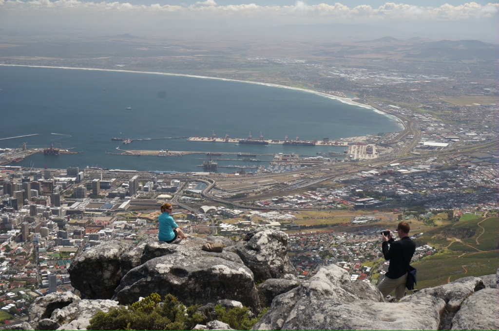
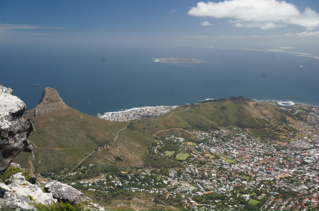
Today we visited Table Mountain which we can see and go up for the first time since we arrived. Beautiful views in every direction. The mountain is flat on top and there are many trails we can follow. We did see some people hiking up! As we went up in the cable car we saw them starting put, on our way down 1.5 hours later they were just reaching the steep section.
Last thoughts about SA.
There were indigenous people here before the Portuguese arrived, the Koli
Aparteid had been in place long before the forced movement of blacks to the Townships, there were laws on the books dating back to the early 1900s. For some reason not enforced until the 1960s, there was no precipitating event we could find out about. Seems some whites wanted to get their hands on some desirable land.
There are land claim issues, we read about some of these. It really does not sound much different from other countries, except those displaced are the majority of the population unlike USA, Canada, Australia, where the issues sound the same.
Now we start the long trip home. Hope the weather has improved!
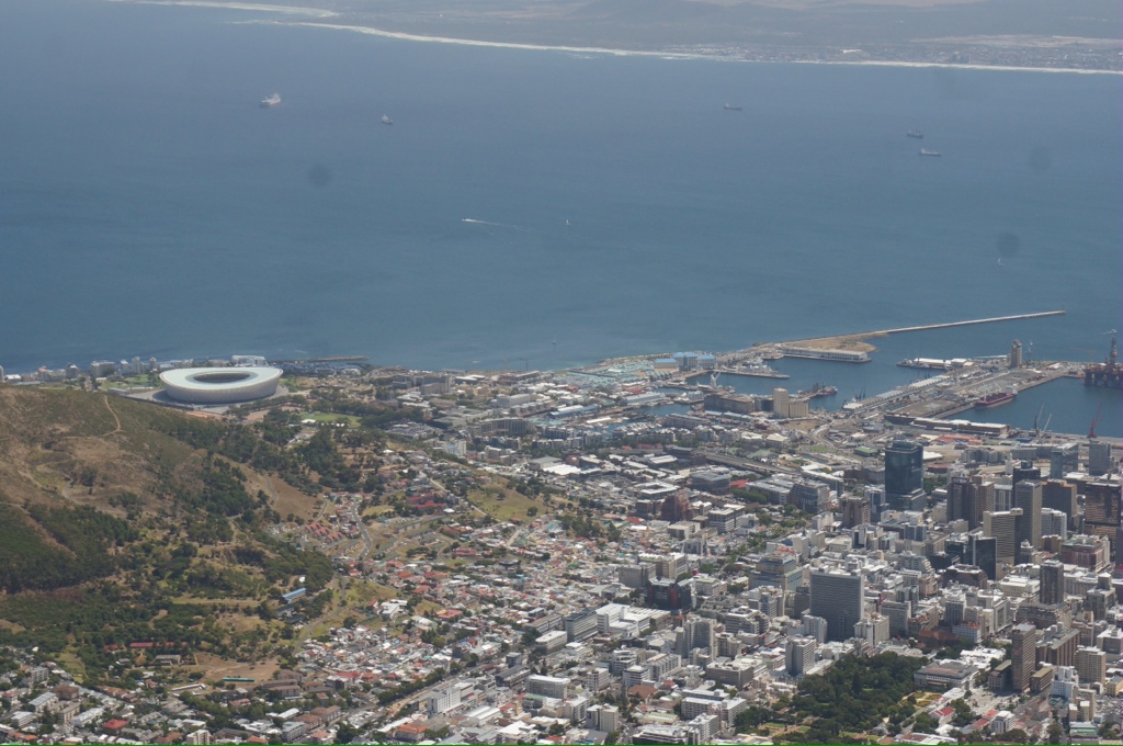
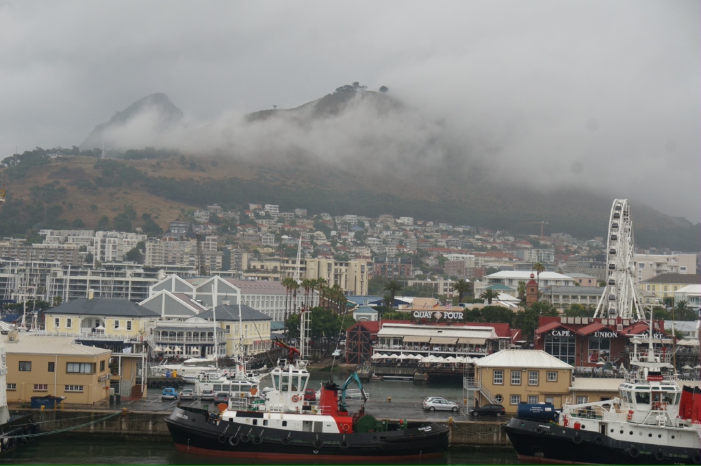
It was a rough trip around the horn, something about Southwest winds and east current and bad weather. Coming into Capetown we passed the horn, Robben Island and sailed into a smallish harbor with lots of activity. We dock at the “Victoria and Alfred” harbor. Yes, Alfred is correct, Alfred was one of Victoria’s sons and represented her here at the opening of the harbor.
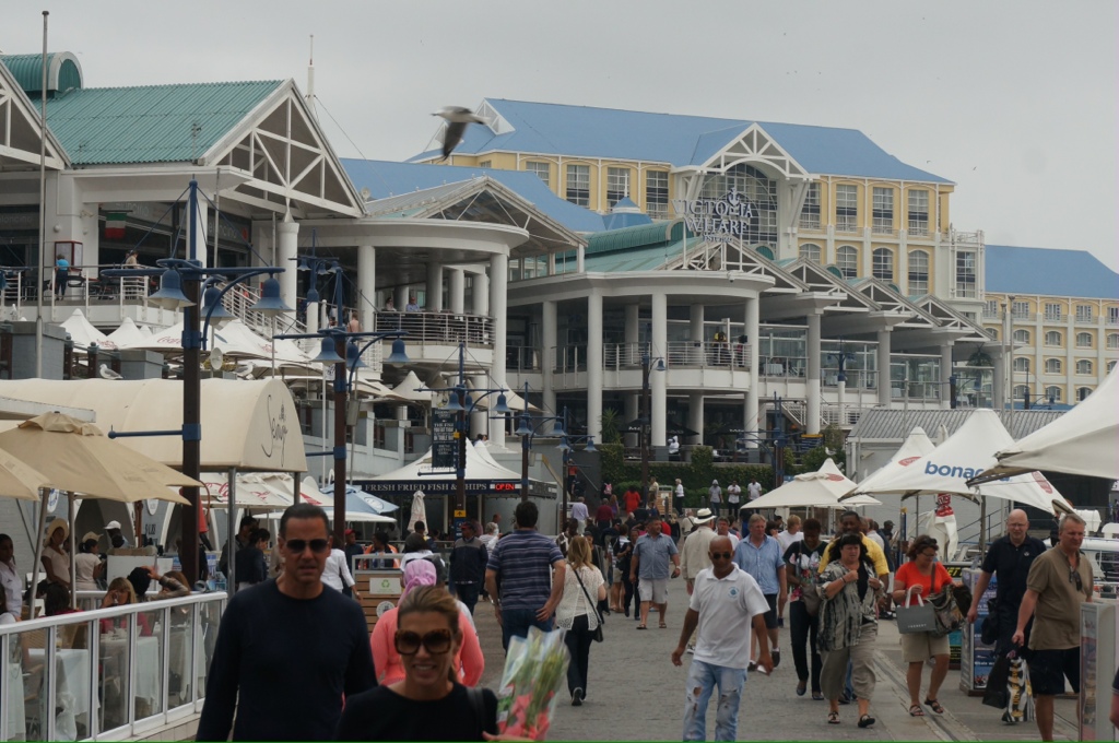
The V&A Harbor is one of the major attractions in Capetown. Complete with ferris wheel, a gigantic mall (Melissa, you would love it!), lots of restaurants, bars, music, an aquarium, craft stores, art stores, various exhibits. The harbor was originally used by the Dutch to repair and restock the ships traveling from Europe to Asia, India and the Spice Islands.
Our first day we are set for a trip to Robben Island, however that is cancelled due to rough seas. So we wandered around the harbor until it started to our rain – our first rain of the trip. We have now been in Capetown for 3 days and have yet to see the top of Table Mountain. Even when the sun comes out there is one cloud that drapes over the mountain obscuring the top – the cloud is common and is called the Table Cloth.
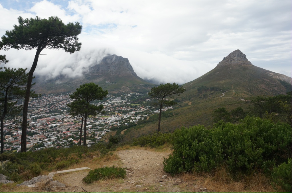
This is the summer school break and the city is not as busy as normal, plus many people are on vacation so taking in the fun at the harbor. Also few people live in the city, most live in the suburbs and commute, mainly by car as public transportation into and out of the city is not good. We are told this is unusual weather for this time of year. Their summer is usually hot and dry with temperatures between 32C – 40C. The city runs along the coast with a backdrop of mountains, three in particular dominate the sky behind the city – Signal Hill, Table Top Mountain (the highest at 1300 meters) and Lion’s Head.
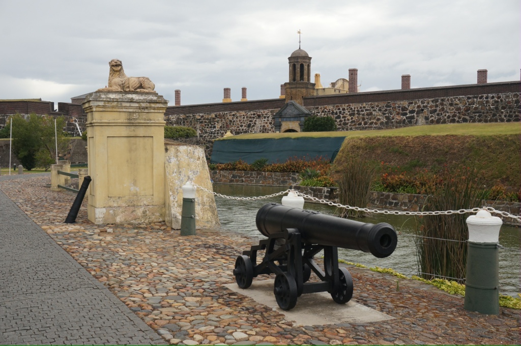
History – the area was not inhabited before the Dutch arrived in 1652. They built a castle in the 1660s. The castle was built on the water and with development and in filling it is now 2.5 kilometers inland. The castle was built using stones from Robben Island, which about 6 nautical miles off shore. The Dutch ships that arrived had few Dutch on board, most of the sailors were Portugese. The Dutch were highly educated and when their tour of duty was up most elected to stay and acquired land inland. In 1795 the English invaded, the Boers just left and moved inland.
In the early 1960s all blacks in the cities in SA were forcibly removed from their homes and resettled in the “Townships” this was the start of Apartheid. The government built townships outside each of the cities and supplied very basic housing. One example we drove past was originally built to hold 500,000 people. It is estimated that 2.5 million people now live in that area. The government has not provided additional housing so the immigrants have built a shanty town much like what we have seen in other areas. Many of the homes have no water, electricity or toilets ( our guide said they rely on the bucket system).
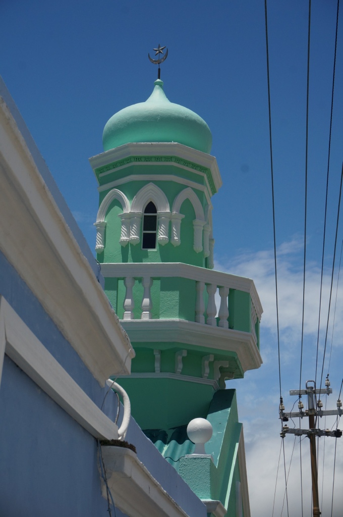
As we learn about the culture here it becomes clear there are 3 groups – whites, colored and blacks. These are the terms our guide (white) uses. Colored refers to a group that are a mixture of Asian, Indian and people from some of the Pacific Islands, most are Muslims and originally arrived here as slaves, many had skills and have been able to use those to improve their lot. Despite the end of Apartheid there are distinct areas where each group lives with a few exceptions. Our guide makes many comments about the education system. Clearly he believes it is not good especially in the townships where people have no options. Apparently the standards are lowered regularly so the government can point to the number of graduates. He says it has reached the point where to graduate a student needs marks of only 30%. So grads are not qualified and even though they get financial assistance to attend higher education most (80%) drop out in the first year because they can’t handle the work.
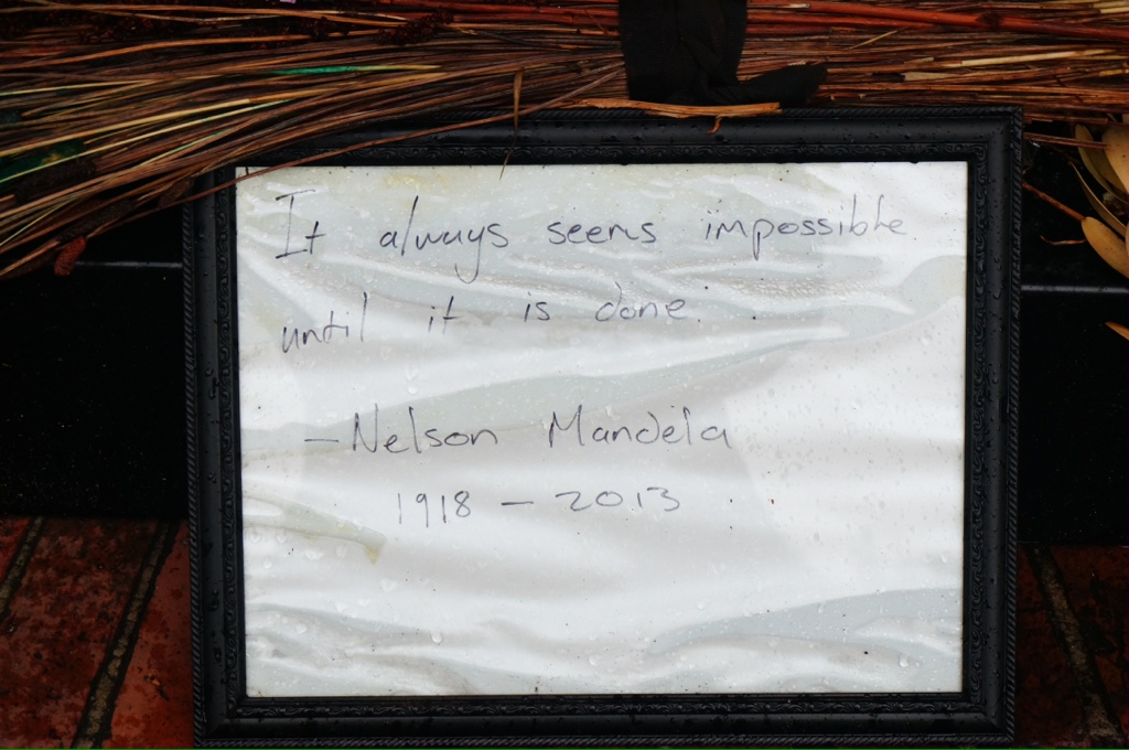
There are 11!!! official languages. He agrees it creates a legal and logistic nightmare for legislators and lawyers. However, there are 3 languages that are used most of the time – English, Afrikaans and Malase (not sure I am spelling that correctly). We hear about how the corruption in government, police and government workers stops progress toward equity, a feeling that everything Nelson Mandela worked for is being lost. This is a different perspective than the one we heard from our speaker on the ship.
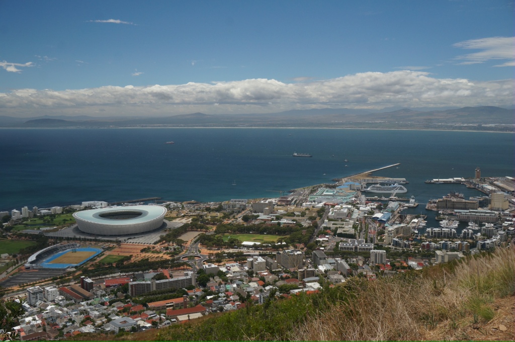
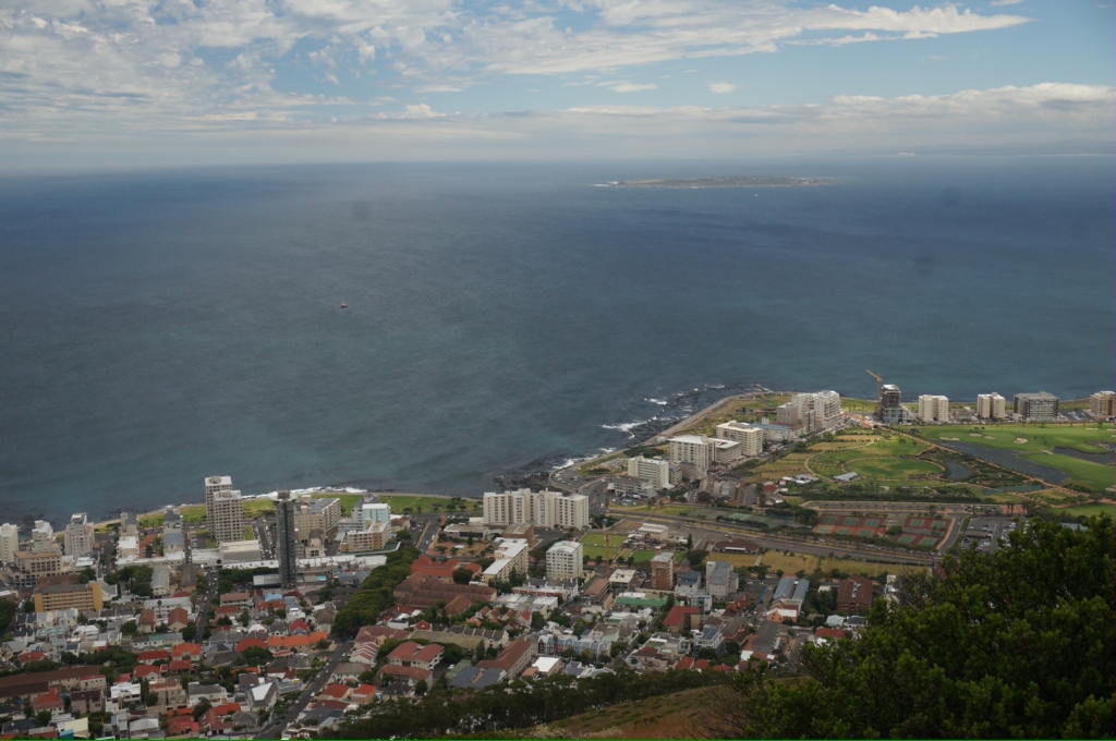
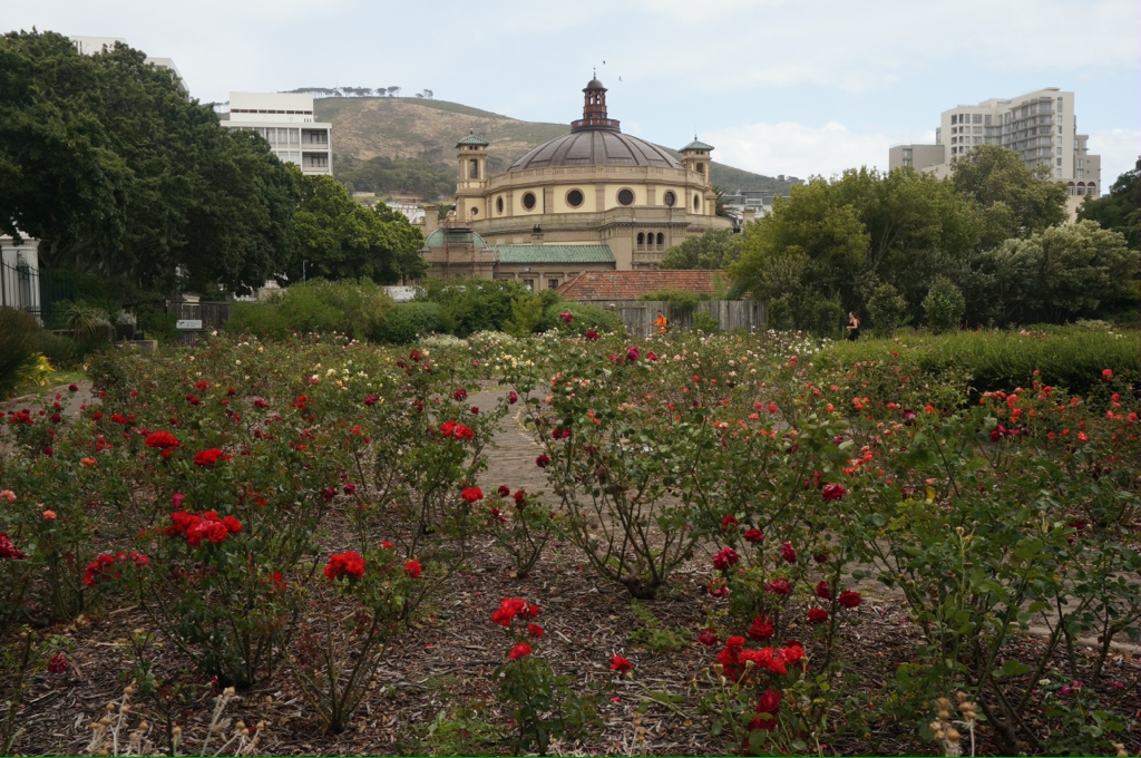
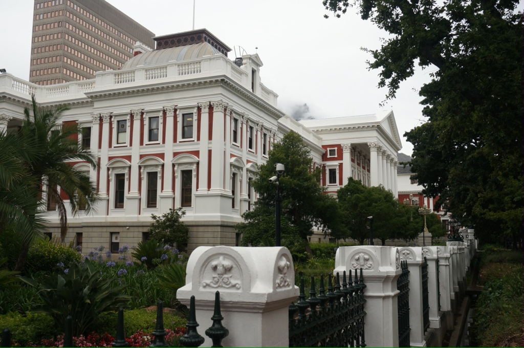
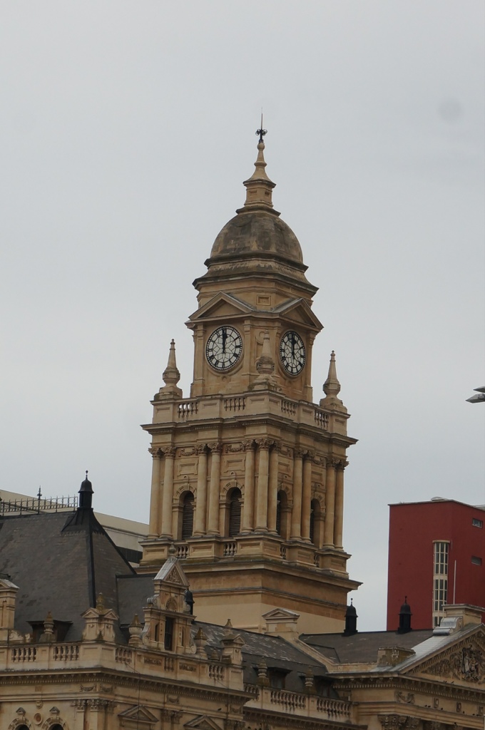
Our tour of Capetown takes us through some nice neighborhoods where the rich live and past large empty spaces where the blacks were forced from in the 60s. Most downtown buildings are from the early 1900s and have been well maintained. The city is clean, neat, well maintained. We see police and “personal safety police” everywhere. We are told not to roam around at night and are regularly cautioned about safety. We visit the gardens, the old slave holding building, signal hill. There is a new soccer stadium built in 2010 for the world cup games (there were 6 built throughout SA). It seems they are “white elephants” now – rarely used and people begrudge the money that could have been used for housing and education.
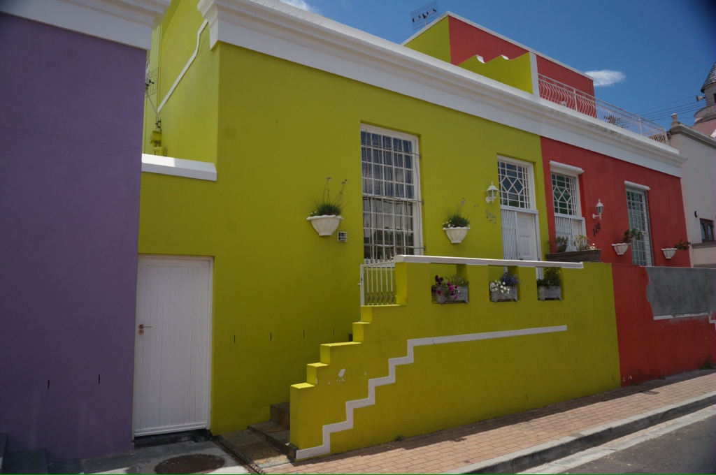
We visit signal hill and the Malase area where there are brightly colored houses and cobble stone streets.
An average salary here for entry level teachers and factory workers is around 10,000 – 11,000 Rand per month. That is about 1,000 – 1100 US$. We find prices are low, so maybe it is not as bad as it sounds. I bought a couple of things that I would expect to pay about $10 for and it cost $3. We had a meal at the harbor and it was about 60% of what we would pay at home.
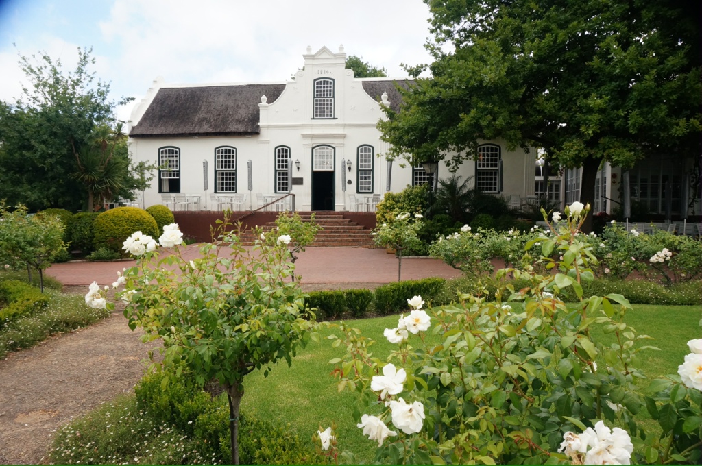
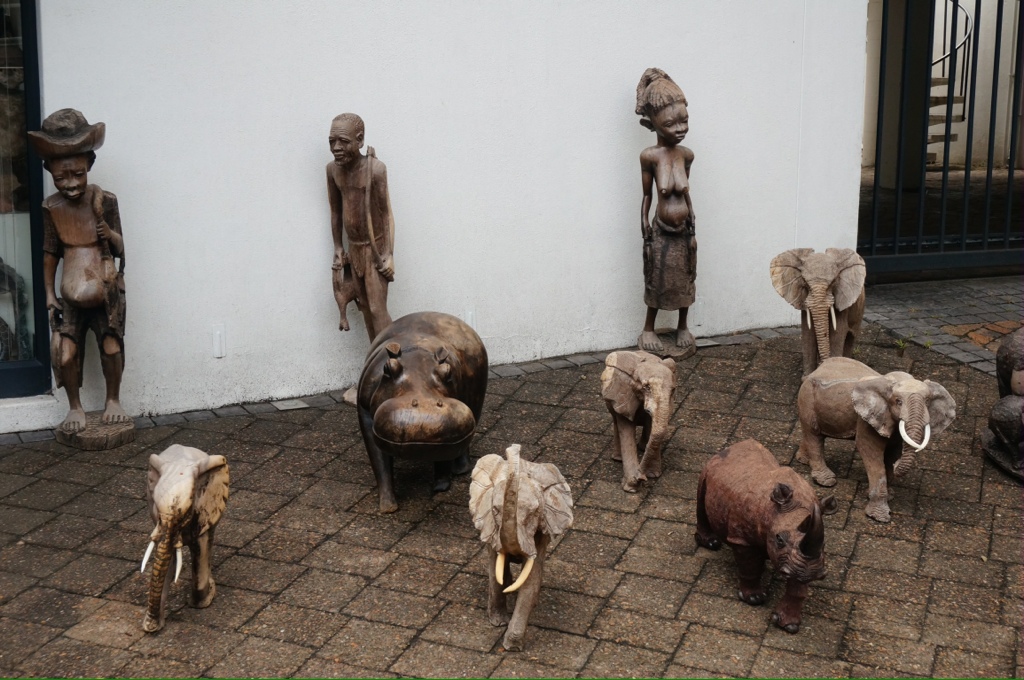
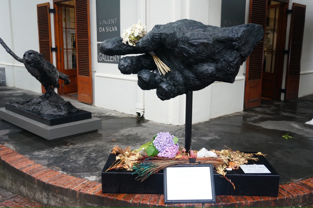
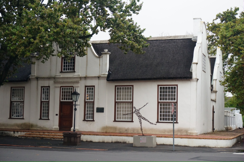
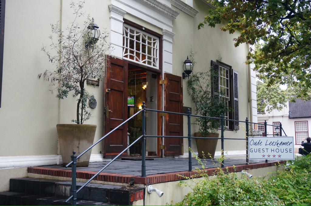
Today we visited Stellenbosch, a small Dutch town in the wine area. There are some of the original houses, a number of small hotels and B&Bs, lots of sculptures around the town and many art shops. As Trevor put it – Niagara-on-the-Lake on steroids.
We then visited a winery for some wine tasting and lunch. There are 150 wineries in the area. The first attempt to make wine was in 1655. In addition to the usual vines we also see some “bush vines” these are basically bushes of grapes not supported in any way and just growing as a bush. They produce the best wines apparently, but are not as profitable. The Dutch imported some oaks for barrel making; however, the oaks grew too fast in the hot temperatures and the wood is porous and can’t be used for barrels so they import oak from France, Spain and Hungry. We also see many other fruits growing including olives, peaches, plums, nectarines etc.
The Cape Dutch houses are similar to those in Holland except the front has been altered so when the thatch roofs catch fire the thatch will not block the entrance and people can escape. Because of the hot, dry summers this often happened. There are 3 basic styles – the “H” shaped house owned by the richest, the “L” shape owned by the next group and the “I” shape owned by the poorest.
Our guide says that while lots of people drink the wine, the most popular drink is beer and the second most popular is brandy and coke.
I think I will stick with wine!
We are clearly into a more modern society. As we pull in to the harbour we see huge container docks, many of the giant container ships, a downtown area of high rise buildings, a full yacht basin, a very active port. We are told this is the largest harbor in the Southern Hemisphere. They must mean busiest, it is no where near the size of Sydney, Australia or Rio. From this harbor they export sugar – South Africa is the largest exporter of sugar (sugar cane) also coal, grain, chemicals, cars etc. There are currently 58 berths for container ships and that is now being doubled. The bay is so shallow that it is dredged daily, at low tide you can walk to the container island. We see many cars lined up on the docks, cars are assembled just north of here and then exported to India, Asia and other Pacific countries. Many car manufacturers send parts here for assembly and export to their final destinations. Examples we were given included BMWs, Honda.
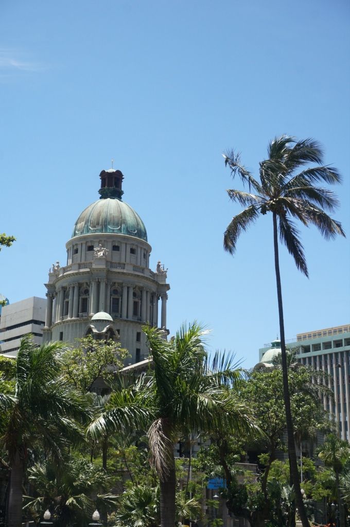
Durban is the 3rd largest city in SA with a population of 3 million. Johannesburg is 12 million and Cape Town is 4 million. This used to be a whaling port and a swamp with hippos, crocs and Mangroves along the coast. Vasco Da Gama landed here in the 1400s. In 1827 the first permanent settlers arrived, Dutch. There are still some buildings that have been preserved in the Victoria style.
Gary and I took a bus tour to explore the town. The first language of South Africans is English and a lot of people also speak Afrikaans, a mixture of Dutch and Spanish.
The largest ethnic group is the Zulus who make up 70% of the population. The next largest group is the Indians. Europeans are about 2%.
There are about 1 million people of Indian descent living in Durban. The Indians were originally brought in to help with the sugar cane harvest and most stayed. One of those who arrived during that time was Gandi. There are streets named after him. We are told that it was here he developed his approach for peaceful resistance. Apparently he was throw out of the courts, for wearing a turban, he was practicing as a lawyer at the time. This and other episodes of discrimination made him determined to change things.
Because of the high proportion of Indians the culture and food has a strong eastern aspect.
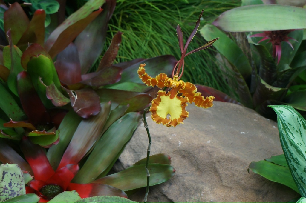
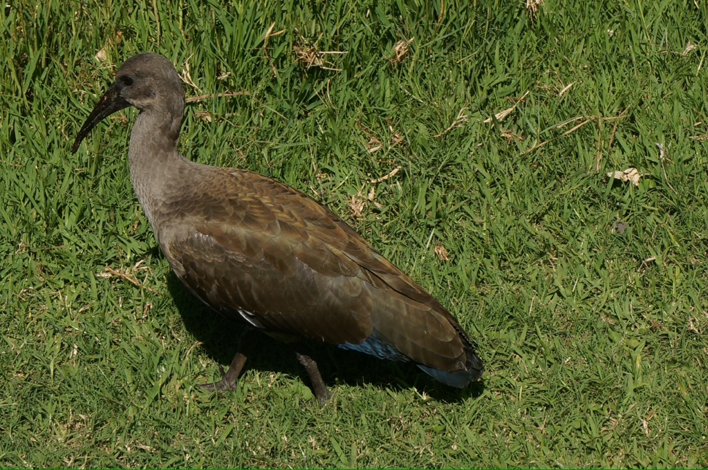
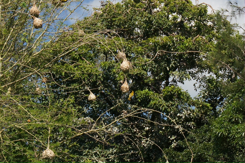
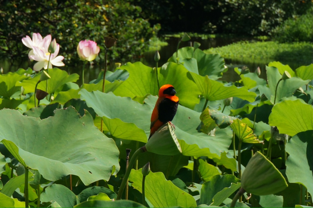
Our first stop is the botanical gardens. This area was originally the source for sweet water for the town and where the vegetables and fruits were grown. Before that, it was a watering hole /oasis that attracted elephants, so there was a hunting lodge here at one time. Our guide gives us a tour of the many indigenous plants and birds, including orchids. We saw brown ibis, bishop birds (bright red), storks, spoon billed stocks, a little yellow bird that builds a unique nest (looks like a wasp nest hanging in the trees).
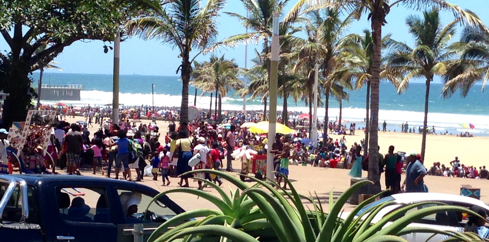
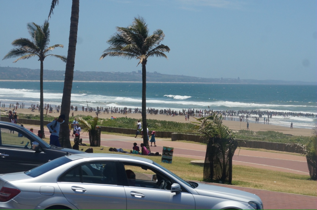
Durban is a popular spot for people from northern Africa, India and Europe for vacation. It has a lovely beach called the golden mile with gold colored sand. The sand gets it’s color from the many minerals, including titanium. Throughout the year the temperature is around high 70s low 80s F with blue skies guaranteed in winter, our guide compared it to Florida. The sea is warm and pleasant for swimming year round between 20 & 27 C. As we drove along the beach we saw many people out enjoying the day. Before 1994 when apartheid ended blacks were not allowed on the beach.
We see that people are in the water only in some confined locations. These are the areas protected by shark nets. Apparently sharks are numerous all along the coast and in the harbor. We see mounted Police patrolling the beach area. There is a long promenade along the beach. This is a popular surfing area where an International surfing championship is held every year. Waves can reach 9 to 10 meters
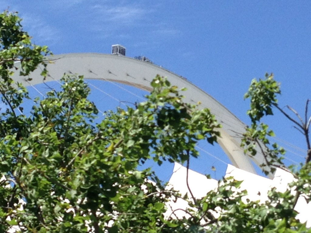
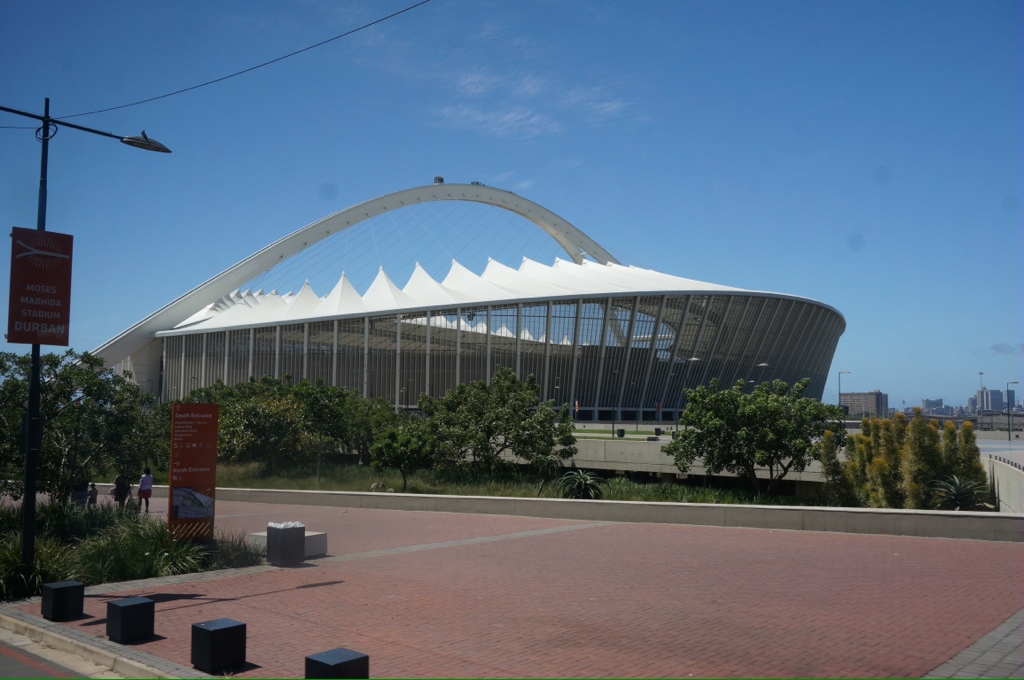
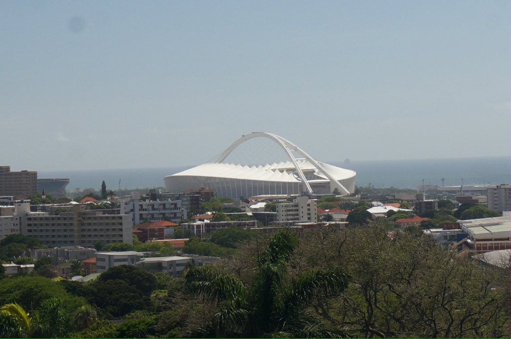
We saw the stadium built for the soccer world cup in 2010. Now it is used for a variety of events and there is a ride you can take to the top. While it is a domed structure it is open in the middle. Next door is the rugby (football) stadium called the Shark Tank, the team is the Sharks and the current provincial champions. The teams and sports are very important. There is also a large stadium for cricket. The city is very neat and tidy, good roads. Unlike many places we have been the buildings are not run down and dirty. There is a huge conference center that can hold up to 20,000. This is important as there is usually at least one convention each week, adding to the tourism income.
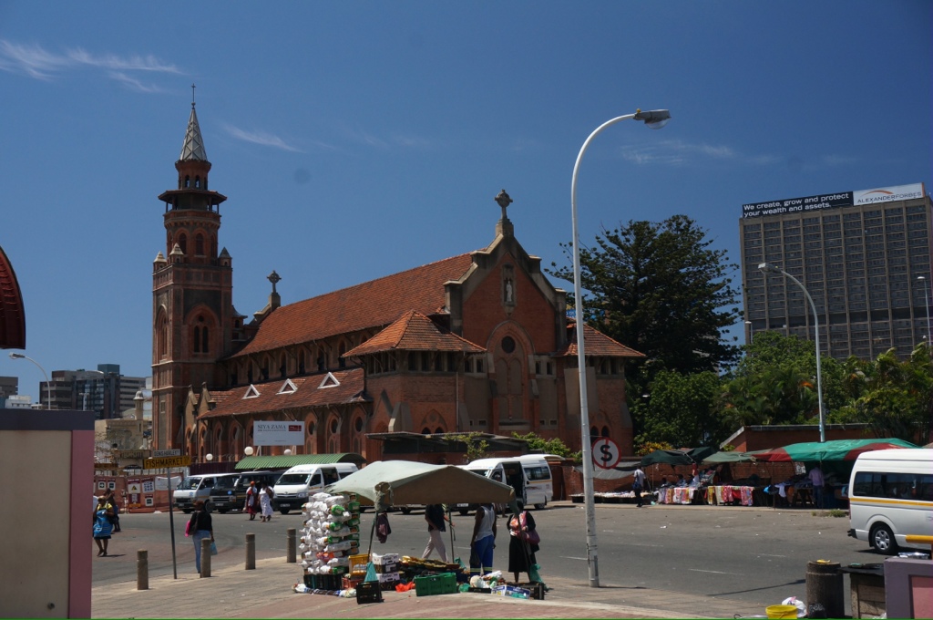
As we drive through town on the way to the market we see many small store fronts and vendors with stalls on the street and some people with blankets spread on the ground to display their wares. The tables under green awnings are legal and rented from the city. The other street vendors are operating illegally, but generally ignored by the police. There is a large mall they claim is the largest in the Southern Hemisphere.
We drove through some prosperous looking neighborhoods with some Victoria era buildings, light standards. Most houses were surrounded by high fences topped with razor wire and with guards stationed around. Despite this our guide assures us the crime rate is low. Most of the middle class live inland, this was originally to escape the malaria found along the coast. House prices are around $800,000US in the high end areas and $300,000 in the suburbs. Our speaker today maintains SA is the place to retire with a very low cost of living, good climate and improving economics.
Since the election of the ANC (African National Congress) in 1994 there has been efforts to improve education especially in the country. Children attend schools separated by sex, not color. The schools are run in the British tradition. The system is good in the cities but the country schools are very poor quality, made worse by corruption, teachers collecting wages but not teaching, drunkenness, no facilities or buses to get kids to school. This is made worse by an agricultural culture that does not value education.
Our lecturer today spoke about the future for South Africa. He did not make a definitive prediction but I believe he is optimistic. There is speculation that oil will be discovered off the west coast and that will provide a much needed economic boost. Currently the lot of the blacks has not really improved much except for a few who have managed some economic success and are enjoying a better standard of living. So far the government has avoided the move to a welfare state and has tried providing things like land for the farmers. They buy the land from the whites and divide it up amongst a group of farmers, unfortunately the farmers don’t get much help and this strategy has not really worked. Most blacks have not experienced much improvement in their circumstances and are still at the bottom of the economic ladder. There is still a high level of corruption – a number of International criminals have moved here as well.
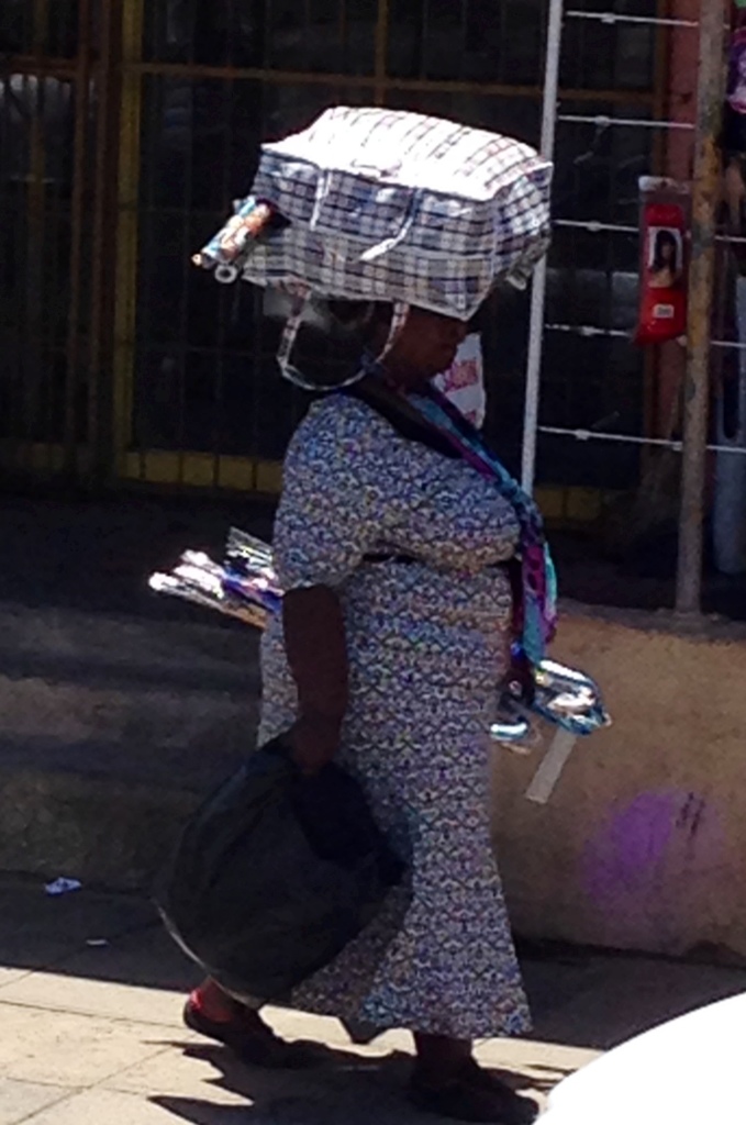
Most of the people we see on the streets have on western style clothing, however, we do see some traditional outfits plus men in western dress with an animal skin tied around their waist and hanging down the back in the Zulu style. We often see people carrying things on their head (good system, keeps your hands free).
The borders especially to the north are very porous and they estimate that 2-3 million illegals fleeing fighting and extreme poverty have entered the country. The last census was 50 million in SA with most of those being Zulus and similar tribes. While the unemployment rate in SA is estimated to be 40% it is 80 or 90% in many of the neighboring countries.
Tomorrow when we land in Cape Town Gary and I will tour Robben Island. Tonight we will round the Cape. I didn’t realize it but Cape Town is actually on the west coast.
Rick, I know this was a lot of words for you but there are pictures.
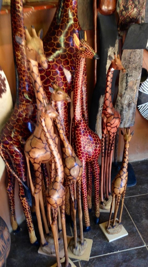
Jane, thank you for your comments. No, no one bought any of the giraffes, too bad, I really liked them. The extreme poverty is hard to see, our travels always make me so thankful I live in Canada where we can get jobs, health care, education and the freedom to live as we please!
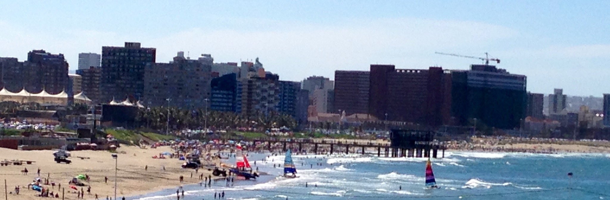
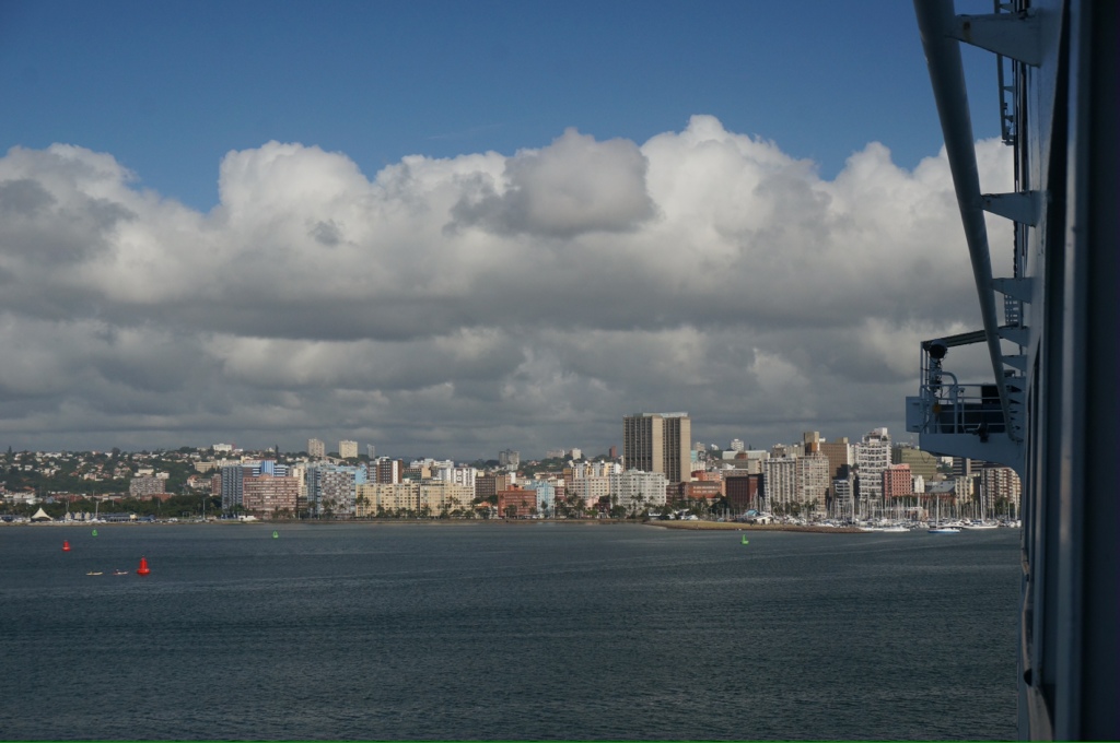
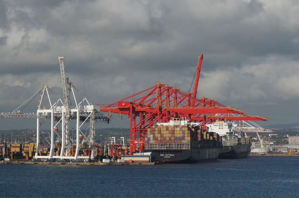
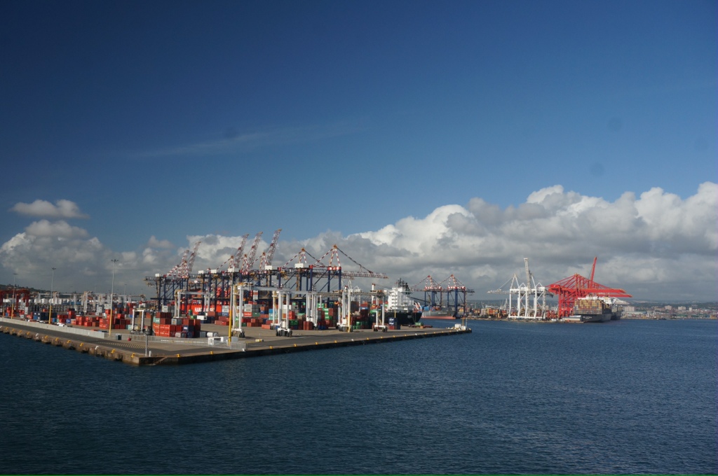
It was an interesting landing this morning. The pilot arrived by helicopter instead of boat. We entered the harbour through a very narrow channel, it was low tide and it took a lot of maneuvering and the assistance of a couple of tugs to dock. As we were pulling into the dock we see people close by on the beach up to just their knees in water, the bow thrusters threw up lots of sand from the bottom, obviously very shallow here!
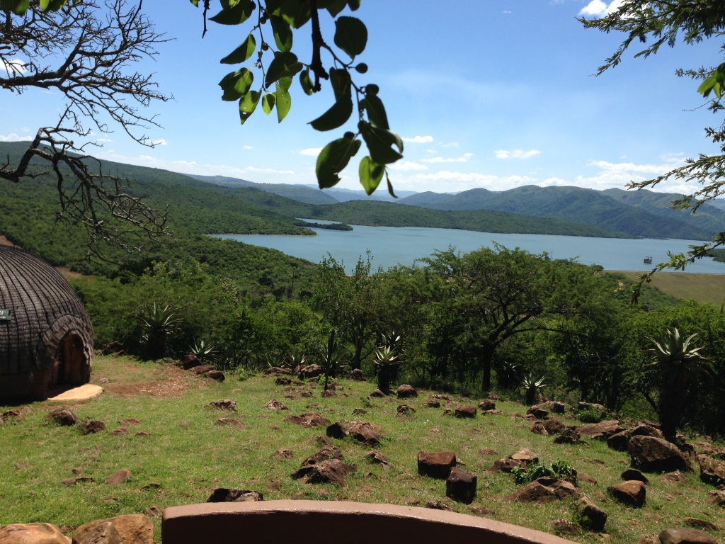
South Africa has 9 provinces, we are in KwaZulu-Natal. The province’s population is around 11 million and 80% are Zulu. Richard’s Bay is a small industrial town. What a contrast from what we have been seeing! Good roads, clean, neat highways, large industrial complexes – 2 aluminum smelters. There is also petroleum, coal exporting, chemical manufacturing and exporting, iron ore and heavy minerals. Richard’s Bay was laid out as a planned town in 1954, in 1976 it was decided to make a deep harbour and the bay area was dredged. It is now a major port for exporting coal, iron ore, aluminum and chemicals amongst other things.
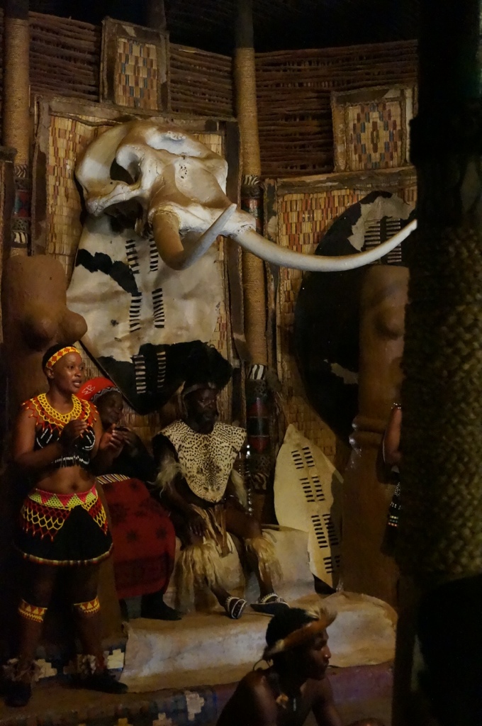
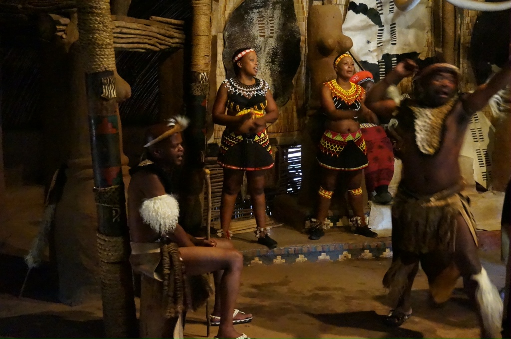
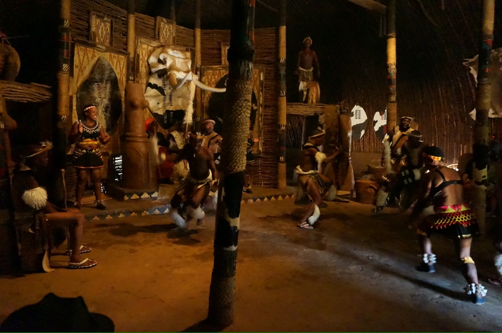
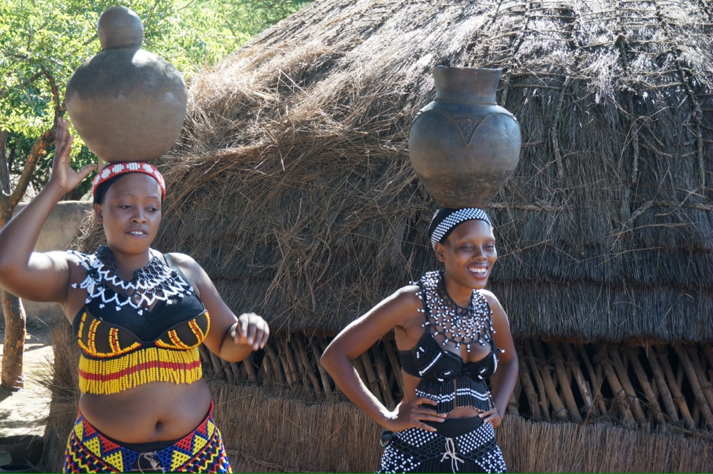
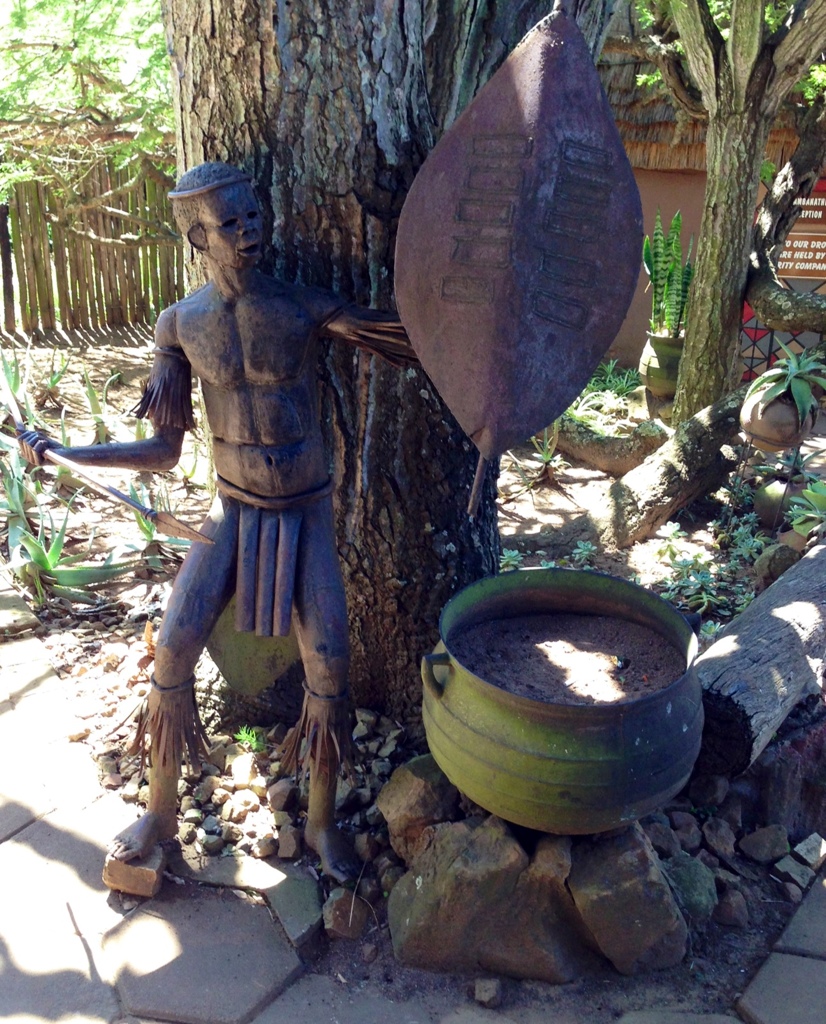
Our tour today is of Shakaland, a recreated Zulu village. We learned a lot about the Zulu culture and traditions. One of the first things we are told is about the weddings. A Zulu man can have as many wives as he wants (and can afford). The bride price is 11 cows for most wives, the daughter of a chief is 16 cows and the daughter of the king is 30 cows. This is still practiced today. We asked the guide if he was married, he said no, he had 2 girlfriends but no cows, so can’t get married. Anyone can attend a Zulu wedding, no invitation required. The festivities go on for a few days and the food is meat (beef, chickens, goats) and Zulu beer, which is made from maize and hops.
The current President of SA is a Zulu and he has 4 wives. There still is a Zulu king, his job is to keep the culture alive, also he is responsible for managing the Zulu lands, he also has 4 wives. Each year all the virgins go to meet the king and if he wishes he can choose one for a wife. There is no divorce in the Zulu culture. Girls are expected to be virgins until marriage.
Along the way we pass lush land, fields of sugar cane, orange groves, eucalyptus groves and fields of maize. We are told that the early settlers introduced sugar cane and had to import people from India to harvest the sugar. The Zulus would not do the harvesting as they had no need for money. It is hard and dangerous work as the sugar is harvested by hand and there are often snakes in the fields. The pay is 8 Rand per hour (about 80 cents/hour). As a result this is the largest population of Indians outside of India. Apparently Gandi was a laborer here at one time.
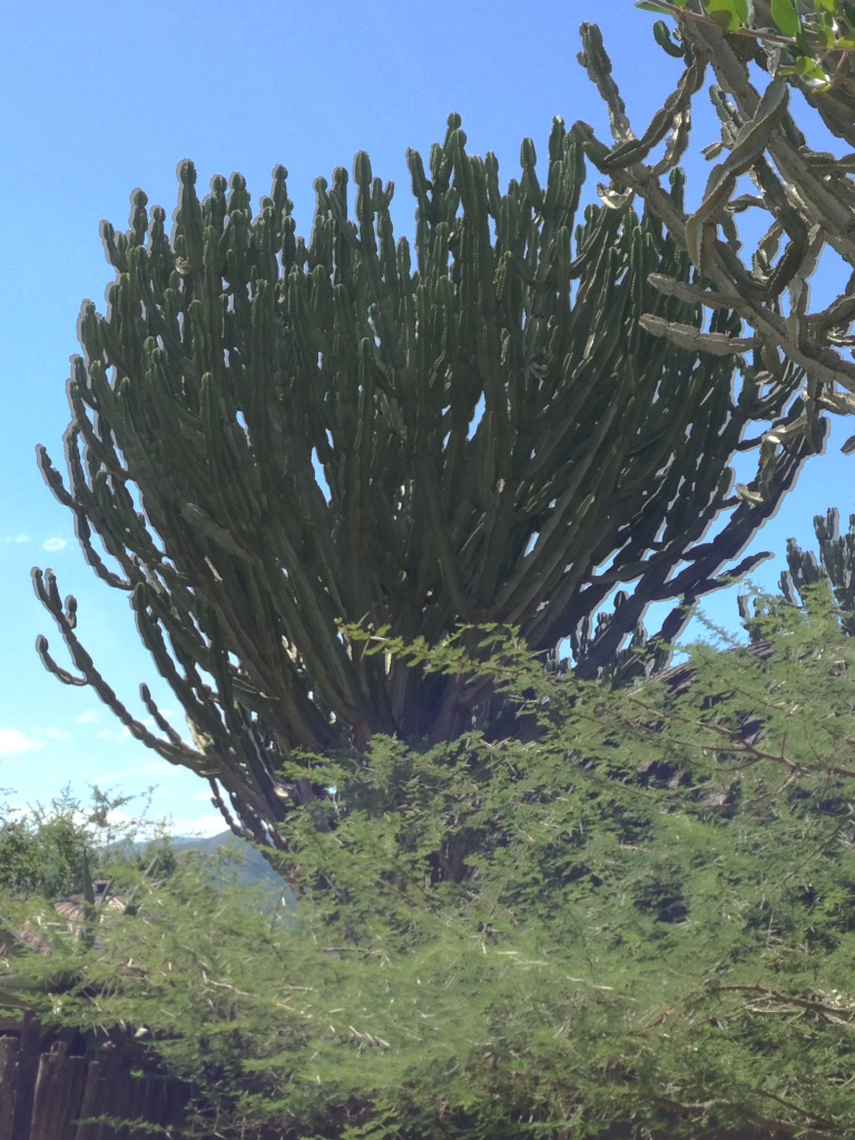
A lot of people still live in the countryside and live off the land, they can easily grow their own food and live in simple housing, some provided by the government. Education is free and there are steps in place to bring up the level of education especially in the country schools where there may not be any electricity, water or transportation. We pass large cacti called candelabra cactus, the sap is poisonous and was used by some tribes on the tips of their spears for hunting.
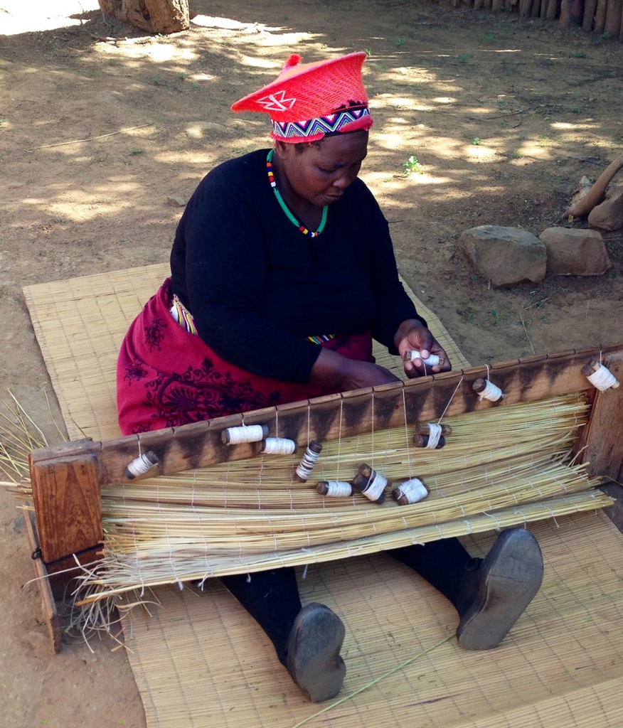
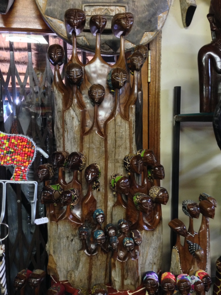
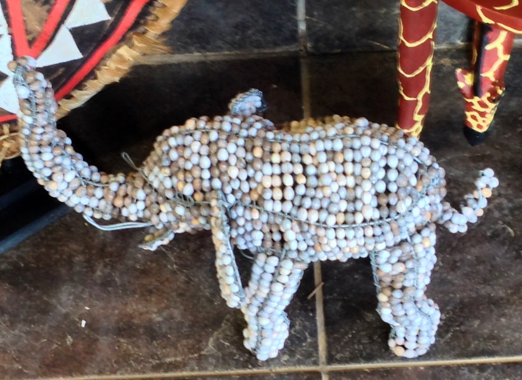
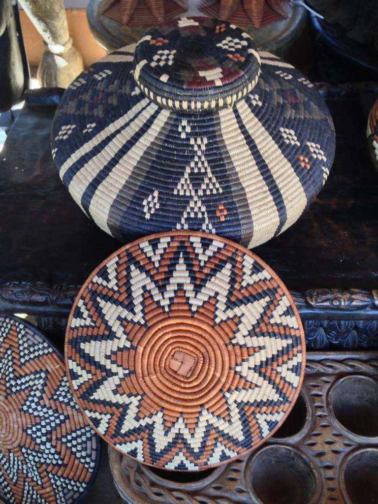
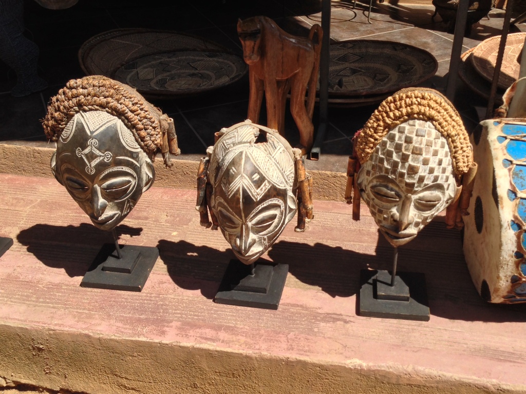
We tour the village, watch some weaving, spear making, beer filtering, see some dances (we have some videos of that) and have a talk about the culture and the homesteads. There are some beautiful carvings, beading, weaving and masks. We saw an interesting movie on Shaka’s life and watched the warriors and maidens dance. Very athletic! It would have kept the warriors in shape doing that regularly!
We also learn about Shaka. He is the one credited with merging all the tribes into the Zulu nation. He was a warrior who developed a new weapon to use in place of the throwing spear and developed battle strategies that were highly successful. He is said to be the only leader of an indigenous army that defeated the British in battle. He is called the Black Napoleon.
Zulu means “people of heaven” and they are very proud of their heritage and their heroes.
Once back on ship it was such a beautiful night that we had dinner out on the terrace, finally some relief from the oppressive heat we have been experiencing for the past few weeks. We watched the helicopter come to pick up the pilot. The helicopter, stopped over the bridge area, lowered a harness, the Pilot got into the harness and was off the ship very quickly. We have never seen this before and the crew advise this is done quite a bit now as it is a far safer way for the pilot to board and leave the ships, especially at night.
It was a different New Years Eve, mainly because we stayed up until midnight, of course there was the “free” champagne and we all wanted to get our moneys worth. There were balloons, hats, noise makers, music. At midnight the captain blew the horn, so there was lots of noise to welcome in the New Year. The next morning was a lovely brunch with all the trimmings including mimosas.
Right above the pool deck where we were welcoming in the New Year was a very bright light – we all thought it was a planet, but it is the space station!
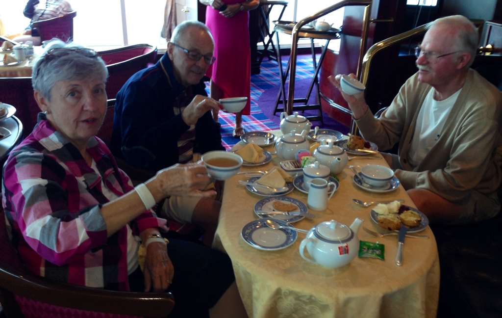
We have just completed 2 days at sea, so now it is back to work! Touring can be so tiring, it is a good thing we can get high tea when we return to the ship. That rejuvenates us so we can be ready for our nightly trivia group and then the gourmet meal that someone else cooks, serves and cleans up after.
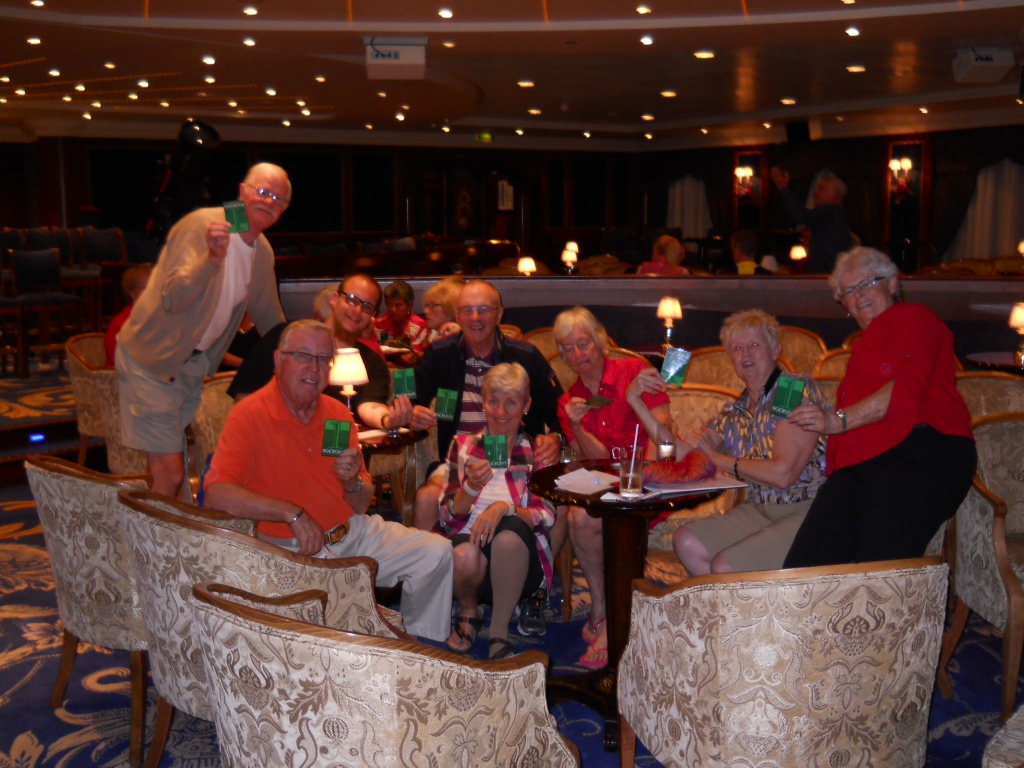
Our nightly trivia game is important. So far Gary and I have collected about 36 Big O points. On the last day we can use them to buy really valuable things, like key chains or T-shirts! I have included a picture of our team with our latest Big O point cards.
Today we explored Maputo, the capital of Mozambique. In the morning we pulled into a huge bay. The first time we have seen brown water on this trip, that is because of the river systems that empty into the Indian Ocean here. There is a cyclone up near Madagascar which caused some swells over night, also we were sailing in the Mozambique channel against the Mozambique current.
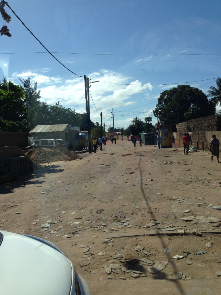
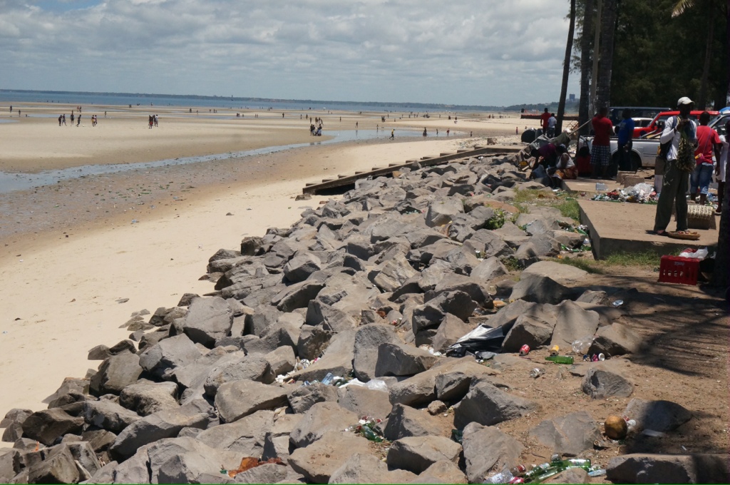
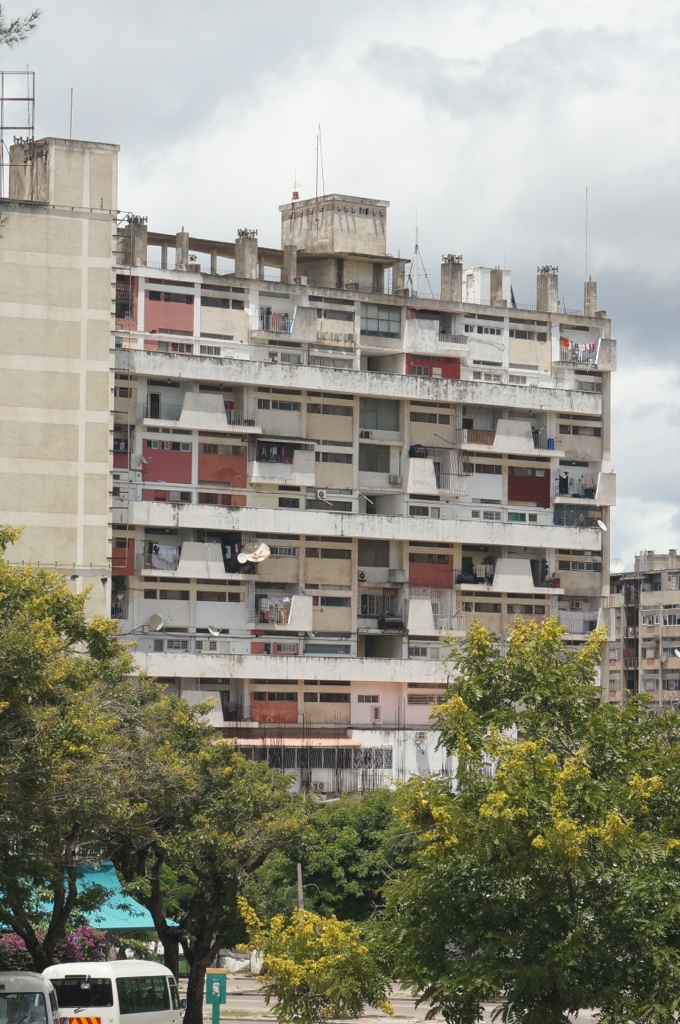
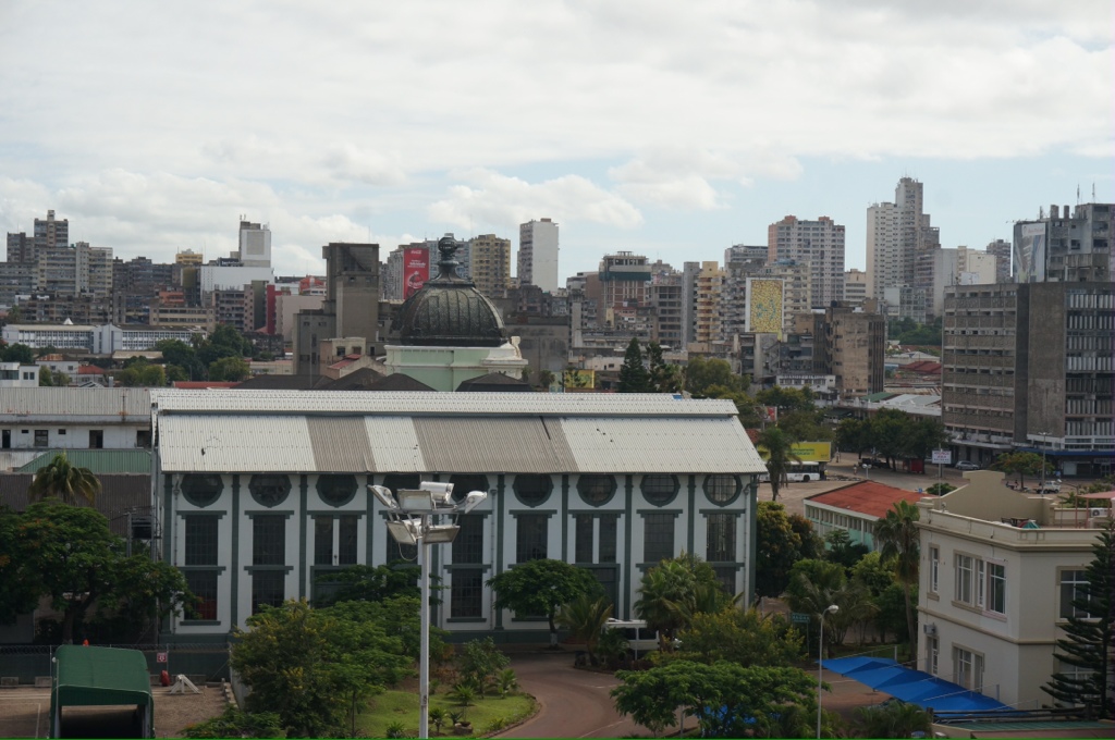
I was expecting a modern city as we understand the city has been rebuilt since the civil war ended 20 years ago and as we sail towards the city we see lots of modern looking buildings marking the horizon. However, the reality is a dirty, trashy looking city much like what we have seen most of our trip. The buildings are not maintained, haven’t been painted or cleaned, garbage is everywhere, broken glass litters the streets and beaches.
Mozambique was settled by the Portugese and they were here until Independence was declared in 1974 after a 10 year war. Then in 1977 civil war broke out. It lasted about 20 years, so the country has only known peace since 1997. Our guide said it was because the people did not get the freedoms they expected with independence. Somera Mikal was the first President after the war, he had been instrumental in the victorious party. They now have an elected President and parliament. Elections are held very 5 years and the President can serve only 2 terms. There are 11 provinces. The real power is with the President and he appoints a Prime Minister and other various ministers. It is clear that there is a lot of corruption in politics and the police.
Mozambique has a population of about 30 million, there are 3 large cities , Maputo is the largest with a population of about 3 million. Most of the population still live in rural areas and are still involved in agriculture.
The schools are free up to grade 7 and the first language is Portuguese, English is only taught in the private international schools. There is free medical care, however, it is not very good, so anyone who can afford to goes to the private clinics and hospitals. It is a holiday today and the streets are not busy.
Only 20% of the population have employment and for those lucky enough to have a job the average wage is $100 per month.
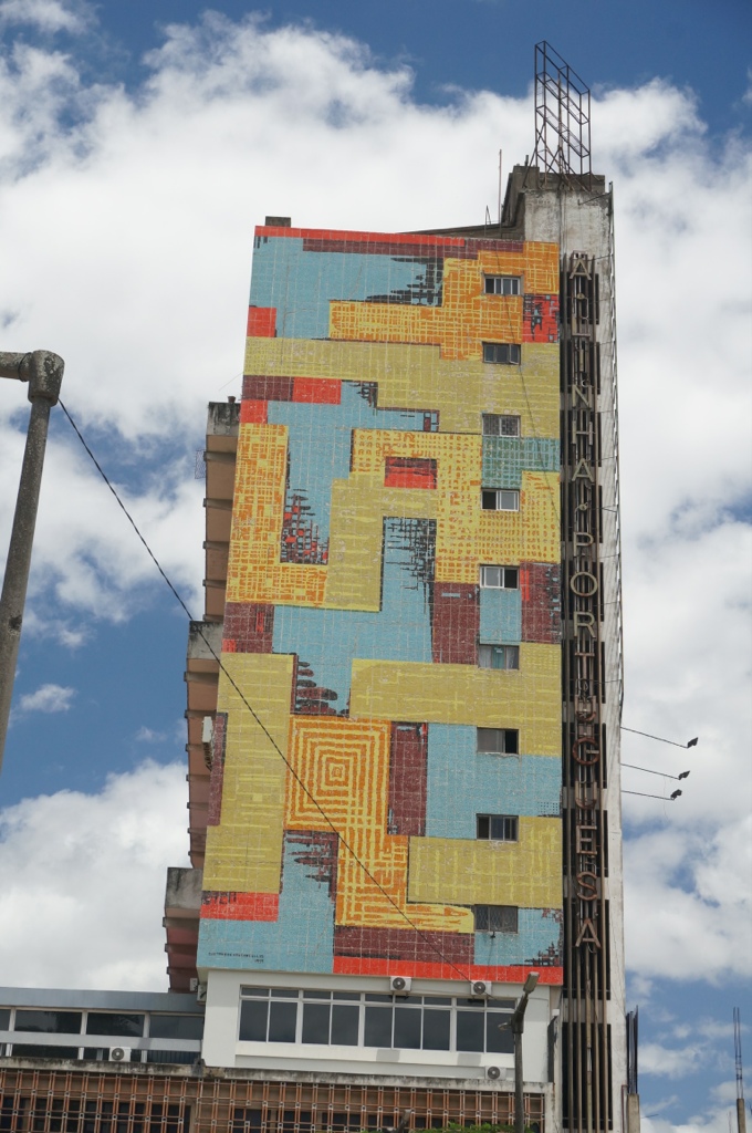
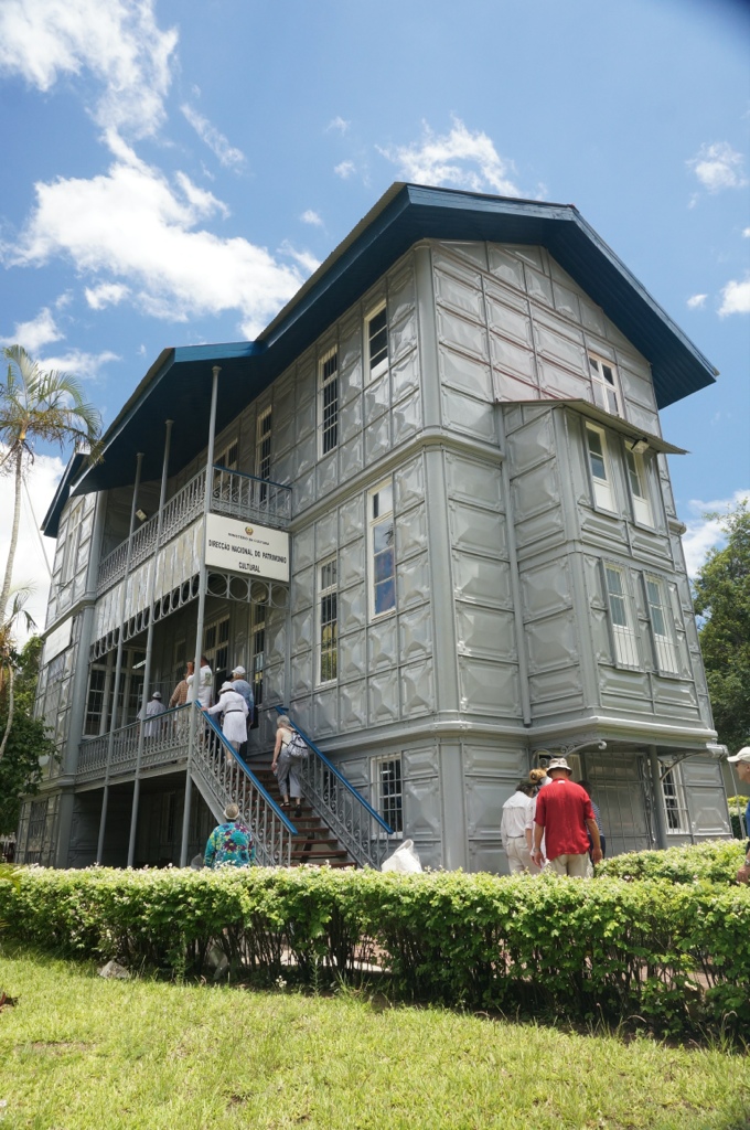
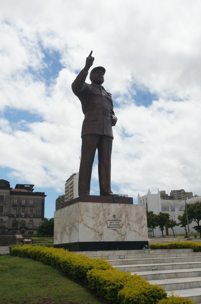
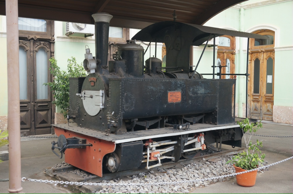
Our first stop is the Railway station which was built in 1910. It was originally though to have been built by Eiffel; however, recent information shows that is not the case. It is normally busy but today very quiet. We see examples of old steam engines (a 10 wheeler and a 4 wheeler). A drive through the downtown area takes us past the statue of Somera Mikal, the first President and freedom fighter. When he died his widow married Nelson Mandela. We also pass the Iron House, a house built of iron, designed by a student of Eiffel. The house was never lived in as it was too hot in summer and too cold in winter. Their summer temperatures average over 30C while winter can get as cold as 16C, which our guide advised is very cold for them.
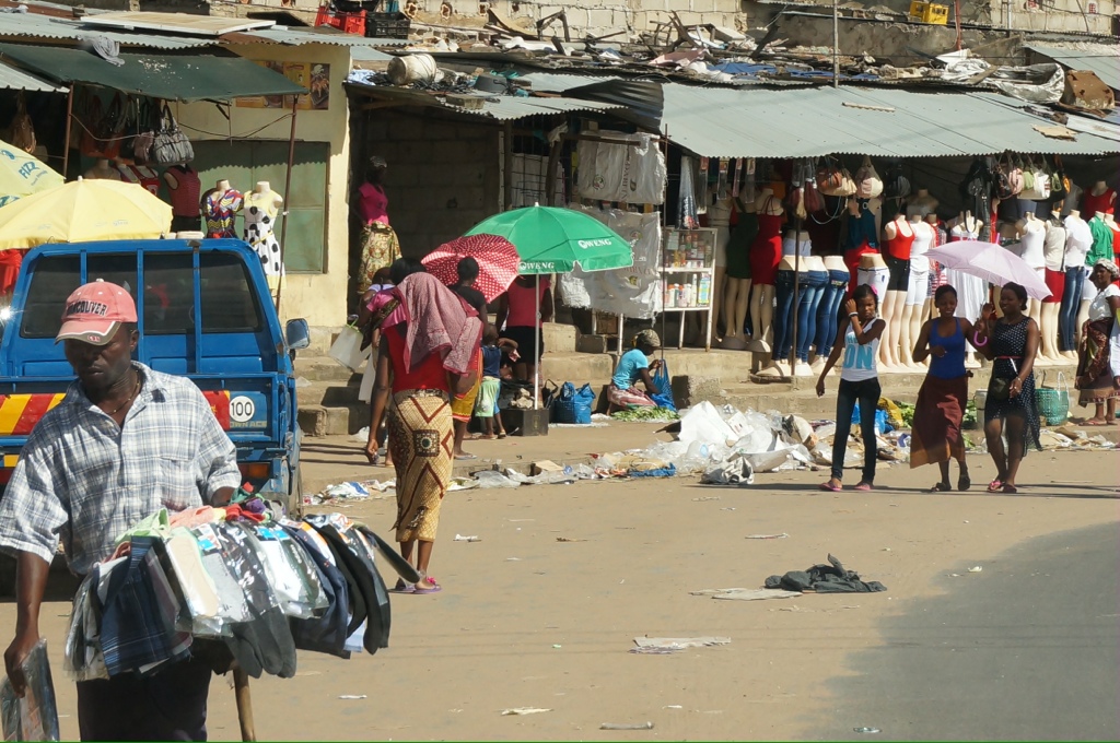
We visit the city market. It is much like other markets we have visited except I noticed several small store fronts selling hair. When I asked about this our guide called over one of the female guides and they explained that their hair is very short and women will add hair to make it look longer and fuller. The guide explained she had this hair on. Basically it is hair extensions, made from real human hair and very common.
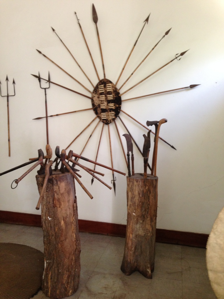
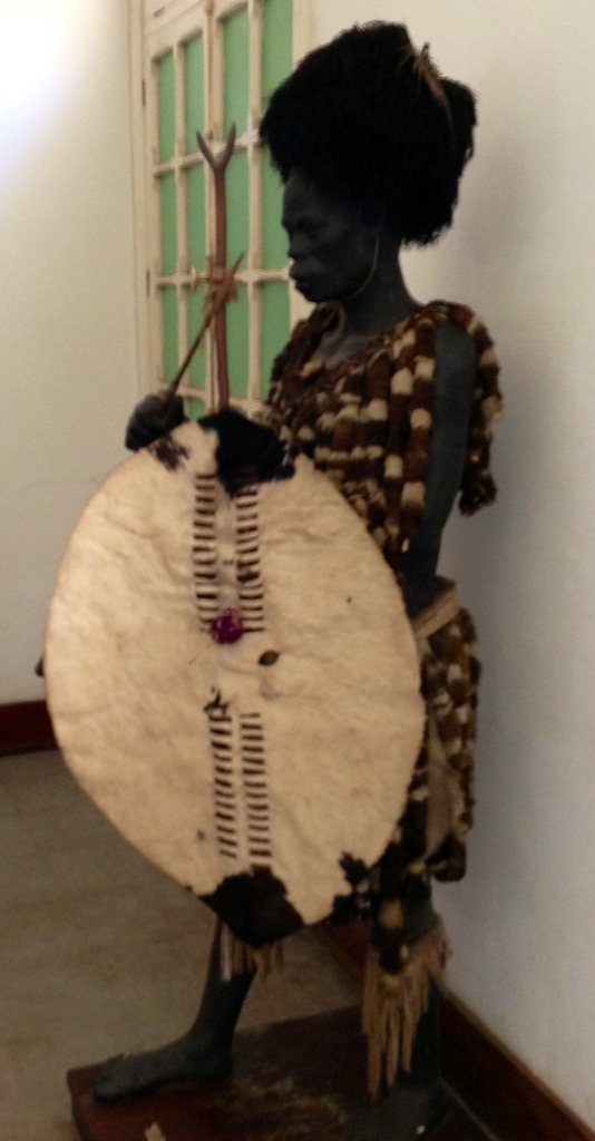
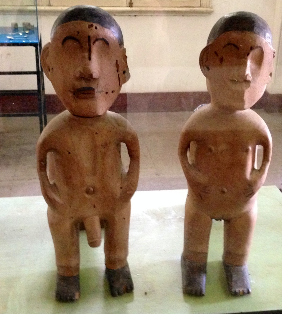
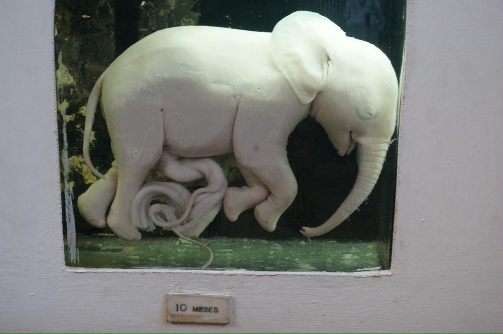
We visit the museum which has displays of the local animals, a display of elephant fetuses and some household goods and carvings. A very good museum by the standards we have seen on this trip.
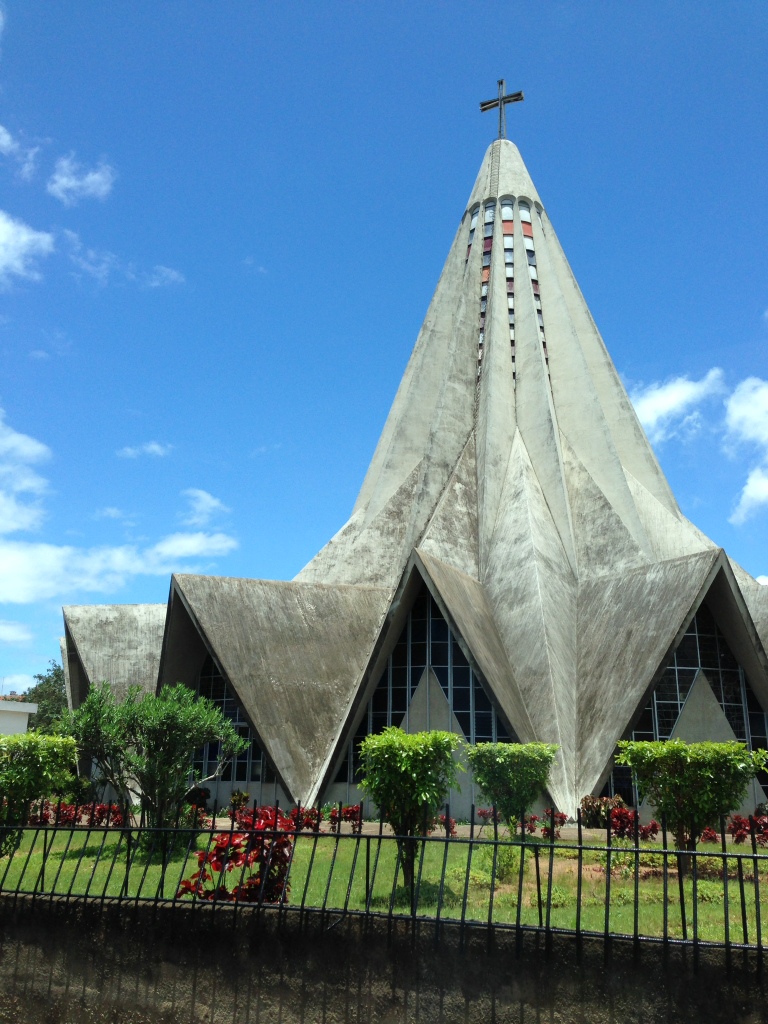
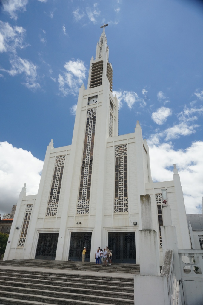
We next drive by the “lemon squeezer church” a look at the picture will explain the name. We drive through embassy row and along side the Presidential offices and are warned not to take pictures. We later learn that someone on another bus did take a picture – their bus was followed by the police and when it next stopped everyone was questioned, had to provide a copy of their passport, had their cameras taken away and were detained for about a half hour. Eventually their cameras were returned and they continued on.
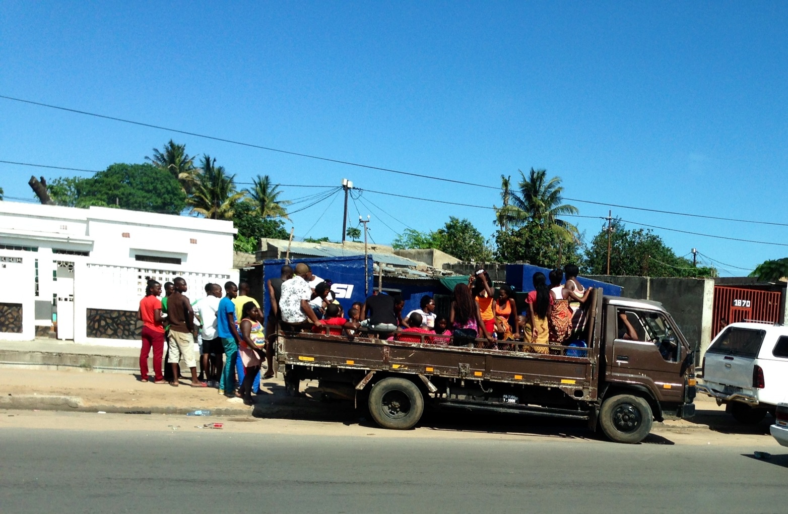
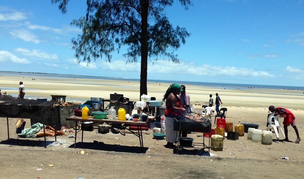
We stopped at a local beach – beautiful sandy long beach that went on for miles. As it is a holiday there were lots of families out, vendors cooking chickens on BBQs, people exploring the beach etc. unfortunately the whole scene is ruined by the garbage especially broken glass around. Not only unsightly but dangerous. We see several pickup trucks with people standing in the back driving down the road.
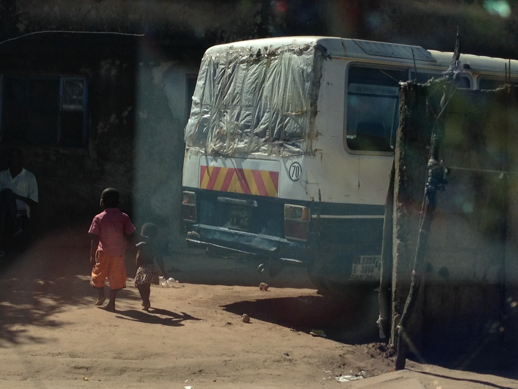
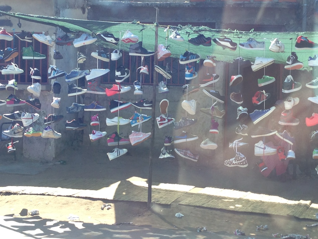
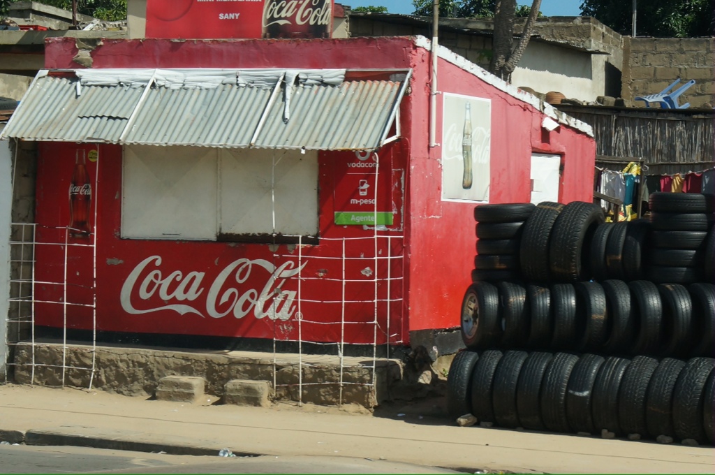
After lunch at a lovely hotel we drive through one of the suburbs, we would call it a slum! Even more garbage, run down and make shift shacks, dirt roads, people selling anything and everything by the side of the road. We pass by shacks selling clothes – these are clothes donated from other countries, selling tires – these are stolen from cars left in unguarded parking areas.
Our guide tells us he has a 2 year old daughter and is planning to get married once he can afford the bride price. He is surprised to learn that men don’t have to pay a bride price in our countries. He says he needs $300 US for the bride price, which he will pay to her parents, he then must by clothes for her and all her family for the wedding and he is responsible for the costs of the wedding.

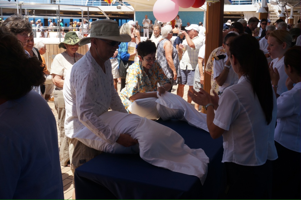
Yesterday we had a day at sea and the crew put on a “country fair”. Each Department had a booth with different contests. For example Housekeeping had a race with 2 people competing to see who could put a pillow into a pillow case the fastest, the boutique had a race to dress mannequins, the bars a ring toss onto bottles, etc. you could win tickets and then there were draw prizes. Most people got into the spirit and had some fun.
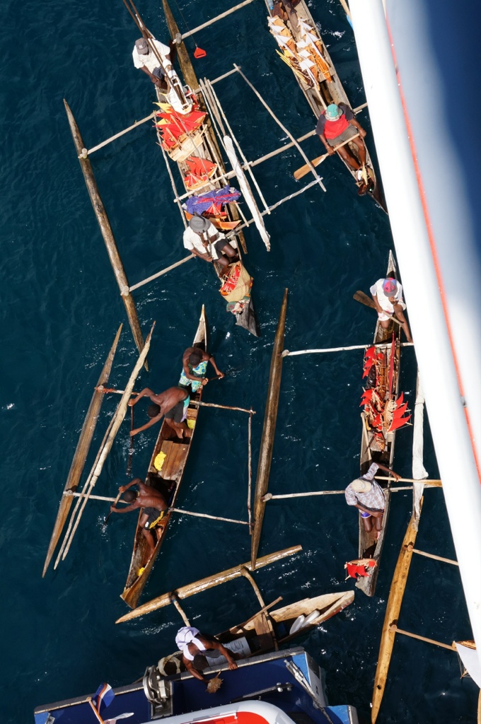
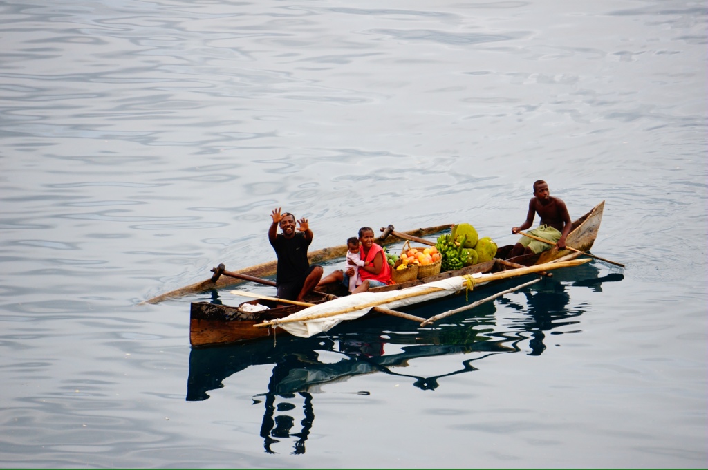
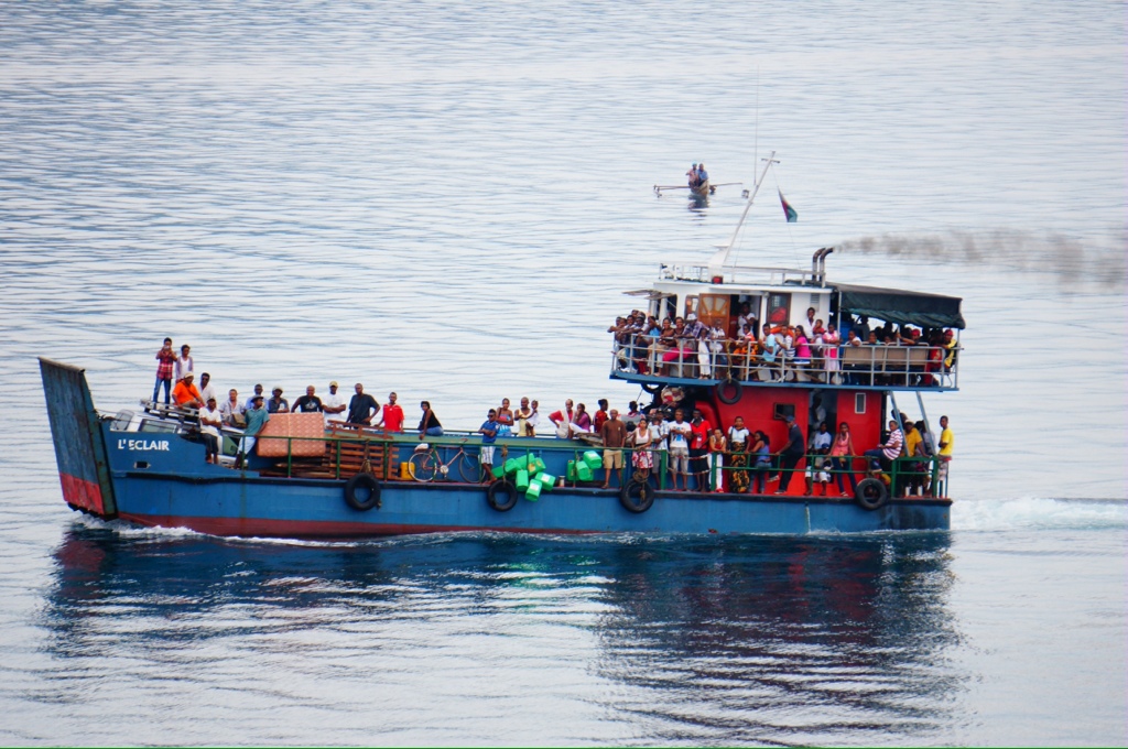
Today we took a tour to Nosy Komba, one of the Madagascar islands. Madagascar has about 30 islands, 5 large ones that are inhabited. We anchored off of Nosy Be (Malagasy for Big Island). Nosy Be is about 5 miles off the northwest coast of Madagascar and is the largest and busiest tourist resort. As we sailed in toward the anchorage we passed small islands, many small sailboats, a very rickety looking ferry boat, several rustic looking canoes. It was a beautiful scene with the lush volcanic islands, sandy beaches, boats dotting the water, white houses on the islands and a colorful port area. It wasn’t long before several of the canoes were around the boat trying to sell fruit, fish, carvings, shark teeth, small carved boats. The canoes usually had a paddler and a bailer working – didn’t seem to be very water proof. The canoes seemed to be like a dug out with an outrigger on one side and a couple of poles out the other side where the sail was stored when not in use. When the sail was up in looked like a patchwork of whatever material they could find, often with holes and/or patches, it was a simple square rig.
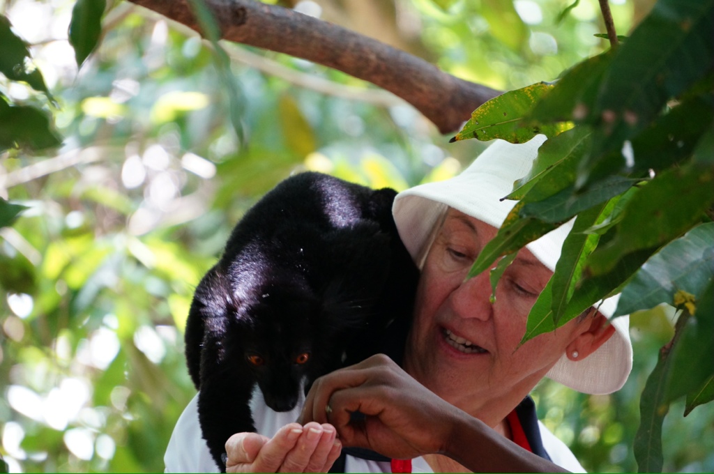
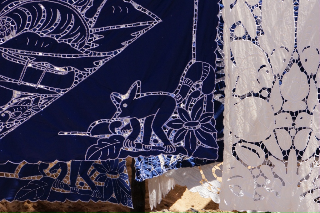
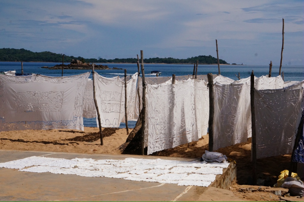
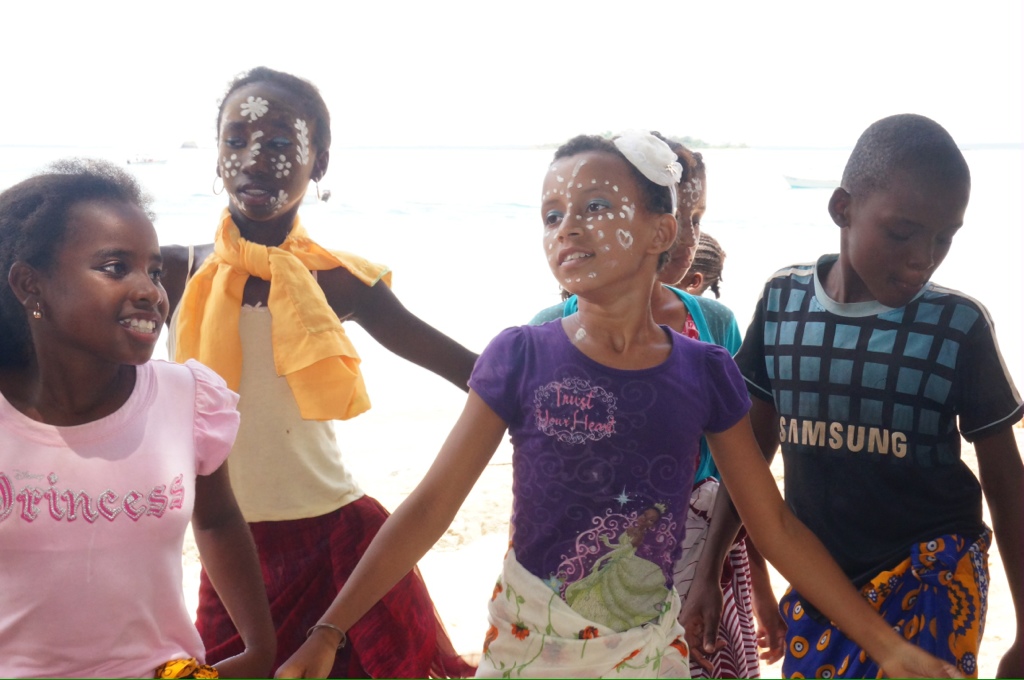
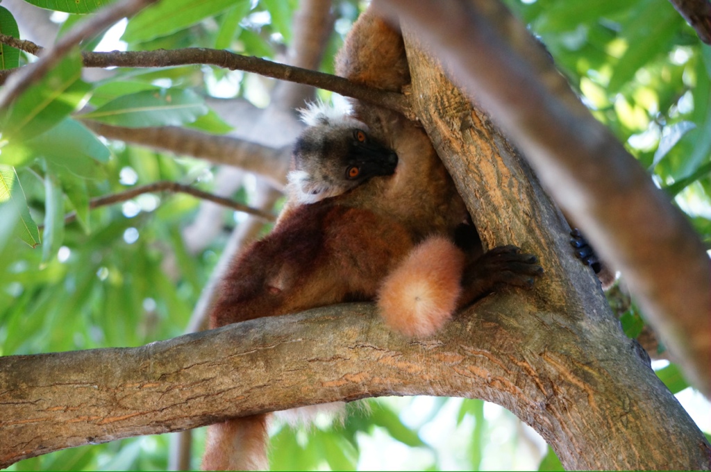
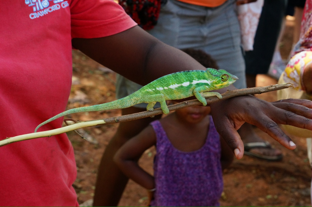
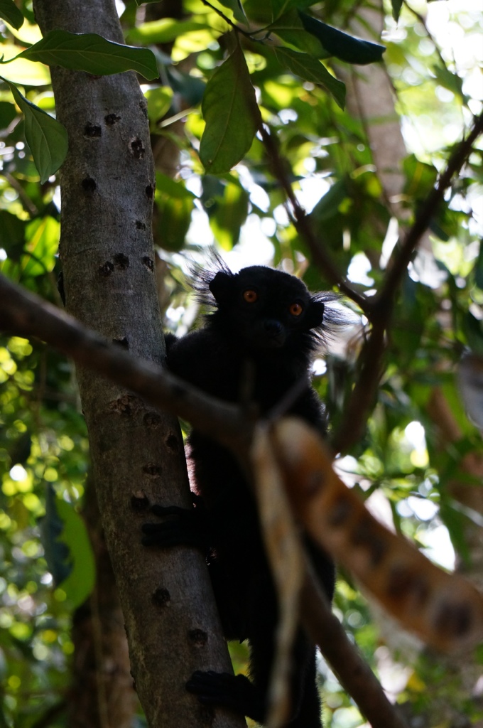
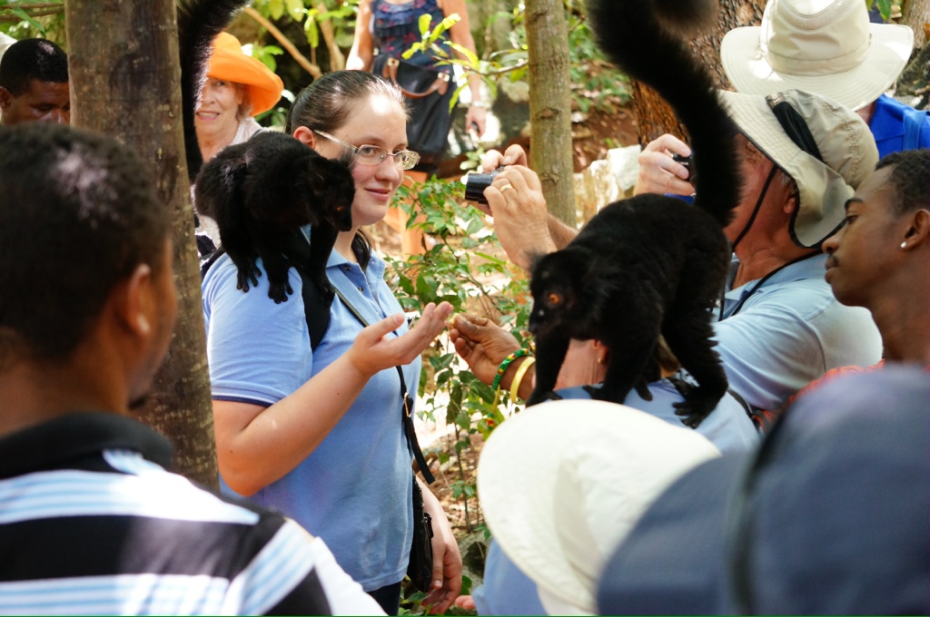
We took a water taxi over to Nosy Komba where we visited the local village and the lemur sanctuary. The villagers had their crafts on display and were playing music, dancing, displaying animals etc. Everyone including the kids had their hand out looking for money. Kids selling vanilla beans, little girls doing the local dance – like the hula but with no hand motions, just the hips and they were all pretty good!! The women did embroidery (many embroidered tablecloths for sale), the men did carvings, the kids danced, played music, sold flowers and vanilla. As they followed us along we made quite a parade through the narrow dirt streets. Many of the women and girls had their faces painted with white paint. The guide said they did it to look beautiful and to provide some protection from the sun.
The main language is Malagasy and there is quite a bit of French as well. The people are of Asian and African descent
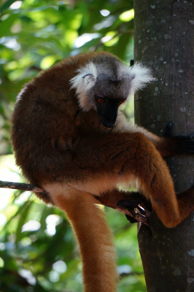
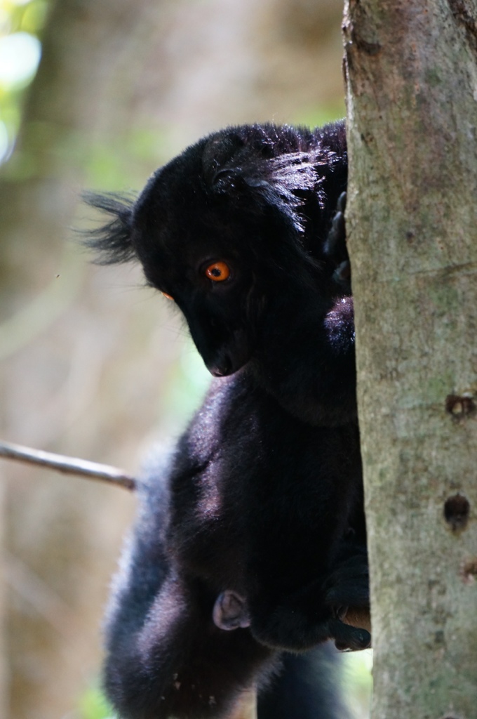
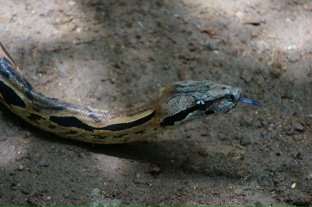
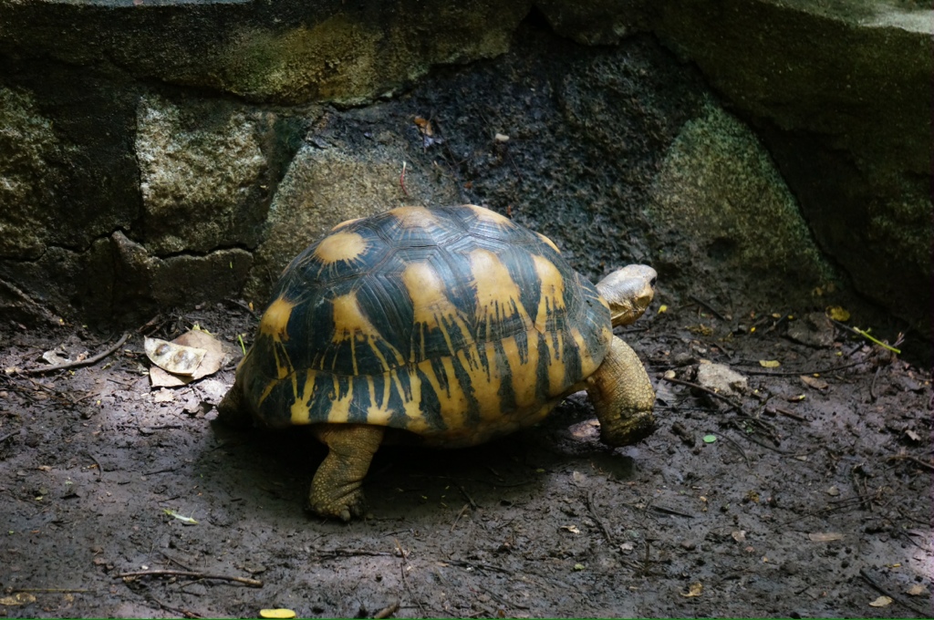
There were 2 colors of lemurs – black (males) and brown (females), we also saw tortoises, snakes and chameleons.
Thanks to everyone who is commenting on the blog. It is nice to know you are following along with us. Nancie and Ross, great picture of Mason and Caelan playing with the balloons! Mosey, yes, I am on antibiotics and am feeling much better.
We have 2 days at sea now as we have about 1200 nautical miles to our next port. So we will be toasting y’all while cruising the Indian Ocean, enjoying the warm ocean breezes and our champagne.
Happy New Year
 | Colleen Gammy on June 20 Trip to Lucerne |
 | Colleen on June 16 & 17 Milan |
 | Barb on June 15 Still Como |
 | travel70 on June 12 Como floods |
| Colleen Gammy on June 12 Como floods |